Mountain hikes Hut route Hochoetz

Oetz / Stubaier Alpen
Difficulty ratings: medium
Route length: 5.8 km
Duration: 3:30 h

PANORAMA RESTAURANT HOCHOETZ -> Acherberg Alm -> Bielefelder Hut -> Balbach Alm -> Kühtaile Alm -> PANORAMA RESTAURANT HOCHOETZ

Tour information

  • Requirement: medium
  • Length: 5.8 km
  • Duration: 3:30 h
  • Elevation uphill:316 hm
  • Elevation downhill:316 hm
Highest point2,112 m

Starting point

Panorama Restaurant Hochoetz

Finishing point

Panorama Restaurant Hochoetz
  • Fitness level 4 / 6

Best time of year

  • January
  • February
  • March
  • April
  • May
  • June
  • July
  • August
  • September
  • October
  • November
  • December

Equipment

Moderately difficult mountain trail; suitable for sure-footed and experienced mountain hikers; good physical condition, mountain experience, and mountain equipment (see equipment) necessary. Please check the current weather report at: www.oetztal.com/en/summer.html Appropriate equipment such as breathable and weather-appropriate outdoor clothing, ankle-high hiking boots, wind, rain, and sun protection, hat, possibly gloves, is required for all hikes and routes. Carrying a first aid kit, a mobile phone, and possibly a hiking map, as well as sufficient provisions on hikes without refreshment options, is necessary.
Source: Ötztal

Description

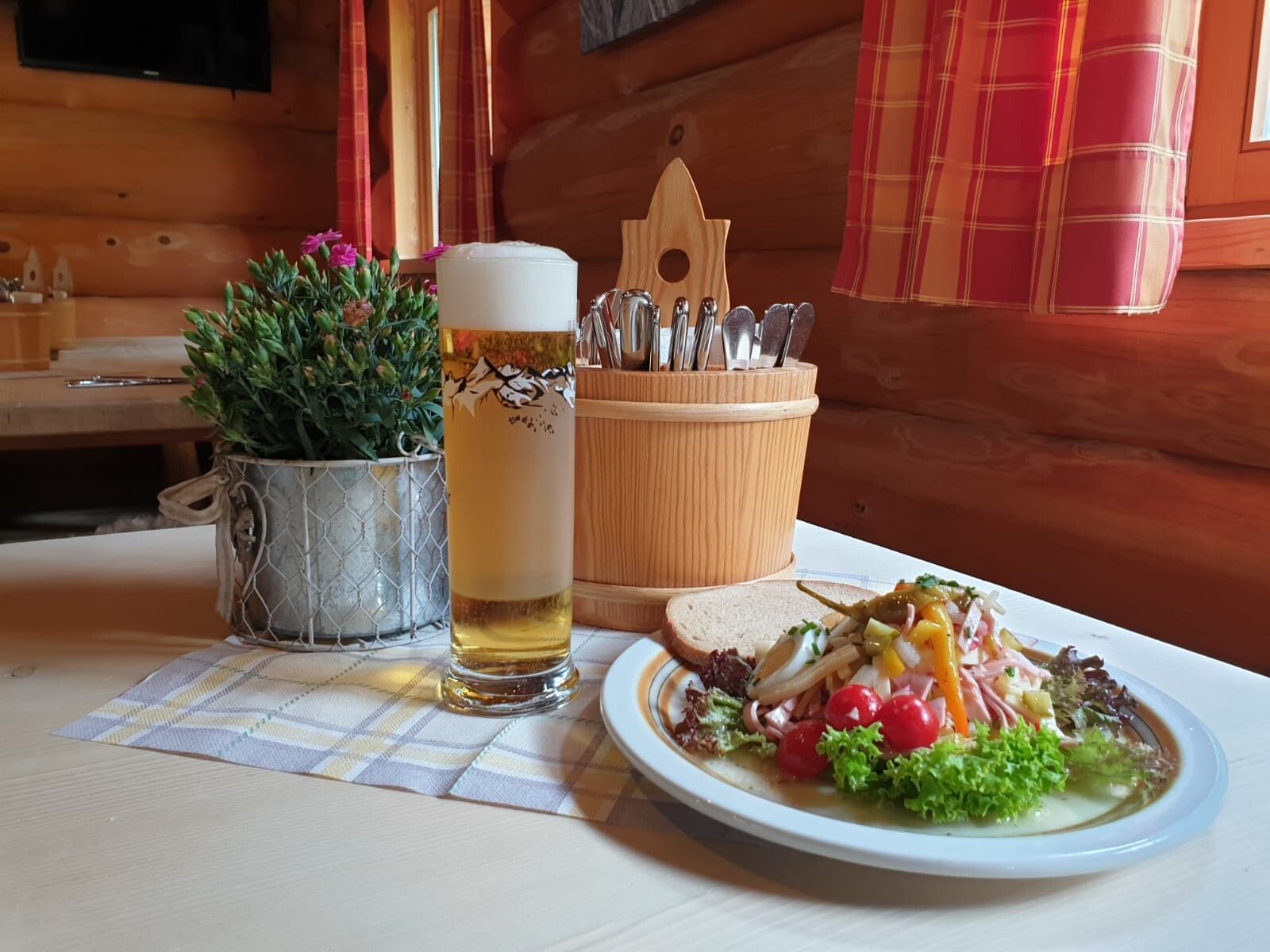
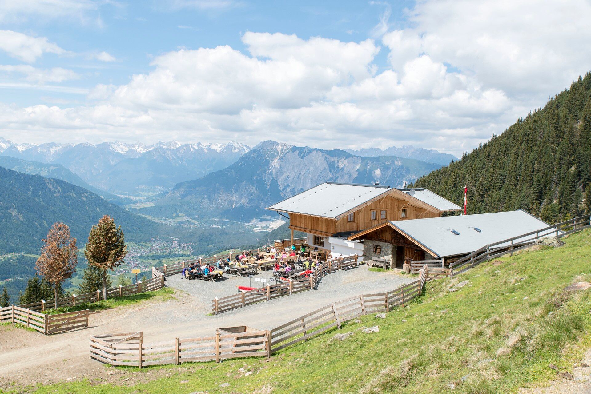
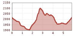
You take the Acherkogel cable car to the alpine pasture region Hochoetz. From the panorama restaurant (2020 m), a wide hiking trail gently descends to the Acherberg Alm (1888 m). From the Alm, you ascend to the Bielefelder Hut (2150 m). There opens a dreamlike view over the front Ötztal and the imposing Acherkogel.

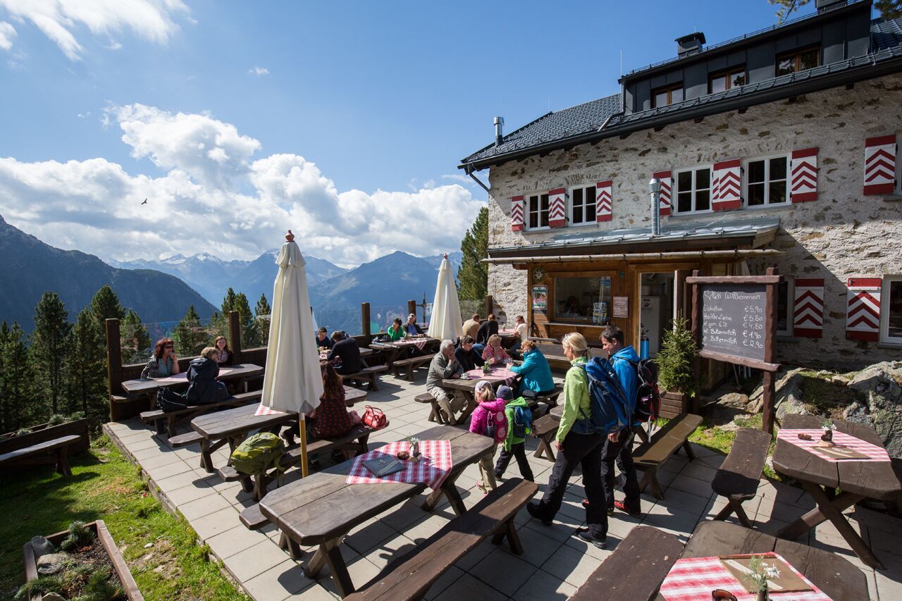
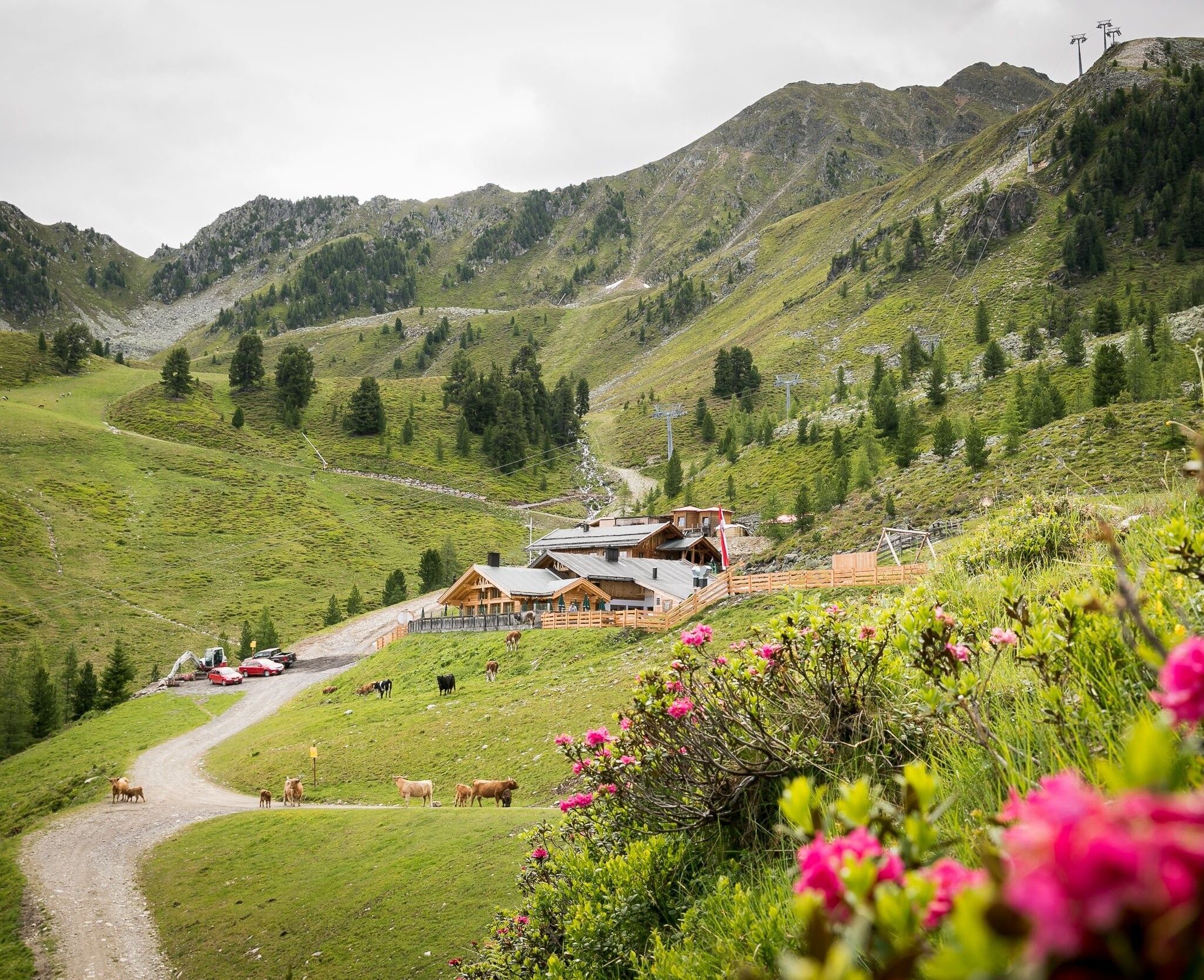
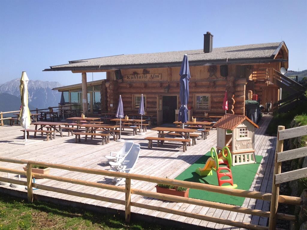
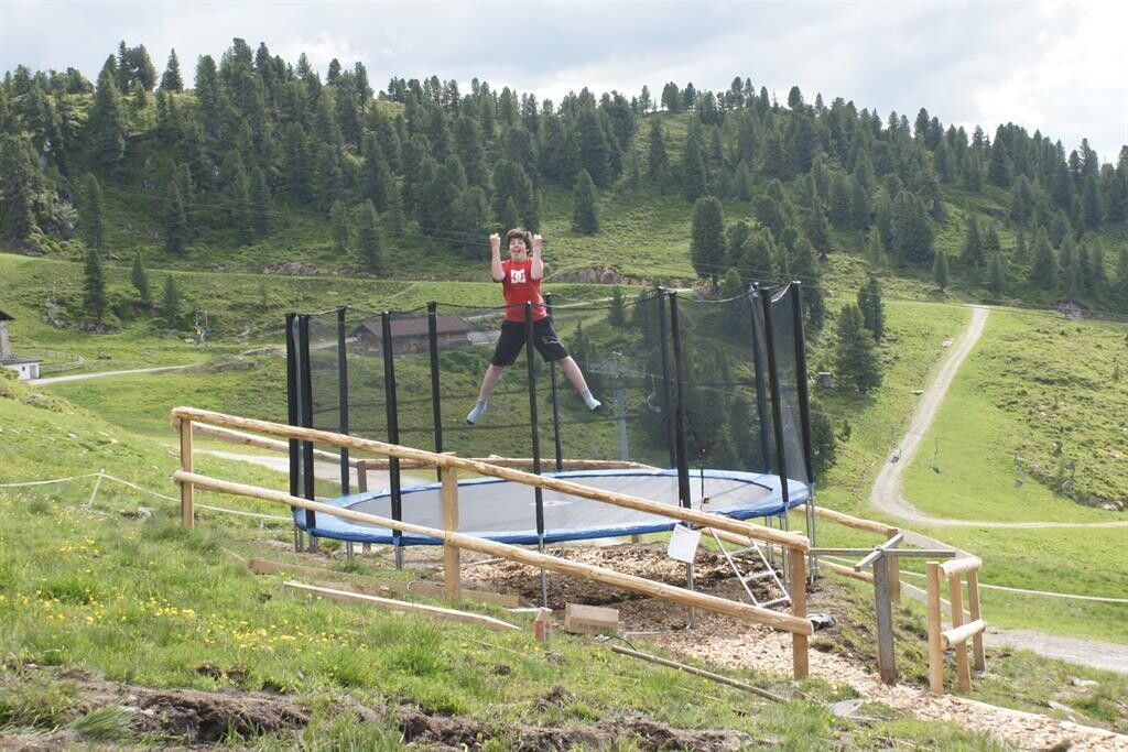
Then you hike along the forest road down to the "Mohrenkopf" junction. On the beautiful hiking trail, you then reach the Balbach Alm (1957 m), where children can play on a rope pull. On the front side of the mountain, you stroll to the Kühtaile Alm (1988 m). There is a small petting zoo with dwarf goats and dwarf donkeys, a trampoline, and a water playground for the children.

On the forest road, you go the last few minutes uphill back to the panorama restaurant.


Nearby huts and mountain restaurants

Getting here

  • Arrival by public transport

    Travel comfortably and safely by train to the Ötztal train station. The final stop or exit point is ÖTZTAL station. Then you travel conveniently and quickly by public transport or local taxi companies through the entire valley to your destination. The current bus schedule is available at: http://fahrplan.vvt.at

  • Parking

    Parking options available:

    • Parking lot at Acherkogel cable car (paid)
    • Parking lot at rafting entry point (at the end of Oetz on the right side) (paid)
    • Central parking lot Oetz (paid)
    • Overnight parking during multi-day routes: central parking lot Oetz, ticket available at the Oetz information office.
    • When ascending with the Ochsengarten gondola, free parking lots in Ochsengarten – camping prohibited

More tours in the surrounding area

Newsletter

The mountain is calling? So does our newsletter!

In our monthly newsletter we reveal the best holiday tips for Tyrol.