
Opening hours:Open today
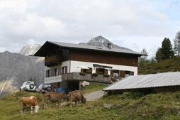
Place:Längenfeld
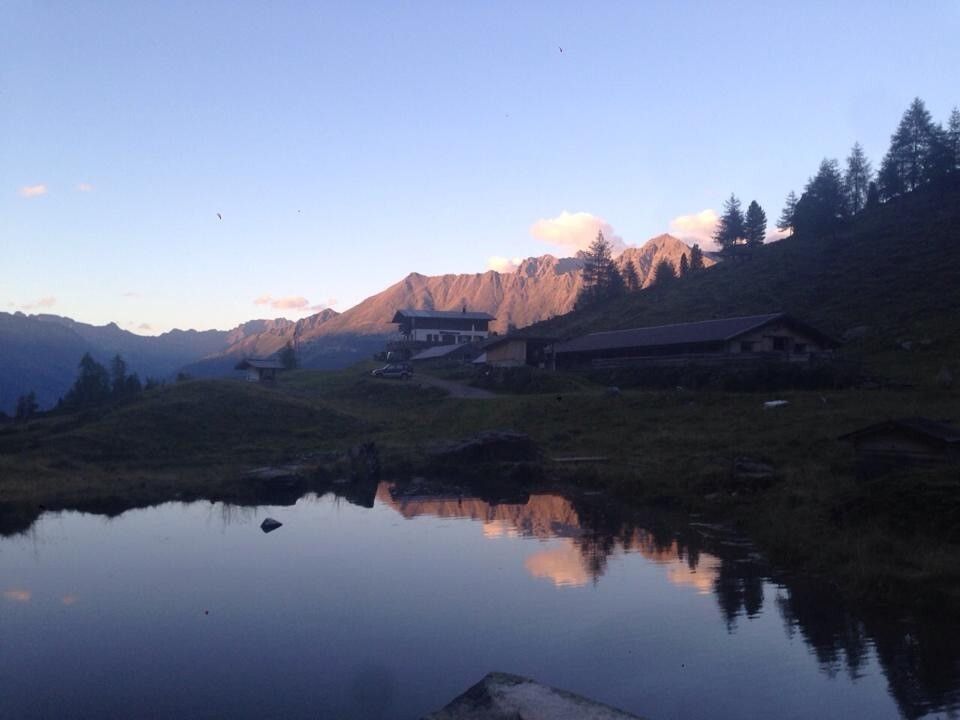
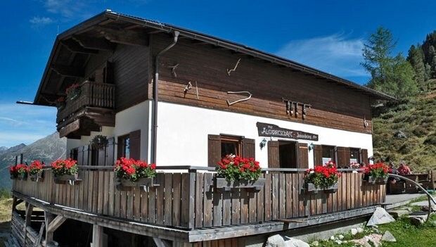
:Alpine pasture / hut / mountain restaurant
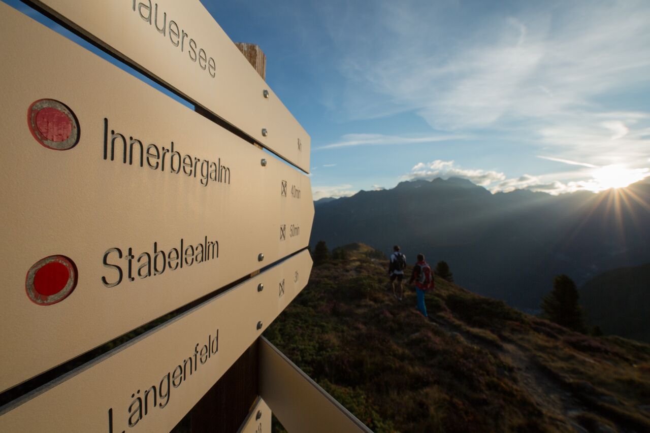
PLEASE NOTE: Due to forestry work, the trail from the district of Lehn to the Stabele Alm is closed. Alternatively, you can reach the Stabele Alm via the forest road. LÄNGENFELD/LEHN -> Trail towards Stabelealm -> Stabelealm -> INNERBERGALM
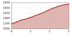
Moderately difficult mountain trail; suitable for sure-footed and experienced mountain hikers; good physical condition, mountain experience, and mountain equipment (see under equipment) necessary. Please pay attention to the latest weather report.
Proper equipment such as breathable and weather-appropriate outdoor clothing is required for all hikes and routes. Taking a first aid kit, a mobile phone, and possibly a hiking map, as well as sufficient provisions for hikes without catering options, is necessary.
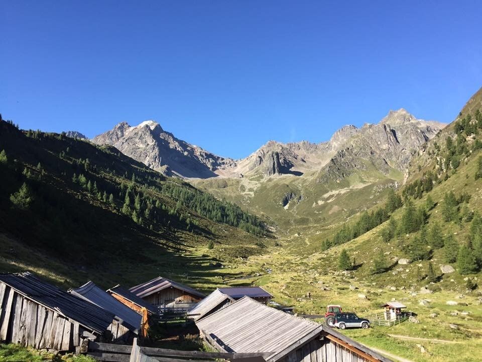
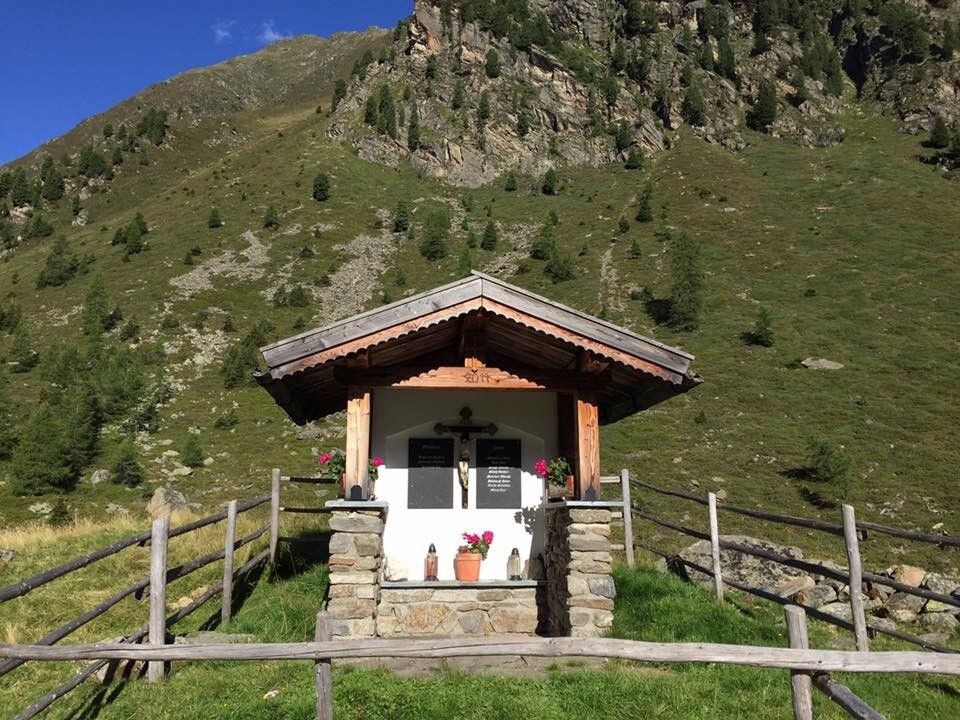
From the parking lot in Lehn (near the via ferrata entrance) the mountain trail steadily ascends towards Stabelealm. Along the path you cross or see the Lehner Wasserfall. The trail steadily ascends beyond the tree line up to the Stabelealm. From there, you only follow the hiking trail for about 30 minutes until you reach the Innerbergalm.
There is a second option to reach the Innerbergalm via a wide but longer forest road starting in Unterried. First, follow the signs towards Wurzbergalm, then the winding path to Leckalm. From there the forest road passes the Stabelealm to the Innerbergalm. (Duration: approx. 4 hours)
Travel comfortably and safely by train. The final stop or exit point is the ÖTZTAL train station. Afterwards, you can travel conveniently and quickly by public bus or local taxi companies through the entire valley to your desired destination. The current bus schedule is available at: fahrplan.vvt.at
The following parking options are available in Längenfeld:
Parking lot in Lehn – near the local history museum – fee required, €3.00 (Option 1)
Parking lot in Unterried - start of hike to Wurzbergalm - free (Option 2)


