
Opening hours:Open today
Place:
Hochgurgl
:
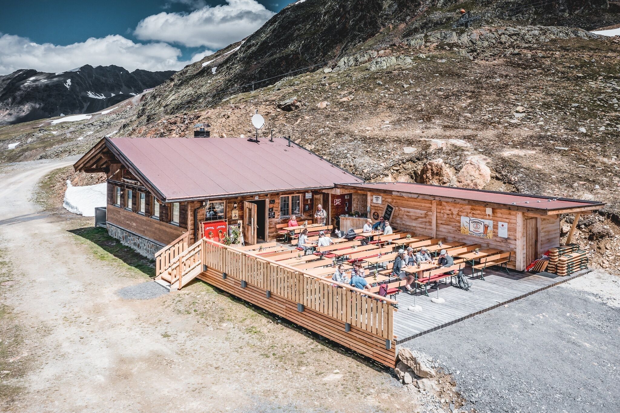
Restaurant
HOCHGURGL CROSSPOINT -> KIRCHENKAR HUT
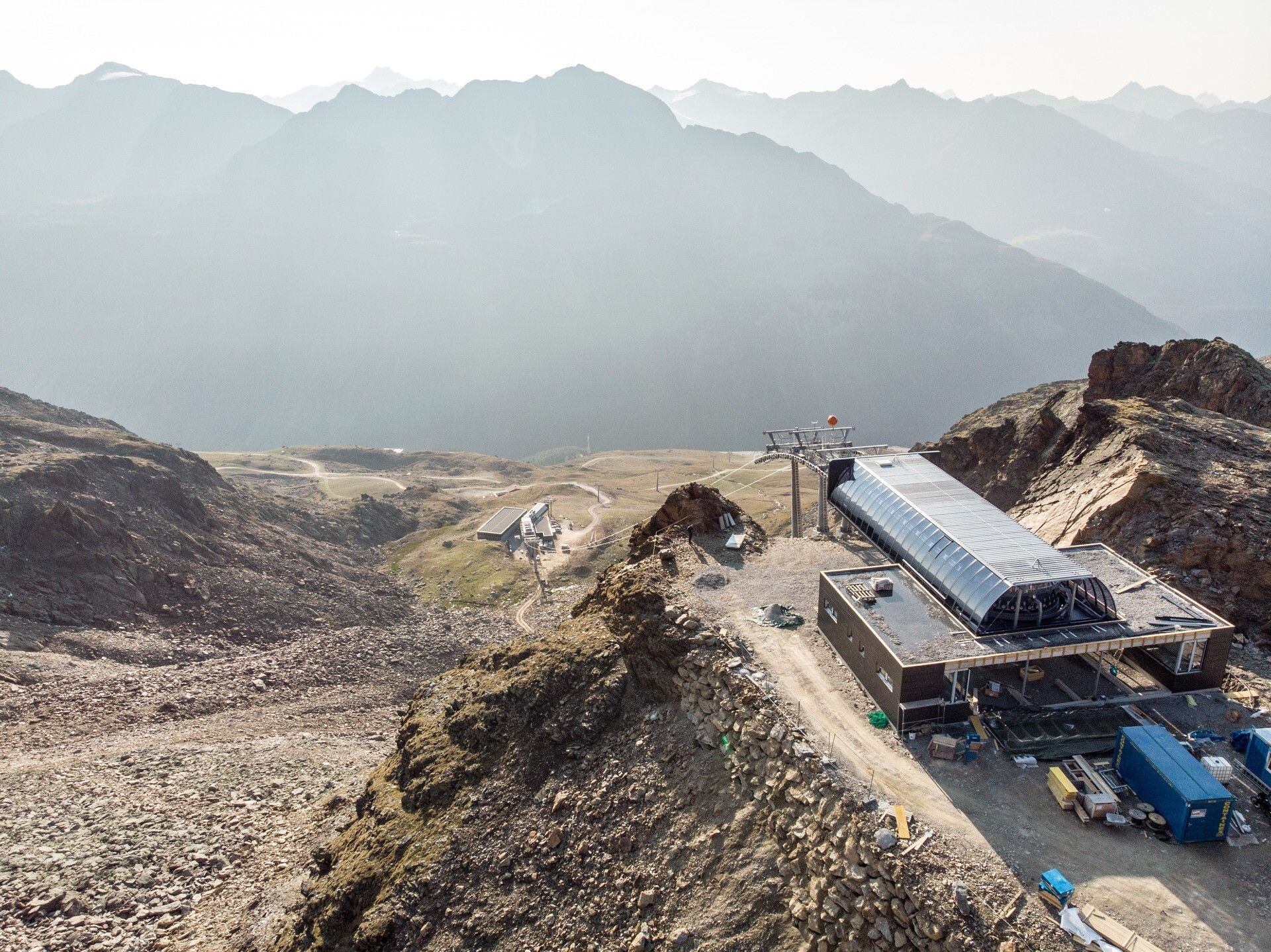


Start of this tour is behind the Top Mountain Crosspoint. From there leads a path up to the middle station of the Kirchenkar gondola. From mid July the path leads further up to the new plattforms and the top station at 2.839 m.
Travel safe and comfortable with the train to the Ötztal Bahnhof train station. Last stop and exit point is the train station Ötztal Bahnhof. Afterwards you can travel smoothly and quick with the public transport or our local taxi companies through the valley to your desired destination. Please find the current bus timetable here: http://fahrplan.vvt.at
The following parking facilities are available in Gurgl:


")


