
Opening hours:Open today
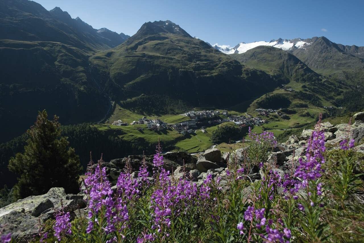
Place:Obergurgl
:Alpine pasture / hut / mountain restaurant
OBERGURGL -> Zirbenwald -> Schönwieshütte -> Langtalereckhütte -> Langtal -> LANGTALFERNER
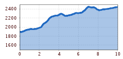
Moderate mountain path; suitable for sure-footed and experienced mountain hikers.
Good physical condition, mountain experience, and mountain equipment (see under equipment) are necessary. Please check the current weather report at: https://www.oetztal.com/de/sommer.html.
Appropriate equipment such as breathable and weather-appropriate outdoor clothing, ankle-high hiking boots, wind, rain, and sun protection, a hat, and possibly gloves are required for all hikes and routes. Carrying a first aid kit, a mobile phone, and possibly a hiking map, as well as sufficient provisions for hikes without opportunities to stop for food, is necessary.
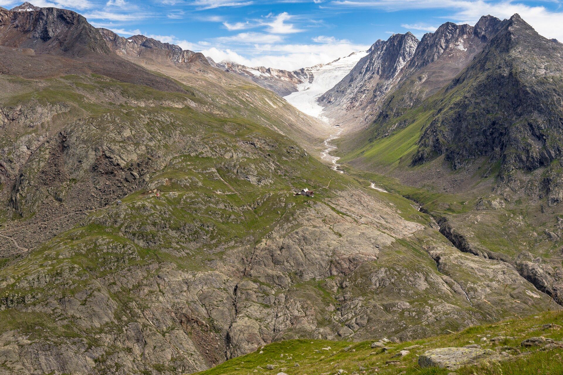
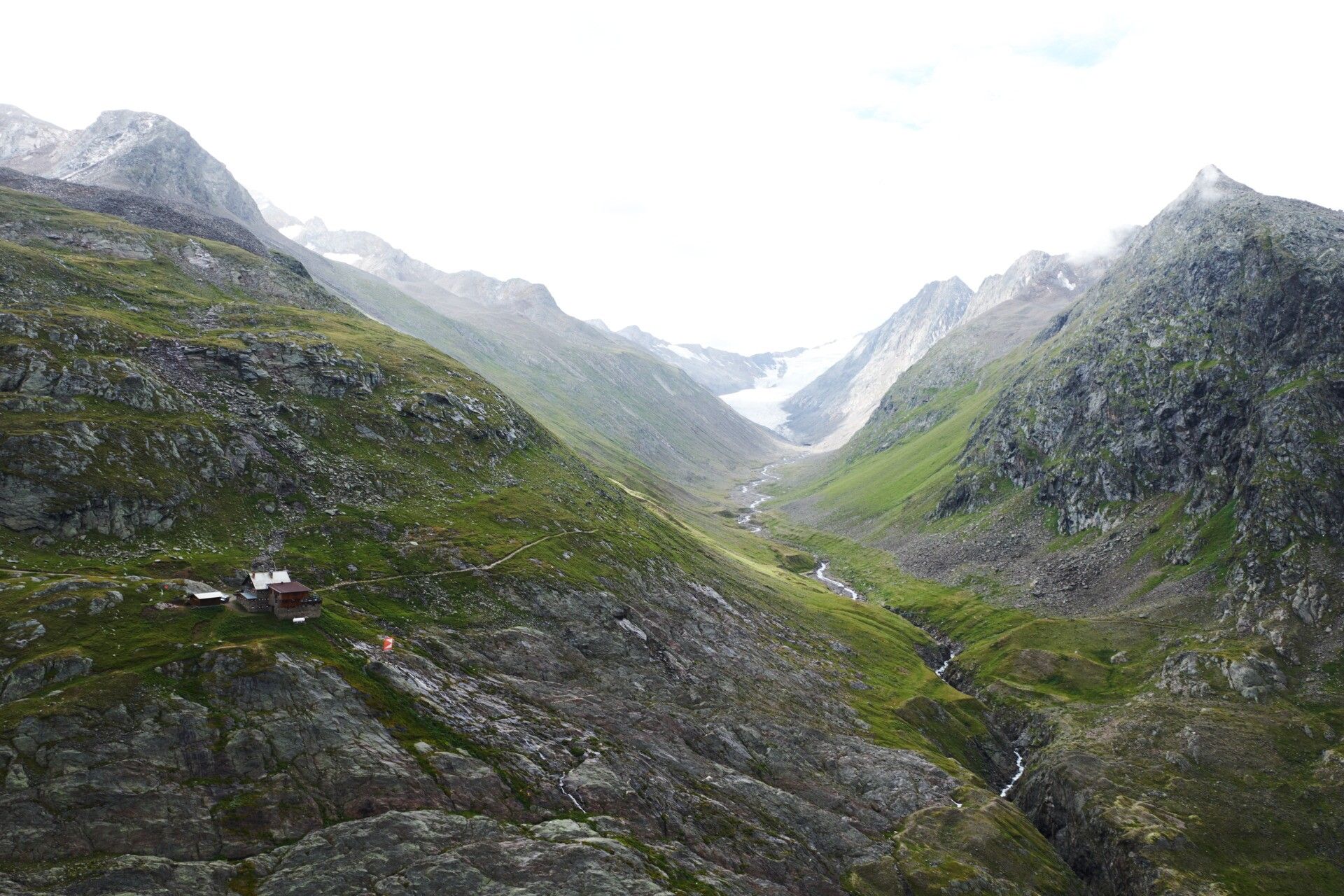
From Obergurgl via the Zirbenwald and the Schönwieshütte to the Langtalereckhütte. From there, always follow the stream downstream along the moraine to the tongue end of the Langtalferner with a stamp station.
Travel comfortably and safely by train to the Ötztal train station. The final stop or exit point is the ÖTZTAL station. Afterwards, you can conveniently and quickly travel through the entire valley to your desired destination by public transport or local taxi companies! The current bus schedule can be found at: http://fahrplan.vvt.at
The following parking options are available in Gurgl:


 neu.jpg")


")


 (1).jpg")

.jpg")

")


