
Opening hours:Today closed
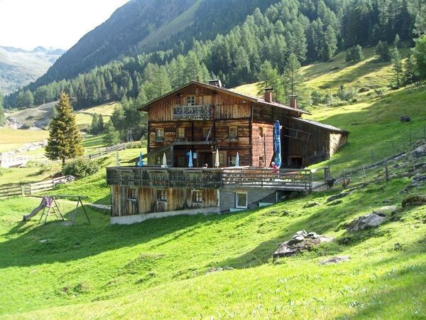
Place:Niederthai
:Alpine pasture / hut / mountain restaurant
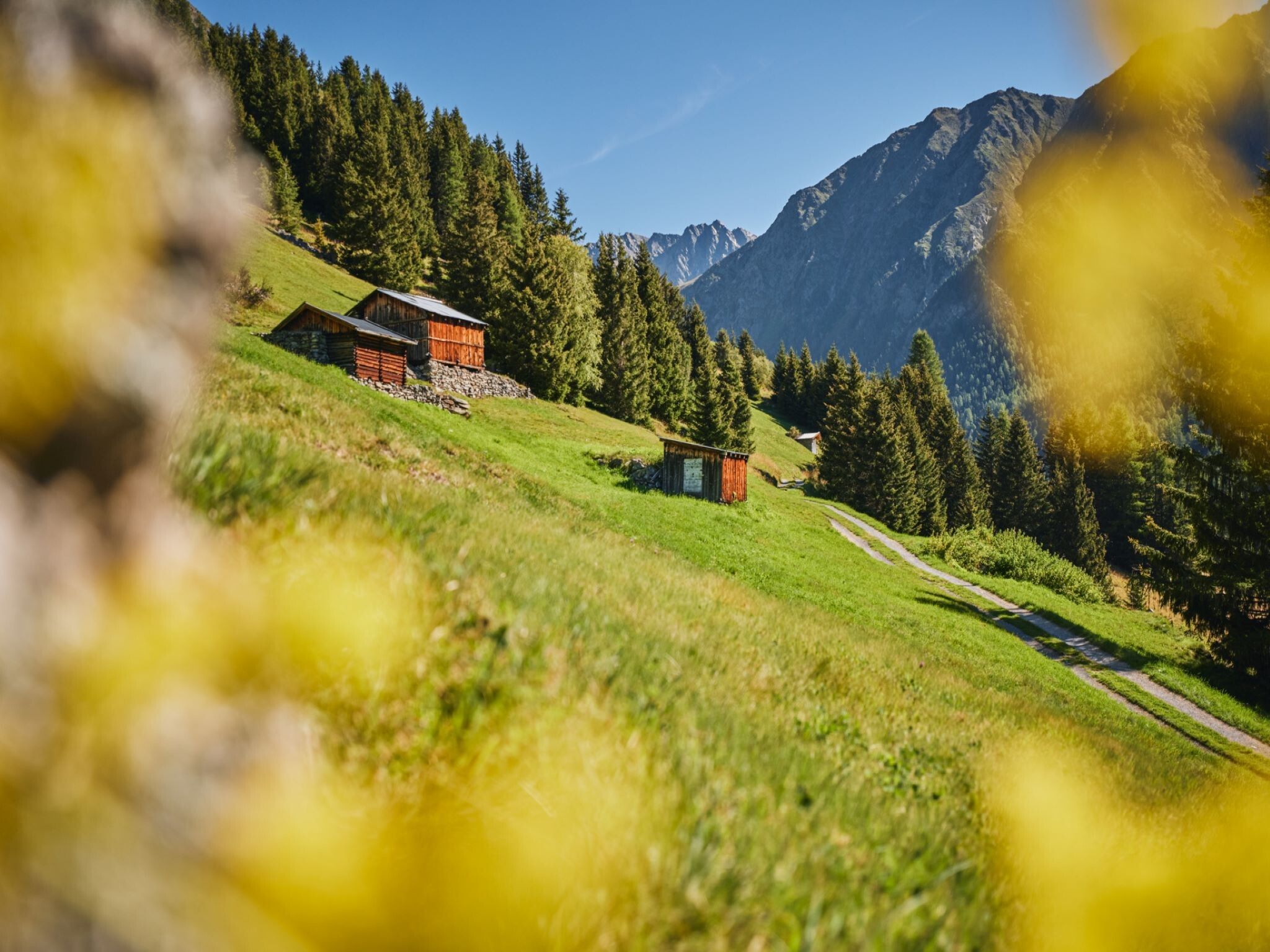
NIEDERTHAI Sennhof CAR PARK -> Horlachtal -> LARSTIGALM
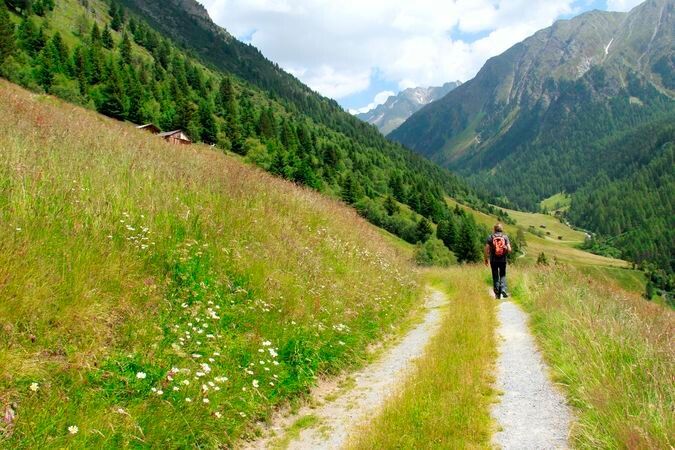

Easy hike; suitable for beginners and walkers
Please observe the current weather report
Proper equipment such as breathable and weather-appropriate outdoor clothing, ankle-high hiking boots, wind, rain and sun protection, hat, possibly gloves, is required for all hikes and routes. It is necessary to take a first aid kit, a mobile phone, and possibly a hiking map, as well as sufficient provisions when hiking without the option to stop for food.
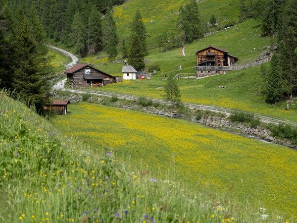
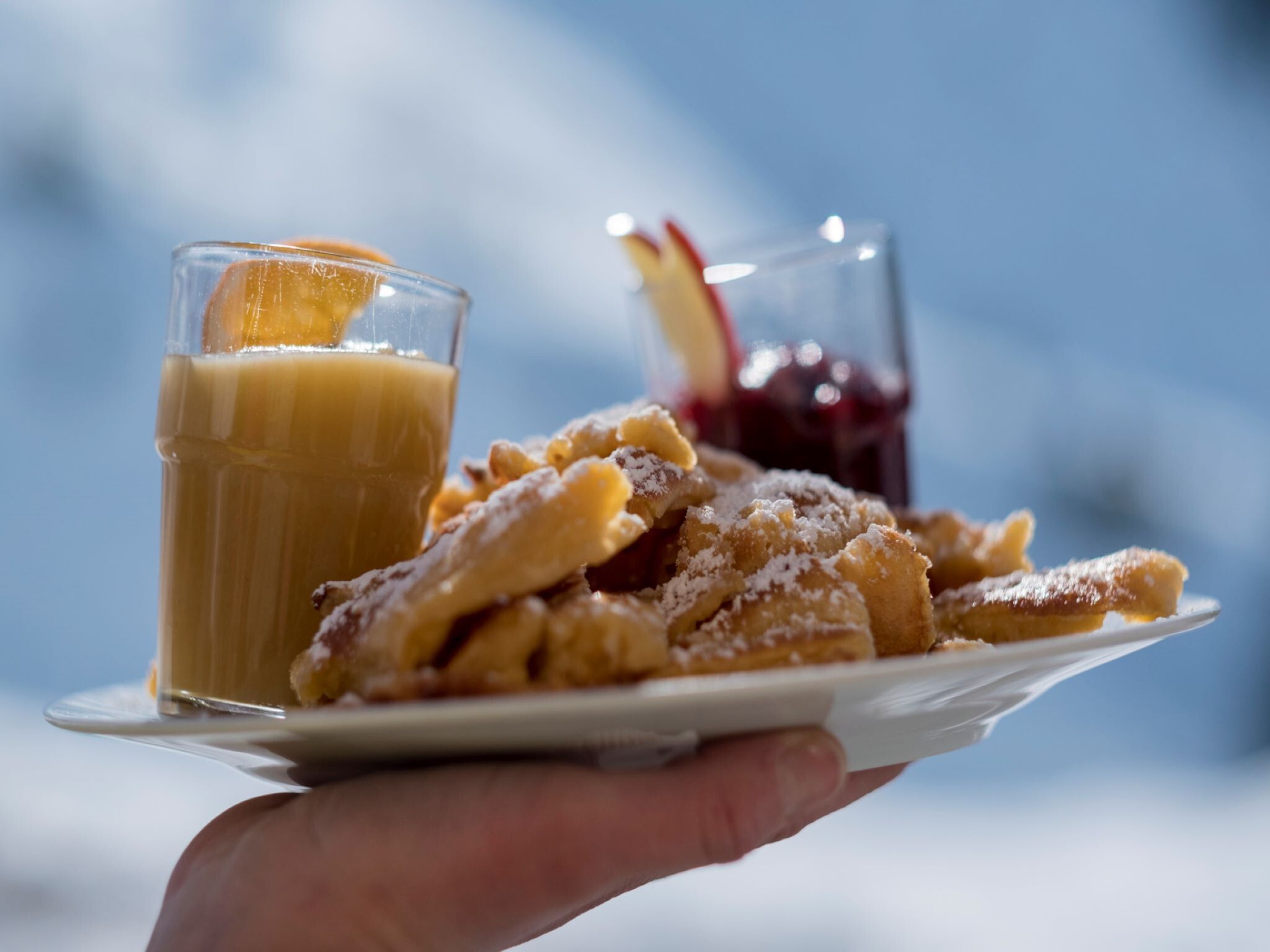
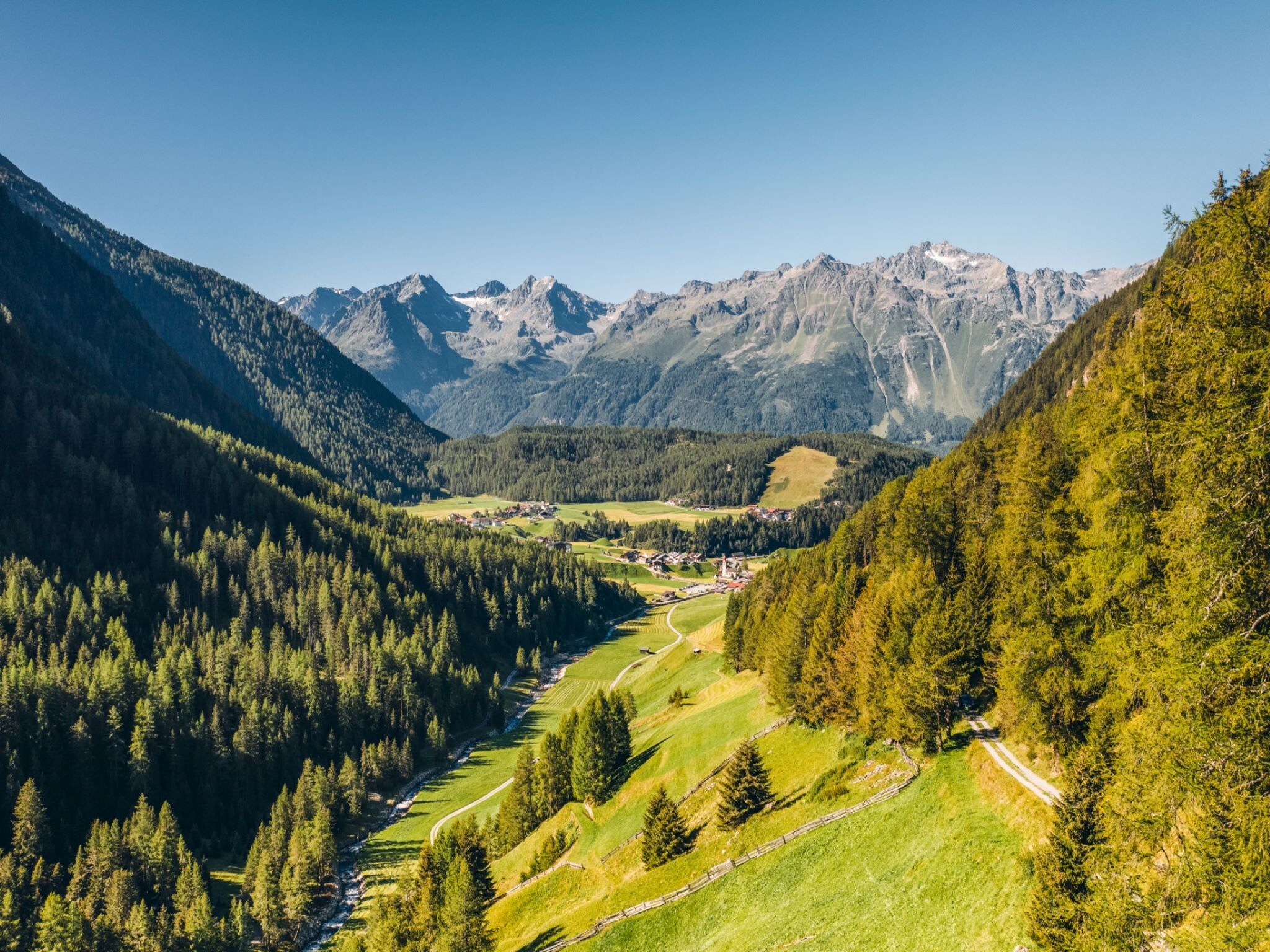
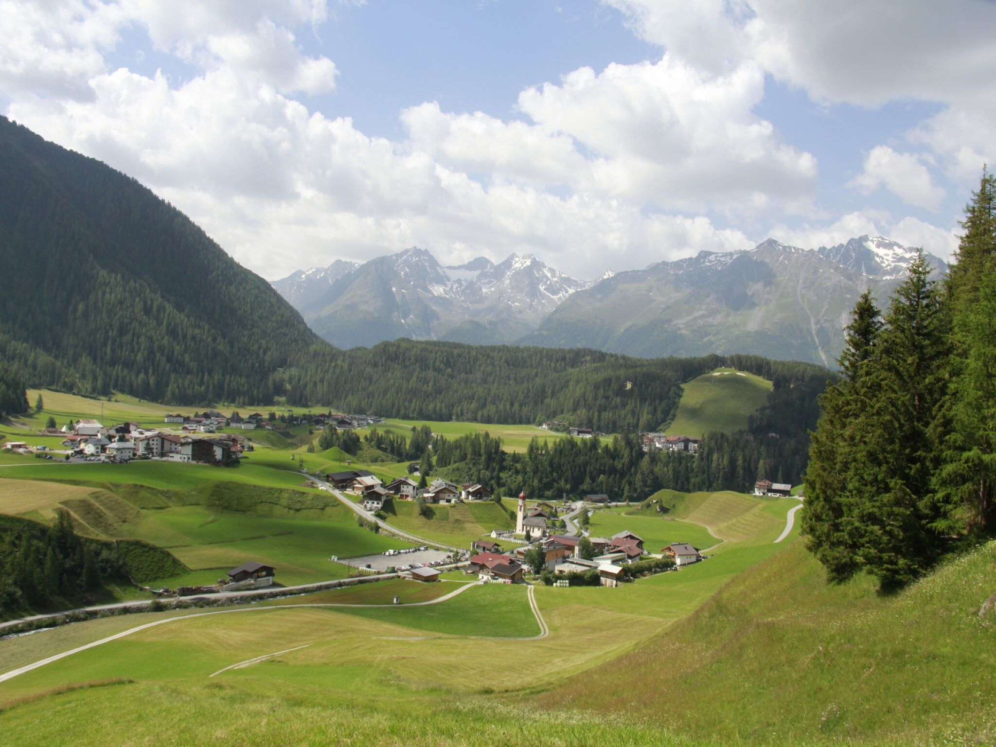
The hike starts in Niederthai at the Sennhof car park. From there, you follow the gently ascending forest road along the Horlachbach into the Horlachtal. After about an hour, you reach Larstigalm. The path is easy to manage for children and elderly people as well as suitable for strollers/buggies. On the cozy sun terrace, you can enjoy Ötztal specialties and delicious sweets, and Larstigalm also has a playground for the little guests. From the starting point in Niederthai or for the return journey from Larstigalm, the two alternative high routes "Grastal and Bergmahderweg" are available, but these are not suitable for strollers/buggies.
Travel comfortably and safely by train to the Ötztal train station. The final stop or exit point is the ÖTZTAL station. Afterwards, you can conveniently and quickly travel through the entire valley to your desired destination by public transport or local taxi companies! The current bus schedule is available at: http://fahrplan.vvt.at
In Niederthai, the following parking options are available to you:


