
Opening hours:Open today
Place:Serfaus
:Alpine pasture / hut / mountain restaurant
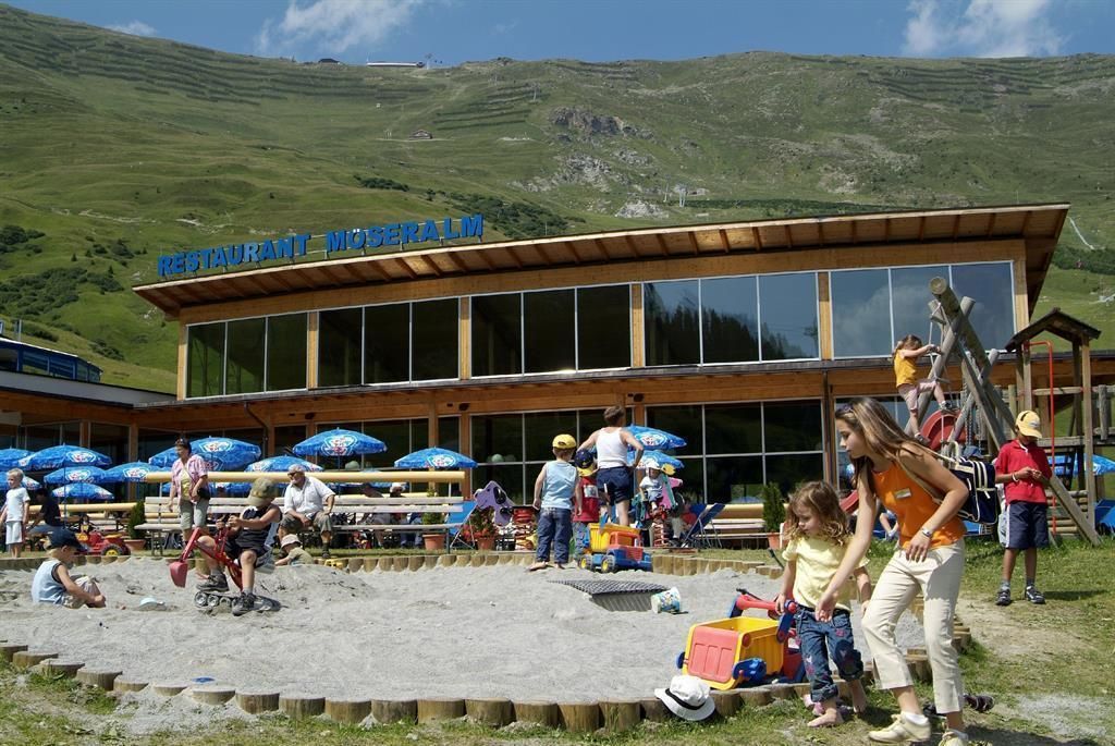
Möseralm from Serfaus
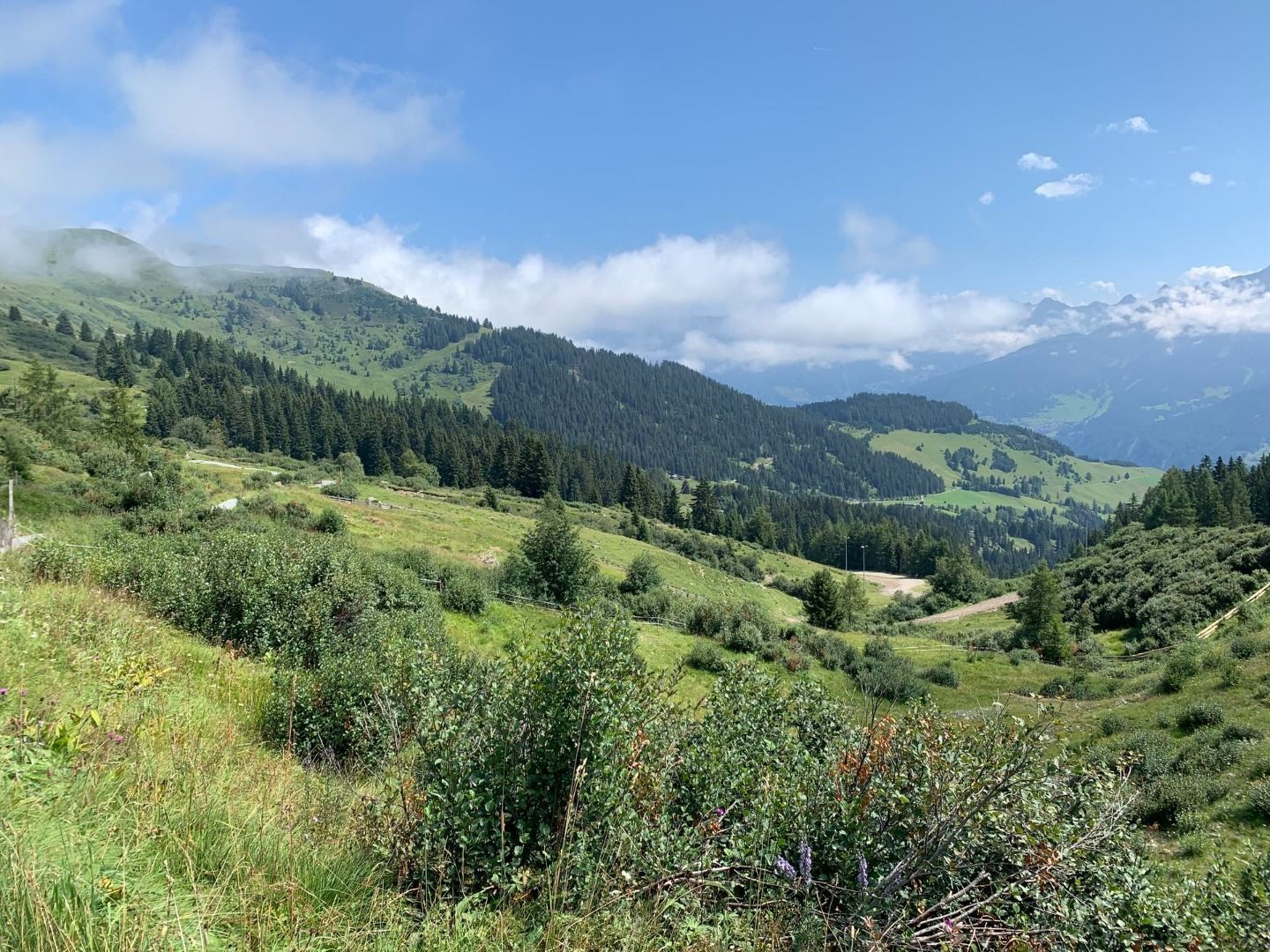
From the Komperdellbahn mid station (S201) on the Quellenweg (Source Trail) to the signpost S248. Turn right onto trail no. 8 and at signpost S251 onto trail no. 11, descending to Möseralm.


 neu.jpg")


")


 (1).jpg")

.jpg")

")


