
Difficulty:easy
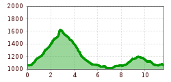
Length:8.9 kmDuration:3:30 hElevation uphill:466 m
Short description:Varied summit circuit with alpine character: From the valley town of Jungholz via steep paths and short climbing sections to two prominent summits with magnificent views. A route for sure-footed mountain enthusiasts with a head for heights – rewarded with an impressive panorama.Quality of experience: ******Recommended season:MayJuneJulyAugustSeptemberOctoberProperties:LoopScenicSummit route
Description:
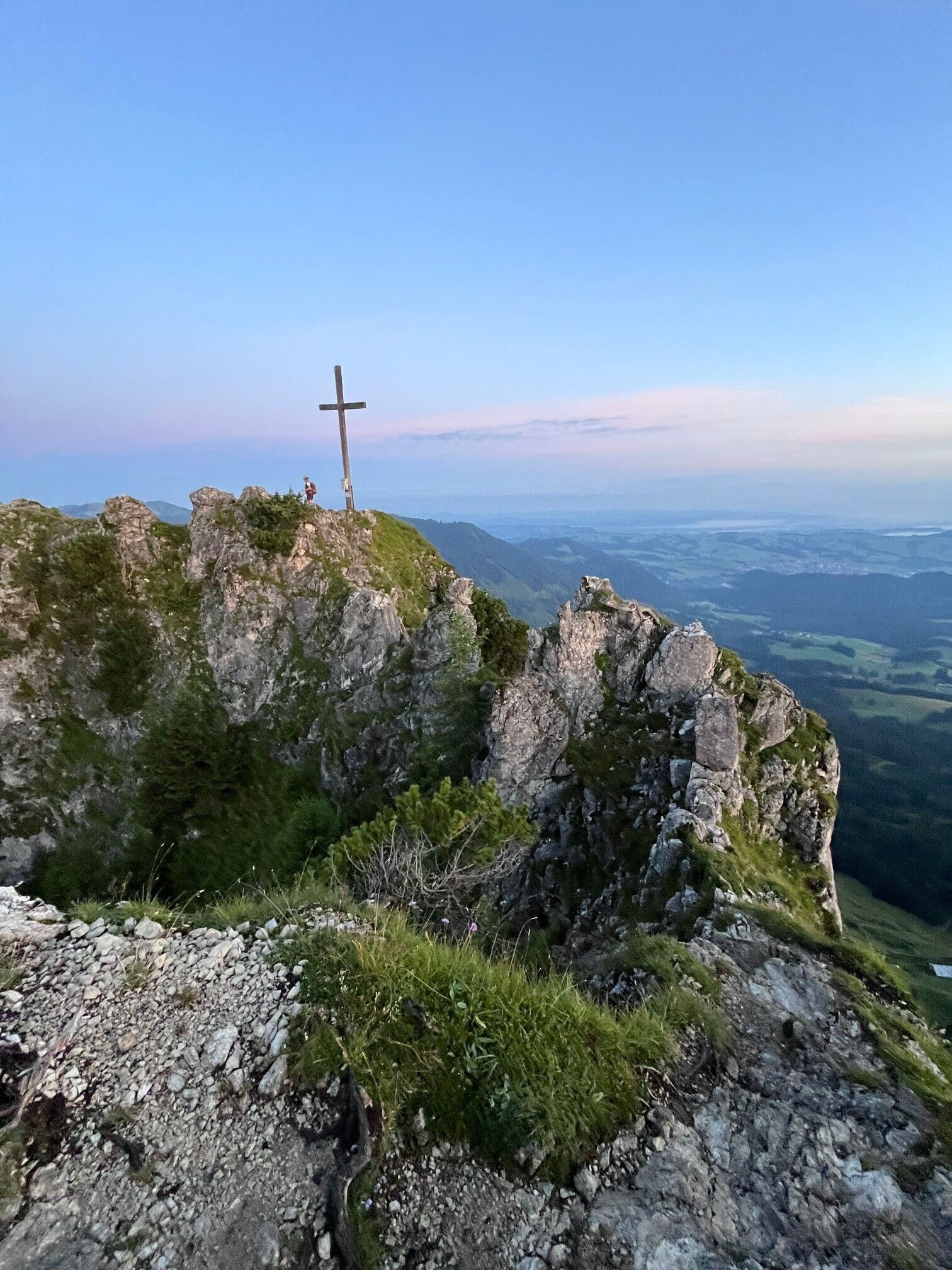
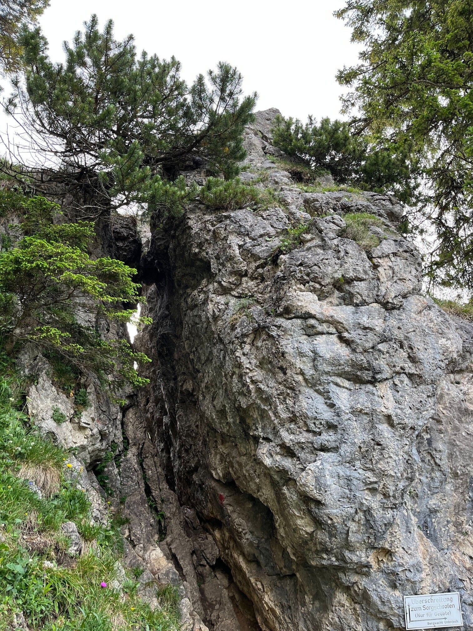
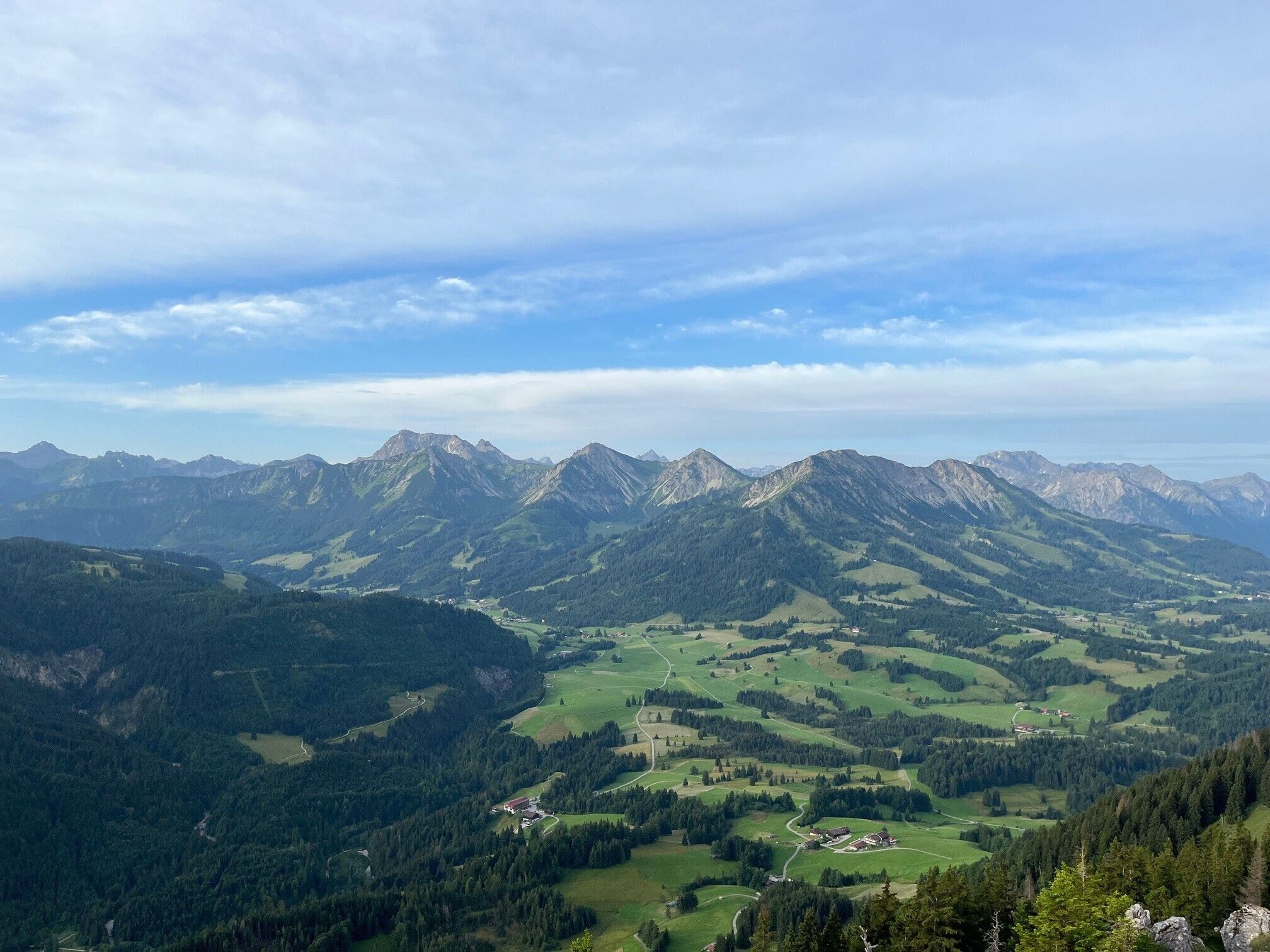
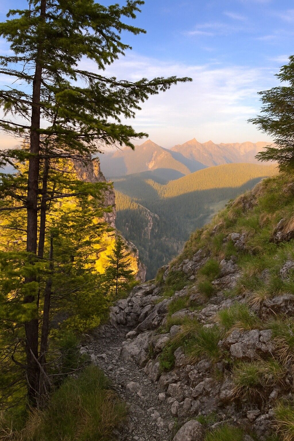
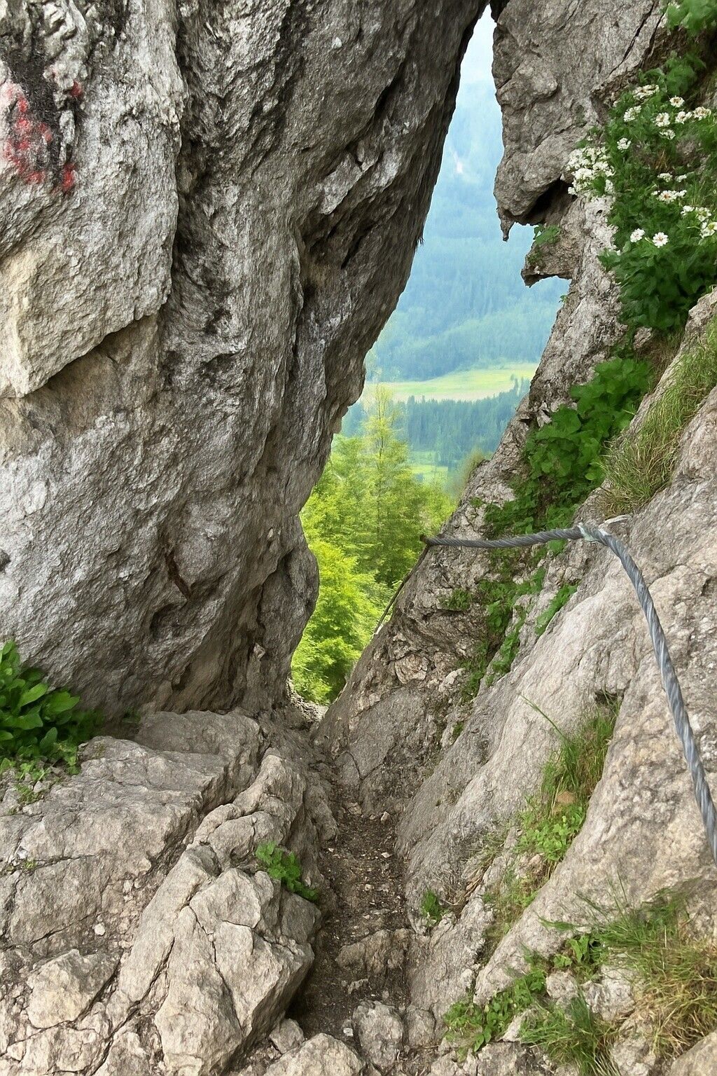
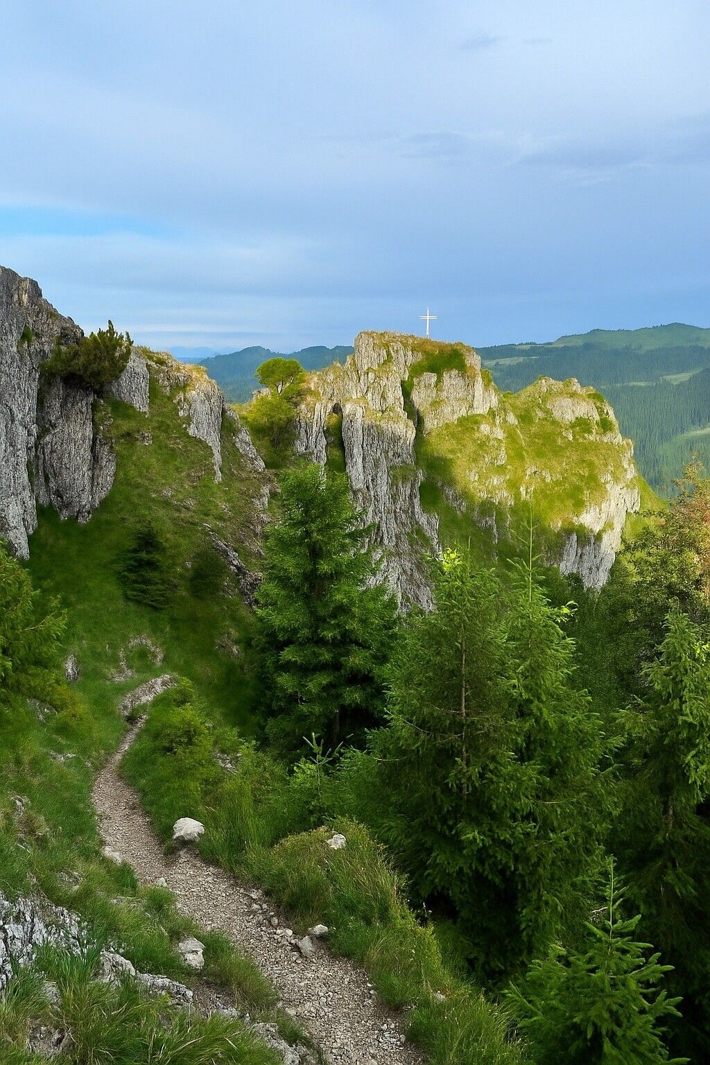
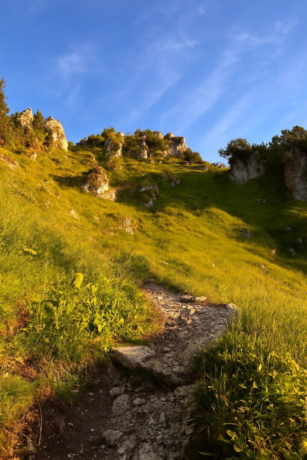
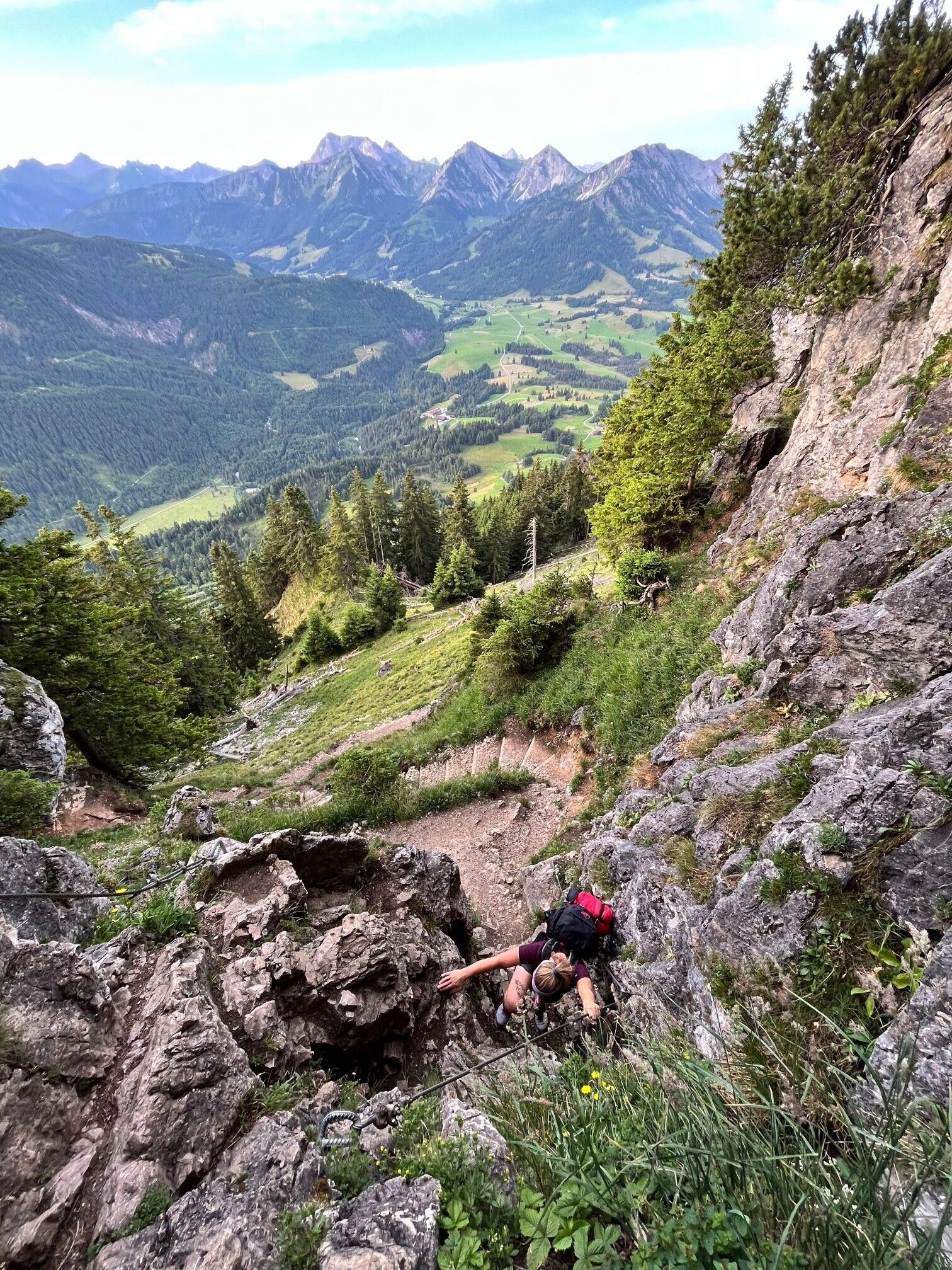
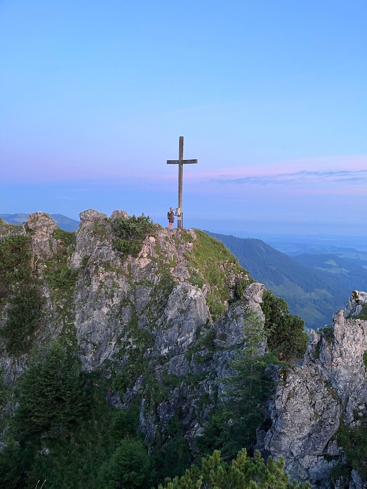
The circular route starts directly in Jungholz and combines everything that makes for an exciting mountain hike: quiet forest paths, scenic ridges, and a touch of via ferrata feeling. The ascent initially leads steeply along a trodden path beside the former ski slope – only above the forest does the route reveal its alpine character. Behind the forest begins the most exciting part of the route: the climb to the Sorgschrofen leads over steep terrain, which is secured with ropes in places and requires sure-footedness. Between the two summits – Sorgschrofen and Zinken – awaits the most challenging section: a narrow ridge with airy passages where you have to support yourself with your hands or scramble repeatedly. The view into the depths accompanies you up to the second summit, the Zinken, from which you enjoy an impressive panorama. The descent takes place on significantly easier paths. Gently sloping paths and forest roads lead over the north side of the two summits back to Unterjoch and finally to the starting point in Jungholz. A route that requires fitness, sure-footedness, and a head for heights – and is rewarded with genuine mountain moments.
Directions:Starting from Schattwald-Rehbach towards Zehrerhöfe and on to Zinken, Path 44, approx. 2 hours. To Sorgschrofen approx. 1/2 hour. Attention!! Sure-footedness and a head for heights are required, especially caution is advised when wet, approx. 1 3/4 hours or descent to Jungholz Path no. 2, approx. 1 1/2 hours. Total walking time approx. 4 1/2 hours
Safety guidelines:Personal mountain sports equipment must be safe and functional and comply with the respective technical standard. Every hiker is recommended to inform themselves about the planned routes in alpine specialist literature or on site.


 neu.jpg")


")


 (1).jpg")

.jpg")

")


