Themed hikes Mühlbachweg (Way of Contemplation) - Alpbach

Alpbach / Kitzbühel Alps
Difficulty ratings: easy
Route length: 2.2 km
Duration: 0:45 h

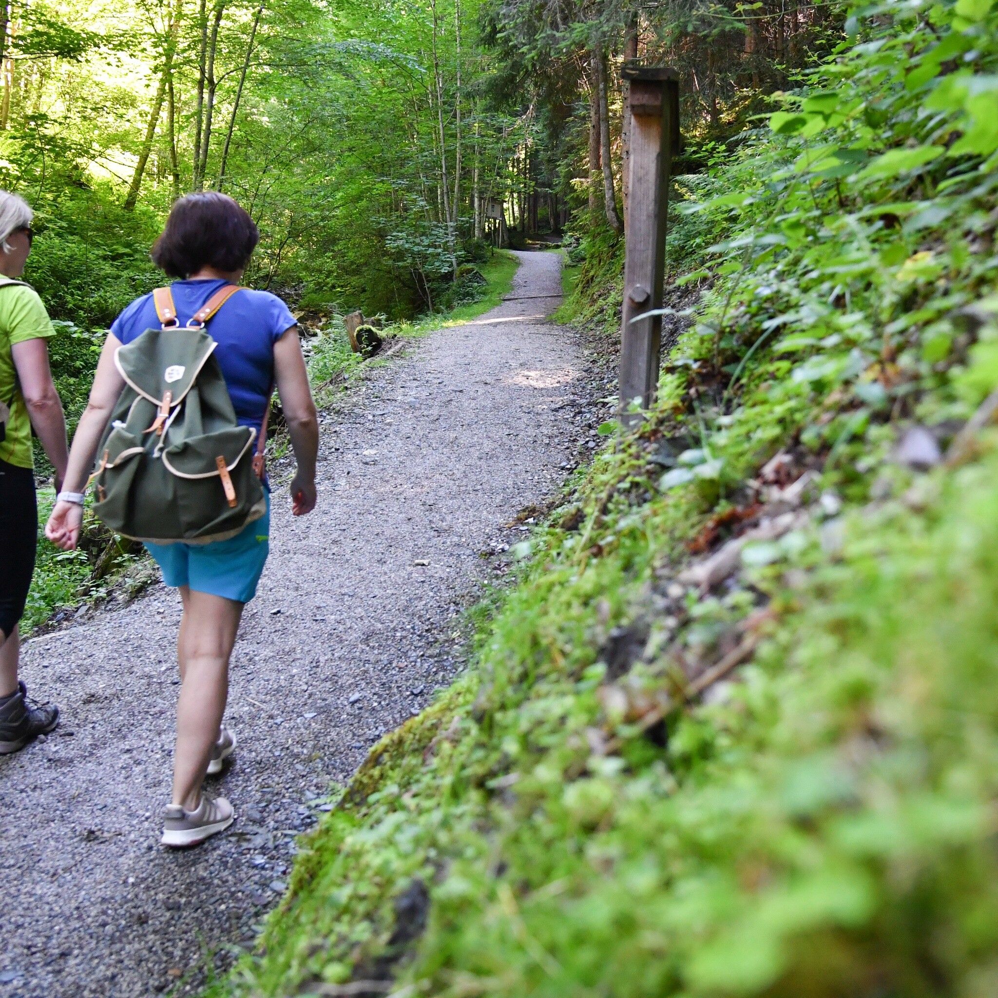
This stroller-friendly circular route, with a pond, fountain, playground, several artworks, and some resting opportunities, is the perfect excursion destination for the whole family. The path is approximately 1.20 m wide along its entire length and is continuously gravelled.
Tour information

  • Requirement: easy
  • Length: 2.2 km
  • Duration: 0:45 h
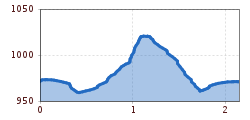
  • Elevation uphill:99 hm
  • Elevation downhill:76 hm
Highest point1,030 m

Starting point

Alpbach Tourist Office

Finishing point

Alpbach Tourist Office
  • Fitness level 1 / 6

Features

  • Circular route
  • Suitable for families
  • suitable for pushchairs

Best time of year

  • January
  • February
  • March
  • April
  • May
  • June
  • July
  • August
  • September
  • October
  • November
  • December

Equipment

sturdy shoes

Source: Alpbachtal Tourismus

Description

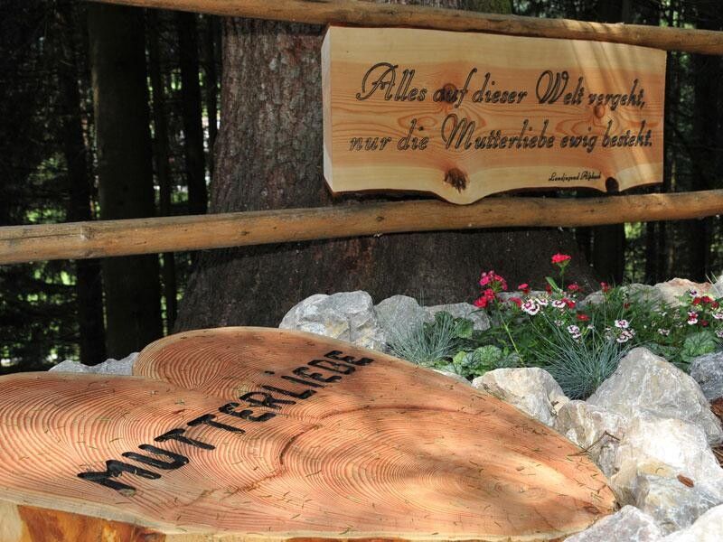
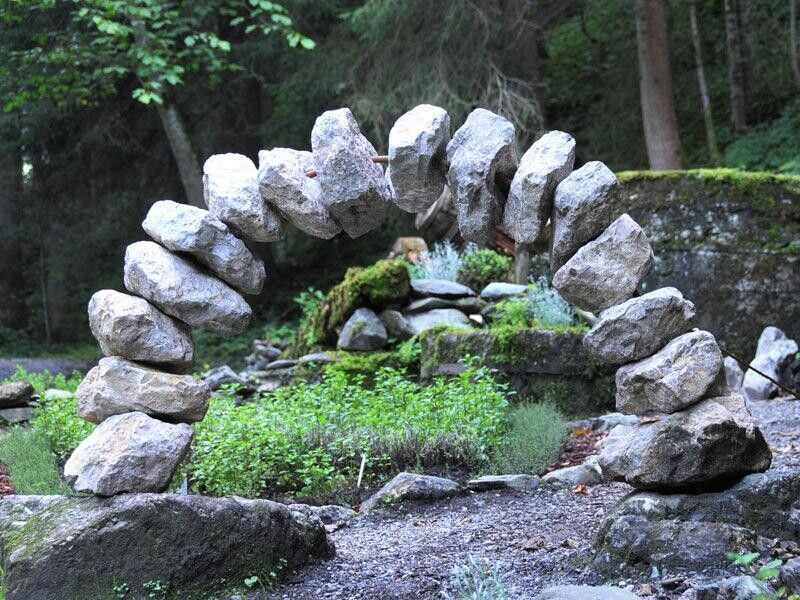
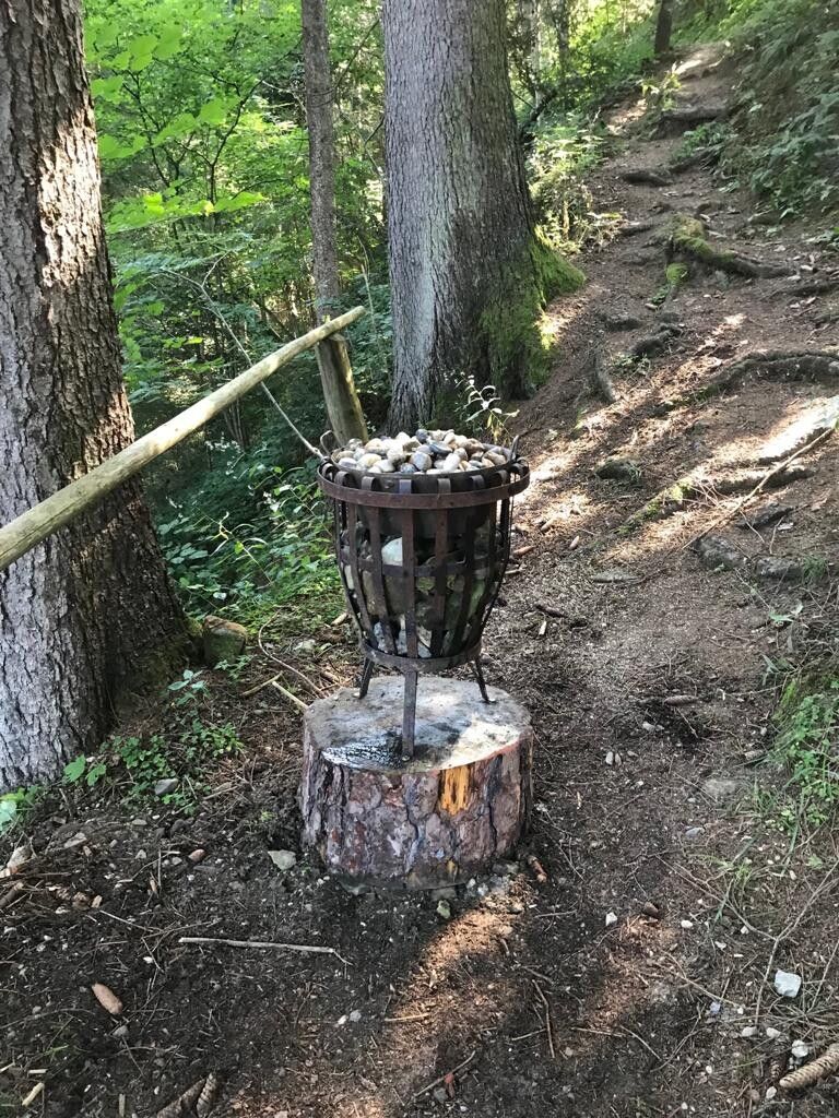
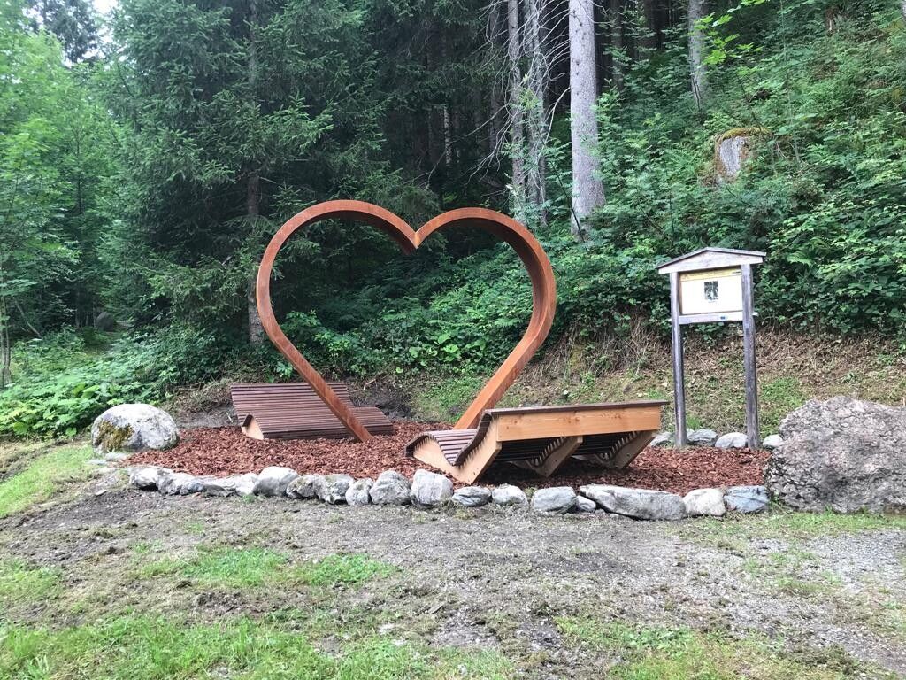
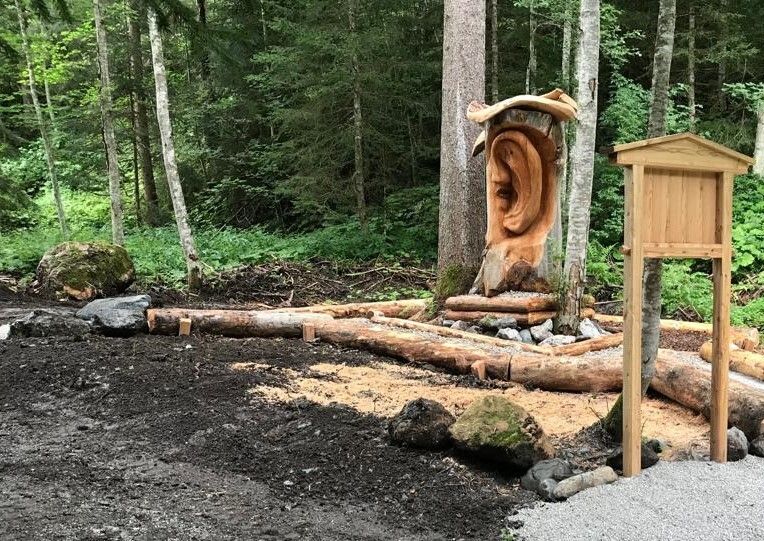
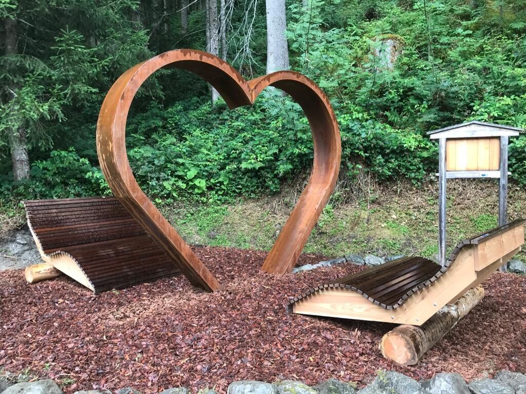
The “Mühlbach-Way of Contemplation” starts at the Mühlbach Bridge, just a few minutes’ walk from the center of Alpbach. First, the path takes us to the herb garden, past a sculpture until after about 300 m we reach a small pond with a watercourse, water mill, Kneipp facility, and a small playground. After a short ascent past the Energy Stone, cairns, and another sculpture, the path descends gently again to the rest and energy place over a 17 m long wooden bridge back to the starting point.


Nearby huts and mountain restaurants

Getting here

  • Parking

    A12, motorway exit Kramsach/Brixlegg, direction Brixlegg, direction Alpbachtal, to Alpbach


    in front of the village center Alpbach

Weather

Today

light rain showers
18°C/9°C
65%0.7l5 km/h

Sat

clear sky
21°C/8°C
0%0l5 km/h

Sun

mainly clear
22°C/9°C
35%0l5 km/h
Go to weather forecast

More tours in the surrounding area

  • Loop tour Juppi Zauberwald

    Difficulty:easy
    Length:2.5 kmDuration:1:00 hElevation uphill:93 m
  • 3-day Family Tour Alpbachtal

    Difficulty:easy
    Length:18.3 kmDuration:7:00 hElevation uphill:998 m
  • Kundler Klamm

    Difficulty:easy
    Length:6.4 kmDuration:2:00 hElevation uphill:116 m
  • Farmkehralm 1.521 m

    Difficulty:medium
    Length:9.3 kmDuration:3:30 hElevation uphill:506 m
  • Day 3: 4 days - 4 summits tour

    Difficulty:medium
    Length:19.3 kmDuration:8:00 hElevation uphill:1,371 m
  • 4 days - 4 summits tour

    Difficulty:medium
    Length:54.4 kmDuration:23:00 hElevation uphill:3,408 m
  • Kaiser Gorge - loop trail

    Difficulty:easy
    Length:4.2 kmDuration:1:00 hElevation uphill:198 m
  • Voldöpper Spitze Loop Hike

    Difficulty:medium
    Length:12.9 kmDuration:5:00 hElevation uphill:988 m
  • Barrier-free path Lake Reintal

    Difficulty:medium
    Length:7.0 kmDuration:1:45 hElevation uphill:15 m
  • Day 1: 4 days - 4 summits tour

    Difficulty:medium
    Length:9.8 kmDuration:5:00 hElevation uphill:984 m
  • 3-peak-tour Kienberg-Plessenberg-Heuberg

    Difficulty:medium
    Length:8.6 kmDuration:4:30 hElevation uphill:779 m
  • Rofan tour - stage 3

    Difficulty:difficult
    Length:11.8 kmDuration:7:30 hElevation uphill:1,150 m
Newsletter

The mountain is calling? So does our newsletter!

In our monthly newsletter we reveal the best holiday tips for Tyrol.