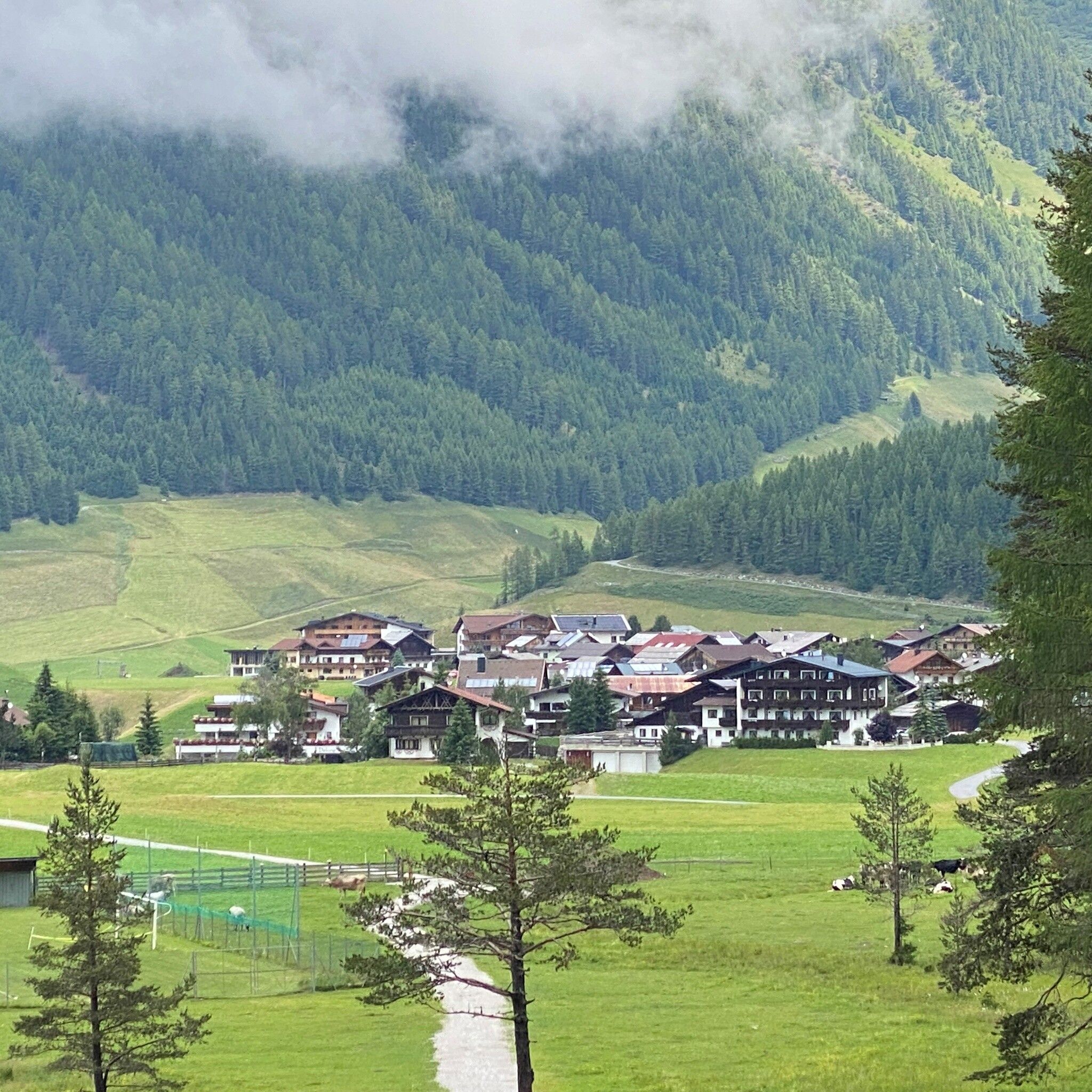
Themed hikes Niederthai Tauferberg Treasure Hunt

Umhausen / Stubaier Alpen
Difficulty ratings: easy
Route length: 3.5 km
Duration: 2:00 h

The circular hiking trail at Tauferberg mostly leads through the forest, where you discover mystical rock crevices and granite blocks. Listen to the birds tweeting and watch for squirrels crossing your path; along the way, you can find typical forest hiding places.

Tour information

  • Requirement: easy
  • Length: 3.5 km
  • Duration: 2:00 h
  • Elevation uphill:131 hm
  • Elevation downhill:131 hm
Highest point1,686 m

Starting point

Nordic Sports Arena parking lot (by the football field)

Finishing point

Nordic Sports Arena parking lot (by the football field)
  • Fitness level 2 / 6

Best time of year

  • January
  • February
  • March
  • April
  • May
  • June
  • July
  • August
  • September
  • October
  • November
  • December

Equipment

Follow the marked and signposted Tauferberg loop; otherwise, you might get lost.

Provisions and drinks, good footwear, mobile phone, and camera.

Source: Ötztal

Description

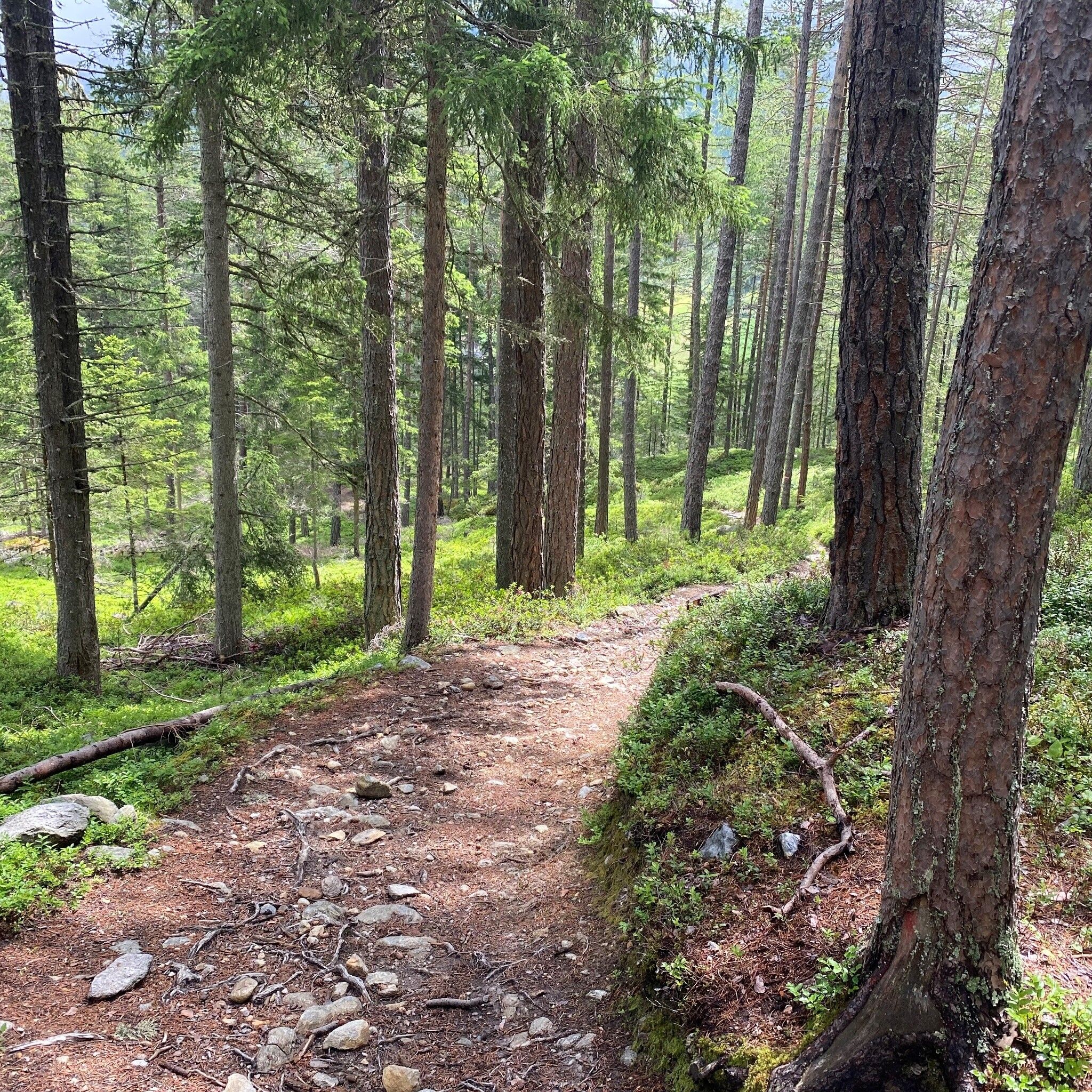
The circular hike begins at the Nordic Sports Arena parking lot in Niederthai by the football field. From there, follow the paved road towards Tellerboden. You hike along a wide forest path through mystical landscapes.

The fresh mountain air and the silence of nature invite you to enjoy a moment of peace and absorb the beauty of the surroundings.

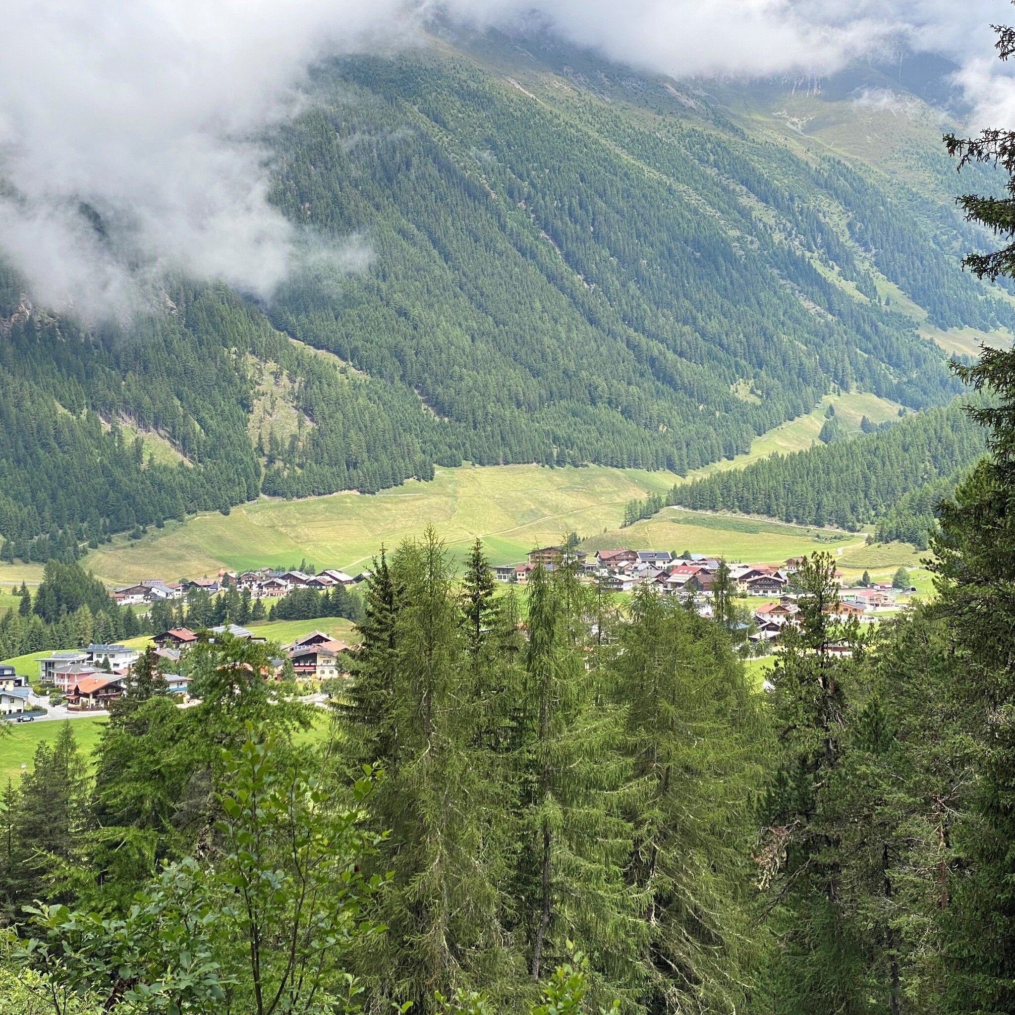
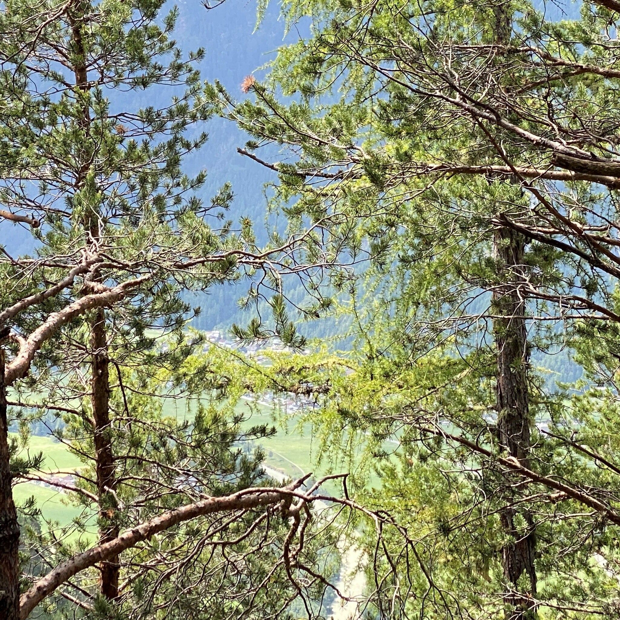
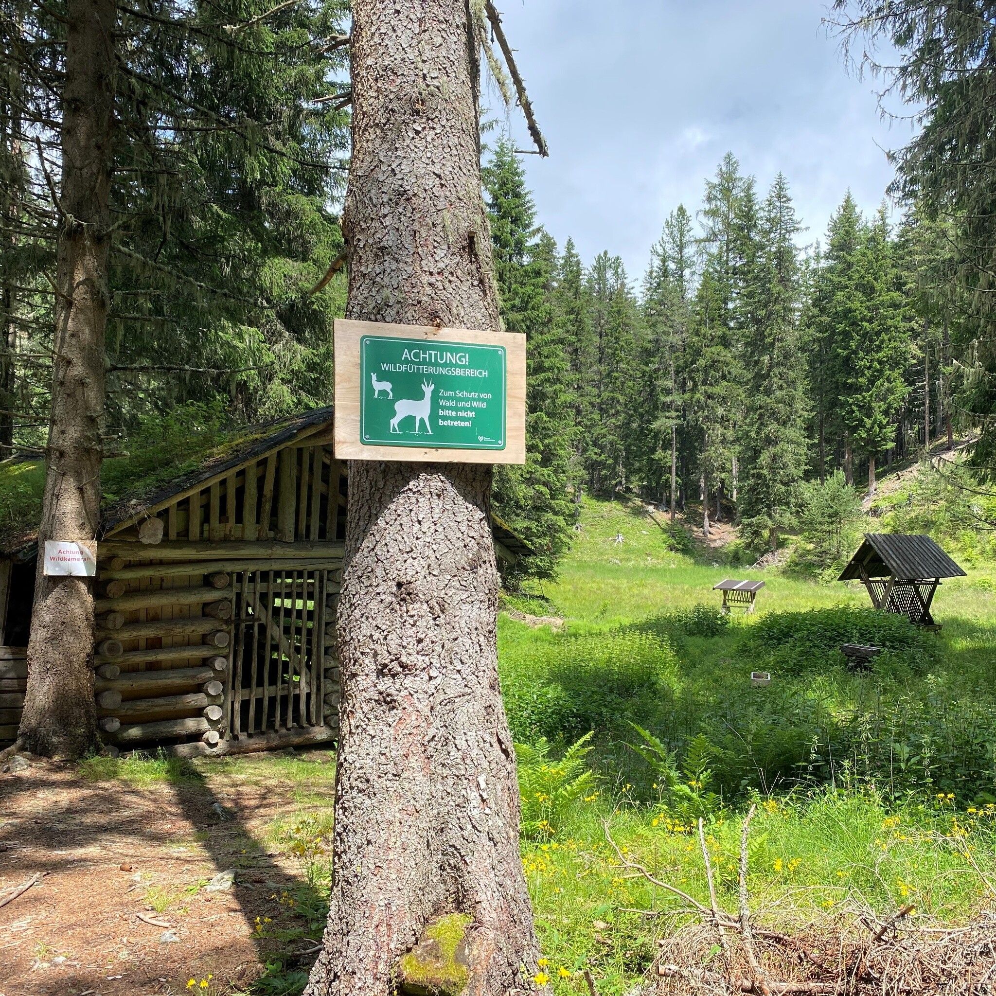
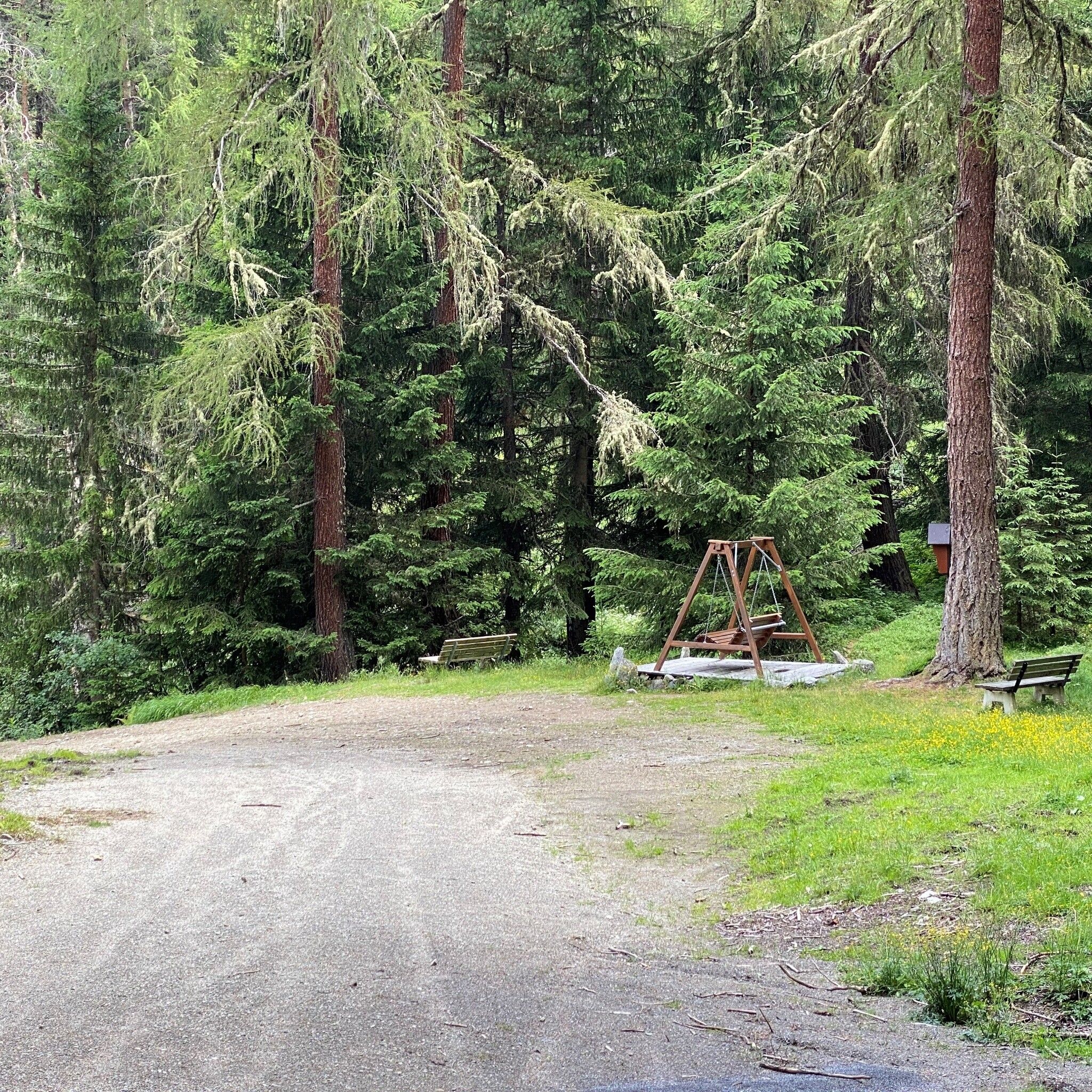
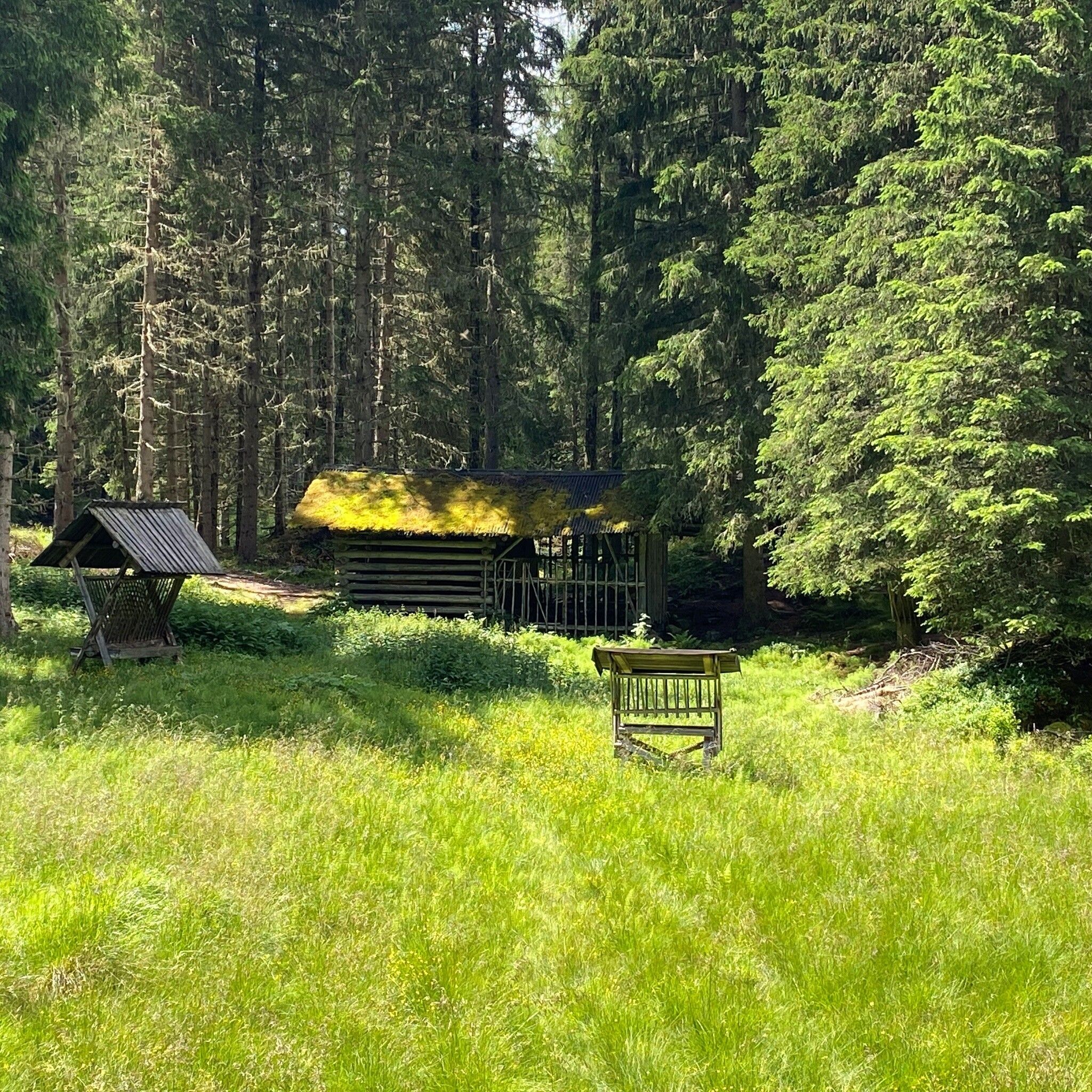
Enjoy the view here and there of the neighboring community. Keep an eye out for the hidden forest man's house and rest at the clearing before reaching an overgrown pond and a feeding station.

How do you find your treasure?

Along the marked route, there are small caches (treasure boxes). In each cache, there is a sheet with letters noted on it. Enter these letters on your treasure map. Whoever has found all caches and can form the code word can pick up a gift with this code word at the Umhausen or Niederthai information office.


Getting here

  • Parking

    Nordic Sports Arena Parking Lot

    The parking lot is payable from 07:00 to 22:00 and managed both in summer and winter.

    • Rates: 2 h € 3.00, 3 h € 4.00, 4 h and more € 5.00
    • Possibility to pay cashless online with the PARKSTER APP
    • Guests with disabilities park for free – please display your ID visibly.

More tours in the surrounding area

  • Ötztal Trek Stage 4

    Difficulty: difficult
    Length: 8.9 km Duration: 4:00 h Elevation uphill: 802 m
  • Ötztal Trek Stage 3

    Difficulty: difficult
    Length: 10.4 km Duration: 4:00 h Elevation uphill: 842 m
  • Ötztal Trek Stage 10

    Difficulty: difficult
    Length: 11.1 km Duration: 4:30 h Elevation uphill: 1,476 m
  • Ötztal Trek Stage 8

    Difficulty: difficult
    Length: 9.3 km Duration: 3:30 h Elevation uphill: 274 m
  • Ötztal Trek

    Length: 246.4 km Duration: 84:25 h Elevation uphill: 18,910 m
  • Ötztal Trek Stage 20

    Opening hours: closed
    Difficulty: medium
    Length: 6.4 km Duration: 3:00 h Elevation uphill: 610 m
  • Ötztal Trek Stage 11

    Difficulty: difficult
    Length: 12.0 km Duration: 5:00 h Elevation uphill: 705 m
  • Ötztal Trek Stage 5

    Difficulty: difficult
    Length: 8.1 km Duration: 3:30 h Elevation uphill: 1,125 m
  • Ötztaler Urweg

    Length: 189.1 km Duration: 72:19 h Elevation uphill: 9,428 m
  • Ötztal Trek Stage 7

    Difficulty: difficult
    Length: 5.3 km Duration: 2:00 h Elevation uphill: 376 m
  • Ötztal Trek Stage 1

    Difficulty: medium
    Length: 18.6 km Duration: 6:30 h Elevation uphill: 1,561 m
  • Ötztal Trek Stage 14

    Difficulty: difficult
    Length: 6.3 km Duration: 3:00 h Elevation uphill: 1,004 m
  • Ötztal Trek Stage 12

    Difficulty: difficult
    Length: 4.8 km Duration: 2:00 h Elevation uphill: 592 m
  • Ötztal Trek Stage 22

    Difficulty: difficult
    Length: 21.5 km Duration: 8:00 h Elevation uphill: 647 m
  • Ötztal Trek Stage 21

    Difficulty: difficult
    Length: 9.4 km Duration: 4:30 h Elevation uphill: 1,270 m
  • Ötztal Trek Stage 6

    Difficulty: difficult
    Length: 7.6 km Duration: 3:30 h Elevation uphill: 640 m
  • Ötztal Trek Stage 17

    Difficulty: difficult
    Length: 16.4 km Duration: 6:00 h Elevation uphill: 1,080 m
  • Ötztal Trek Stage 16

    Difficulty: difficult
    Length: 6.9 km Duration: 2:30 h Elevation uphill: 358 m
  • Vent - Breslauer Hütte - Vernagthütte

    Difficulty: medium
    Length: 10.4 km Duration: 4:00 h Elevation uphill: 1,203 m
  • Mountain peak Rosskopf

    Difficulty: medium
    Length: 2.0 km Duration: 2:00 h Elevation uphill: 379 m
Newsletter

The mountain is calling? So does our newsletter!

In our monthly newsletter we reveal the best holiday tips for Tyrol.