
Opening hours:Today closed
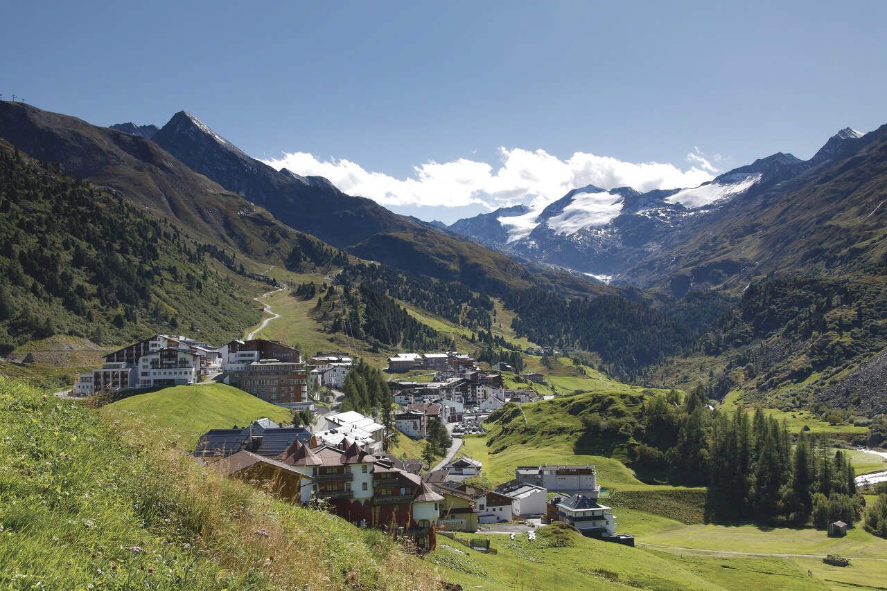
Place:Obergurgl
:Restaurant
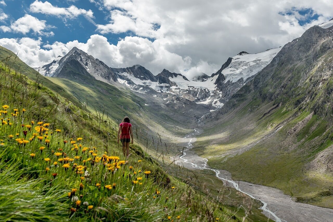
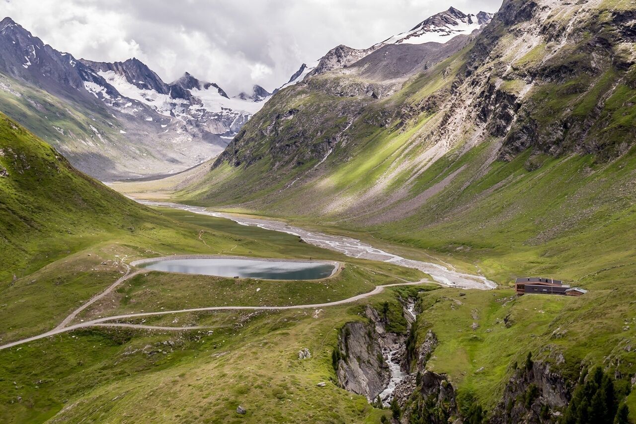
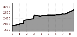
OBERGURGL -> Hohe Mut -> ROTMOOSFERNER
For climbers who are free from vertigo, sure-footed, and highly experienced in high alpine terrain; excellent physical condition, comprehensive mountain experience, alpine climbing equipment, securing and orientation tools, good weather conditions recommended. Please check the current weather report at: www.oetztal.com/de/sommer.html
Appropriate equipment such as breathable and weather-appropriate outdoor clothing, ankle-high hiking boots, wind, rain and sun protection, a hat, and possibly gloves are required for all hikes and routes. It is necessary to carry a first aid kit, a mobile phone, and possibly a hiking map, as well as sufficient provisions for hikes without the possibility of a stop.
As an alternative to the Rotmoosferner, the Wasserläufer hike is offered as a guided tour. Upon reaching the Rotmoosferner, the hike continues through the Rotmoostal to the Schönwieshütte and back to Obergurgl. Naturally, it is also possible without a guide.
Travel comfortably and safely by train to the Ötztal train station. The final stop or exit point is ÖTZTAL station. Afterwards, you can conveniently and quickly travel through the entire valley to your desired destination by public transport or local taxi companies! The current bus schedule is available at: http://fahrplan.vvt.at.
The following parking options are available in Gurgl:


")


