
Opening hours:Open today
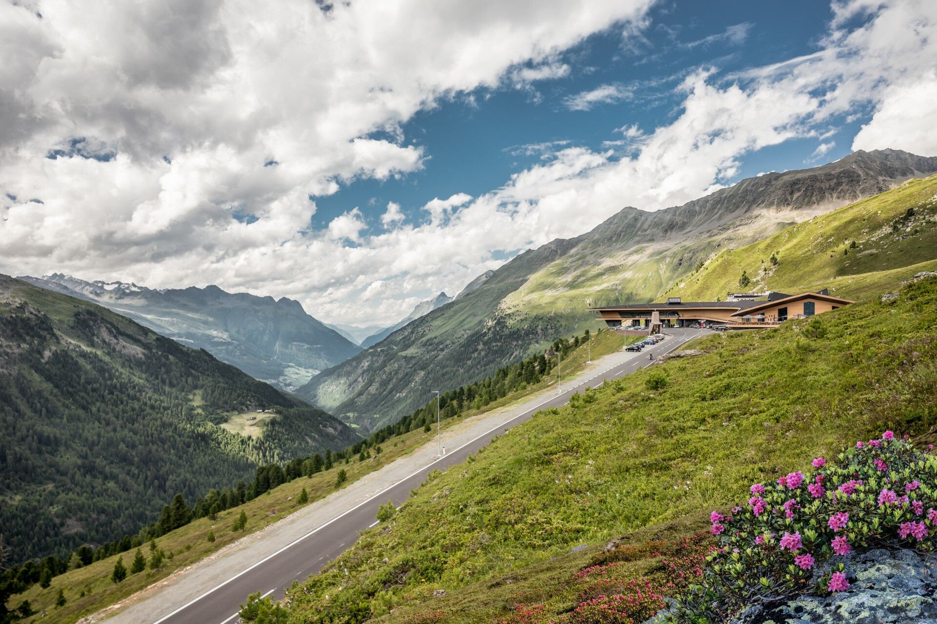
Place:Hochgurgl
:Restaurant
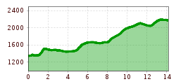
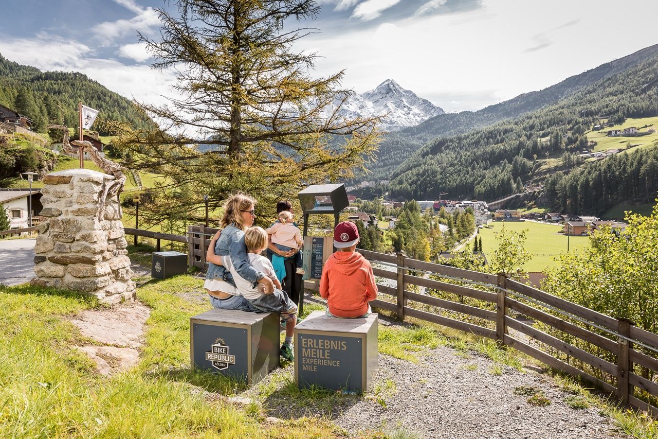
STAGE 5: SÖLDEN –> Mooserstegle –> Kühtrainschlucht –> Zwieselstein –> Sahne Stüberl -> HOCHGURGL CROSSPOINT

Moderately difficult mountain trail; suitable for sure-footed and experienced mountain hikers; good physical condition, mountain experience, and mountain equipment (see equipment section) necessary. Please observe the current weather report.
Appropriate equipment such as breathable and weather-appropriate outdoor clothing is required for all hikes and routes. Carrying a first aid kit, a mobile phone, and possibly a hiking map, as well as sufficient provisions when hiking without the option to stop for food, is necessary.
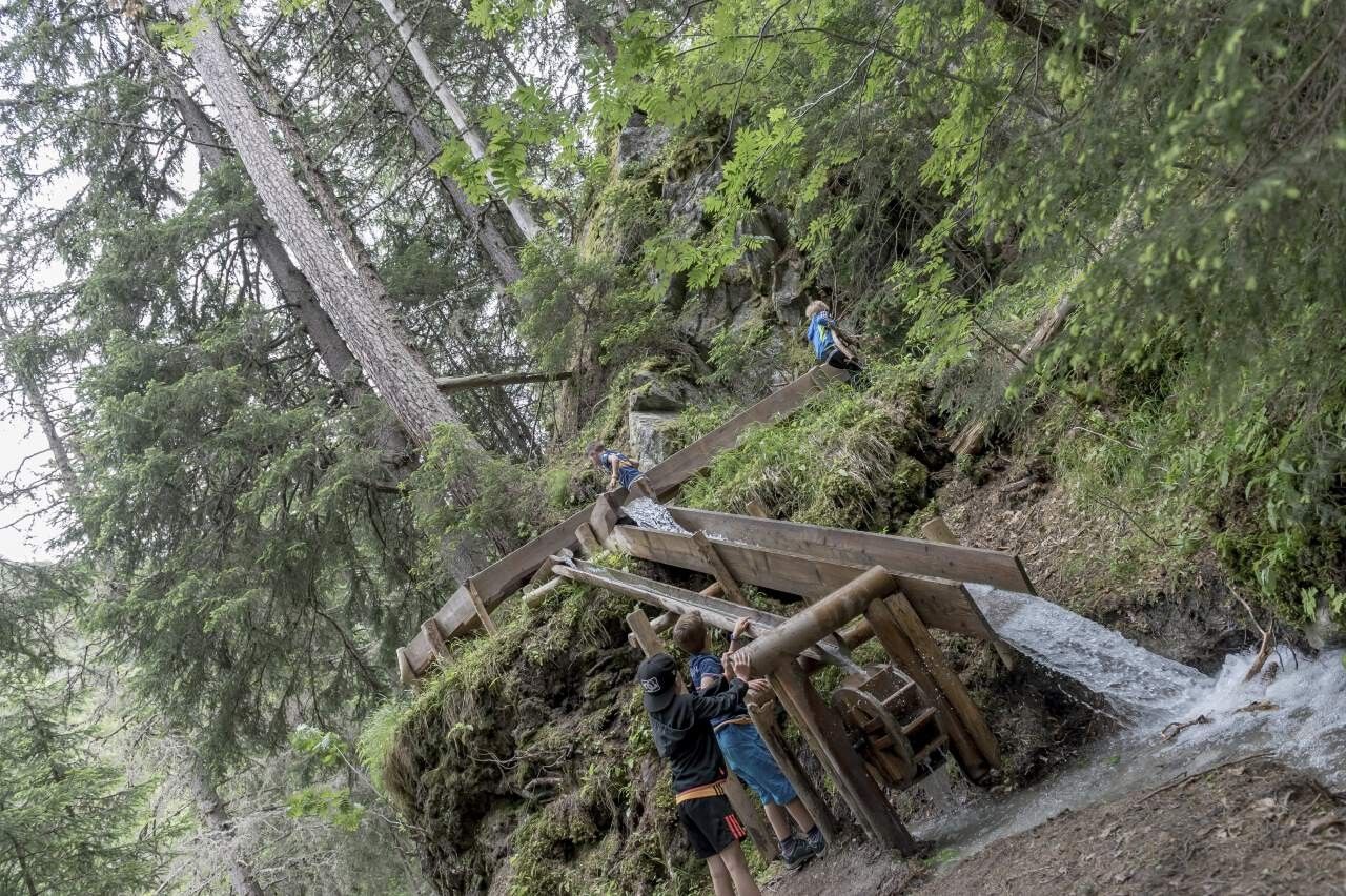
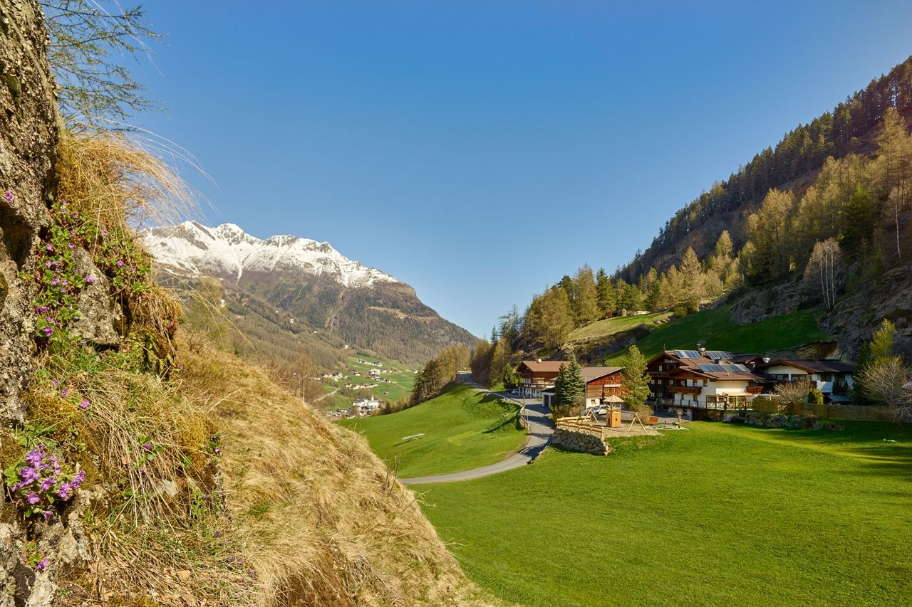
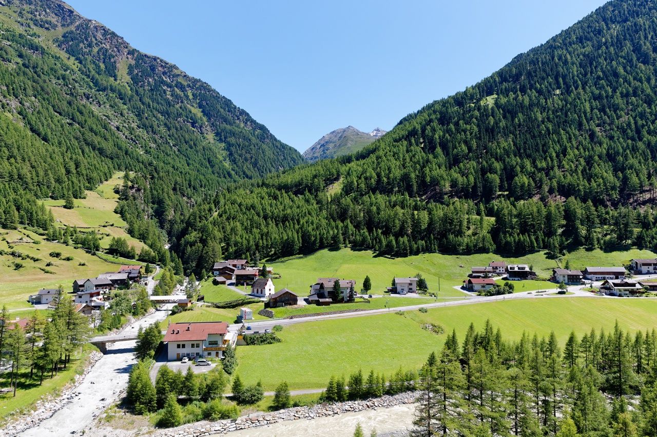
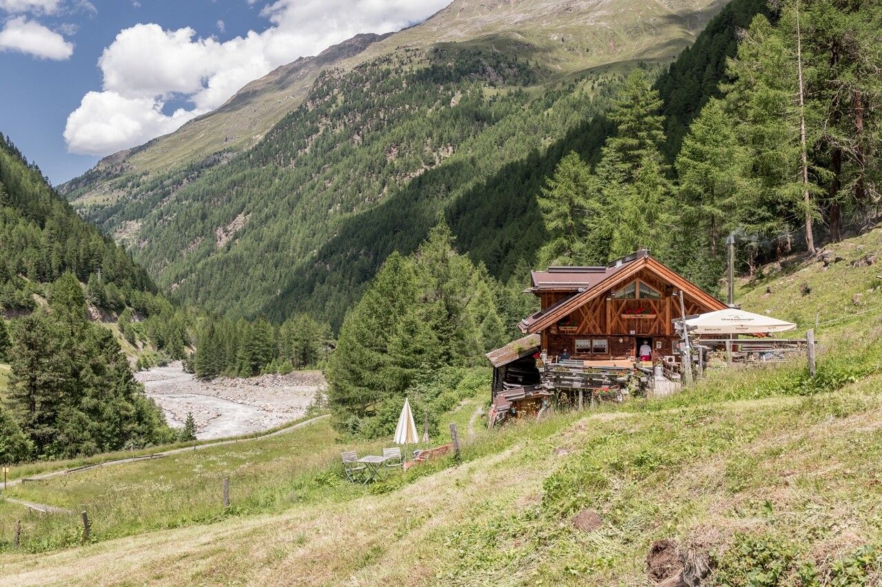
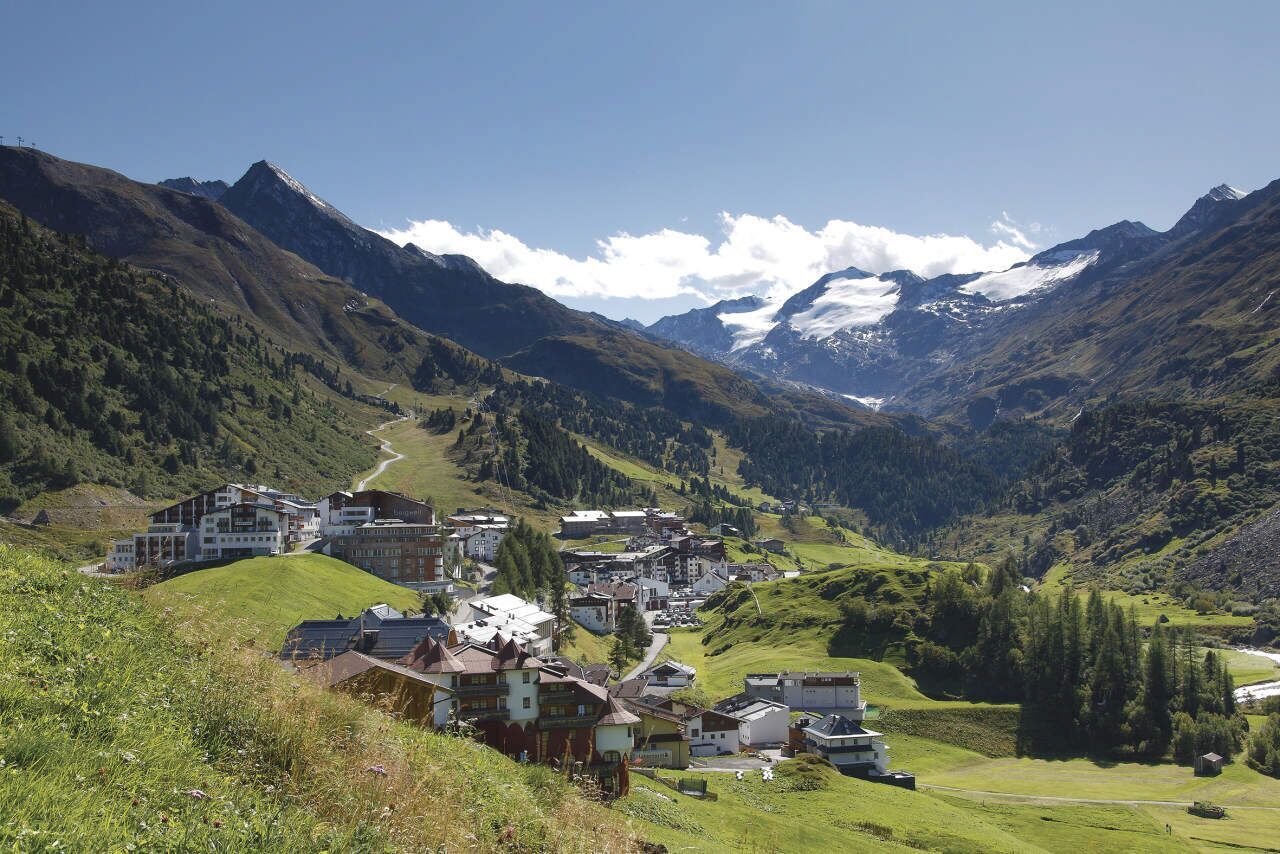
TWO BLOOMING SKI RESORTS IN SUMMERThe quiet and loud Sölden, undeniably the pioneering achievement the town has made in skiing. Action-packed James Bond film location, meeting place of the greats in skiing, or the open-air drama Hannibal, these highlights and many more annually attract young and old alike. And then Sölden's quiet side, pure origin in the Windach Valley, energy and strength seekers find their source here year-round. Besides impressive mountain landscapes, you find the most lively and current element in the Ötztal: water. Visiting the Mooserstegle Waalweg promises a glimpse into the past, where waals guided precious water into dry areas of the valley village for agriculture!Further down the valley where the Ötztal diverges, you pass a small village whose name already includes the geological location. At Zwieselstein, two powerful mountain rivers converge, the Venter and the Gurgler Ache, here forming the Ötztaler Ache. The path leads us to the Gurgler valley, up to 1,930m to the glacier and ski resort of Obergurgl.
Travel comfortably and safely by train to the Ötztal station. The final stop or exit point is the ÖTZTAL station. Afterwards, travel conveniently and quickly by public transit or local taxi companies through the entire valley to your desired destination! The current bus schedule is available at: http://fahrplan.vvt.at
The following parking options are available in Sölden:
All parking spaces are subject to a fee.
For parking over several days (e.g., hut tour):


