

Opening hours:Open today
Place:Längenfeld
:Alpine pasture / hut / mountain restaurant
STAGE 3:NIEDERTHAI –> Hemrach Alm –> Dorf –> Ötztaler Ache –> Fischbach -> LÄNGENFELD

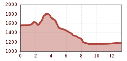
Moderately difficult mountain path; suitable for sure-footed and experienced mountain hikers; good physical condition, mountain experience and mountain equipment (see Equipment) necessary. Please observe the current weather report.
Appropriate equipment such as breathable and weather-appropriate outdoor clothing is required for all hikes and routes. Carrying a first aid kit, a mobile phone and possibly a hiking map, as well as sufficient provisions when hiking without the possibility of stopping at an inn, is necessary.
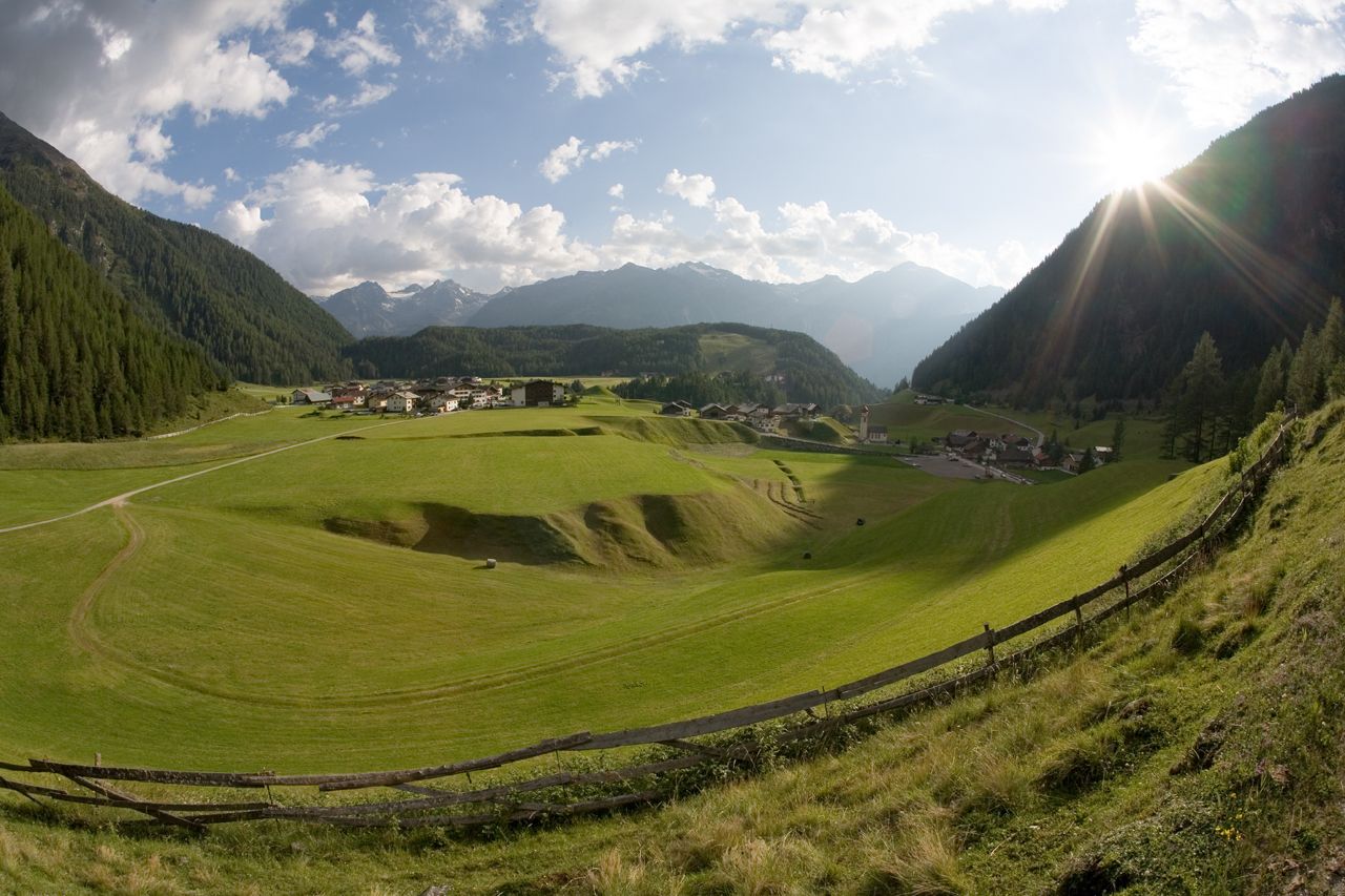
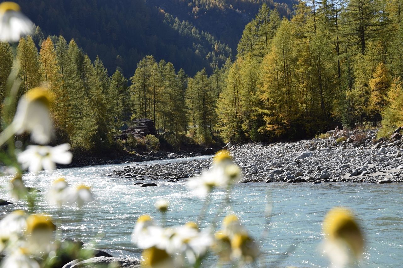
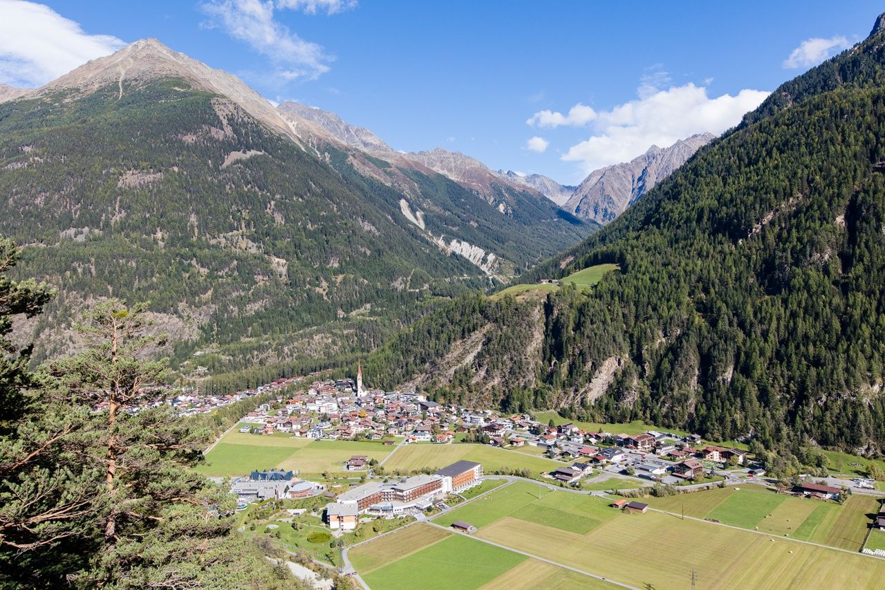
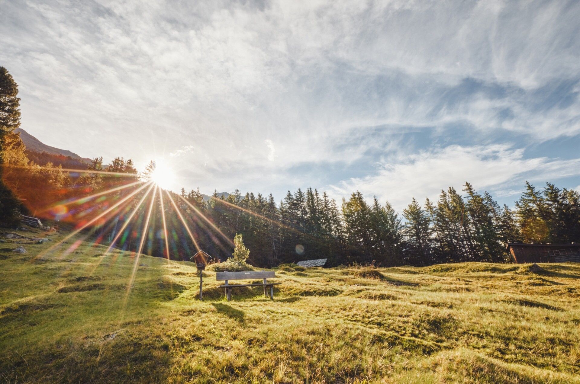
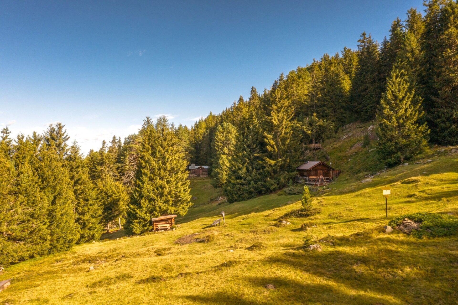
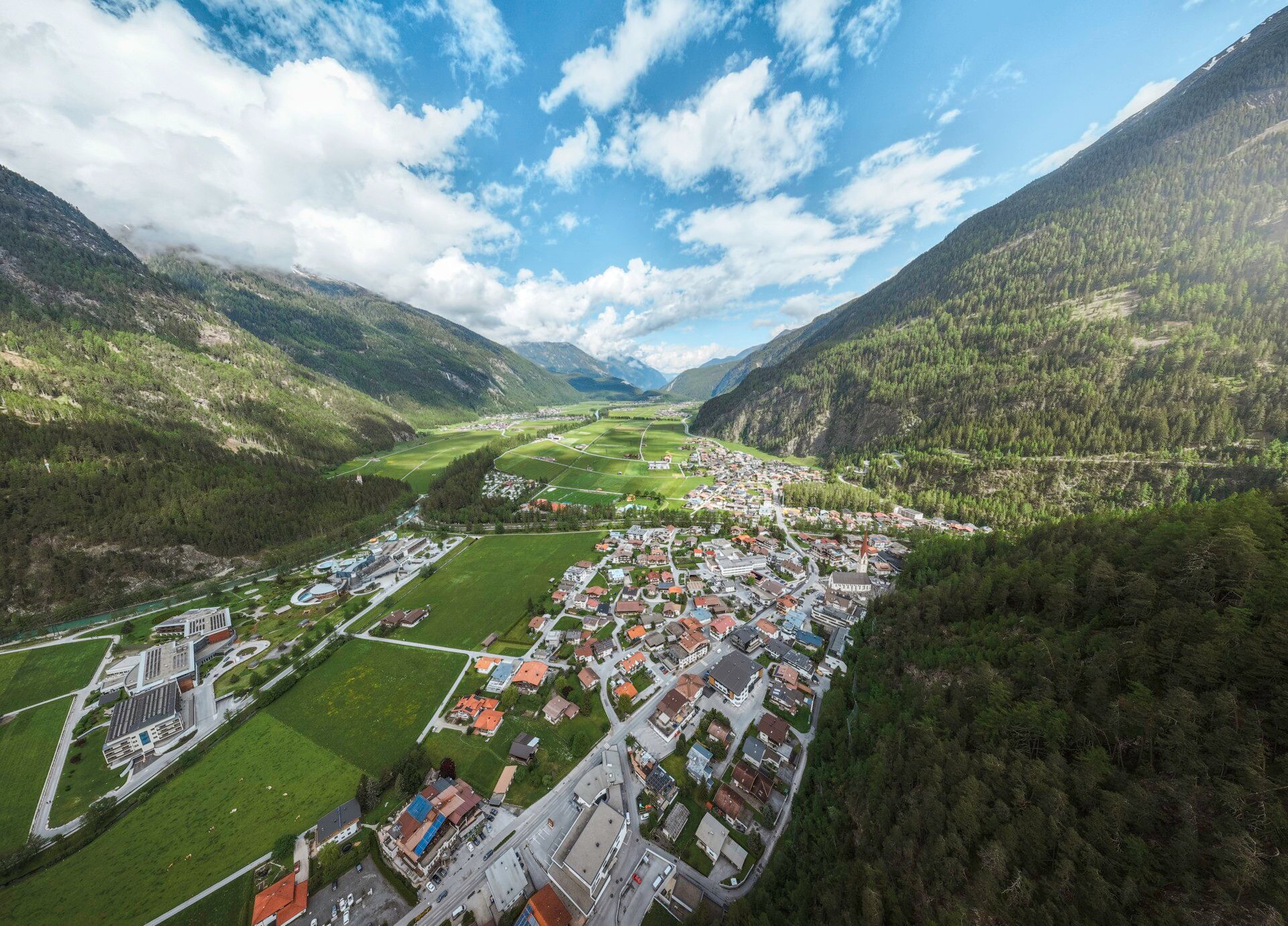
PICTURE-BOOK ALMSPure idyll can be found in the small mountain village of Niederthai; a little further it becomes even more romantic. A small detour to the lovely Alm, the Wiesle, is worth it: in the middle of the forest, a fragrant alpine meadow opens up, in which a small chapel and next to it the Wiesle rest. As in former times, as if time stood still up here. Also on the Hemrachalms, the next intermediate destination, the originality can truly be sensed.The place name already reveals the landscape setting, from the long field. Down in the valley, you can see that Längenfeld was underwater long ago and appeared as a large lake instead of the long, wide fields. Shortly before the destination, you can still observe the wild wave dance of the Fischbach, the largest tributary of the Ötztaler Ache.
Travel comfortably and safely to the Ötztal train station by train. The final stop or exit point is the ÖTZTAL station. Afterwards, you can conveniently and quickly travel through the whole valley to your desired destination by public transport or local taxi companies.
The current bus timetable is available at: fahrplan.vvt.at
The car journey to the ÖTZTAL. Located in Tyrol, the Ötztal branches off southwards as the longest side valley of the Eastern Alps. The car trip takes travelers through the Inn Valley to the entrance of the valley and continues along the Ötztal. Besides the toll motorway, country roads can also be used. You can quickly and conveniently plan your trip with the route planner: To the route planner: www.google.at/maps
The following parking options are available in Niederthai:
- Sennhof parking lot | paid | multi-day tickets possible
- Village hamlet Lehen (football pitch) | paid | only single-day tickets possible


