
Opening hours:Open today
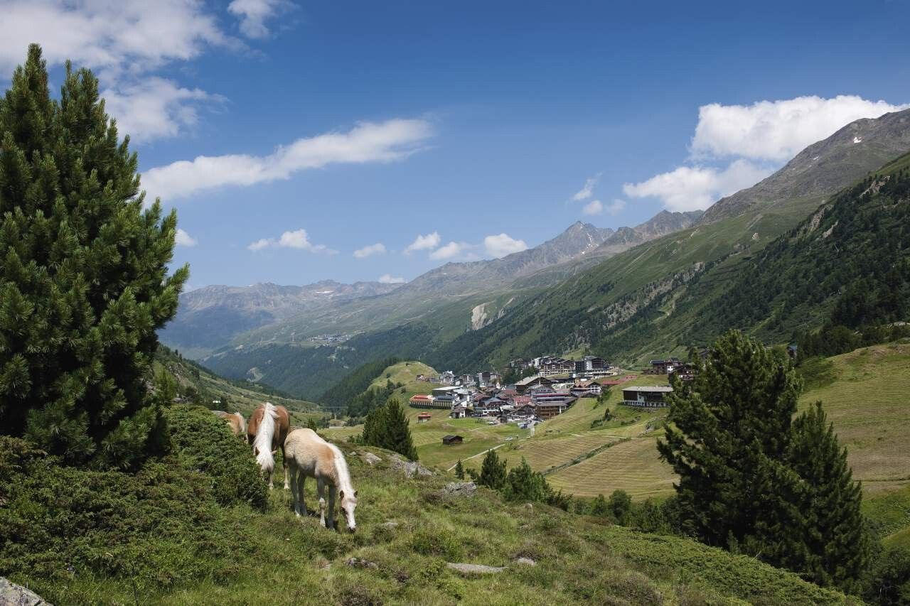
Place:Obergurgl
:Alpine pasture / hut / mountain restaurant
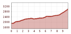
OBERGURGL -> Langtalereckhütte -> SEELENFERNER
Wearing hiking equipment such as breathable and weather-appropriate outdoor clothing, ankle-high mountain boots, wind, rain and sun protection, a hat, and possibly gloves is recommended! It is also important to bring sufficient provisions as well as a first aid kit, a mobile phone, and possibly a hiking map.
From Obergurgl to the Langtalereckhütte. From there, turning left downstream on the steeper, upper path to the leveling of the "Vorderen Ackerlen" and further through the cirque to the end moraines of the middle Seelenferner with a stamp station.
Travel comfortably and safely by train to the Ötztal train station. The final station or exit point is the ÖTZTAL station. Afterwards, you can conveniently and quickly continue through the entire valley to your desired destination by public transport or local taxi services! The current bus schedule is available at: http://fahrplan.vvt.at
The following parking options are available in Obergurgl-Hochgurgl:


 neu.jpg")


")


 (1).jpg")

.jpg")

")


