
Opening hours:Open today
Place:Vent
:Alpine pasture / hut / mountain restaurant
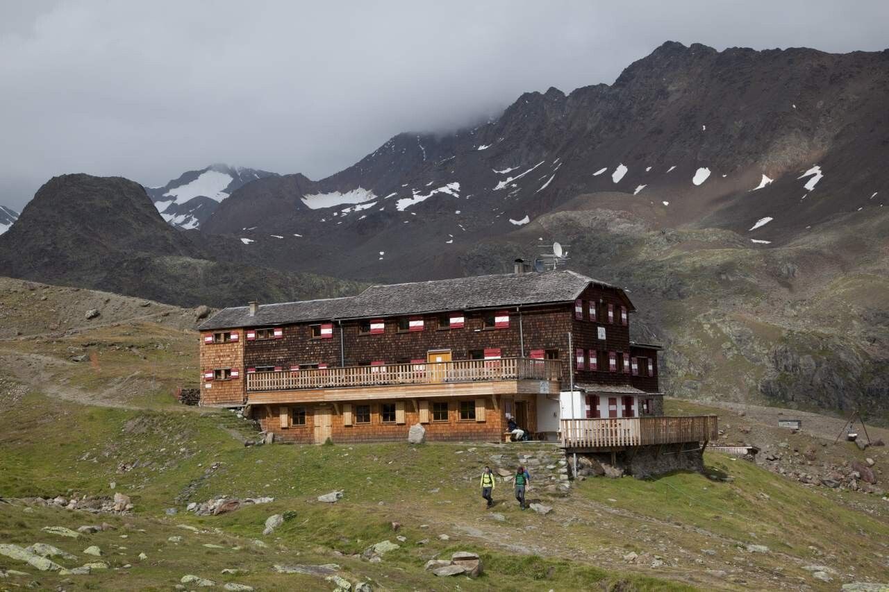
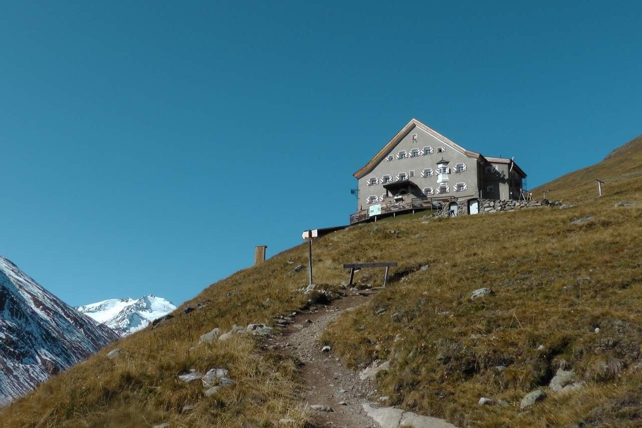
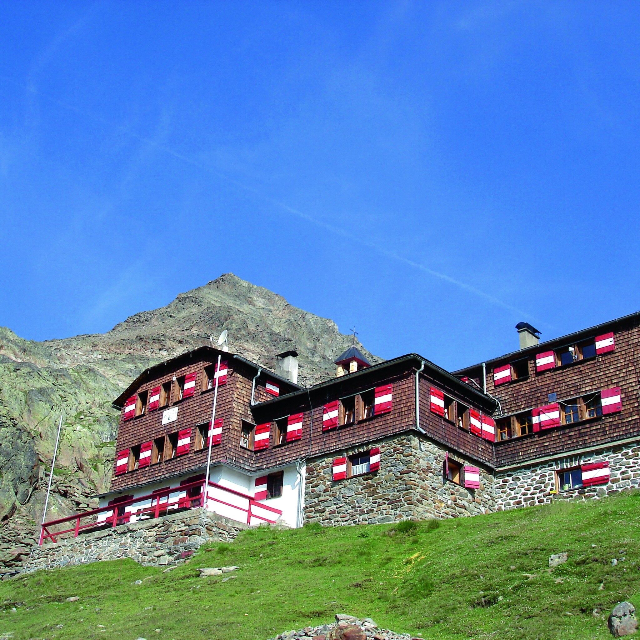
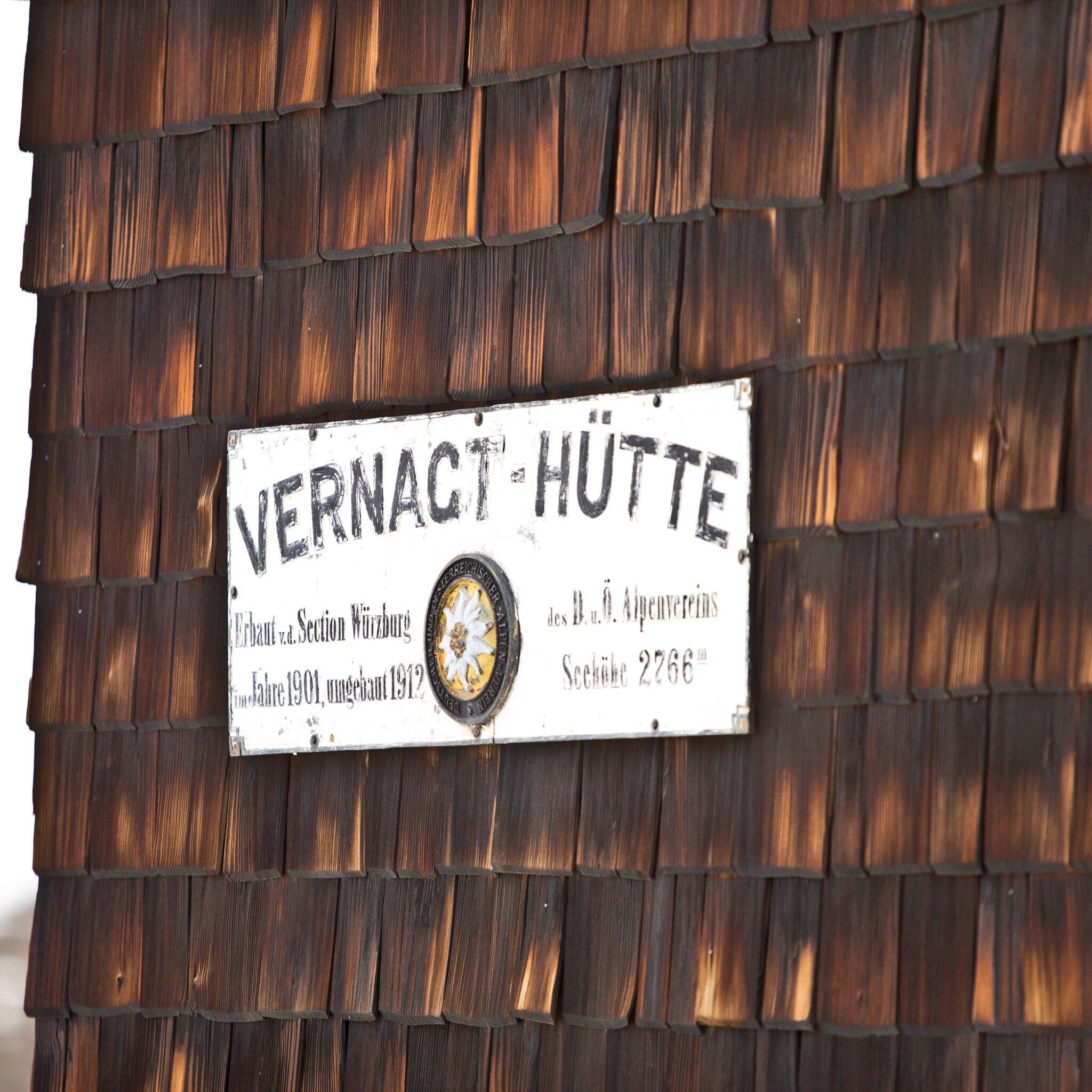
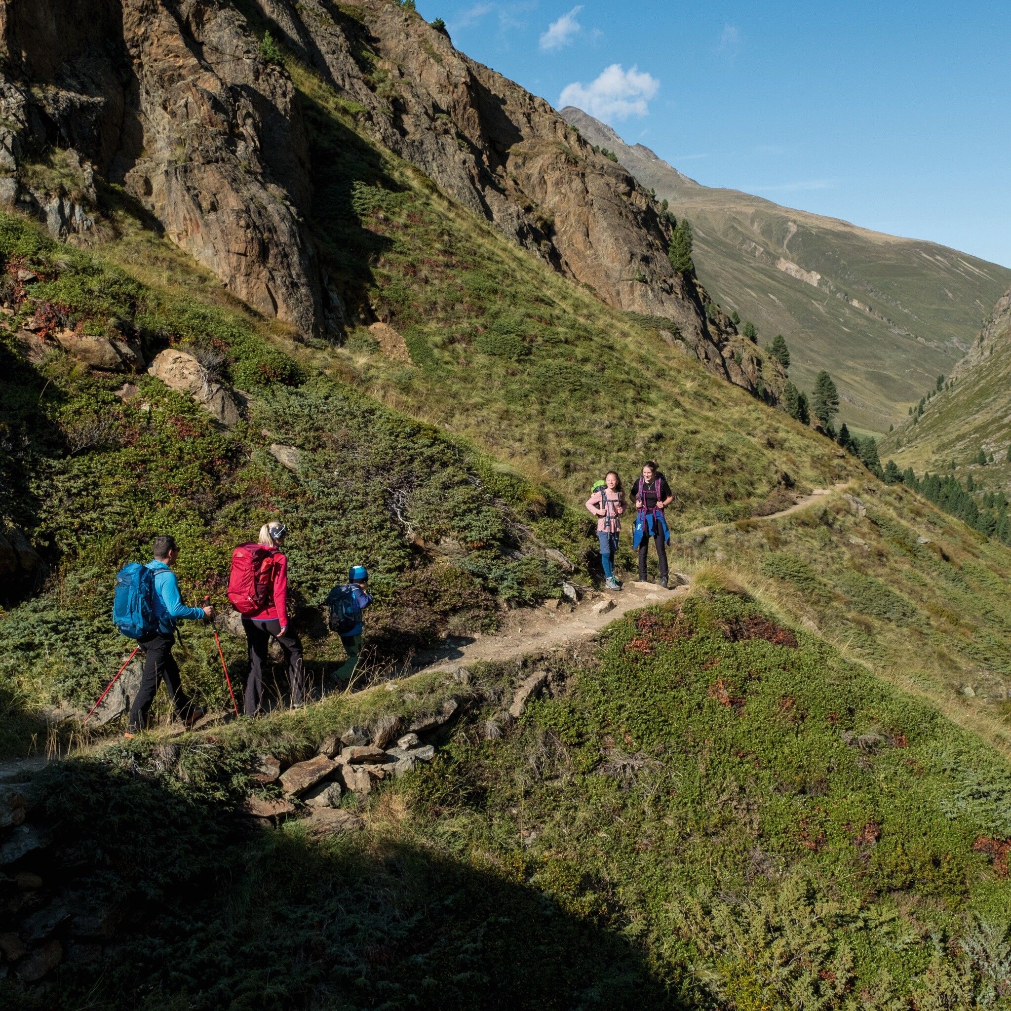
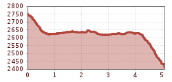
Seufert Trail Vernagthütte - Hochjoch Hospiz
Wearing hiking equipment such as breathable and weather-appropriate outdoor clothing, ankle-high mountain boots, wind, rain and sun protection, hat and possibly gloves is recommended! It is also important to bring sufficient provisions as well as a first aid kit, a mobile phone and possibly a hiking map.
From the Vernagthütte on a beautiful high-altitude trail to the Hochjoch Hospiz.
Travel comfortably and safely by train to the Ötztal train station. The final stop or exit point is the ÖTZTAL station. Afterwards, you can conveniently and quickly travel by public transport or local taxis through the entire valley to your desired destination! The current bus schedule is available at: http://fahrplan.vvt.at
In the mountaineering village of Vent, the following parking options are available.
- In summer in front of the village (parking meter, coins or EC card only) and at the valley station of the chairlift (at the ticket office of the cable cars)
- In winter only at the valley station of the chairlift
Cost: € 5.00 per day/car


