
:
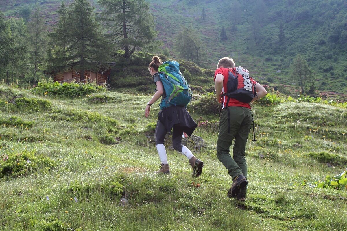
Alpine pasture / hut / mountain restaurant
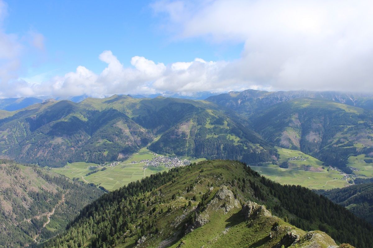
Spitzköfele 2314 m
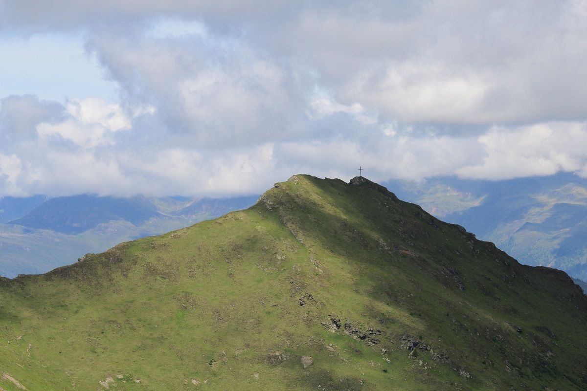
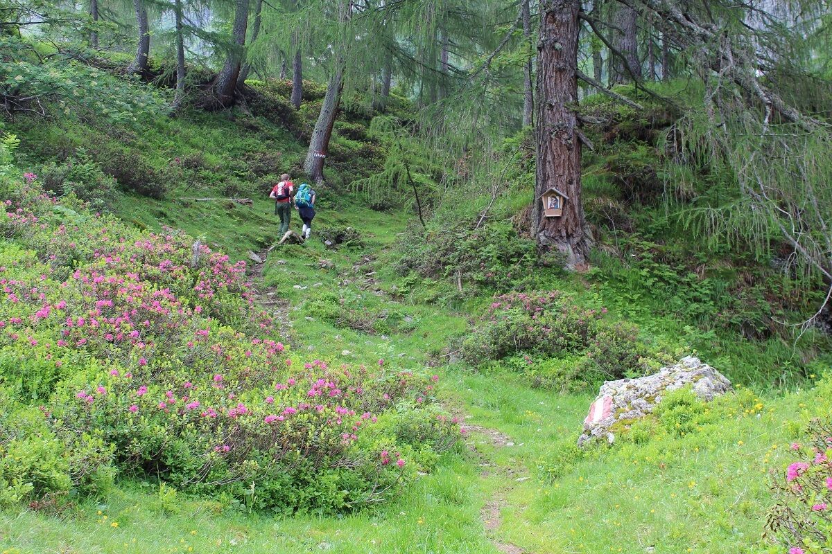
At the junction to Porzehütte cross a little stream to the left and then heading through a shaded forest head up to a shepherd’s lodge. The cattle grazing there has ‘created’ lots of tracks and you have to watch out that you don’t stray from the signposted path. When you are finally on the right path, this proceeds relatively steeply on to the apex of the mountain ridge. From there it is just a few more minutes’ walk to the summit of the Spitzköfele.
Parkplatz Dorfertal


.jpg")
.jpg")


.jpg")


