
Opening hours:Open today
Place:Längenfeld
:Alpine pasture / hut / mountain restaurant
PLEASE NOTE: Due to forestry work, the trail from the district of Lehn to the Stabele Alm is closed. Alternatively, you can reach the Stabele Alm via the forest road. LEHN -> Path towards Stabelealm -> STABELEALM


Moderate mountain trail; suitable for sure-footed and experienced mountain hikers; good physical condition, mountain experience and mountain equipment (see under equipment) necessary. Please observe the current weather report.
Appropriate equipment such as breathable and weather-adapted outdoor clothing is required for all hikes and routes. Carrying a first aid kit, a mobile phone, possibly a hiking map, and sufficient provisions especially for hikes without dining options is necessary.
From the parking lot in Lehn (near the via ferrata entrance), the mountain path steadily climbs in the direction of Stabelealm. Along the path, you cross or see the Lehner Waterfall. The way continuously ascends past the tree line up to Stabelealm at 1908 m.
There is a second option to reach Stabelealm via a broad but longer forest road starting in Unterried. First, follow the signs towards Wurzbergalm, then the winding path to Leckalm. From there, the forest road gently descends until you reach Stabelealm. (Duration: approx. 4 hours)
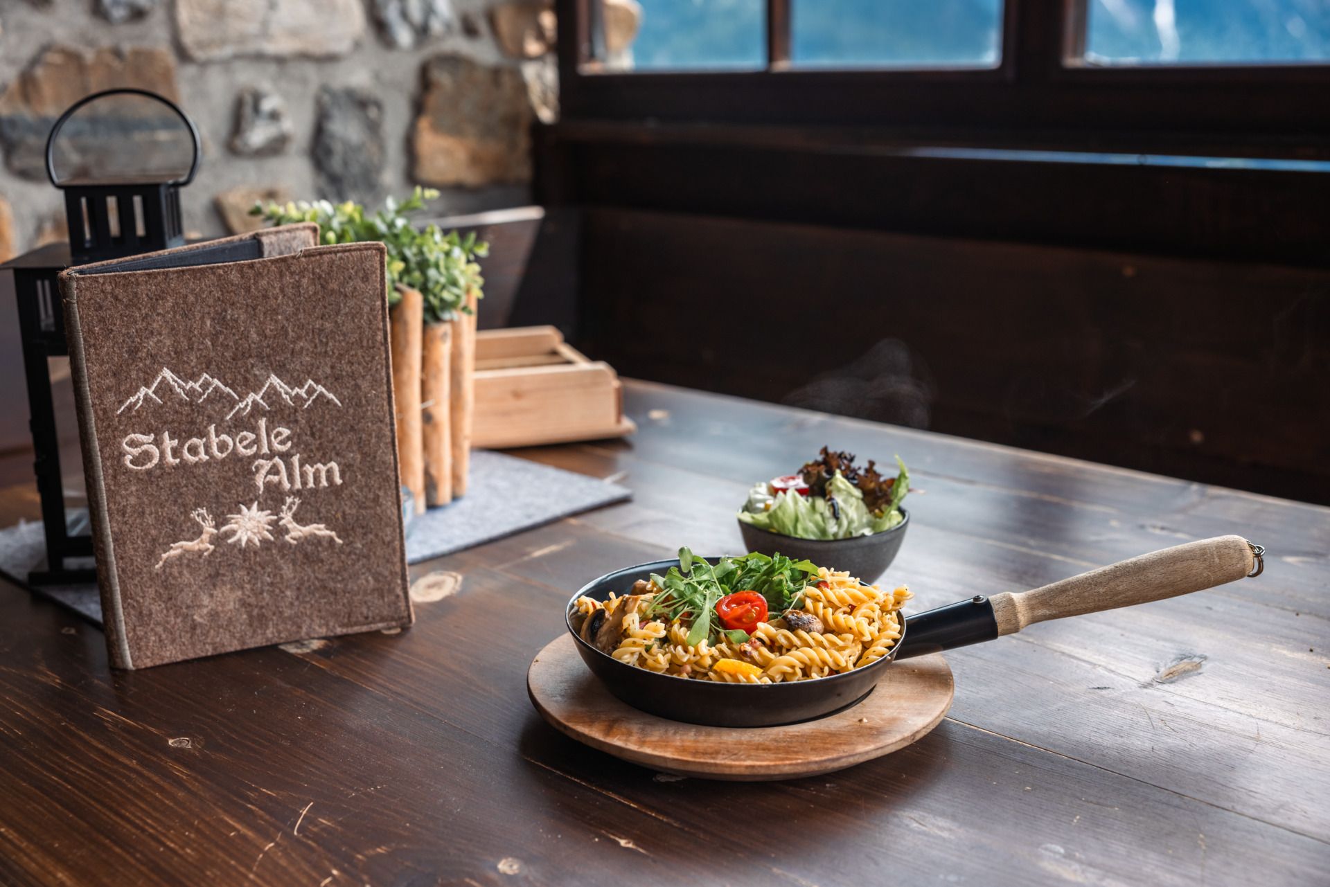
Stabelealm belongs to the Genussplatzlen. "Regional, seasonal, honest cuisine – what's available is enough!" is the motto. Genussplatzlen are committed businesses that act regionally & sustainably whenever possible. Learn more at www.oetztal.com/genussplatzlen
Travel comfortably and safely by train. The final stop or exit point is ÖTZTAL train station. Then you can conveniently and quickly travel through the entire valley to your destination by public transportation or local taxi services. The current bus schedule is available at: fahrplan.vvt.at
The following parking options are available in Längenfeld:


