
Opening hours:Open today
Place:Matrei in Osttirol
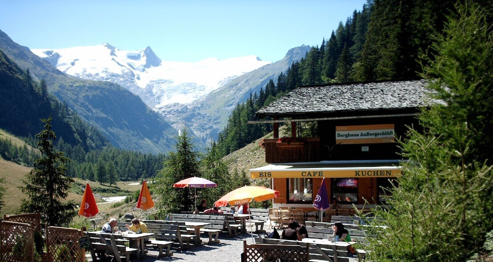
:Restaurant, Alpine pasture / hut / mountain restaurant
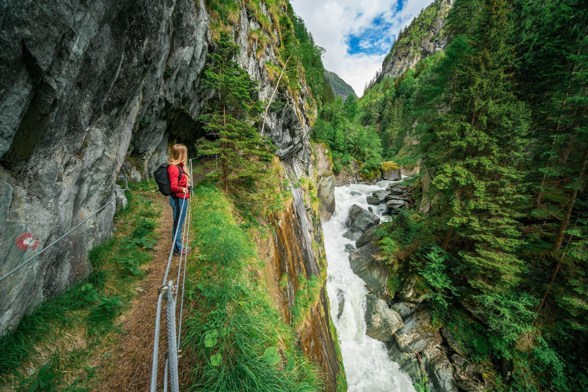
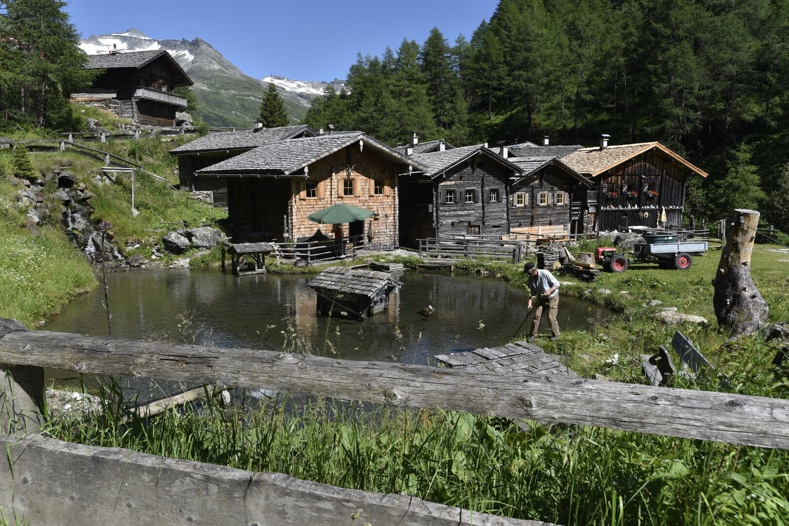
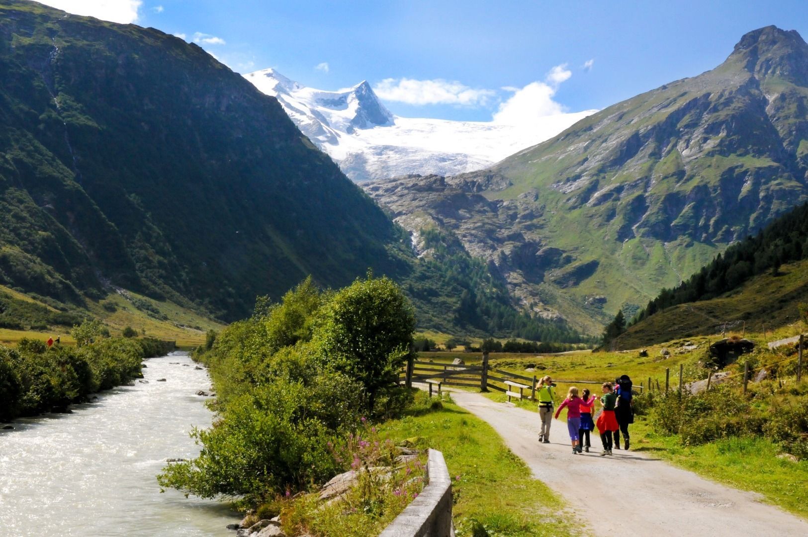
A varied hiking route that follows the Tauernbach stream through the Proßegg Gorge, passing through ancient villages and crossing the most beautiful stretch of the Eastern Alps valley to Innergschlöß.
Asphalt, gravel
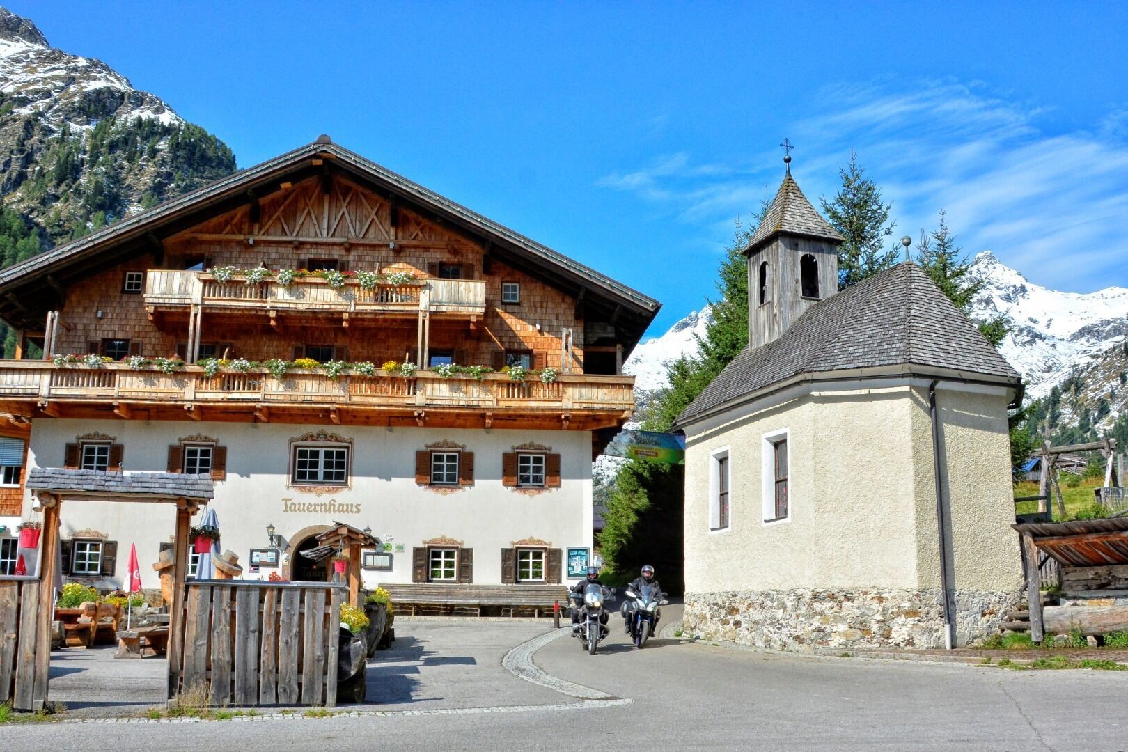
This beautiful walking trail leads from Matrei in East Tyrol, following the Tauernbach stream towards Proßegg, through the Proßegg Gorge and on along the shaded side via Gruben and Berg to Raneburg; from there, it heads towards Landeck and, after passing the Schildalm, reaches the Matreier Tauernhaus. After the Wohlgemuth Alms, the hiking trail leads over the Hohe Achsel to Außergschlöß and through wild and romantic countryside to Innergschlöß.
Bus stop Matrei i. O. Korberplatz ( start of the route
Bus stop Matreier TauernhausCar park Korberplatz


 neu.jpg")


")


 (1).jpg")

.jpg")

")


