Themed hikes Treasure hunt Zwieselstein village route

Sölden / Ötztaler Alpen
Difficulty ratings: easy
Route length: 2.9 km
Duration: 1:00 h

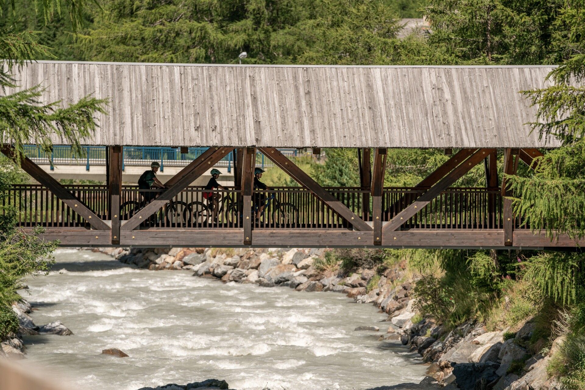
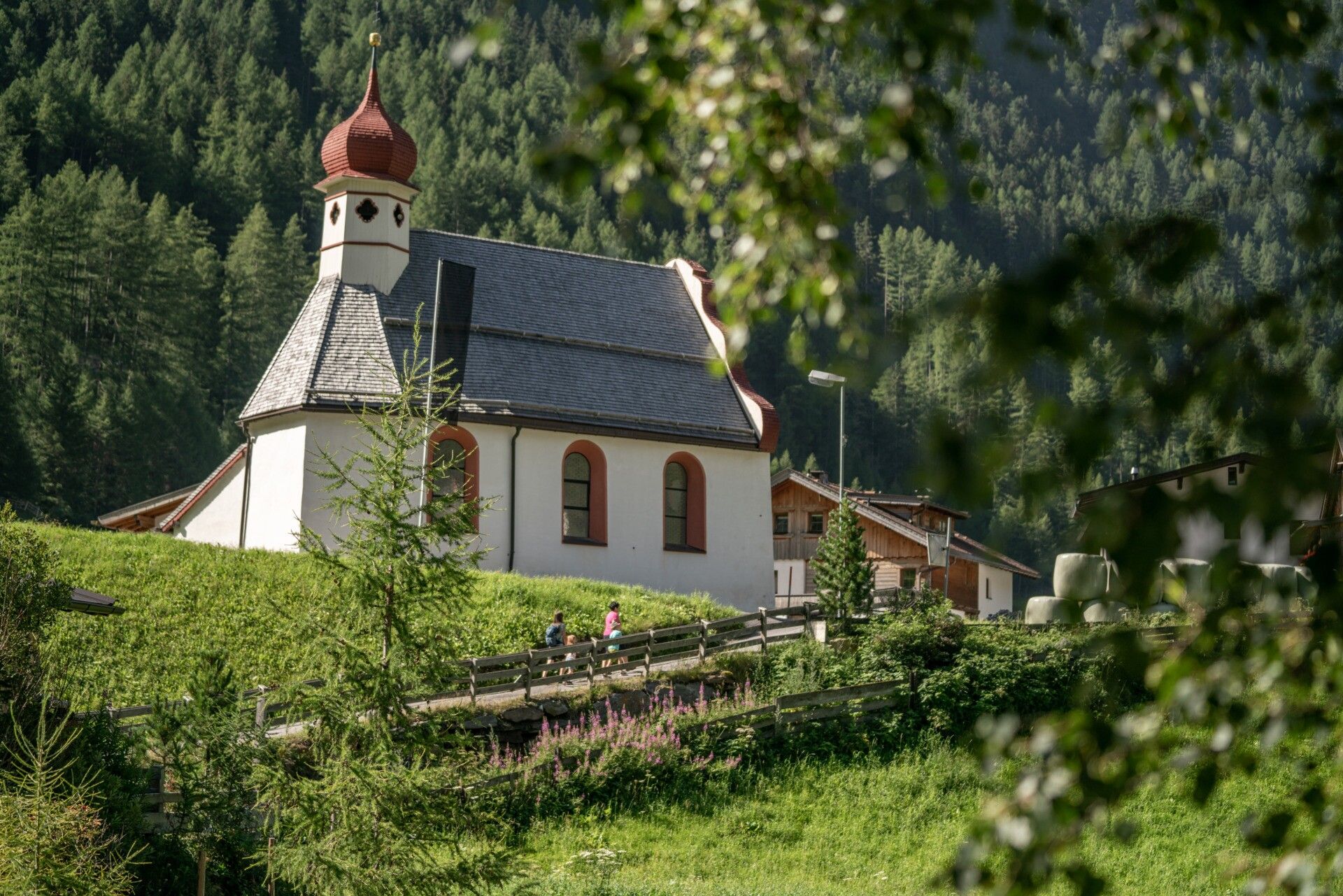
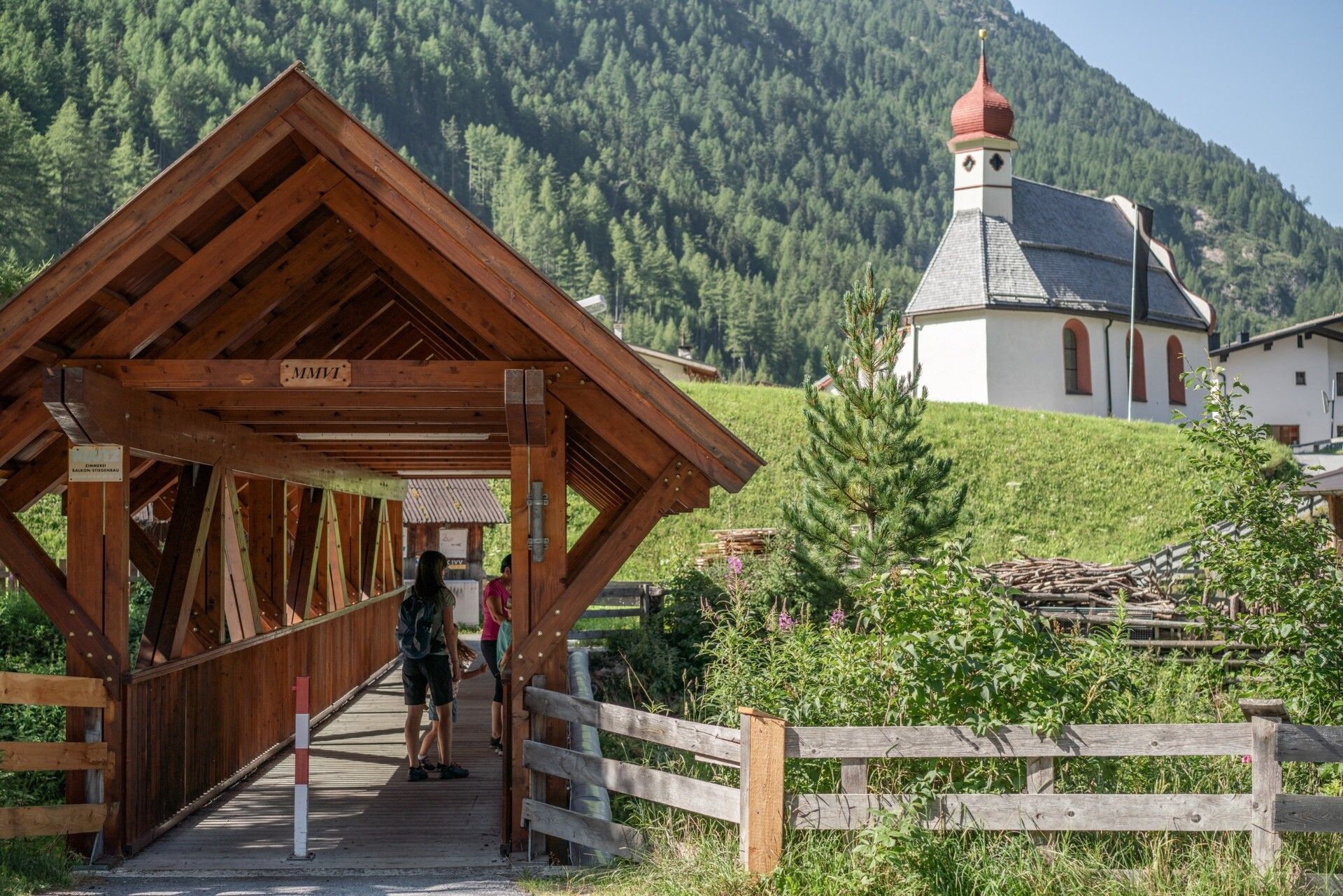
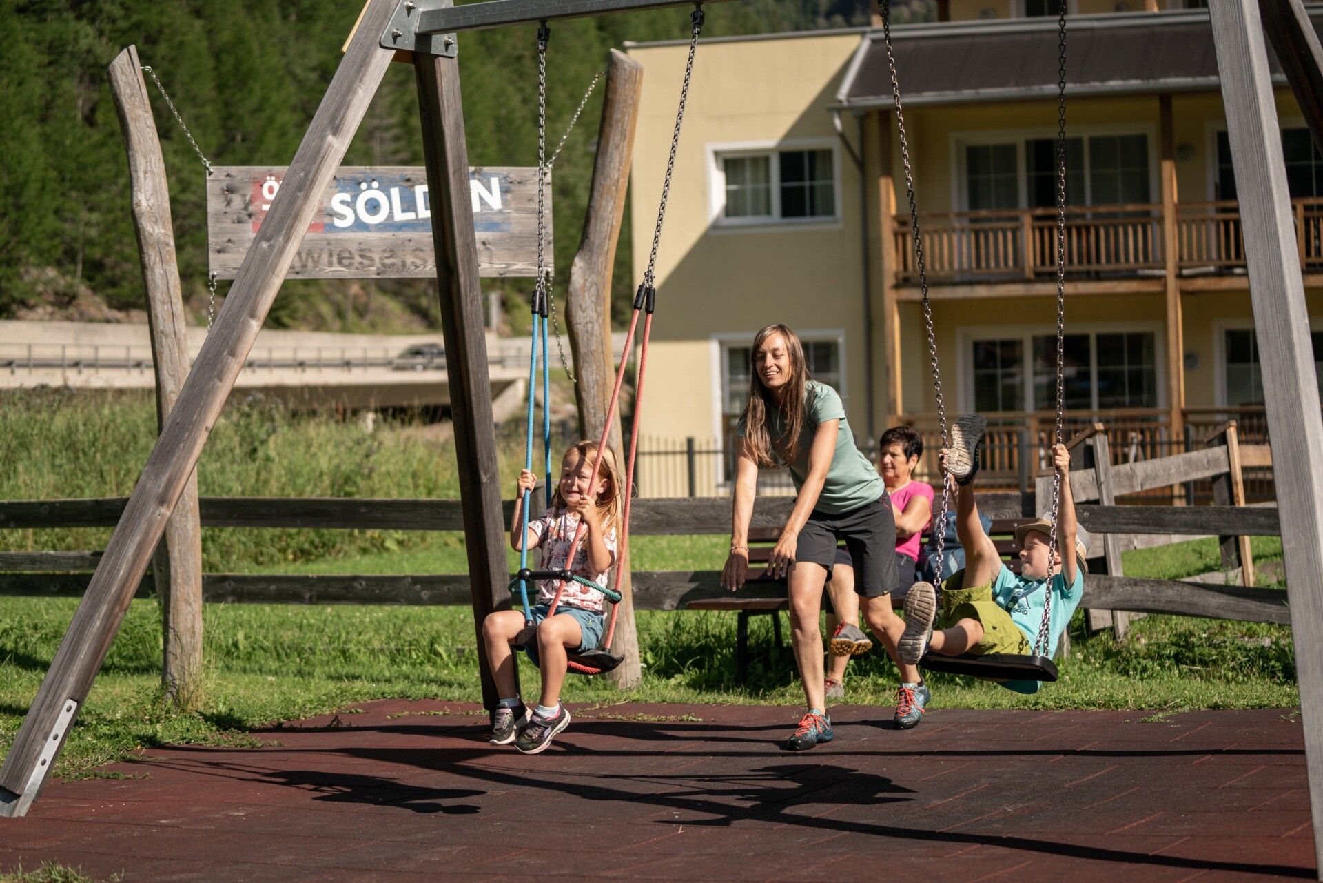
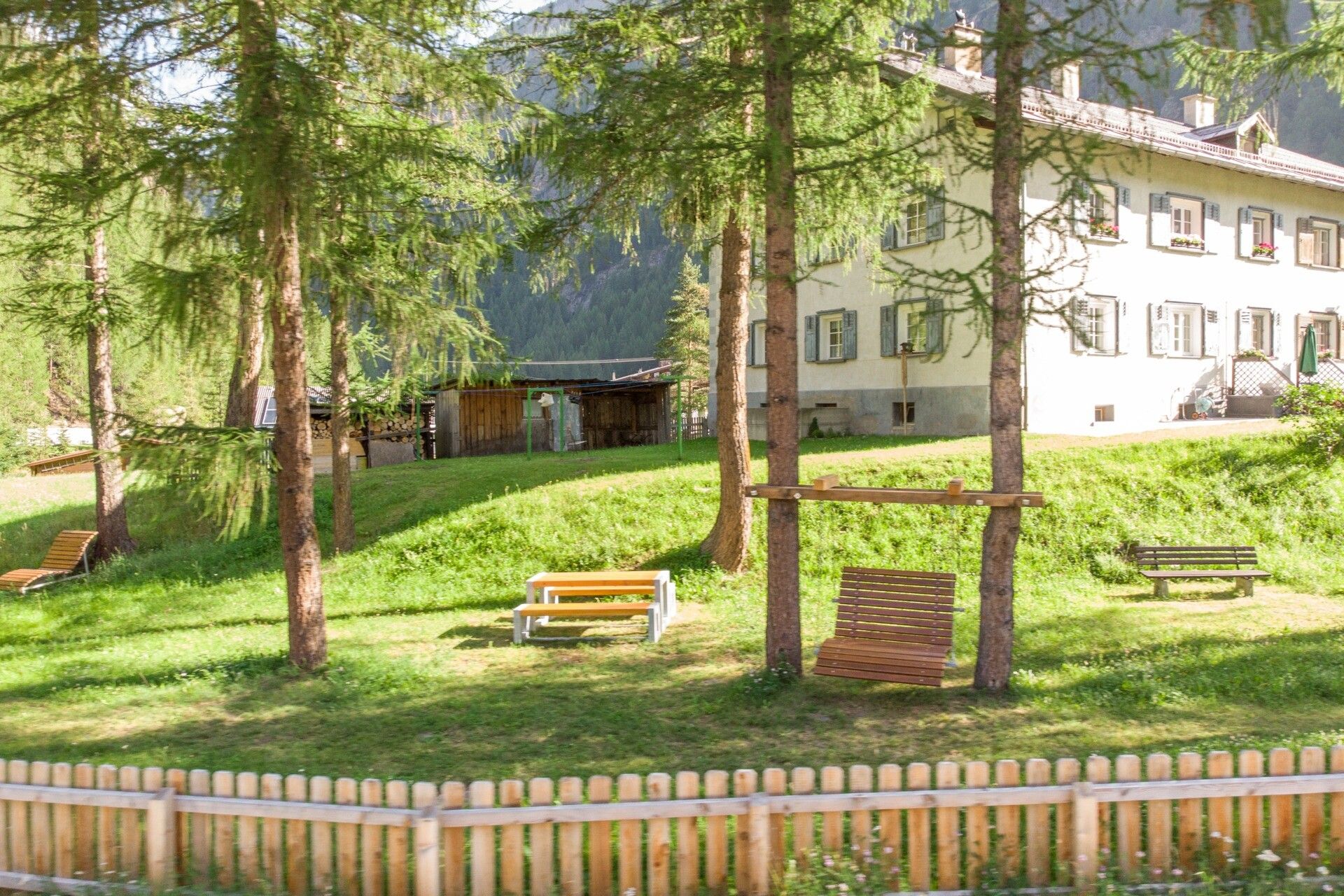
This treasure route takes you through the small village of Zwieselstein. Above the main road, you walk past the small church, cross the main road, and walk through the meadows towards the football pitch. Along the Ache river, you return to the village and turn left after the bridge. You reach a place of rest that you won't find if you just pass through Zwieselstein.

Tour information

  • Requirement: easy
  • Length: 2.9 km
  • Duration: 1:00 h
  • Elevation uphill:37 hm
  • Elevation downhill:37 hm
Highest point1,476 m

Starting point

Bus stop Zwieselstein downstream

Finishing point

Bus stop Zwieselstein upstream
  • Fitness level 2 / 6

Best time of year

  • January
  • February
  • March
  • April
  • May
  • June
  • July
  • August
  • September
  • October
  • November
  • December

Equipment

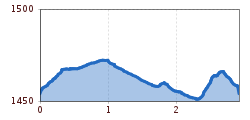
Be careful at the main road - hold children by the hand and watch out for traffic. You have to cross the main road twice and walk along the main road twice.

Good trainers or hiking shoes - in winter, winter hiking shoes with good soles are advantageous. Snacks and something to drink

Source: TVB Ötztal Tourismus

Description

Zwieselstein lies in a small basin in the rear Ötztal. Here, where the valley splits into the Venter and Gurgler valleys, the crystal-clear waters of the Venter and Gurgler Ache unite into the majestic Ötztaler Ache. You hike through the small village and enjoy the impressive backdrop of imposing mountains, lush alpine meadows, and clear mountain streams. Along the path, you pass a small, traditional church.

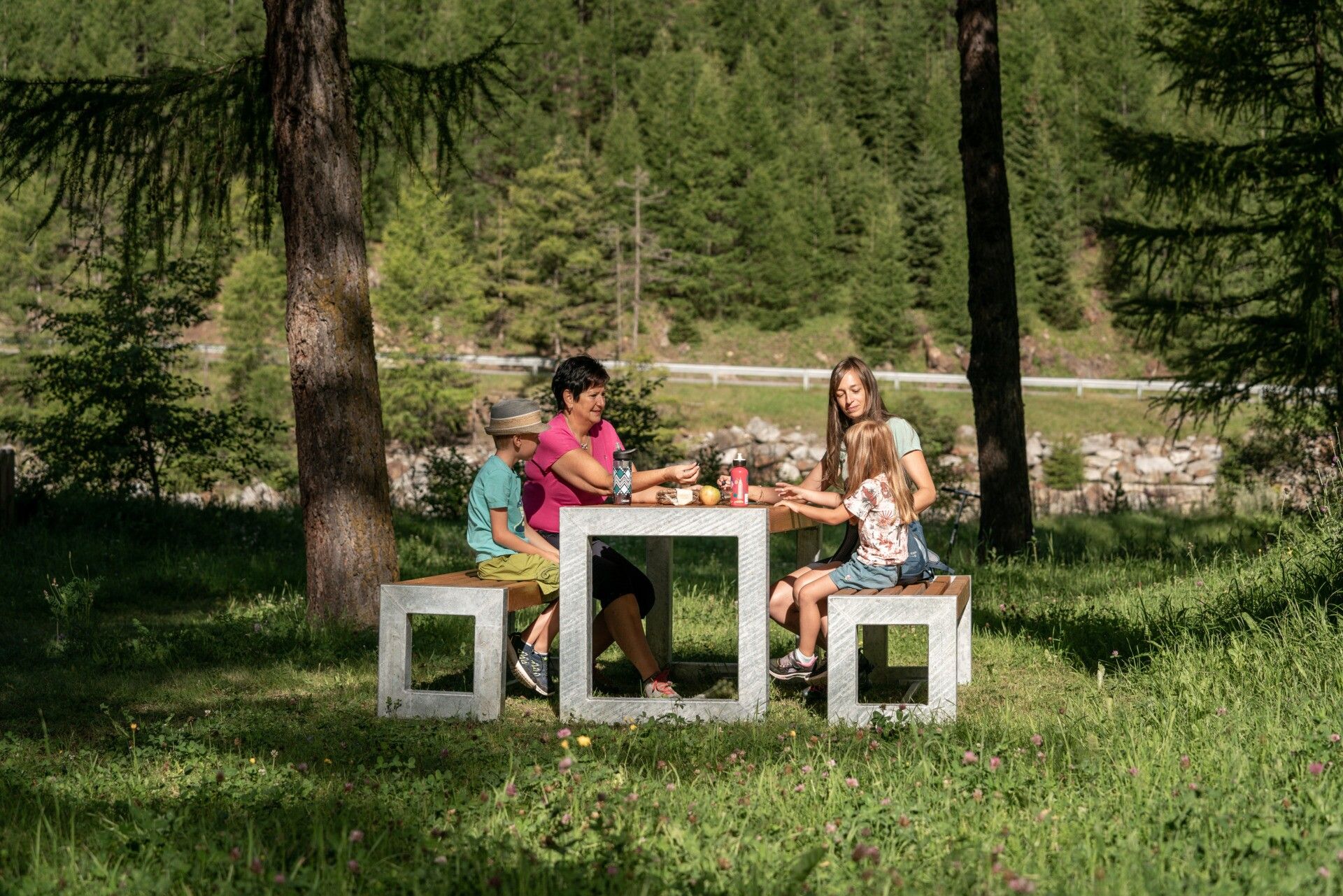
Step by step, the path leads you further over blooming meadows and through the forest; enjoy the sound of the streams and the chirping of birds while the scent of fresh fir greenery invigorates your senses.

How does the treasure hunt work? Along the indicated route, there are small caches (treasure boxes). One or more letters are hidden in each cache. Remember these letters or write them down. Together, these letters form a solution word.

If you have found all the caches on this route and know the solution word, you can collect a small gift (for children) at the information offices in Sölden, Vent, or Obergurgl.

Depending on the snow conditions, the route is also feasible in winter. Magnetic caches, regular containers, PETling tubes, and much more are hidden here. Please make sure everything is well hidden again.


Getting here

  • Arrival by public transport

    By bus towards Obergurgl; stop Zwieselstein Hotel Post

  • Parking

    Parking lot Hochstattweg (paid).

More tours in the surrounding area

  • Ötztal Trek Stage 6

    Difficulty:difficult
    Length:7.6 kmDuration:3:30 hElevation uphill:640 m
  • Ötztal Trek Stage 4

    Difficulty:difficult
    Length:8.9 kmDuration:4:00 hElevation uphill:802 m
  • Ötztal Trek Stage 3

    Difficulty:difficult
    Length:10.4 kmDuration:4:00 hElevation uphill:842 m
  • Ötztal Trek Stage 10

    Difficulty:difficult
    Length:11.1 kmDuration:4:30 hElevation uphill:1,476 m
  • Ötztal Trek Stage 7

    Difficulty:difficult
    Length:5.3 kmDuration:2:00 hElevation uphill:376 m
  • Ötztal Trek Stage 8

    Difficulty:difficult
    Length:9.3 kmDuration:3:30 hElevation uphill:274 m
  • Ötztal Trek

    Length:246.4 kmDuration:84:25 hElevation uphill:18,910 m
  • Ötztal Trek Stage 1

    Difficulty:medium
    Length:18.6 kmDuration:6:30 hElevation uphill:1,561 m
  • Ötztal Trek Stage 17

    Difficulty:difficult
    Length:16.4 kmDuration:6:00 hElevation uphill:1,080 m
  • Ötztal Trek Stage 14

    Difficulty:difficult
    Length:6.3 kmDuration:3:00 hElevation uphill:1,004 m
  • Ötztal Trek Stage 16

    Difficulty:difficult
    Length:6.9 kmDuration:2:30 hElevation uphill:358 m
  • Ötztal Trek Stage 20

    Opening hours:closed
    Difficulty:medium
    Length:6.4 kmDuration:3:00 hElevation uphill:610 m
  • Ötztal Trek Stage 12

    Difficulty:difficult
    Length:4.8 kmDuration:2:00 hElevation uphill:592 m
  • Ötztal Trek Stage 11

    Difficulty:difficult
    Length:12.0 kmDuration:5:00 hElevation uphill:705 m
  • Ötztal Trek Stage 5

    Difficulty:difficult
    Length:8.1 kmDuration:3:30 hElevation uphill:1,125 m
  • Ötztaler Urweg

    Length:189.1 kmDuration:72:19 hElevation uphill:9,428 m
  • Ötztal Trek Stage 22

    Difficulty:difficult
    Length:21.5 kmDuration:8:00 hElevation uphill:647 m
  • Ötztal Trek Stage 21

    Difficulty:difficult
    Length:9.4 kmDuration:4:30 hElevation uphill:1,270 m
  • Stuibenfall hike - Umhausen

    Opening hours:open
    Difficulty:easy
    Length:2.9 kmDuration:1:45 hElevation uphill:456 m
  • Mountain peak Rosskopf

    Difficulty:medium
    Length:2.0 kmDuration:2:00 hElevation uphill:379 m
Newsletter

The mountain is calling? So does our newsletter!

In our monthly newsletter we reveal the best holiday tips for Tyrol.