Mountain hikes Wettersee - Umhausen

Umhausen / Ötztaler Alpen
Difficulty ratings: medium
Route length: 10.6 km
Duration: 5:00 h

UMHAUSEN -> Mure parking lot -> Neudorf district -> Fundus bridge -> Fundustal/Leierstal junction -> Vordere Leierstalalm -> Erlanger Hut -> WETTERSEE

Tour information

  • Requirement: medium
  • Length: 10.6 km
  • Duration: 5:00 h
  • Elevation uphill:1,577 hm
  • Elevation downhill:53 hm
Highest point2,557 m

Starting point

Mure parking lot

Finishing point

Wettersee
  • Fitness level 4 / 6

Best time of year

  • January
  • February
  • March
  • April
  • May
  • June
  • July
  • August
  • September
  • October
  • November
  • December

Equipment

Moderately difficult mountain path; suitable for sure-footed and experienced mountain hikers;

Good physical condition, mountain experience, and mountaineering equipment (see under Equipment) are necessary

Please observe the current weather report

Appropriate equipment such as breathable and weather-appropriate outdoor clothing, ankle-high hiking boots, wind, rain, and sun protection, hat, and possibly gloves is required for all hikes and routes. It is necessary to carry a first aid kit, a mobile phone, and possibly a hiking map, as well as sufficient provisions for hikes without dining options.

Source: TVB Ötztal Tourismus

Description

From the Mure parking lot in the center of the village of Umhausen, the route crosses the bridge, passes the parish church, and continues at an easy pace through the Neudorf district. After crossing the Fundus Bridge, follow the wide forest road to the junction for Fundustal (left) and Leierstal (right). Here, continue to the right until you reach the “unserviced” Vordere Leierstalalm.

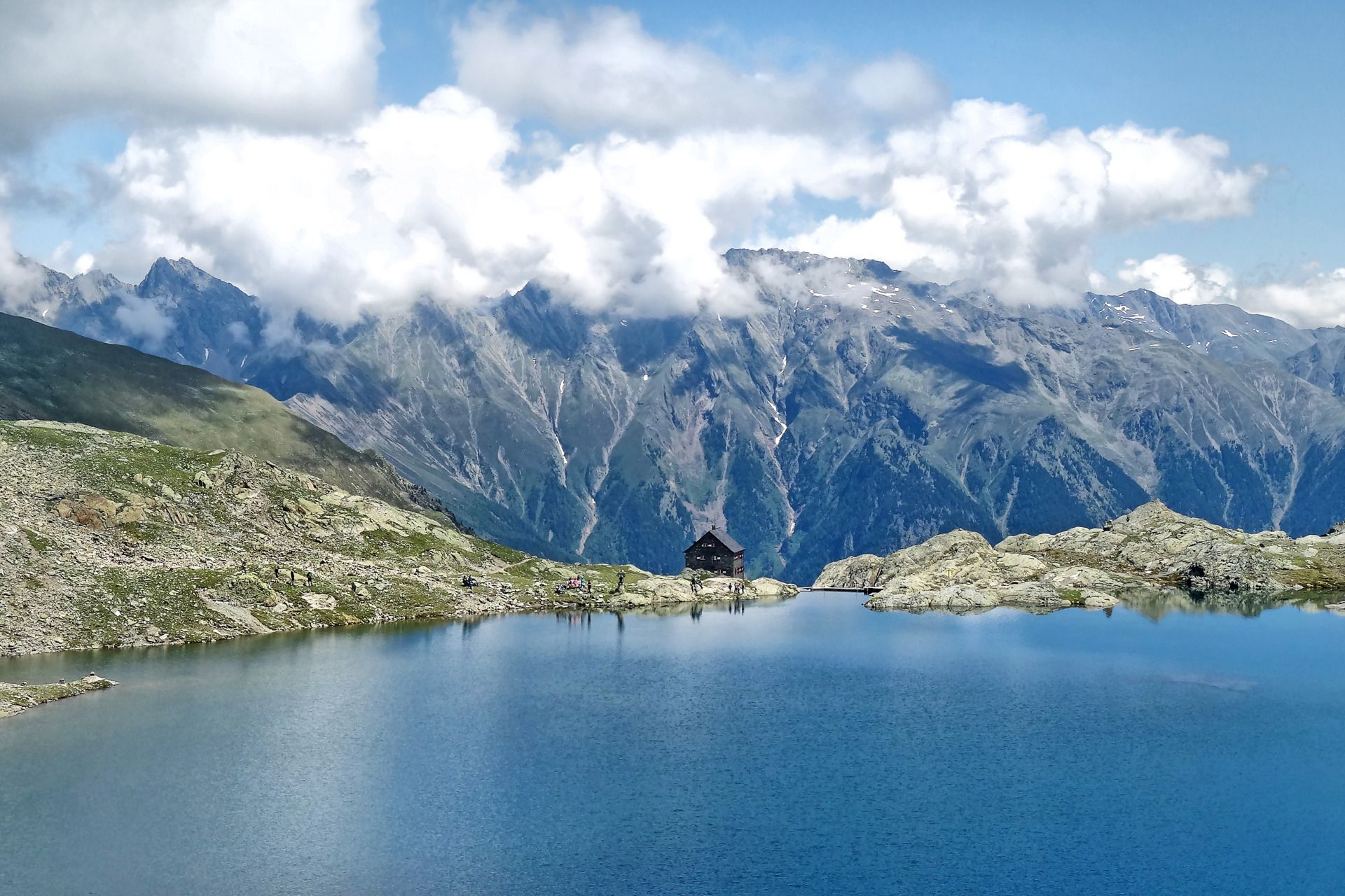
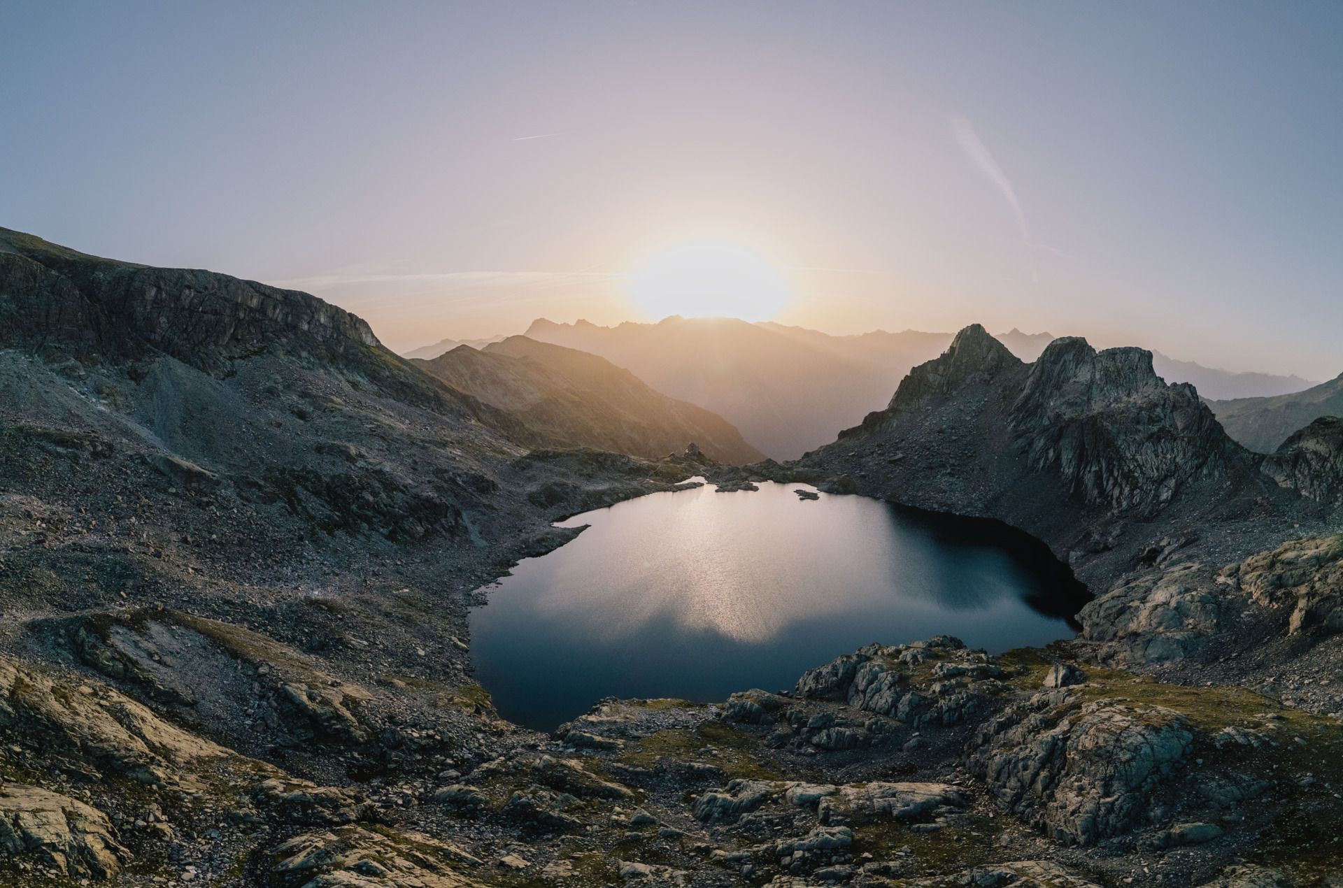
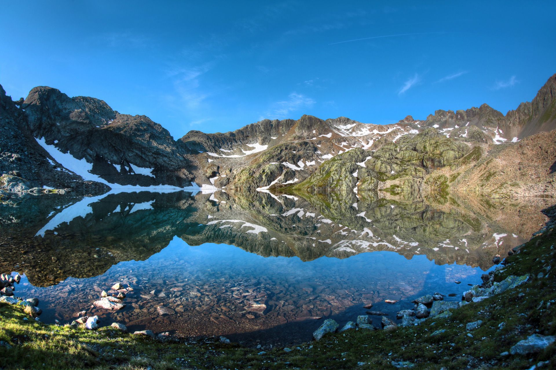
From the alpine pasture, a cart track leads gently uphill to the material cable car, and then the hiking trail continues with a steady ascent toward the already visible—but deceptively distant—Erlanger Hut. From the hut, it is only about five minutes to the deep, dark Wettersee, a true gem among mountain lakes. A newly constructed path allows you to comfortably walk all the way around the lake in about an hour. The descent follows the same route as the ascent. Taking the hut taxi to or from a point just before the Vordere Leierstalalm shortens the hiking time, leaving only about 2.5–3 hours on foot from there.

Hut taxi contact: Taxi Scharfetter, T +43 (0) 5255 5858


Nearby huts and mountain restaurants

Getting here

  • Arrival by public transport

    Travel comfortably and safely by train to the Ötztal train station. The final stop or exit point is the ÖTZTAL station. Afterwards, you can conveniently and quickly travel through the entire valley to your desired destination using public transportation or local taxi services! The current bus timetable is available at: http://fahrplan.vvt.at

  • Parking

    The following parking options are available in Umhausen:

    • Mure parking lot, free of charge

More tours in the surrounding area

Newsletter

The mountain is calling? So does our newsletter!

In our monthly newsletter we reveal the best holiday tips for Tyrol.