
Opening hours:Today closed
Place:
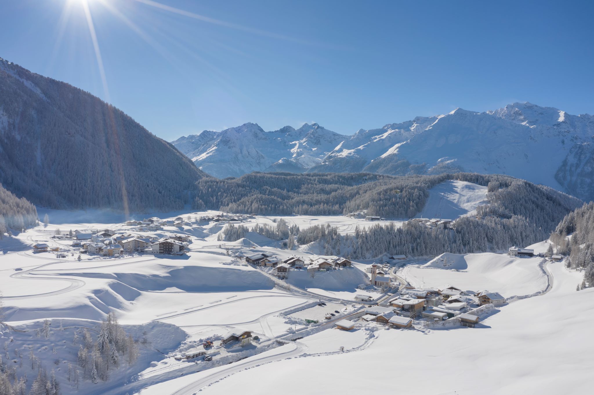
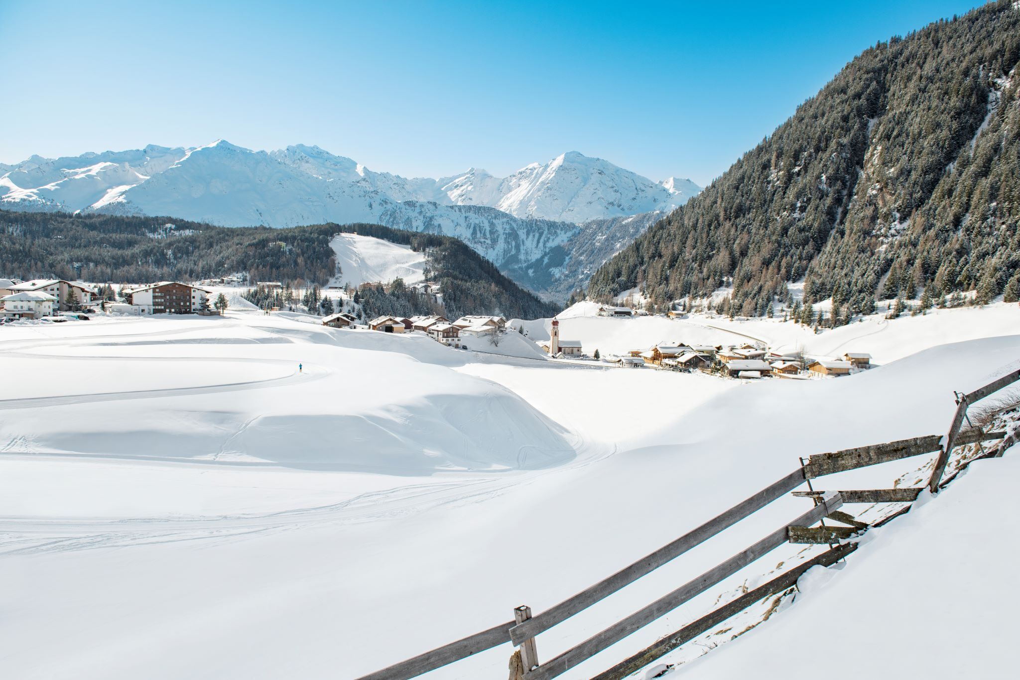
Niederthai
:
Restaurant
SENNHOF PARKING LOT->Nordic Sports Arena->Tellerboden->SENNHOF PARKING LOT

Please note the current snow and avalanche report for the coming days:
https://www.oetztal.com/de/winter.html & https://avalanche.report/albina-web/bulletin/2019-01-07?lang=de
The Ötztal Tourism team will be happy to personally inform you about the condition of the winter hiking trails.
Ötztal Tourism, T +43 5 72 00 400, umhausen@oetztal.com
Appropriate equipment such as breathable and weather-adapted outdoor clothing is required for all hikes and routes. Carrying a first aid kit, a mobile phone, and possibly a hiking map, as well as sufficient provisions for hikes without refreshment options, is necessary.
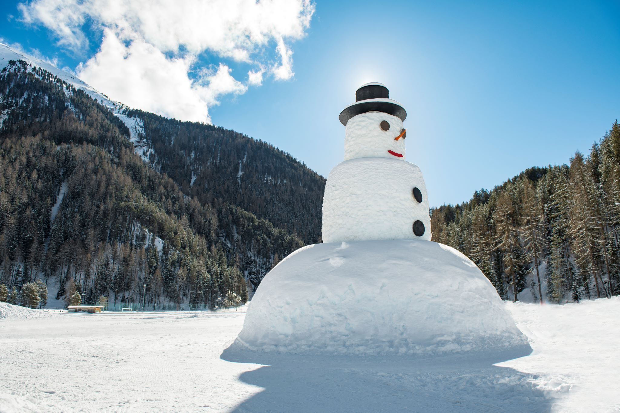
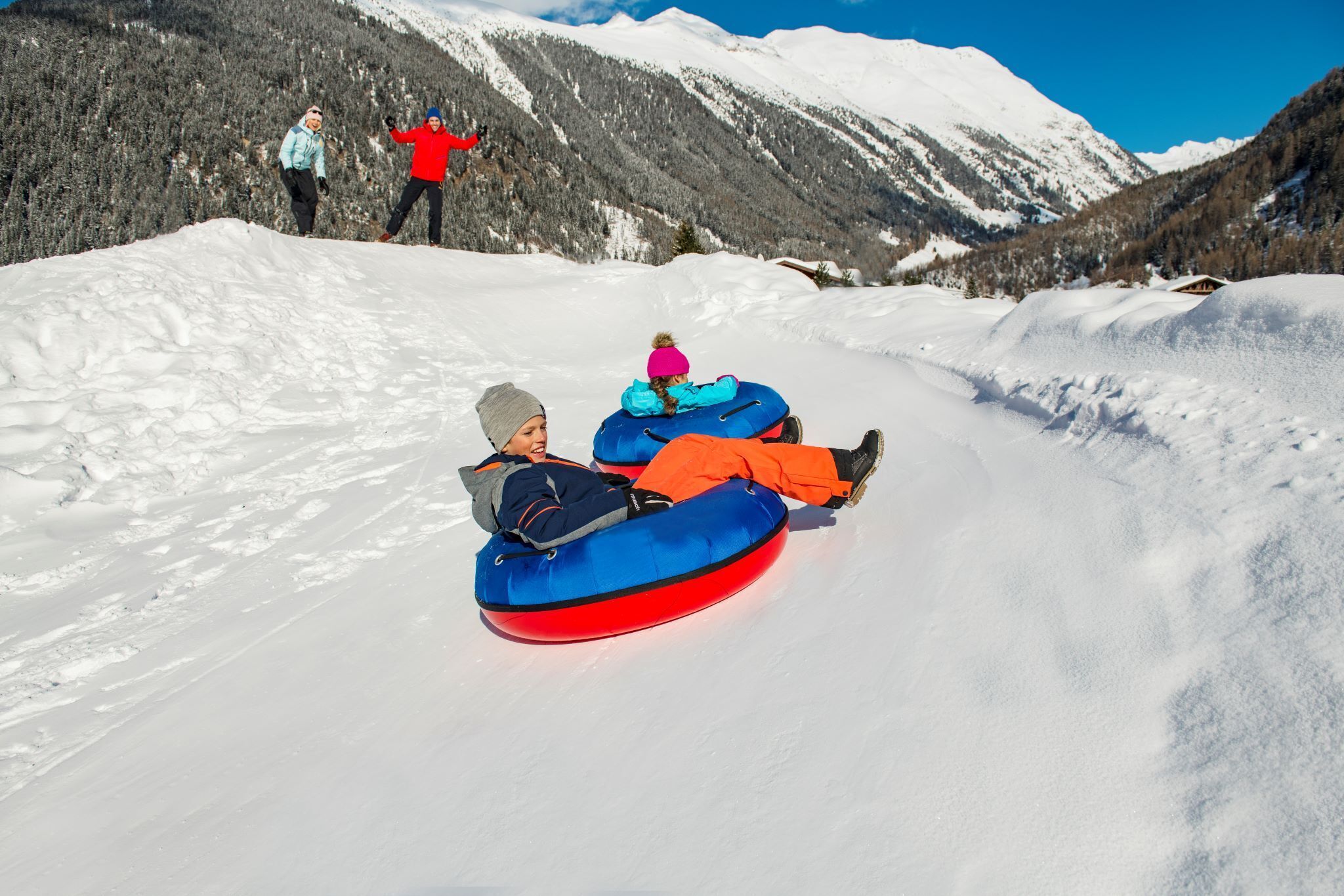
The winter hiking trail around Niederthai starts at the Sennhof parking lot (next to the information center). From there, the marked hiking trail initially follows along the cross-country ski track. After about 100 meters, it gently ascends to the right towards the Ennebach district. The path leads flatly over the white, wintry meadows to the Nordic Sports Arena. After a short break at the Ötztal Snowman (slide hill, children's snowball wall, reclining chairs), the trail continues to the Tellerboden district. Along the forest, the hiking trail descends to the Matau ski lift and back to the starting point of the circular hike.
Travel comfortably and safely by train to the Ötztal train station. The final stop or exit point is the ÖTZTAL station. Afterwards, you can conveniently and quickly travel through the entire valley to your desired destination using public transport or local taxi companies! The current bus schedule is available at: http://fahrplan.vvt.at
Sennhof parking lot
The parking lot is subject to a fee from 07:00 to 18:30 and is managed year-round.


")
