
Opening hours:Today closed
Place:Obergurgl
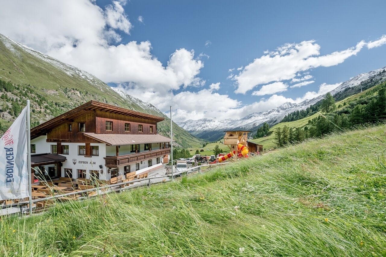
:Restaurant
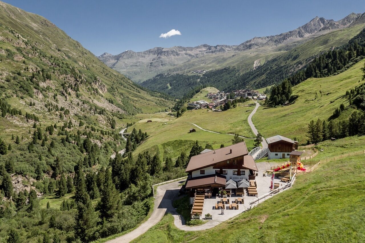
OBERGURGL -> ZIRBEN ALM

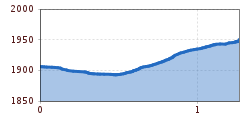
Easy hiking trail; suitable for beginners and walkers. Please check the current weather report at: www.oetztal.com/de/sommer.html.
Appropriate equipment such as breathable and weather-adapted outdoor clothing, ankle-high hiking boots, wind, rain, and sun protection, a cap, and possibly gloves, is required for all hikes and routes. It is necessary to carry a first aid kit, a mobile phone, and possibly a hiking map, as well as sufficient provisions for hikes without the possibility of stopping for food.
From Obergurgl head south to the last houses. Here follow the hiking trail towards Zirben Alm.
Travel comfortably and safely by train to the Ötztal train station. The final stop or exit point is the ÖTZTAL station. Afterwards, you can conveniently and quickly continue by public transport or local taxi companies through the entire valley to your desired destination. The current bus schedule can be found at: fahrplan.vvt.at.
The following parking options are available in Gurgl:


")


