Nine Walks and Hikes with Public Transport
1. Alpine Adventure
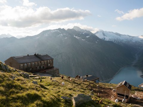
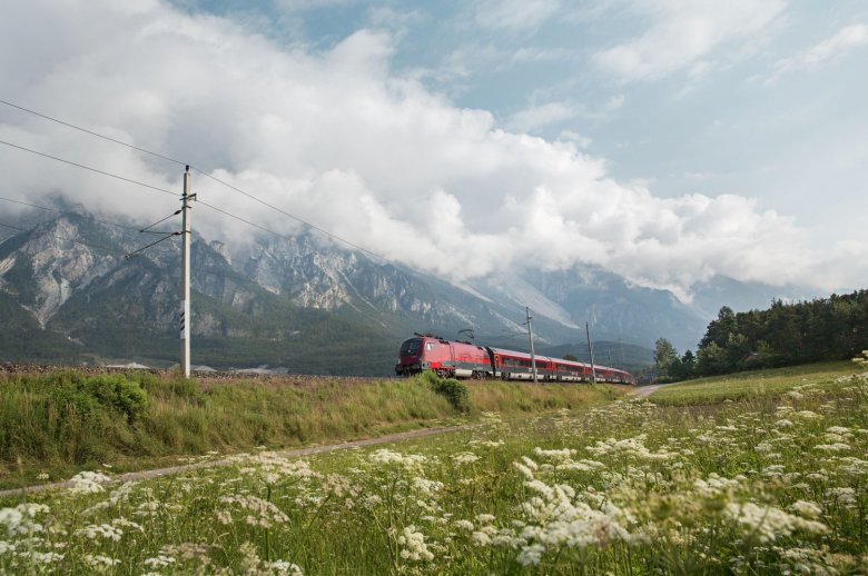
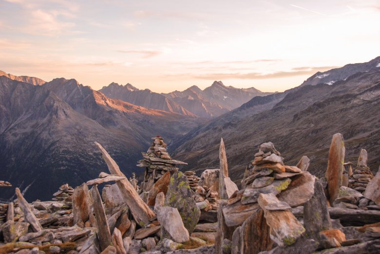
The Peter Habeler Trek is a multi-day hiking route in the Zillertal Alps taking in many mountains and peaks. It can be completed as a loop or, alternatively, from east to west. Hikers get off at the very last bus stop in the Zillertal Valley, next to the Schlegeis reservoir. From there they walk into the Wipptal, a quiet side valley near the Brenner Pass connecting Austria and Italy. This shorter version of the route turns what would normally be a 55-kilometre-long loop into an east-west crossing of the Tux Main Ridge about half the length. The adventure, which takes around three days, leads along the southern side of the Hohe Wand into the Wipptal Valley. From St. Jodok, the small village at the start of the Wipptal Valley where this hike ends, walkers can take the train back to Innsbruck in less than half an hour.
Daytrip by bus & train
Discover easily accessible destinations from your location with NaturTrip.
2. Easy Living
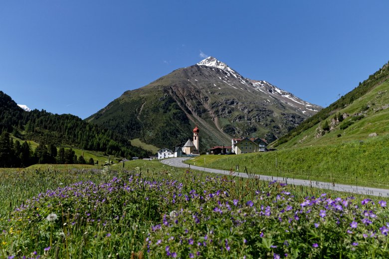
2,830 metres above sea level – that is the altitude of Tirol’s highest bus stop. Situated on the edge of the Tiefenbachferner glacier in the Ötztal Valley, it is the perfect starting point for hikers looking for spectacular views without too much uphill effort. We recommend the half-day hike with 900 metres of mostly downhill walking. It leads along the Panoramaweg trail, skirting the edge of the glacier itself, and takes walkers in a south-westerly direction all the way to the idyllic village of Vent – from the snow and ice of the glacier to the lush meadows and thick forests of the high pastureland.
3. Long Distance
Three days, almost 50 kilometres and stunning views. That is what awaits hikers on this classic route in the Karwendel Mountains from Scharnitz to Stans. Leaving from the railway station in Scharnitz (easy to get to from both Innsbruck and Munich), walkers head 17 kilometres into the valley and climb up to the Karwendelhaus mountain refuge. Day two leads via the Falkenhütte hut and the Spielissjoch ridge into the Karwendel Nature Park. After staying the night at the Lamsenjochhütte hut, the third and final day includes the option to descend down into the valley via the Wolfsklamm, a spectacular gorge with a rushing river above Stans. The train journey back to Innsbruck takes just 30 minutes.
4. Bird Watching
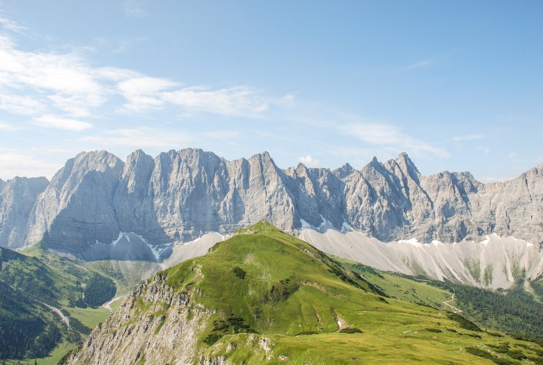
This hike is just right for those keen on spotting not only birds but also peaks, especially those of the Wilder Kaiser Mountains near Kufstein. The route is actually part of the Eagle Walk, a long-distance hiking trail leading from east to west across Tirol. This walk takes three days, starting in St. Johann and passing both the Gaudeamushütte hut and the 882-metre-high Hintersteiner See lake before ending in the town of Kufstein. The Wilder Kaiser Mountains can be wild and challenging, but this hike is not – it leads around the craggy peaks instead of up and over them. There is no need for a via ferrata set or any other alpine equipment, so a mid-sized rucksack will be enough. The starting point in St. Johann can be reached in just 40 minutes by train from the small town of Wörgl in the Inn Valley.
In the past five years, the Austrian Alpine Club has published brochures (in German) and digital guides for hikes and walks in Tirol which can be easily accessed using public transport. The focus is on Tirol’s five nature parks in the Zillertal Alps, Ötztal Alps, Kaunergrat Mountains, Karwendel Mountains and Lechtal Alps.
5. Family Fun
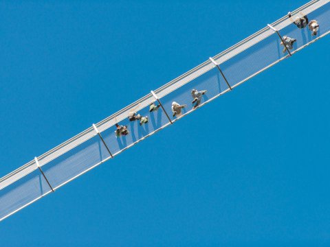
This family adventure begins just a few minutes from the railway station in Reutte. The hike takes around one and a half hours and not only showcases the spectacular landscape around the Lech river but also tells children and adults how knights once lived in this region many centuries ago – and what the call of the Daubenton’s bat sounds like. From the railway station in Reutte, walkers take the bus for around ten minutes to the stop called “Abzw. Krankenhaus“. The first part of the hike is easy, leading up through forests and meadows to the Burgenwelt Ehrenberg castle ruins, home to an exhibition on the Lech river, Europe’s last remaining untamed river, as well as a show about the knights who once occupied this mighty fortress. Those with a head for heights can make a small detour of around 30 minutes on their way back down to include the Highline 179. At 406 metres in length, it is the longest hanging footbridge in the world. At its highest point it is 114 metres above the ground and offers fine views of Reutte and the surrounding mountains.

6. History Hike
A fascinating adventure telling walkers all about the ancient history of Tirol. From the railway station Ötztal Bahnhof there is a bus to Obergurgl at the end of the Ötztal Valley, where the “Archäologischer Rundwanderweg Obergurgl” begins. This circular trail leads through meadows and forests towards the Beilstein mountain. It is almost 12 kilometres in length and remains at between 1900 and 2600 metres above sea level. Information boards along the way tell the story of the Ötztal Valley and how it was first populated many thousands of years ago. Stone formations indicate that the first peoples arrived here in the west of Tirol long before the famous Ötzi the Iceman, who lived around 5000 years ago. The return leg takes hikers past the Soomsee lake to Zwieselstein, where there is a bus connection all the way back to Ötztal Bahnhof railway station at the start of the valley.
7. Life on the Edge
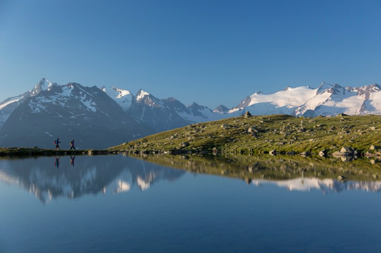
Wild landscapes and untamed nature – that is precisely what hikers can look forward to during this three-day hike through the Zillertal Alps, leading up over the Gamsschart and Keeskarscharte ridges into the Hohe Tauern National Park. This challenging route combining hiking and mountaineering requires a via ferrata set. Those with energy left to burn can include a number of peaks in their route such as the Richterspitze or the Roßkopf. One of the highlights is the new via ferrata (difficulty rating B/C, intermediate) leading up to the Gamsscharte ridge. Accommodation is provided in the Richterhütte and the Zittauer Hütte. The hike, which totals 31 kilometres, begins at the “Staukrone” bus stop in Zillergrund and ends in the village of Gerlos. From there, a bus takes you back to Mayrhofen.
8. Head for the Heights
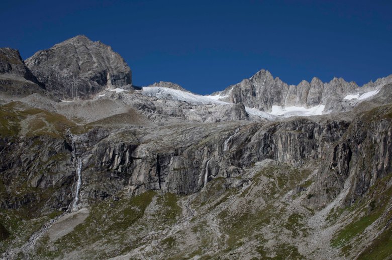
Taking hikers from the Pitztal Valley into the Kaunertal Valley in just two days, this high-alpine ridge crossing makes the most of the lifts and cable cars in the region. Having travelled up from the valley on the Riffelseebahn cable car, hikers follow the “Fuldaer Höhenweg” trail to the Taschachhaus refuge at 2,434 metres. After staying the night there and enjoying fine views of the Taschachferner glacier, the adventure continues the next day with an ascent of the Ölgrubenjoch, at almost 3,000 metres above sea level the highest point of the hike. Take a few moments to drink in the mountain views, including Tirol’s highest mountain, the Wildspitze. It is then time to descend into the Kaunertal Valley. Those with enough time and energy can add an extra day and explore some of the other trails in the area such as the “Gletscherlehrpfad” educational trail at the Gepatschferner glacier. Hikers travel to the starting point by bus from Imst to Mandarfen in the Pitztal Valley and return by bus from the Kaunertal Valley to the railway station in Landeck-Zams.
9. A Walk on the Sunny Side
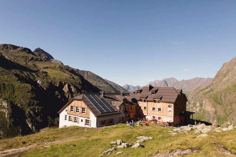
With its craggy peaks and blooming meadows, the Rofan Mountains high above the Inn Valley are a real treat for hikers. This two-day adventure begins in Kramsach and ends in Maurach, taking walkers right across the Rofan Mountains. There are additional options even further up, though these require a via ferrata set to access the area around the Ziereiner See lake at 1,800 metres above sea level. Accommodation is provided at the Sonnwendjochhaus – don’t forget to admire the spectacular sunset and sunrise from the large terrace. With 1,400 vertical metres of ascending, day one is challenging and requires good fitness levels. Day two leads past the Vorderes Sonnwendjoch mountain to the Erfurter Hütte hut. From there, hikers can walk or ride the cable car down to Maurach and then take the bus back to Kramsach. From the railway station in Kramsach, the journey back to Innsbruck takes just 45 minutes.
