Description
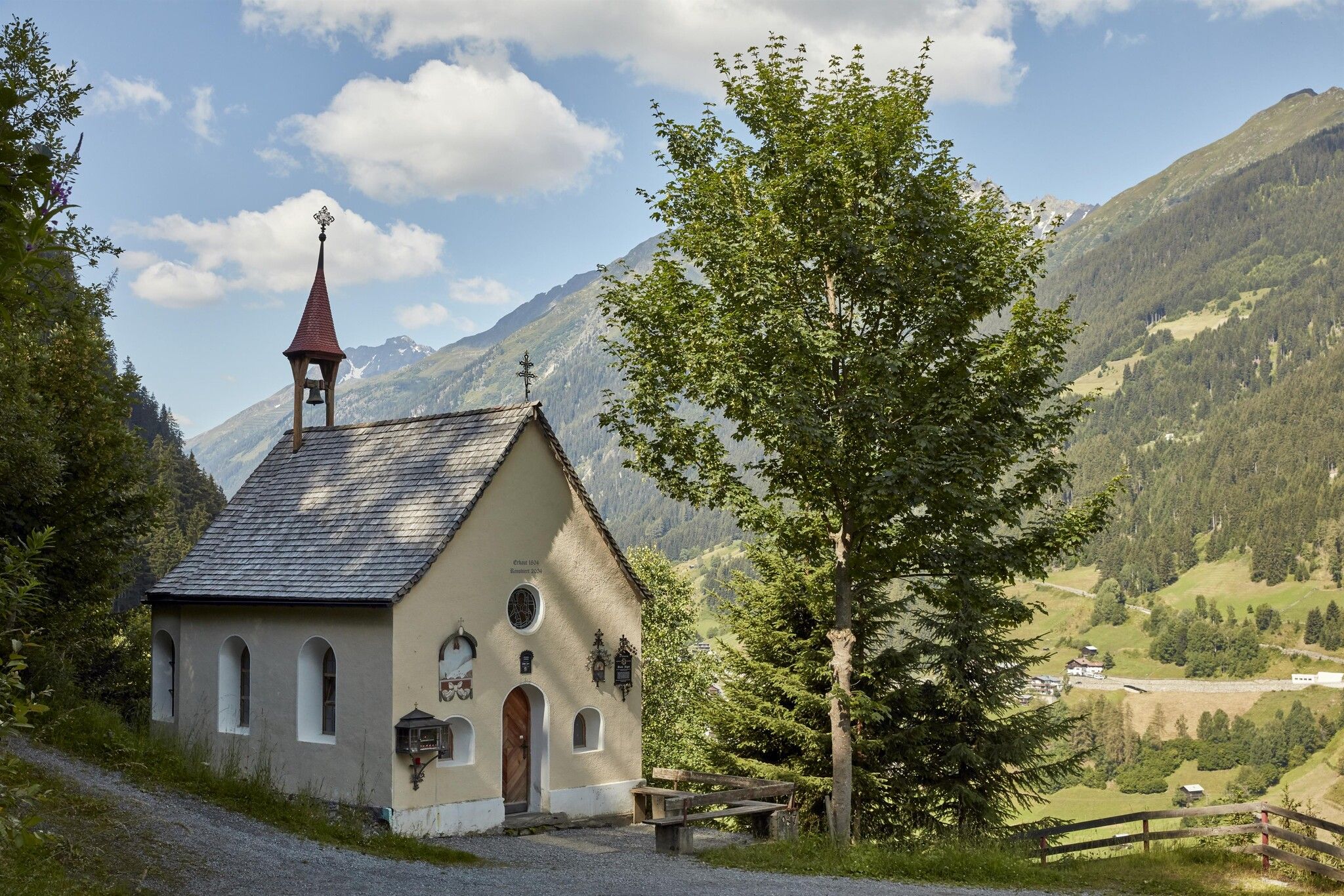
From the village square in Kappl, the route leads down to the Diasbahn valley station, where a wooden bridge is crossed towards Kohlplatz. The trail then follows forest road no. 17 through peaceful woodland to the chapel "Rotwegkapelle". If you wish, you can take a detour to the Visnitz waterfall. Afterwards, return along the forest road to the junction towards the hamlet Wiese. From there, the path continues along the forest edge with lovely views to the main road. At the Wiese turn-off, pass the chapel in Wiese and continue uphill to Hotel Edelweiß-Schlössl. The route then continues to the right past the chapel "Mariahilf-Kapelle" in Bach. The trail leads on through the hamlets Stiegenwahl and Höfen towards Tschatscha, passing the "Passionskreuz Höfen-Tschatscha" and continuing to the chapel in Bild before finally returning to Kappl village.
.jpg")
.jpg")


.jpg")


.jpg")
.jpg")
.jpg")
.jpg")
.jpg")

