

Place:Obergurgl
:Alpine pasture / hut / mountain restaurant
OBERGURGL -> Zirbenwald -> Schönwieshütte -> HANGERER
Moderate mountain path; suitable for sure-footed and experienced mountain hikers.
Good physical condition, mountain experience, and mountain equipment (see under Equipment) are necessary. Please check the current weather report at: https://www.oetztal.com/de/sommer.html.
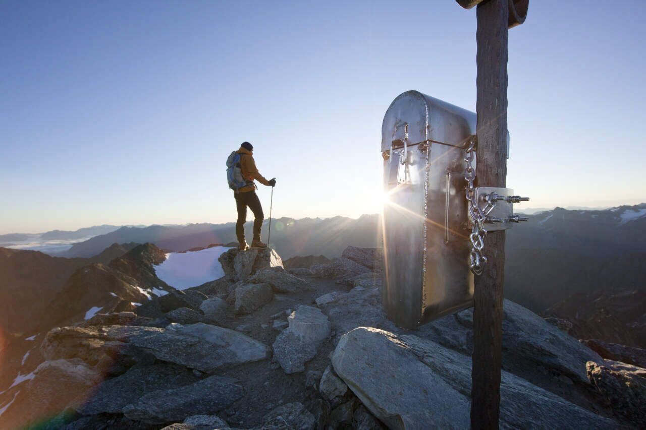
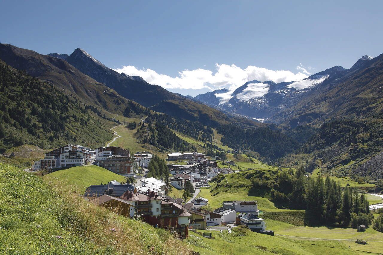
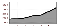
Appropriate equipment such as breathable and weather-appropriate outdoor clothing, ankle-high hiking boots, wind, rain and sun protection, a hat, possibly gloves, is required for all hikes and routes. Carrying a first aid kit, a mobile phone, and possibly a hiking map, as well as sufficient provisions for hikes without refreshment options, is necessary.From Obergurgl through the beautiful Zirbenwald to the Schönwieshütte. Over lush green meadows from the Schönwieshütte across rocky grassy slopes leads the hiking trail to the Hangerer. Below the summit, the hiker crosses a snowfield. But the ascent is worth it. You have a wonderful view of the Ötztal and South Tyrolean Alps.
Hiking time:
Travel comfortably and safely by train to the Ötztal train station. The final stop or exit point is the ÖTZTAL station. Afterwards, you can conveniently and quickly travel through the entire valley by public transport or local taxis to your desired destination! The current bus timetable is available at: http://fahrplan.vvt.at
Car travel to ÖTZTAL. Located in Tyrol, the ÖTZTAL branches southward as the longest side valley of the Eastern Alps. Car travelers reach the valley entrance via the Inn valley and continue along the Ötztal. In addition to the toll motorway, country roads can also be used. With the route planner, your drive can be quickly and conveniently planned: To the route planner: https://www.google.at/maps.
The following parking options are available in Gurgl:


