
Themed hikes Puzzle Trail Winkelberg - Längenfeld

Längenfeld / Ötztal Alps
Difficulty ratings: easy
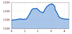
Route length: 4.4 km
Duration: 1:30 h

LÄNGENFELD/AU -> Winklen -> Puzzle Trail Winkelberg -> Winkelberg Lake -> Winklen -> LÄNGENFELD/AU

Tour information

  • Requirement: easy
  • Length: 4.4 km
  • Duration: 1:30 h
  • Elevation uphill:144 hm
  • Elevation downhill:142 hm
Highest point1,247 m

Starting point

Winklen/Au

Finishing point

Winklen/Au
  • Fitness level 2 / 6

Best time of year

  • January
  • February
  • March
  • April
  • May
  • June
  • July
  • August
  • September
  • October
  • November
  • December

Equipment

Easy hiking trail; suitable for beginners and walkers. Please pay attention to the current weather report.

Source: TVB Ötztal Tourismus

Description

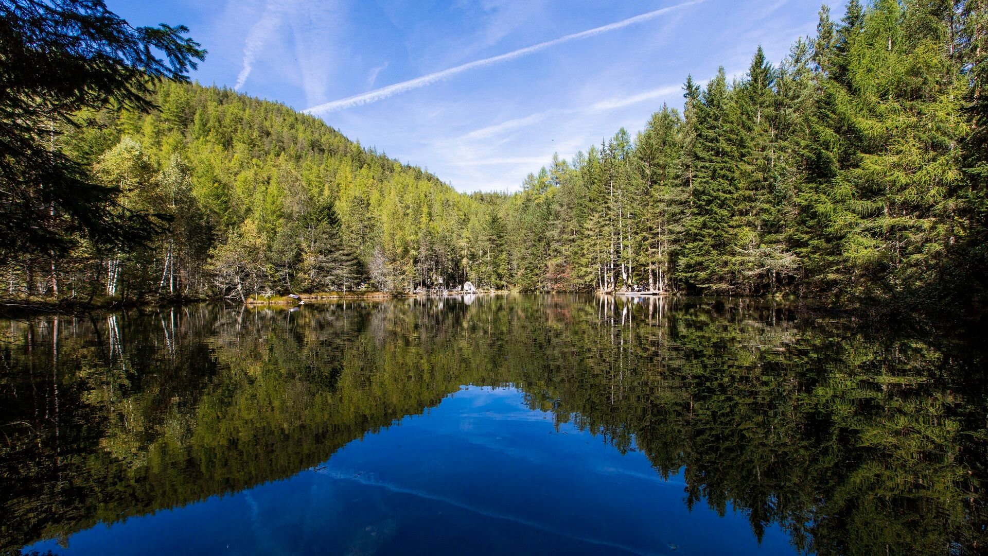
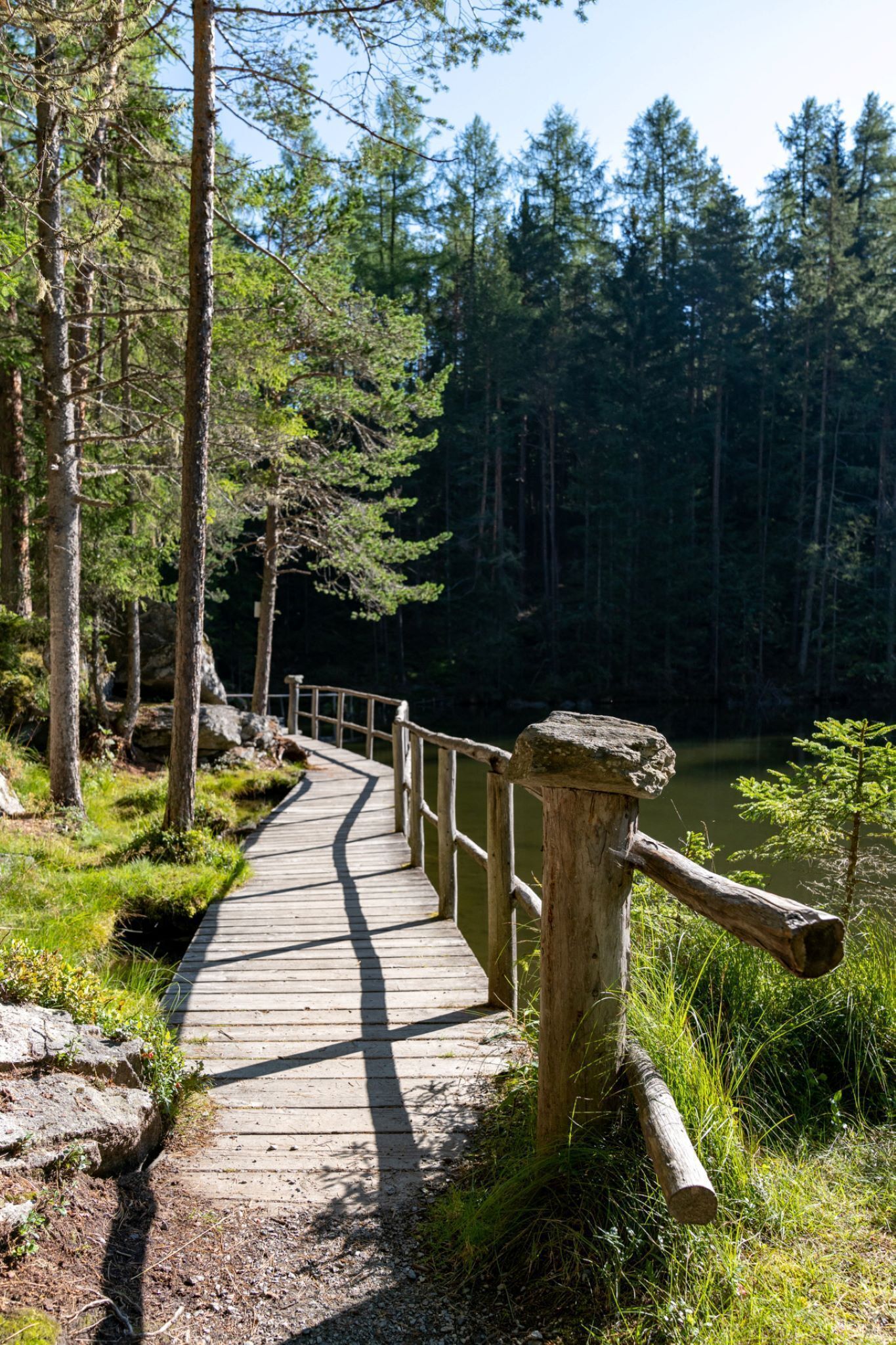
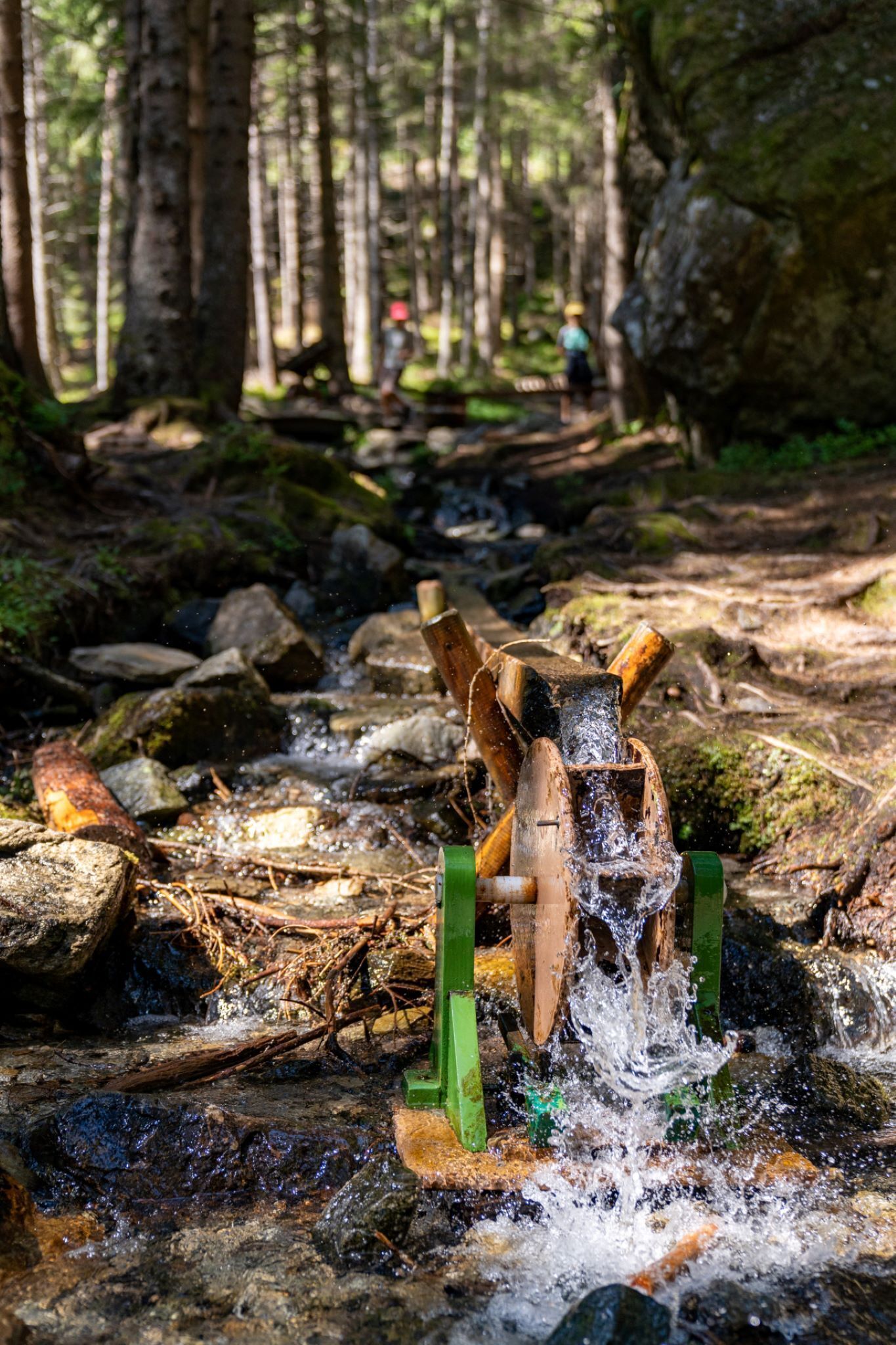
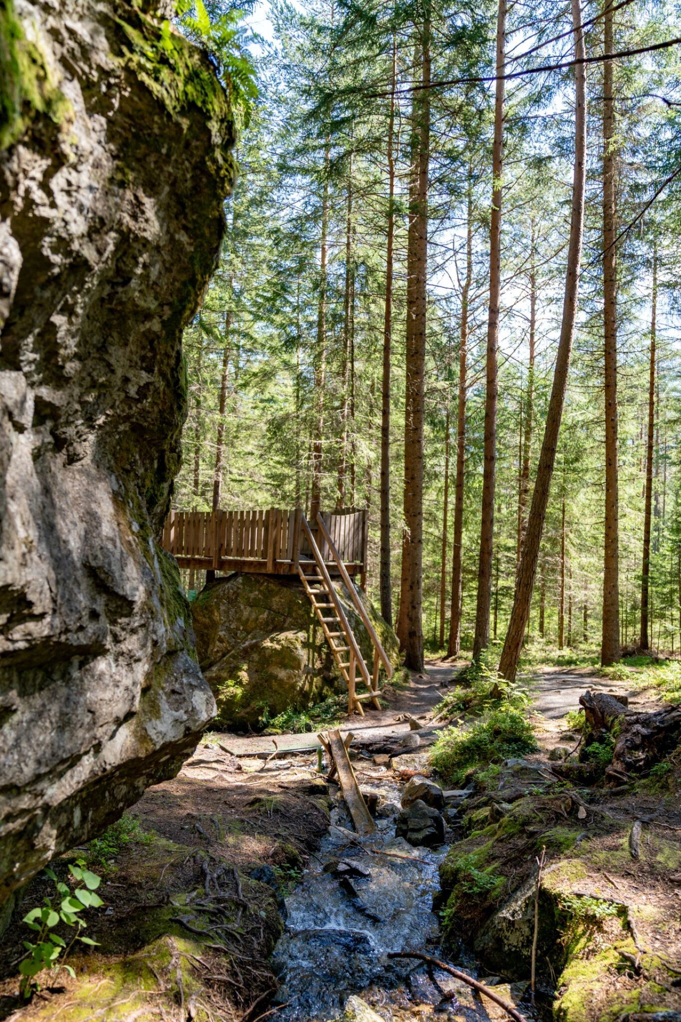
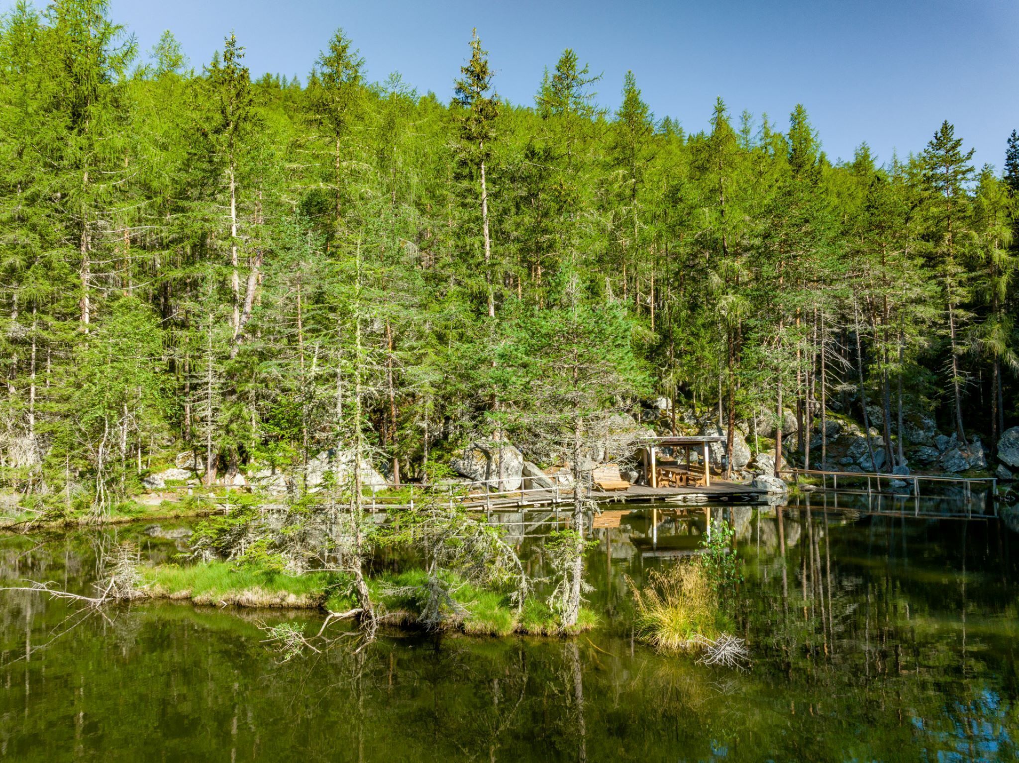
From the parking lot in Winklen/Au near Längenfeld, follow the road towards Winklen until you reach the signpost for the Puzzle Trail. The path initially leads through meadows but soon enters dense forest where towering granite boulders are scattered.Although the massive rockfall happened 10,000 years ago, its traces are still clearly visible today. Along the entire path, the geology is explained in a child-friendly way. A walkable witch's house is not missing in the "fairy tale forest." Directly at the lake, a natural water playground awaits that awakens the playful spirit in young and old. The descent leads back to Winklen via the forest road or a forest path.


Getting here

  • Arrival by public transport

    Travel comfortably and safely by train. The final stop or exit point is the ÖTZTAL train station. Afterwards, you can travel conveniently and quickly with public transport or local taxi companies through the entire valley to your desired destination. The current bus schedule is available at: fahrplan.vvt.at

  • Parking

    The car journey to ÖTZTAL

    Arriving by car takes visitors along the Inn Valley up to the entrance of the valley and then along the Ötztal. In addition to the toll motorway, country roads can also be used. You can quickly and conveniently plan your trip using the route planner. To the route planner: www.google.at/maps


    The following parking options are available in Längenfeld:

    Parking lot in Au in front of the bridge/Elektro Optimal - free of charge

More tours in the surrounding area

  • Ötztal Trek Stage 4

    Difficulty:difficult
    Length:8.9 kmDuration:4:00 hElevation uphill:802 m
  • Ötztal Trek Stage 3

    Difficulty:difficult
    Length:10.4 kmDuration:4:00 hElevation uphill:842 m
  • Ötztal Trek Stage 10

    Difficulty:difficult
    Length:11.1 kmDuration:4:30 hElevation uphill:1,476 m
  • Ötztal Trek Stage 8

    Difficulty:difficult
    Length:9.3 kmDuration:3:30 hElevation uphill:274 m
  • Ötztal Trek

    Length:246.4 kmDuration:84:25 hElevation uphill:18,910 m
  • Ötztal Trek Stage 20

    Difficulty:medium
    Length:6.4 kmDuration:3:00 hElevation uphill:610 m
  • Ötztal Trek Stage 11

    Difficulty:difficult
    Length:12.0 kmDuration:5:00 hElevation uphill:705 m
  • Ötztal Trek Stage 5

    Difficulty:difficult
    Length:8.1 kmDuration:3:30 hElevation uphill:1,105 m
  • Ötztal Trek Stage 6

    Difficulty:difficult
    Length:7.6 kmDuration:3:30 hElevation uphill:640 m
  • Ötztal Trek Stage 7

    Difficulty:difficult
    Length:5.3 kmDuration:2:00 hElevation uphill:376 m
  • Ötztal Trek Stage 17

    Difficulty:difficult
    Length:16.4 kmDuration:6:00 hElevation uphill:1,080 m
  • Ötztal Trek Stage 16

    Difficulty:difficult
    Length:6.9 kmDuration:2:30 hElevation uphill:358 m
  • Ötztal Trek Stage 1

    Difficulty:medium
    Length:18.6 kmDuration:6:30 hElevation uphill:1,561 m
  • Ötztal Trek Stage 14

    Difficulty:difficult
    Length:6.3 kmDuration:3:00 hElevation uphill:1,004 m
  • Ötztal Trek Stage 12

    Difficulty:difficult
    Length:4.8 kmDuration:2:00 hElevation uphill:592 m
  • Ötztaler Urweg

    Difficulty:difficult
    Length:177.2 kmDuration:60:49 hElevation uphill:7,541 m
  • Ötztal Trek Stage 22

    Difficulty:difficult
    Length:21.5 kmDuration:8:00 hElevation uphill:647 m
  • Ötztal Trek Stage 21

    Difficulty:difficult
    Length:9.4 kmDuration:4:30 hElevation uphill:1,270 m
Newsletter

The mountain is calling? So does our newsletter!

In our monthly newsletter we reveal the best holiday tips for Tyrol.
