Mountain hikes Rundwanderweg über Bergen und Rals nach Obertilliach

Obertilliach / Gailtaler Alpen
Difficulty ratings: easy
Route length: 5.2 km
Duration: 1:00 h

Rundwanderweg über Bergen und Rals nach Obertilliach

Tour information

  • Requirement: easy
  • Length: 5.2 km
  • Duration: 1:00 h
  • Elevation uphill:230 hm
  • Elevation downhill:230 hm
Highest point1,520 m
  • Fitness level 1 / 6
  • Technique 1 / 6

Features

  • Circular route
  • Suitable for families

Best time of year

  • January
  • February
  • March
  • April
  • May
  • June
  • July
  • August
  • September
  • October
  • November
  • December
Source: Hochpustertal

Description

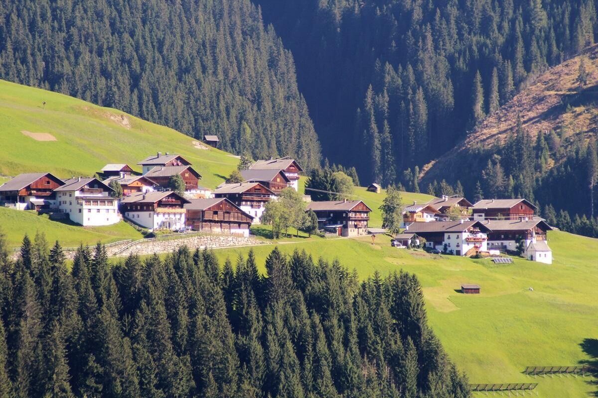
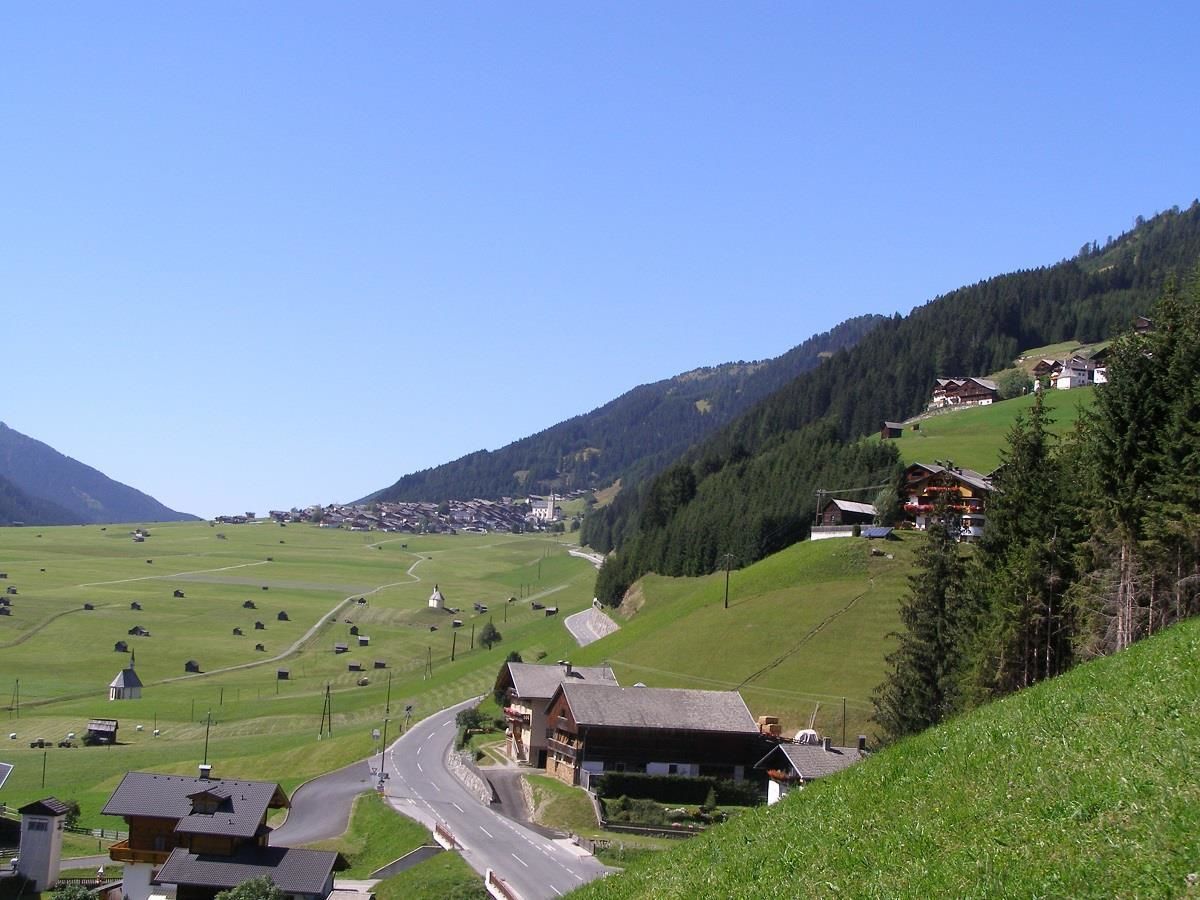
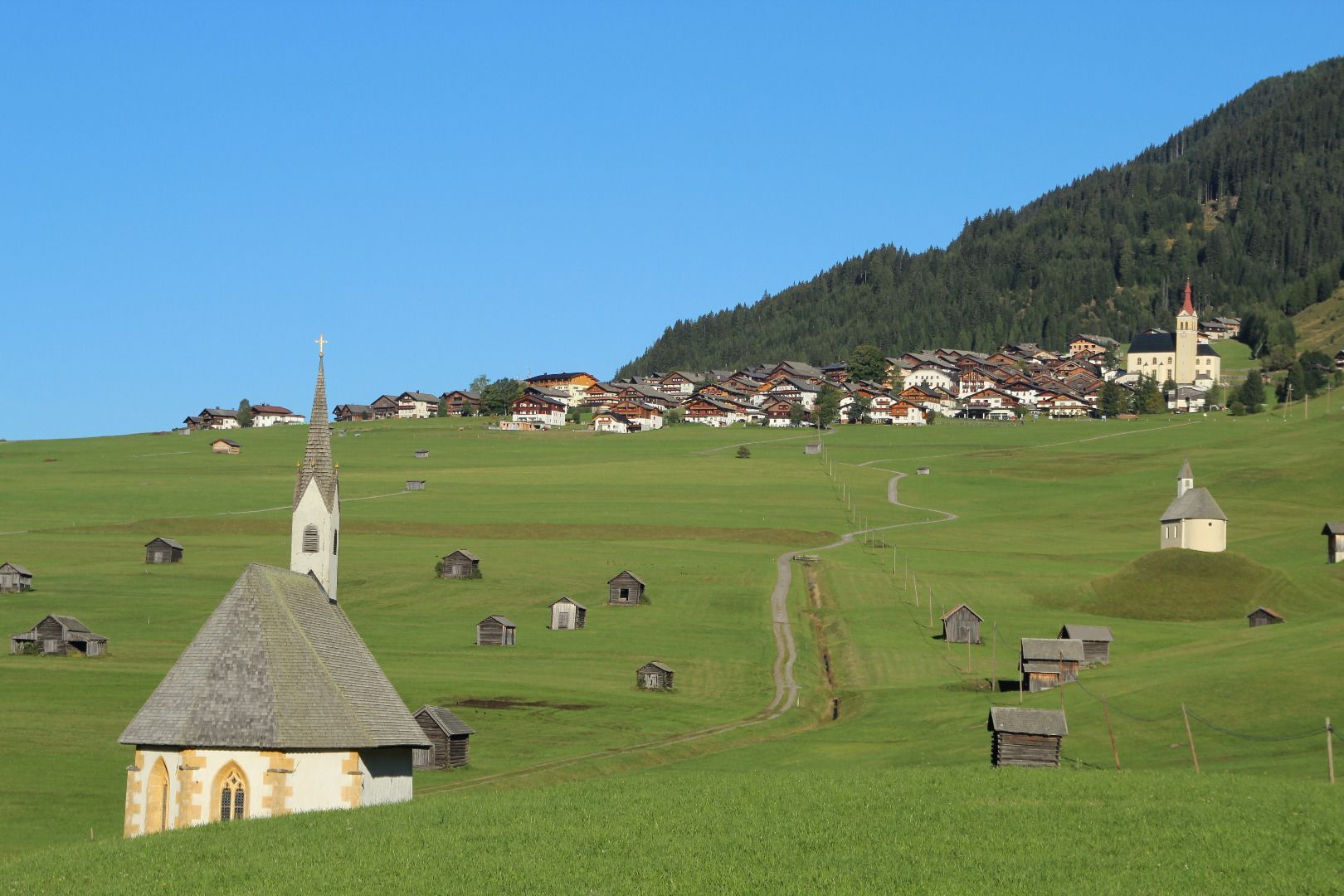
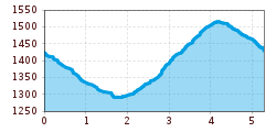
Easy circular hike trough the fields of Obertilliach. After passing the two chapels called St.Helena and St.Nikolaus we have arrived at a another part of Obertilliach called "Bachhäusl". Now we have to follow a trail which leads us directly to Rals. If you feel the urge to eat or drink something you can do that at the "Jausenstation Mitterdorfer". After that, we follow a trail until we reach Obertilliach again. 

Getting here

  • Parking

    Parkplatz Obertilliacher Bergbahnen

More tours in the surrounding area

Newsletter

The mountain is calling? So does our newsletter!

In our monthly newsletter we reveal the best holiday tips for Tyrol.