Mountain hikes Steinrastl 2184 m

Obertilliach / Gailtaler Alpen
Difficulty ratings: easy
Route length: 6.5 km
Duration: 4:30 h

Steinrastl 2184 m

Tour information

  • Requirement: easy
  • Length: 6.5 km
  • Duration: 4:30 h
  • Elevation uphill:710 hm
  • Elevation downhill:700 hm
Highest point2,184 m

Starting point

Bergen/Flatsch

Finishing point

Steinrastl
  • Fitness level 3 / 6
  • Technique 2 / 6

Features

  • Suitable for families

Best time of year

  • January
  • February
  • March
  • April
  • May
  • June
  • July
  • August
  • September
  • October
  • November
  • December

Trail condition

Schotterweg, im Gipfelbereich Bergwiesencharakter

Equipment

Wanderausrüstung, Regenschutz
Source: Hochpustertal

Description

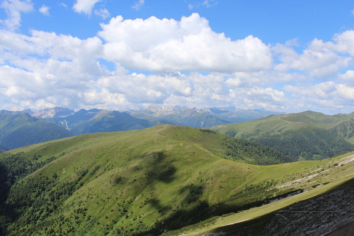
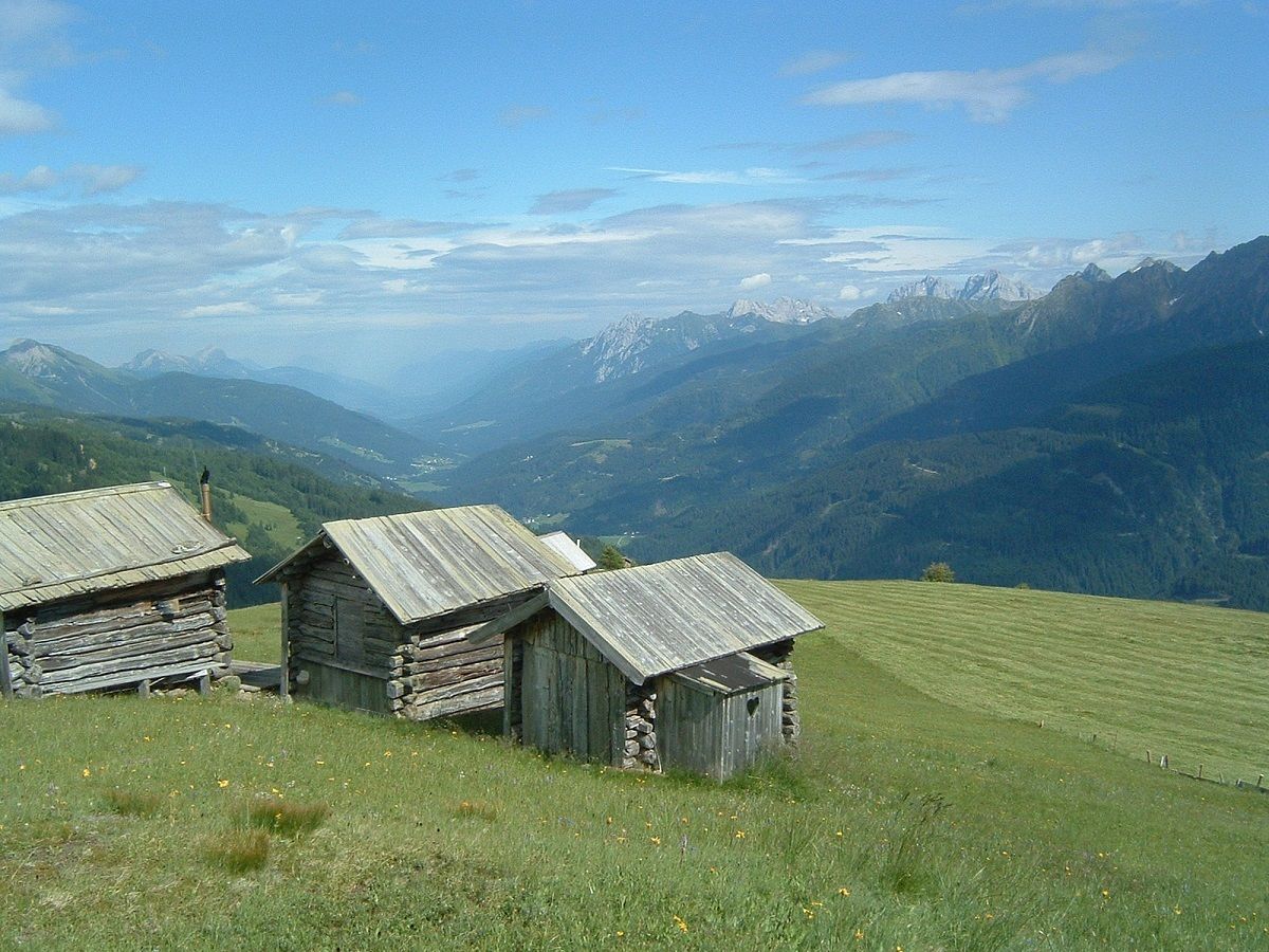
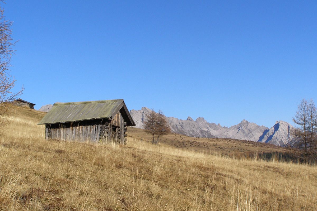
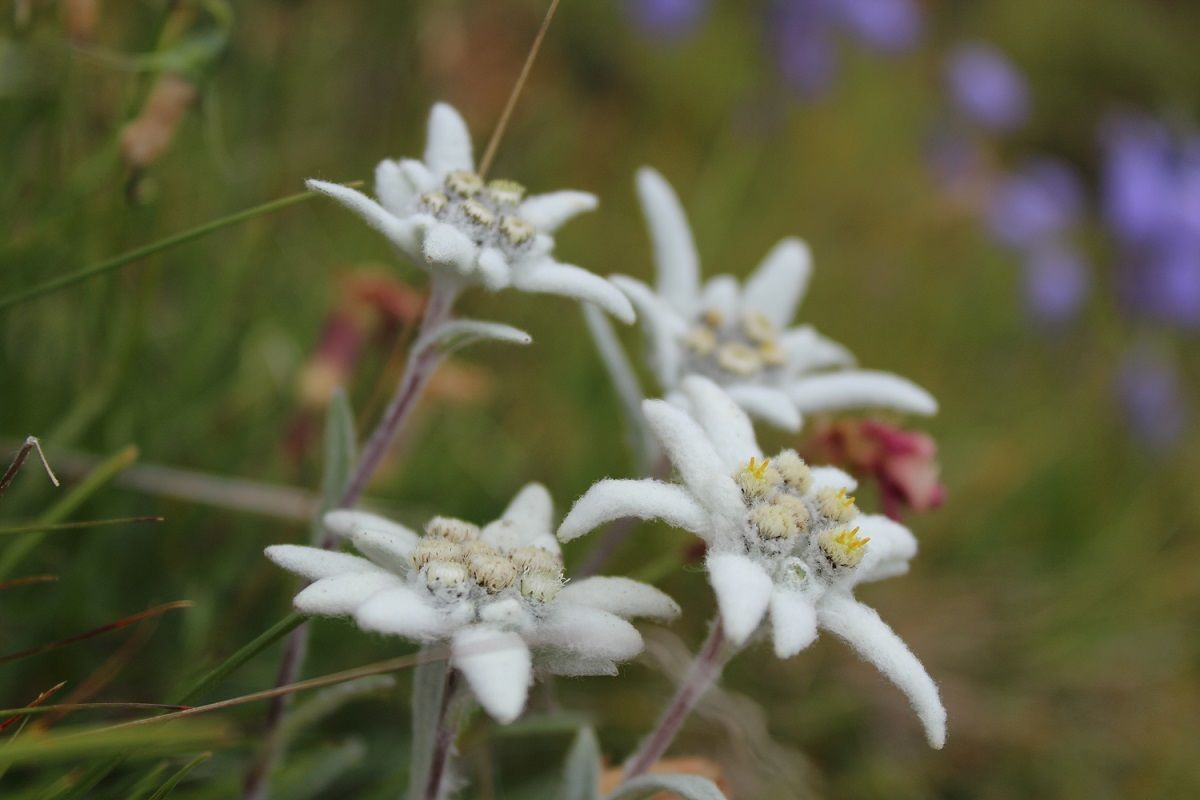
An asphalt road proceeds to the hamlet of Flatsch in the parish of Bergen. It is recommended that you leave your car here and continue hiking via the forest trail (only authorised personnel are permitted to drive here). For the most part through shaded woodland, this trail proceeds up to the mown mountain pastures in the summer months. Lush blossoms flourish here, as they do on almost all the sunny mountain slopes. You get to the Steinrastl via a relatively flat mountain ridge.

Getting here

  • Arrival by public transport

    Mit dem Bus bis zur Haltestelle "Obertilliach Bergen"

More tours in the surrounding area

Newsletter

The mountain is calling? So does our newsletter!

In our monthly newsletter we reveal the best holiday tips for Tyrol.