Mountain hikes To the crocus bloom on the Walderalm

Geselhaus / Karwendel
Difficulty ratings: medium
Route length: 9.4 km
Duration: 4:30 h

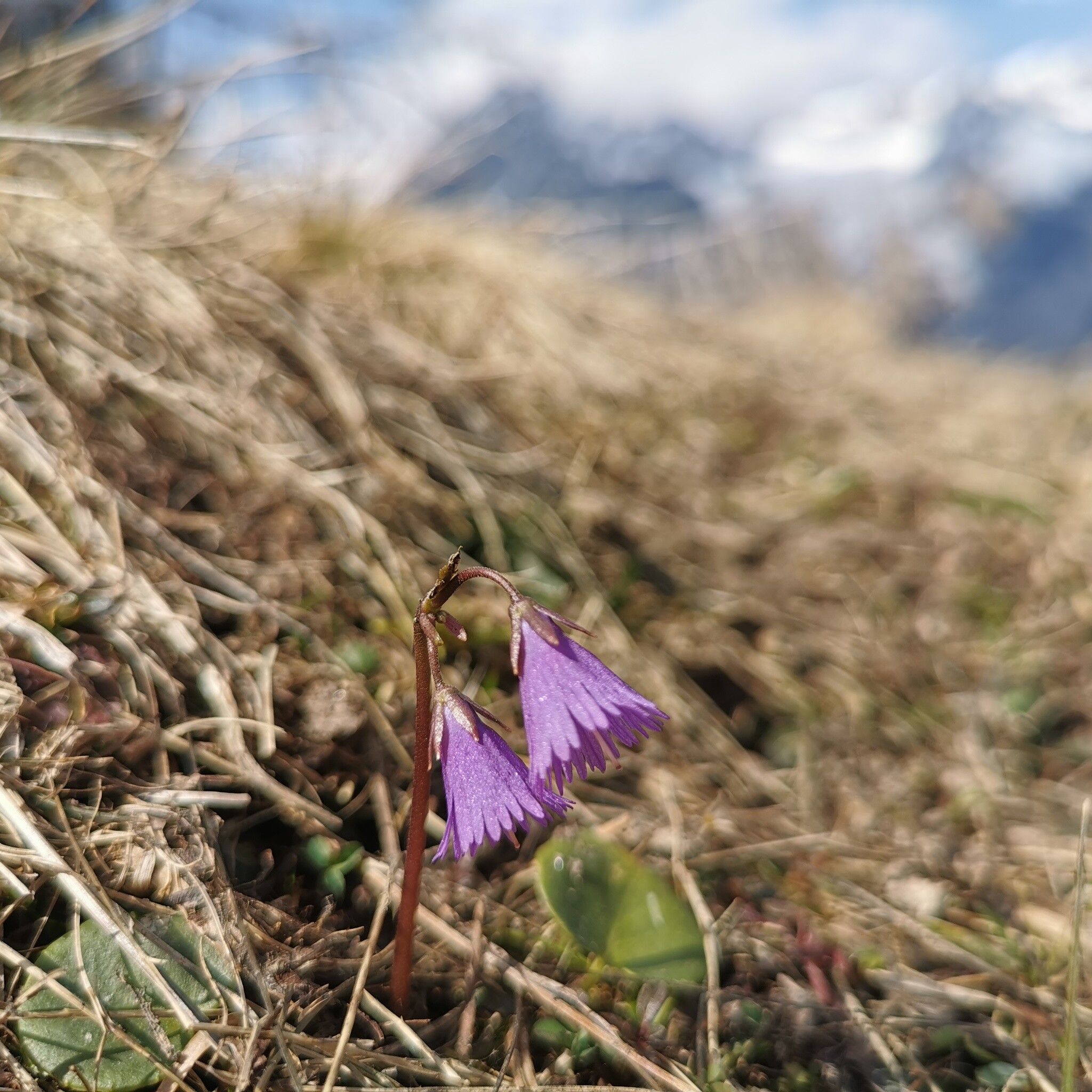
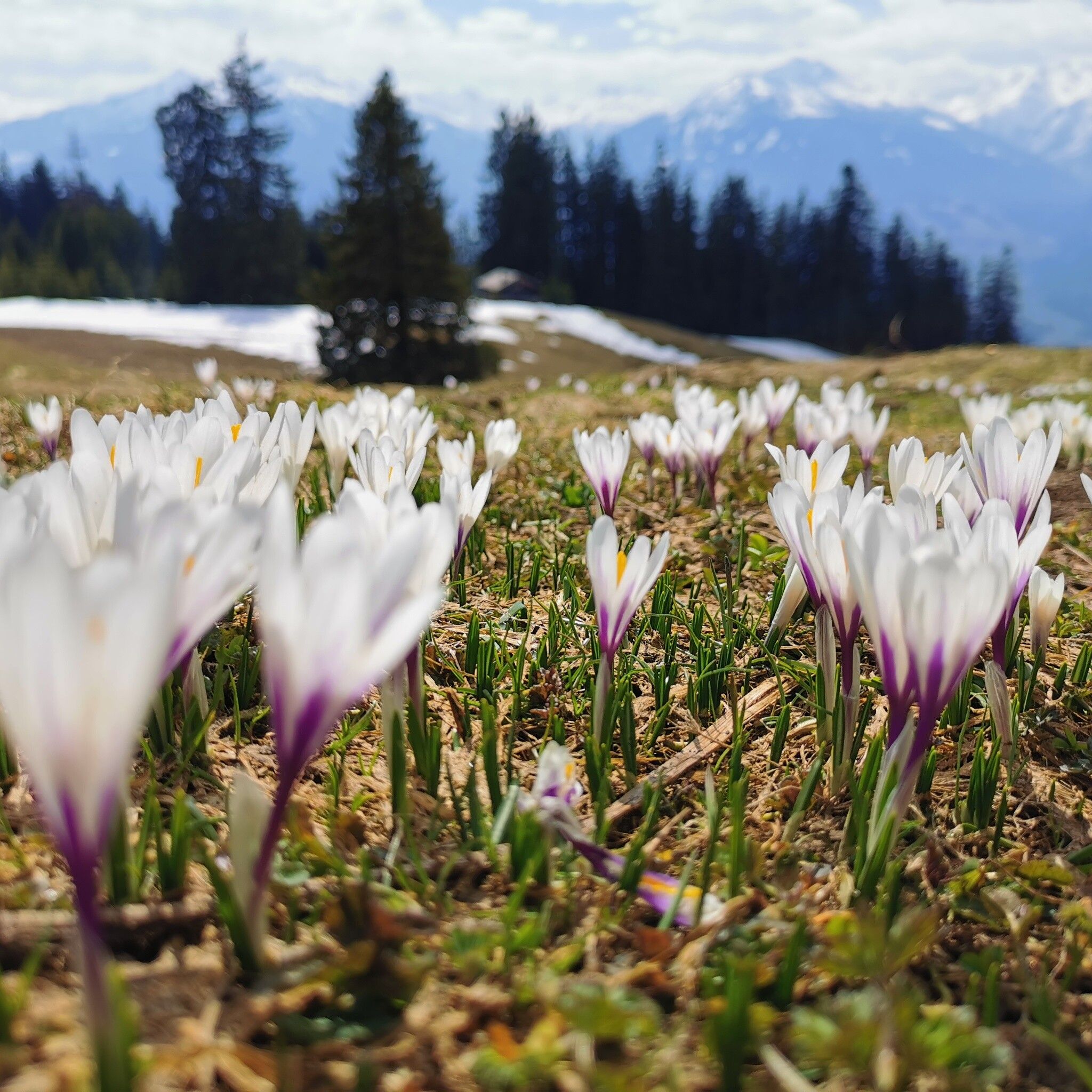
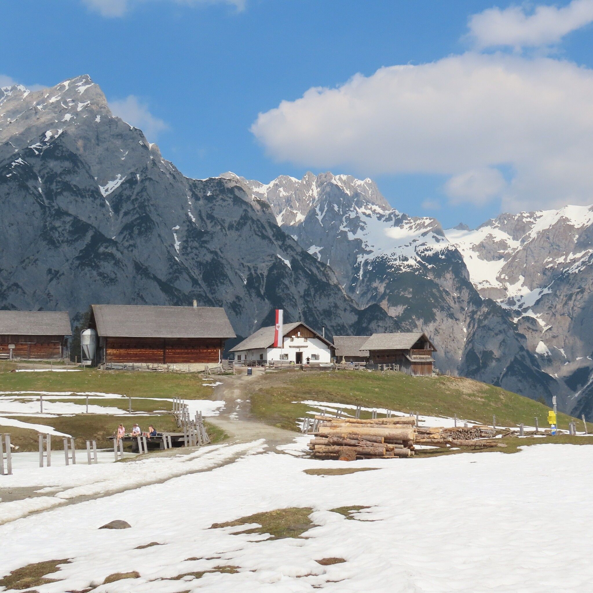
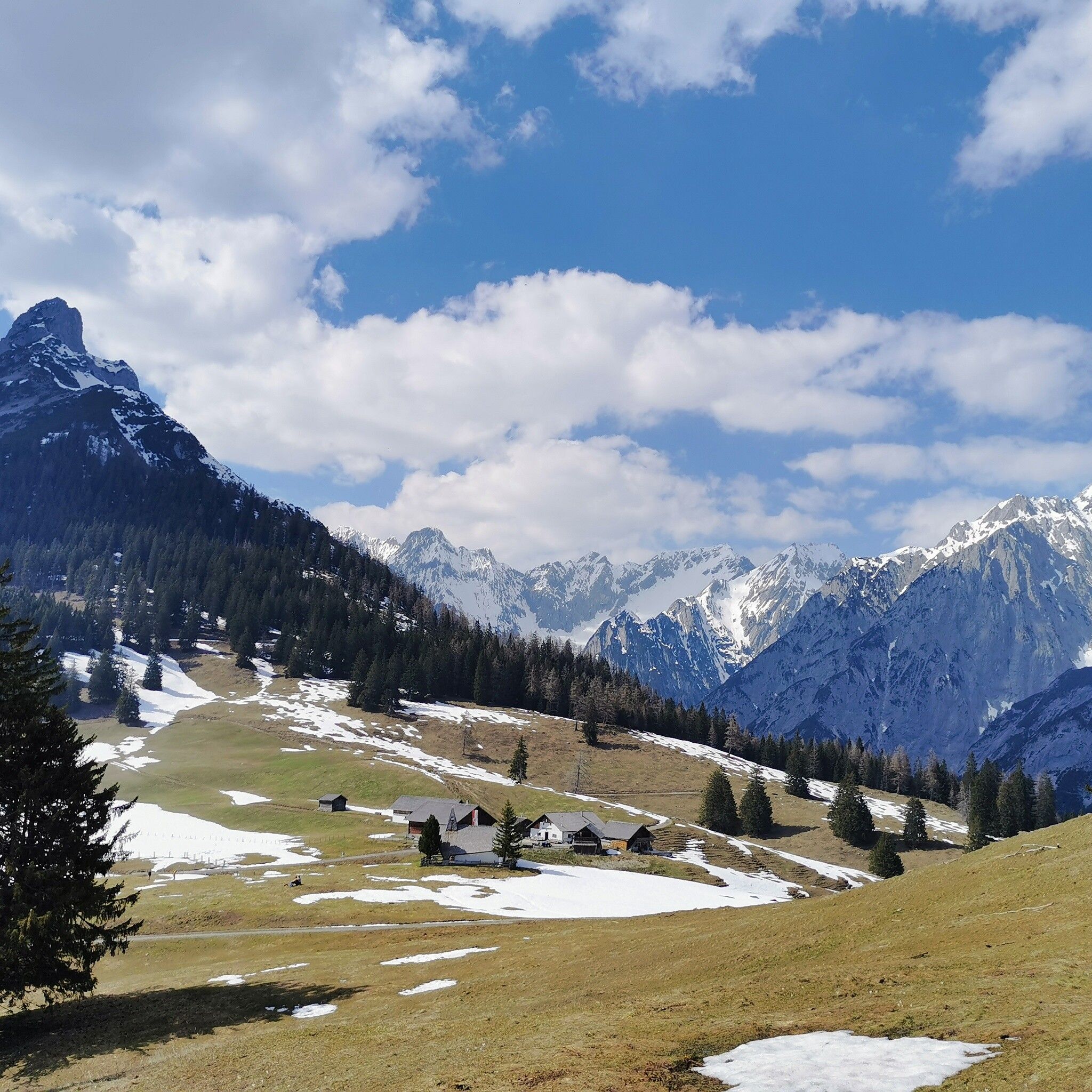
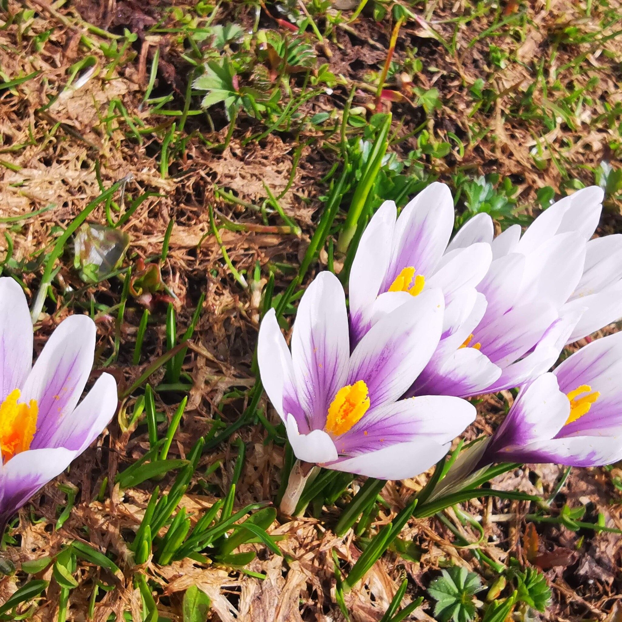
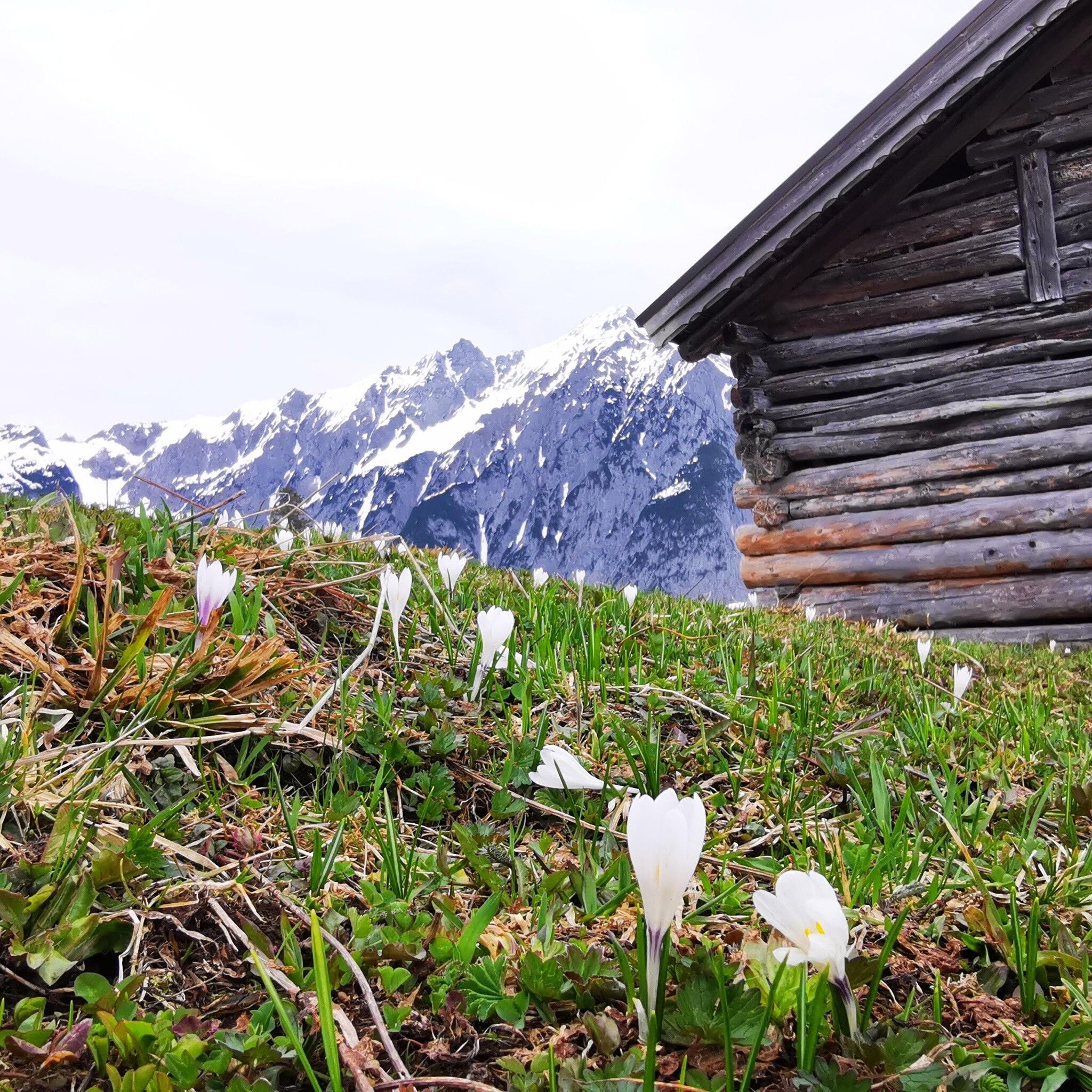
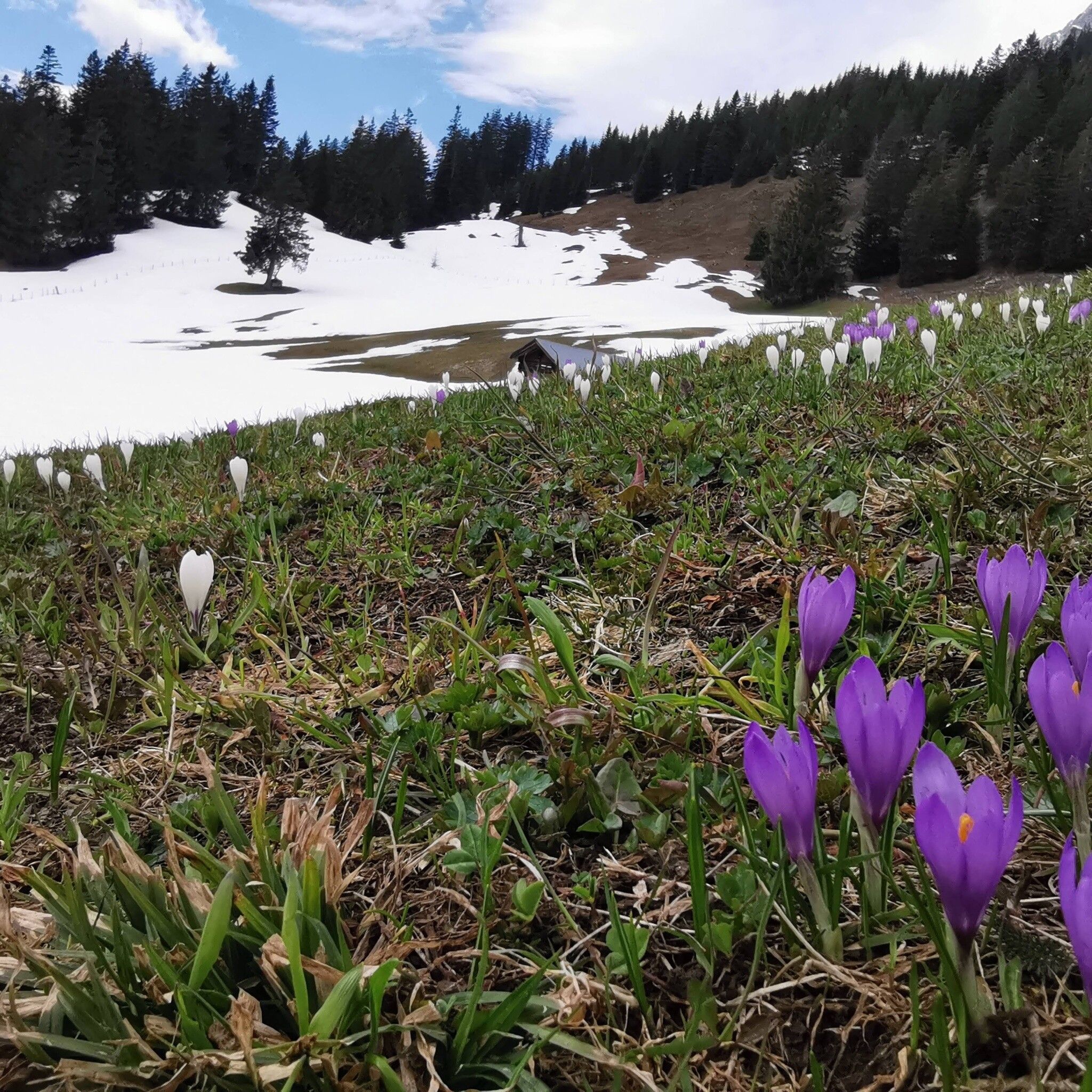
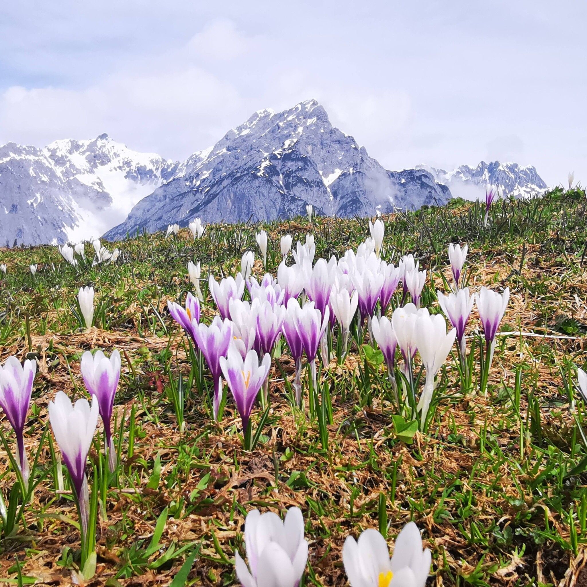
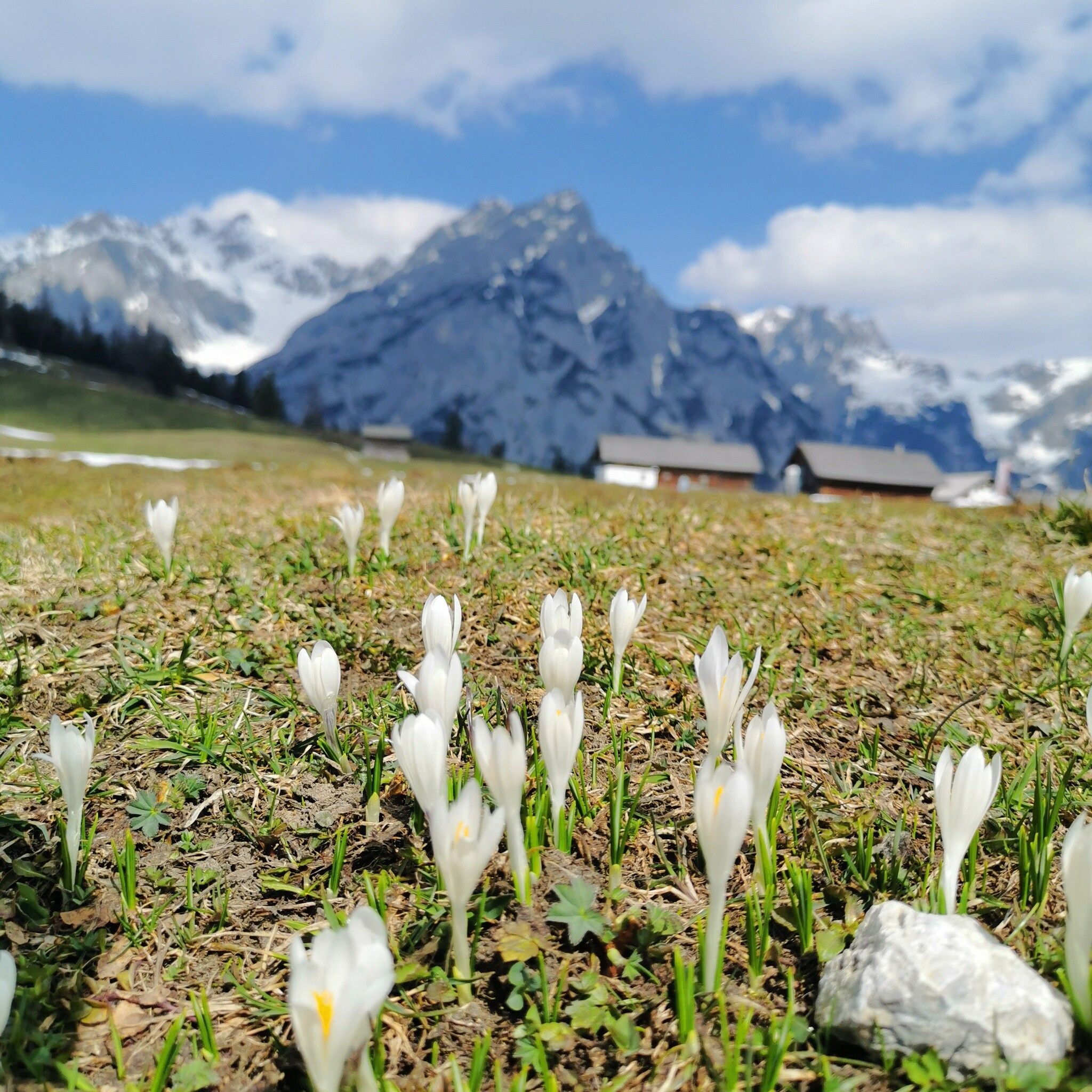
One moment you are in the wide Inn Valley, the next you are standing in front of the wild Karwendel peaks in amazement. The Walder Alm is a real dream place, the contrast between the lovely alpine landscape and the ruggedness of the Karwendel is almost unbelievable. And such a rustic alpine pasture that you almost feel like you're in a heidi movie. In spring, the alpine meadows are in full crocus bloom.

Tour character

On a partly steep forest path, you reach the alpine meadows of the Walder Alm, which is strenuous but not difficult, and suddenly the view of the Karwendel becomes clear. Towards the south, you can see far across the Inn Valley into the Tux Alps. In spring, you can enjoy the south-facing aspect and the splendor of the crocuses on the alpine meadows. In summer, the tour can be extended via the Garnalm or even to the Hundskopf (short via ferrata). The Walder Alm offers excellent food, the Kaspressknödel dumplings are known far beyond Gnadenwald. The ascent to the Alm can also be shortened via the toll road to the Hinterhornalm (note the opening times of the toll road).
Tour information

  • Requirement: medium
  • Length: 9.4 km
  • Duration: 4:30 h
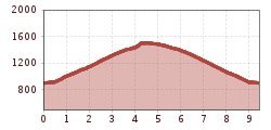
  • Elevation uphill:619 hm
  • Elevation downhill:620 hm
Highest point1,502 m

Starting point

Gnadenwald, St. Michael

Finishing point

Gnadenwald, Walderalm
  • Fitness level 3 / 6

Best time of year

  • January
  • February
  • March
  • April
  • May
  • June
  • July
  • August
  • September
  • October
  • November
  • December
Source: Hall Wattens

Description

From St. Michael on the Gnadenwald plateau up to the Walderalm, there opens a view of the Karwendel and the Inn Valley.


Nearby huts and mountain restaurants

Getting here

  • Arrival by public transport

    Line 3 stop Gnadenwald/Kranzach

    Line 3

  • Parking

    Hall Mitte - Absam – Gnadenwald


    Parking options are directly at the starting point.

Weather

Today

cloudy
14°C/1°C
45%2l5 km/h

Thu

clear sky
12°C/3°C
0%0l5 km/h

Fri

clear sky
10°C/1°C
0%0l5 km/h
Go to weather forecast

More tours in the surrounding area

  • Figerhorn

    Difficulty:difficult
    Length:6.6 kmDuration:6:00 hElevation uphill:811 m
  • Lasörling altitude trail

    Difficulty:medium
    Length:55.4 kmDuration:25:00 hElevation uphill:3,718 m
  • Venediger altitude trail

    Difficulty:difficult
    Length:55.5 kmDuration:27:00 hElevation uphill:3,975 m
  • Theme path "Virgen crossroads"

    Difficulty:easy
    Length:3.2 kmDuration:1:00 hElevation uphill:104 m
  • Herz-Ass Villgratental

    Difficulty:medium
    Length:75.6 kmDuration:34:00 hElevation uphill:5,703 m
  • Muhs panorama trail

    Difficulty:medium
    Length:15.2 kmDuration:6:00 hElevation uphill:1,090 m
  • Böses Weibele

    Difficulty:medium
    Length:13.6 kmDuration:6:30 hElevation uphill:965 m
  • Lucknerhaus - Stüdlhütte

    Difficulty:medium
    Length:9.3 kmDuration:4:30 hElevation uphill:862 m
  • Iseltrail

    Difficulty:medium
    Length:75.3 kmDuration:24:30 hElevation uphill:2,347 m
  • Hiking tour to St. Pöltner Hütte and 3 lakes

    Difficulty:difficult
    Length:14.8 kmDuration:7:40 hElevation uphill:1,119 m
  • Trail Virgentaler Sonnseitenweg

    Difficulty:medium
    Length:41.9 kmDuration:1 dayElevation uphill:2,641 m
  • Badener Hütte

    Difficulty:difficult
    Length:23.2 kmDuration:12:00 hElevation uphill:1,754 m
  • Hike to Neuen Reichenberger Hütte

    Difficulty:medium
    Length:18.2 kmDuration:9:00 hElevation uphill:1,252 m
  • Hiking tour to Lasörlinghütte 2.350m

    Difficulty:medium
    Length:14.6 kmDuration:7:50 hElevation uphill:1,135 m
  • The Höfe Trail

    Difficulty:easy
    Length:51.2 kmDuration:10:15 hElevation uphill:1,988 m
  • Hike to Kalser Tauernhaus

    Difficulty:medium
    Length:12.2 kmDuration:4:00 hElevation uphill:244 m
  • Hiking tour to Neue Sajathütte 2.600m

    Difficulty:medium
    Length:10.3 kmDuration:6:50 hElevation uphill:1,086 m
  • Hiking tour to Zupalsee Hütte 2.350m

    Difficulty:medium
    Length:14.9 kmDuration:8:30 hElevation uphill:1,261 m
Newsletter

The mountain is calling? So does our newsletter!

In our monthly newsletter we reveal the best holiday tips for Tyrol.