
Opening hours:Open today
Place:Sölden
:Alpine pasture / hut / mountain restaurant
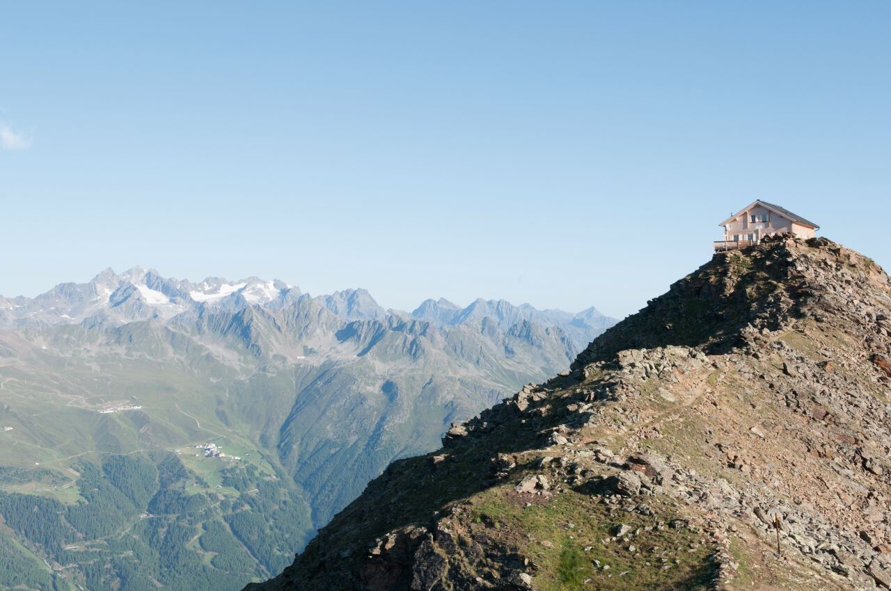
TIMMELSJOCH -> BRUNNENKOGELHAUS

Suitable for climbers free from fear of heights, sure-footed and alpine experienced; very good physical condition, alpine experience and mountaineering equipment (see under equipment), occasionally alpine safety gear, good weather conditions recommended. Please observe the current weather report at: www.oetztal.com/de/sommer.html
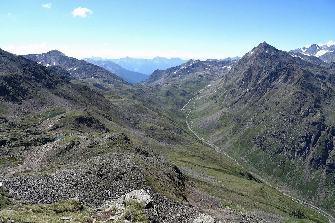
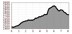
Appropriate equipment such as breathable and weather-appropriate outdoor clothing, ankle-high hiking boots, wind, rain and sun protection, a hat, and possibly gloves are required for all hikes and routes. Taking a first aid kit, a mobile phone, and possibly a hiking map, as well as sufficient provisions when there is no possibility to stop for food, is necessary.From the Timmelsjoch rest house at 2,474 m elevation, the path initially gently ascends to the north. The trail passes small, crystal-clear water pools and crosses the Wietenkar and then the Rötenkar in succession before reaching the lower Wannenkar.
The next ascent to the Wannenkarsattel (2,916 m) requires some stamina – but the strenuous climb is rewarded with a breathtaking view of the deep blue Wannenkar lake.
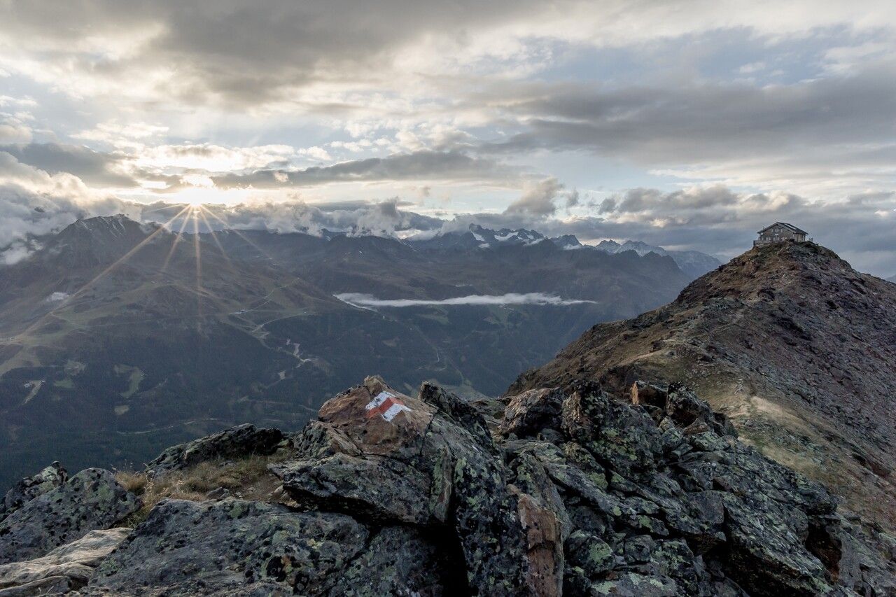
The path now runs spectacularly along the ridge to the Wilden Röte Spitze (2,966 m), the highest point of this impressive panoramic stage.
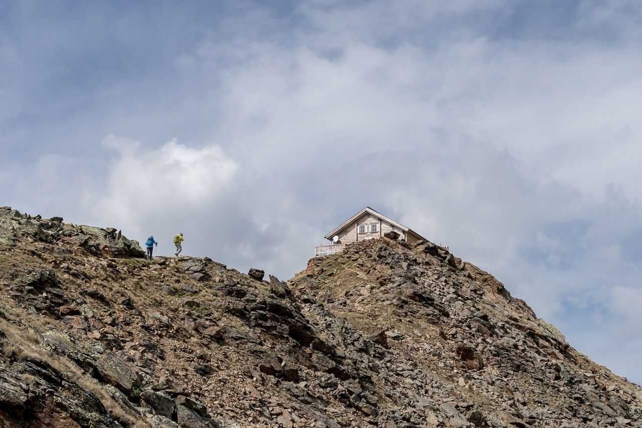
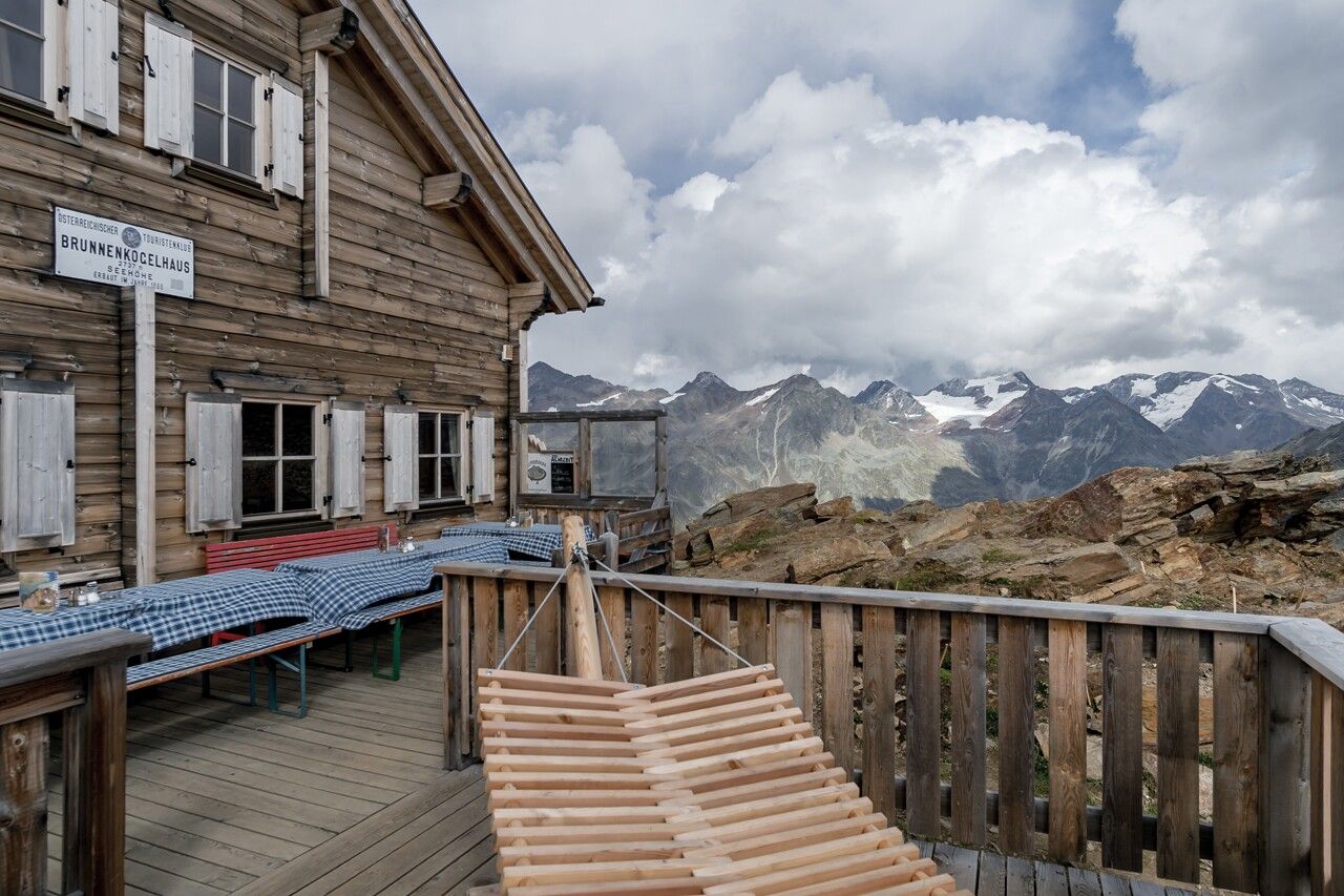
Afterwards, it continues to the Rotkogl (2,894 m). Over the rear and front Brunnenkogel, the path finally leads to the Brunnenkogelhaus at 2,738 m.
The exposed passages on the ridge are secured with iron chains and easy to walk.
Travel comfortably and safely by train to the Ötztal station. The final stop or exit point is the ÖTZTAL station. Afterwards, you can travel conveniently and quickly with public transport or local taxi companies through the entire valley to your desired destination! The current bus schedule is available at: http://fahrplan.vvt.at
The following parking options are available in Obergurgl-Hochgurgl:


