Themed hikes Treasure Hunt Hochoetz

Oetz / Stubai Alps
Difficulty ratings: easy
Route length: 1.9 km
Duration: 1:00 h

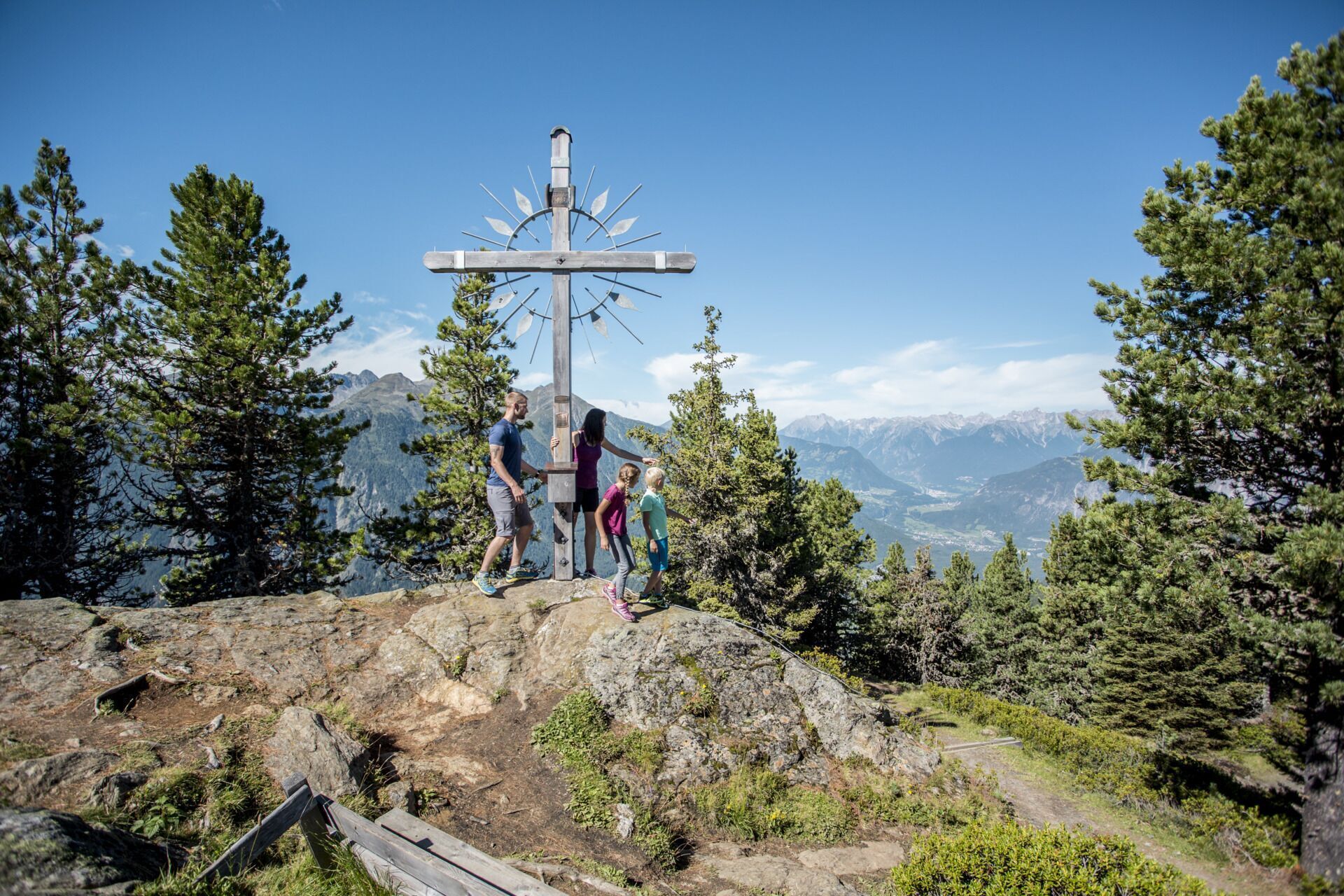
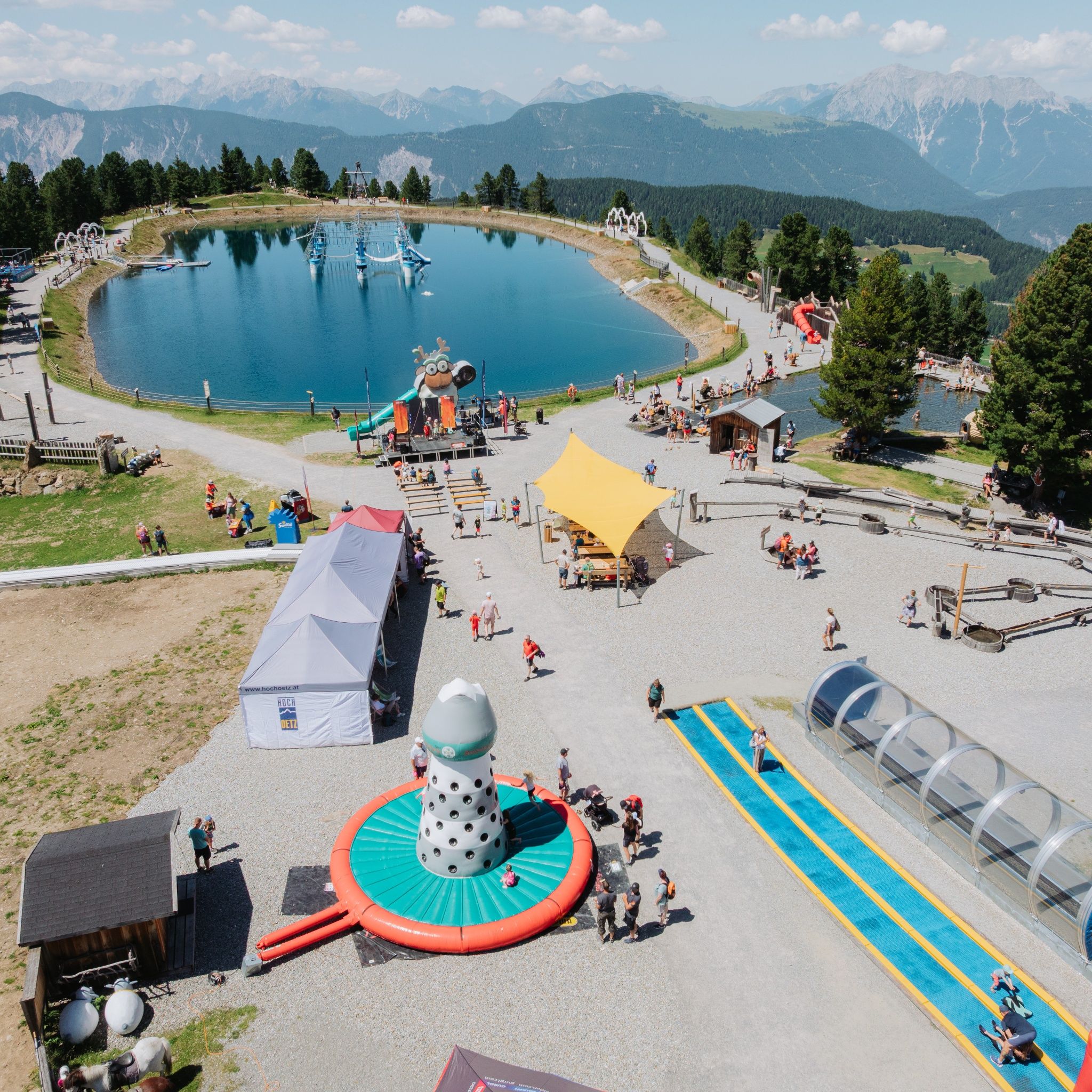
A short hike in Hochoetz past the WIDIVERSUM towards the Rote Wandl viewpoint. A slight descent on a small footpath leads to the Kühtaile Alm and then back to the cable car.
Tour information

  • Requirement: easy
  • Length: 1.9 km
  • Duration: 1:00 h
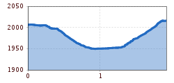
  • Elevation uphill:70 hm
  • Elevation downhill:61 hm
Highest point2,017 m

Starting point

Acherkogel cable car

Finishing point

Panoramic restaurant Hochoetz
  • Fitness level 2 / 6

Best time of year

  • January
  • February
  • March
  • April
  • May
  • June
  • July
  • August
  • September
  • October
  • November
  • December

Equipment

Hiking boots

Source: TVB Ötztal Tourismus

Description

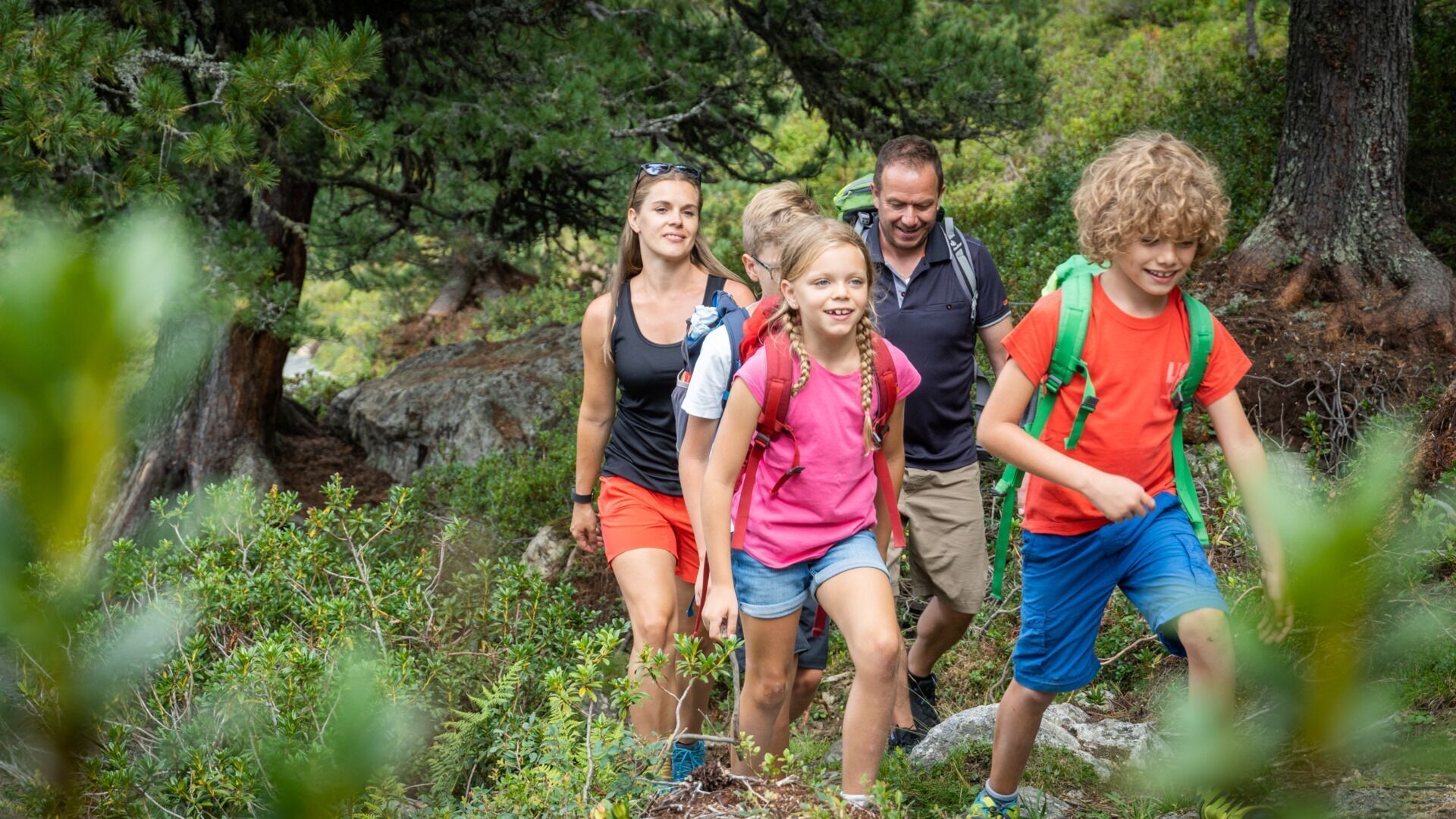
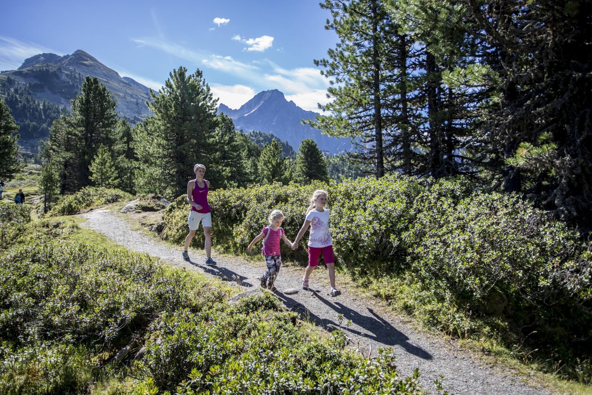
The route is very well suited for families with children.

Treasure Hunt Hochoetz

In Hochoetz, an exciting discovery journey awaits you through the beautiful alpine landscape of Hochoetz over the 'Rote Wandl' (viewpoint). Here you can hike the treasure route to find the treasure of Hochoetz. Along the route, spot the little caches behind stones, on trees, and other unusual spots, which will give you access to the treasure of Hochoetz.

So, how does this treasure hunt up in the mountains work?

The treasure hunt Hochoetz consists of 5 caches. In each container, there is a note with secret letters. Remember or write down all letters because only those who have all the letters can form the codeword. With this codeword, you can pick up a gift at the Panoramarestaurant! (up to 15 years old). The hiking trail to Rote Wandl is prepared as a winter hiking trail.

The starting point for the round is the mountain station of the Acherkogel gondola in Hochoetz. Attention: observe operating times (found at www.hochoetz.at). The cable car runs approximately from early June to mid-October and from mid-December to mid-April.

As long as there is no snow at 2,000 meters, you can also reach Hochoetz on foot from the village of Ochsengarten (9 km above Oetz) along the forest road and complete the round.


Nearby huts and mountain restaurants

Getting here

  • Arrival by public transport

    Take the bus to the Acherkogelbahn stop - from there take the cable car directly to the start

  • Parking

    On the B186 towards Oetz to the Acherkogelbahn


    Directly at the Acherkogelbahn (fee required)

Weather

Today

clear sky
22°C/7°C
0%0l5 km/h

Sun

mainly clear
23°C/9°C
15%0l5 km/h

Mon

partly Cloudy
19°C/9°C
10%0l5 km/h
Go to weather forecast

More tours in the surrounding area

  • Siegerlandhütte - Sölden

    Difficulty:medium
    Length:8.0 kmDuration:3:30 hElevation uphill:780 m
  • Ötztal Trek Stage 4

    Difficulty:difficult
    Length:8.9 kmDuration:4:00 hElevation uphill:802 m
  • Ötztal Trek Stage 3

    Difficulty:difficult
    Length:10.4 kmDuration:4:00 hElevation uphill:842 m
  • Ötztal Trek Stage 10

    Difficulty:difficult
    Length:11.1 kmDuration:4:30 hElevation uphill:1,476 m
  • Ötztal Trek Stage 8

    Difficulty:difficult
    Length:9.3 kmDuration:3:30 hElevation uphill:274 m
  • Ötztal Trek

    Length:246.4 kmDuration:84:25 hElevation uphill:18,910 m
  • Ötztal Trek Stage 20

    Difficulty:medium
    Length:6.4 kmDuration:3:00 hElevation uphill:610 m
  • Ötztal Trek Stage 11

    Difficulty:difficult
    Length:12.0 kmDuration:5:00 hElevation uphill:705 m
  • Ötztal Trek Stage 5

    Difficulty:difficult
    Length:8.1 kmDuration:3:30 hElevation uphill:1,105 m
  • Ötztal Trek Stage 6

    Difficulty:difficult
    Length:7.6 kmDuration:3:30 hElevation uphill:640 m
  • Ötztal Trek Stage 7

    Difficulty:difficult
    Length:5.3 kmDuration:2:00 hElevation uphill:376 m
  • Ötztal Trek Stage 17

    Difficulty:difficult
    Length:16.4 kmDuration:6:00 hElevation uphill:1,080 m
  • Ötztal Trek Stage 16

    Difficulty:difficult
    Length:6.9 kmDuration:2:30 hElevation uphill:358 m
  • Ötztal Trek Stage 1

    Difficulty:medium
    Length:18.6 kmDuration:6:30 hElevation uphill:1,561 m
  • Ötztal Trek Stage 14

    Difficulty:difficult
    Length:6.3 kmDuration:3:00 hElevation uphill:1,004 m
  • Ötztal Trek Stage 12

    Difficulty:difficult
    Length:4.8 kmDuration:2:00 hElevation uphill:592 m
  • Ötztaler Urweg

    Difficulty:difficult
    Length:177.2 kmDuration:60:49 hElevation uphill:7,541 m
  • Ötztal Trek Stage 22

    Difficulty:difficult
    Length:21.5 kmDuration:8:00 hElevation uphill:647 m
  • Ötztal Trek Stage 21

    Difficulty:difficult
    Length:9.4 kmDuration:4:30 hElevation uphill:1,270 m
Newsletter

The mountain is calling? So does our newsletter!

In our monthly newsletter we reveal the best holiday tips for Tyrol.