Mountain hikes Fronstadler Alm 2034 m

Strassen / Villgratner Berge
Difficulty ratings: easy
Route length: 15.2 km
Duration: 4:00 h

Fronstadler Alm 2034 m

Tour information

  • Requirement: easy
  • Length: 15.2 km
  • Duration: 4:00 h
  • Elevation uphill:700 hm
  • Elevation downhill:670 hm
Highest point2,025 m

Starting point

Ortsteil Fronstadl / Strassen

Finishing point

Fronstadler Alm
  • Fitness level 2 / 6
  • Technique 2 / 6

Features

  • Suitable for families

Best time of year

  • January
  • February
  • March
  • April
  • May
  • June
  • July
  • August
  • September
  • October
  • November
  • December
Source: Hochpustertal

Description

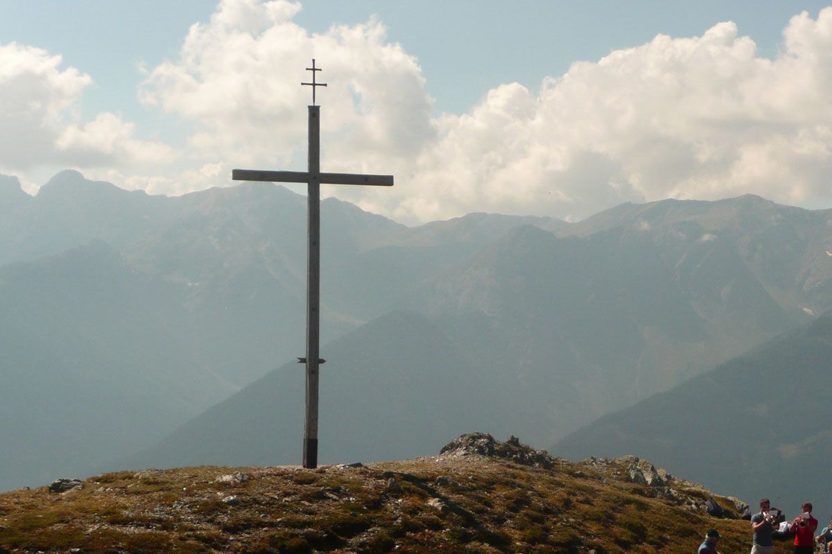
The entire Tessenberger Alm and Fronstadler Alm area is an Alpine plateau and it is a much loved hiking area in its own right.  The forest trail from the town of Fronstadel near Strassen proceeds via several hairpin bends to Fronstadler Alm (not open for business).

Getting here

  • Arrival by public transport

    Mit dem Bus bis zur Haltestelle "Strassen Ort"

More tours in the surrounding area

Newsletter

The mountain is calling? So does our newsletter!

In our monthly newsletter we reveal the best holiday tips for Tyrol.