Mountain hikes Gail Loop via Grenzlandweg

Obertilliach / Carnic Main Crest
Difficulty ratings: easy
Route length: 6.3 km
Duration: 2:00 h

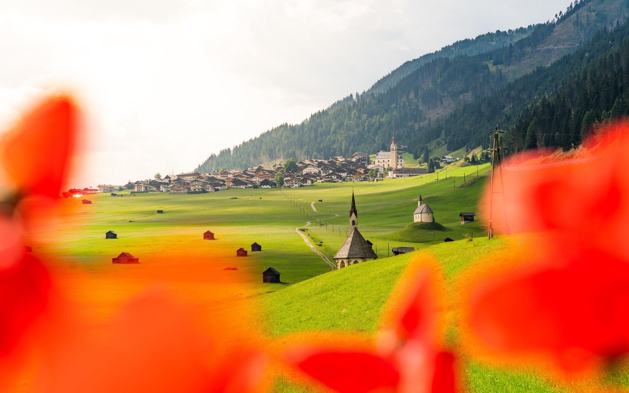
Picturesque circular hike from Obertilliach through the fields and back along the Gail.
Tour information

  • Requirement: easy
  • Length: 6.3 km
  • Duration: 2:00 h
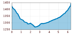
  • Elevation uphill:186 hm
  • Elevation downhill:175 hm
Highest point1,442 m

Starting point

Obertilliach village

Finishing point

Obertilliach Dorf Abzw. Weiler
  • Fitness level 2 / 6
  • Technique 1 / 6

Features

  • Circular route
  • Suitable for families

Best time of year

  • January
  • February
  • March
  • April
  • May
  • June
  • July
  • August
  • September
  • October
  • November
  • December

Trail condition

Asphalt, forest tracks and field paths.
Source: TVB Osttirol

Description

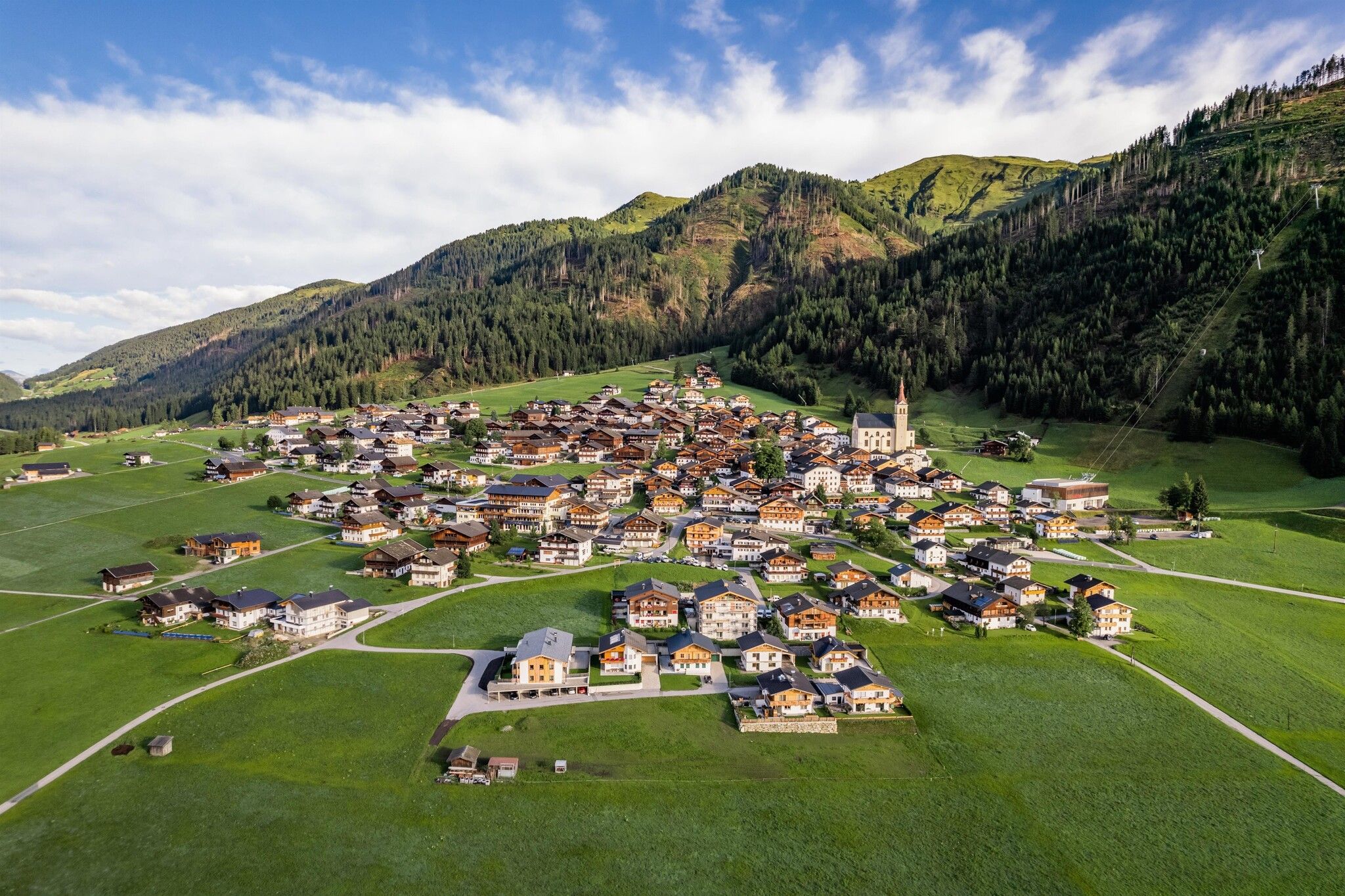
The circular hike starts in Obertilliach and initially leads downwards through the fields, passing the iconic "Tillga Schupfen" until reaching the district of Bergen. There, turn right onto the road and follow it for a short distance to the sawmill and sewage treatment plant, before crossing the Gail river via a bridge and then hiking along a forest path along the Gail again. Following the path slightly uphill towards the west, you reach the playground at Mühlboden. From here, the route leads northwards back up into the village.

Getting here

  • Arrival by public transport

    Take bus line 965 coming from Sillian to Obertilliach. Get off at the Obertilliach Dorf stop.

  • Parking

    Park in the village area of Obertilliach or at the large car park near the cable car.

Weather

Today

light rain showers
25°C/14°C
60%4.2l5 km/h

Wed

light rain showers
24°C/12°C
50%3.6l5 km/h

Thu

mainly clear
25°C/12°C
15%0.5l5 km/h
Go to weather forecast

More tours in the surrounding area

Newsletter

The mountain is calling? So does our newsletter!

In our monthly newsletter we reveal the best holiday tips for Tyrol.