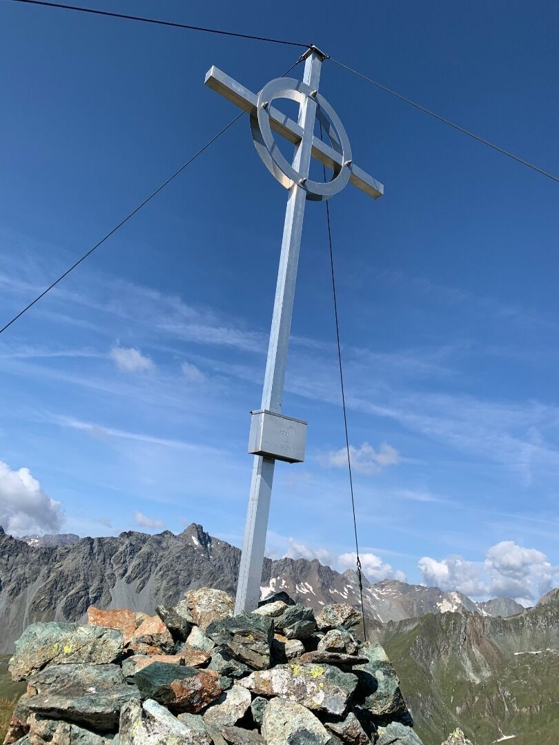
Hut hike Gösleswand 2.913m

St. Jakob im Defereggental / Venediger Group
Difficulty ratings: difficult
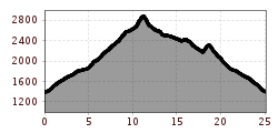
Route length: 25.0 km
Duration: 9:30 h

Breathe in the fresh mountain air and feel the call of freedom
Tour information

  • Requirement: difficult
  • Length: 25.0 km
  • Duration: 9:30 h
  • Elevation uphill:1,510 hm
  • Elevation downhill:2,400 hm
Highest point2,912 m

Starting point

St. Jakob i. D.

Finishing point

Gösleswand
  • Fitness level 5 / 6
  • Technique 3 / 6

Best time of year

  • January
  • February
  • March
  • April
  • May
  • June
  • July
  • August
  • September
  • October
  • November
  • December
Source: TVB Osttirol

Description

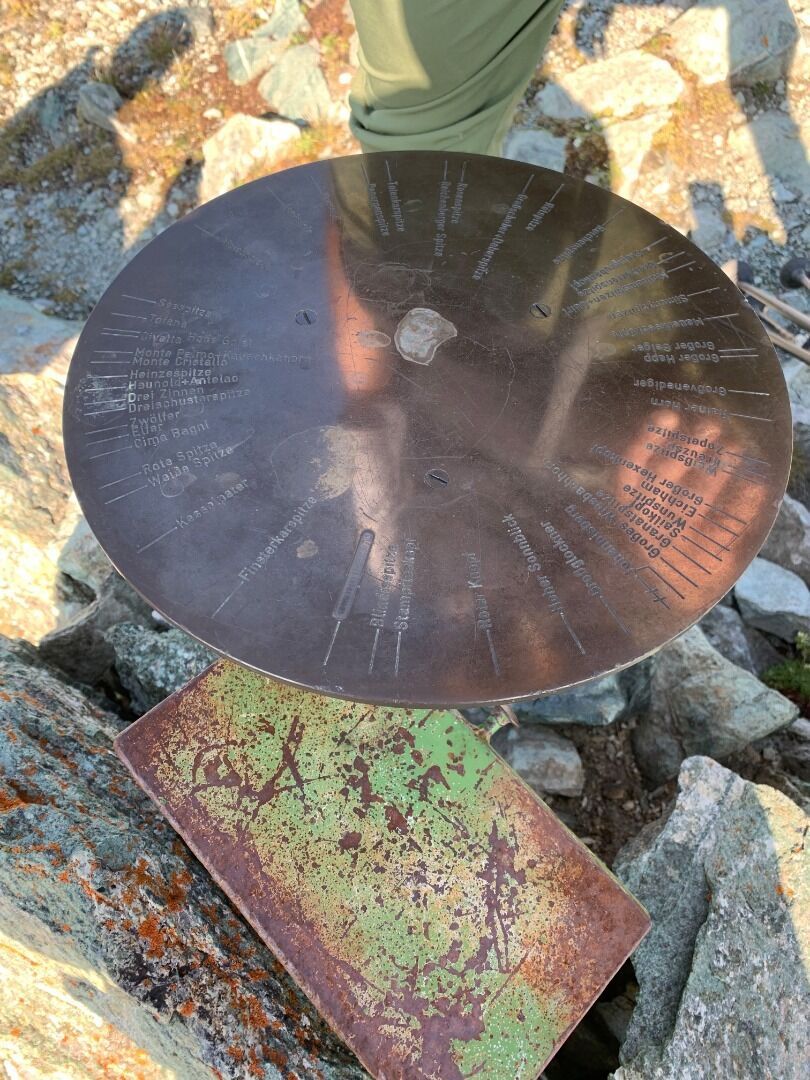
Remarkably lovely mountains in the area around Reichenberger Hütte. Geologically interesting structure, consisting of a wide variety of stones – magnesian limestone, mica-slate, steatite, quartz, paragneiss, serpentinite and marble.

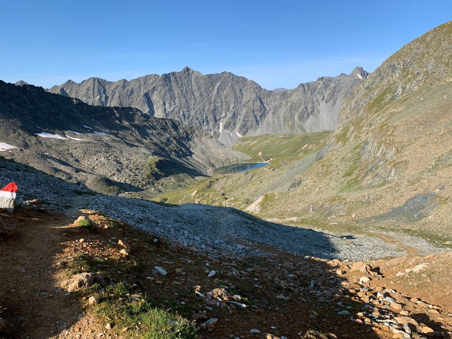
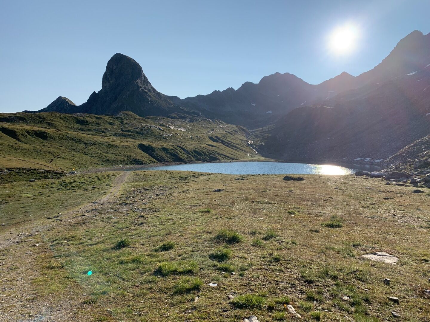
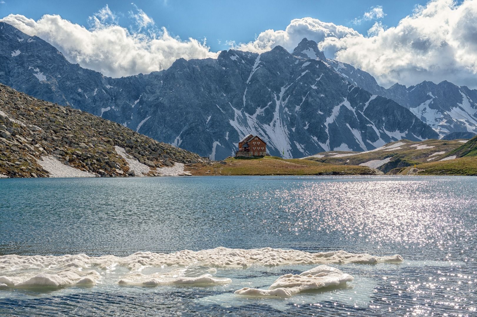
The tour begins in St. Jakob i. D. and proceeds via the Hintere Trojeralm to the Reichenberger Hütte. From the hut pass the left of the Bödensee via a good trail, flat initially, then climbing slightly to the Rote Lenke. The route then turns to the left and continues to climb, moderately steeply on a path in hairpin bends up to the ridge top. The final few meters via the rugged back of the ridge, to the summit on the right. The descent can then be made via the Durfeldalm.

Nearby huts and mountain restaurants

Getting here

  • Arrival by public transport

    Bushaltestelle St. Jakob i. D. Gemeindeamt

  • Parking

    direkt im Ortsteil von St. Jakob in Defereggen oder Parkplatz Trojertal

Weather

Today

mainly clear
17°C/8°C
40%1l5 km/h

Sun

partly Cloudy
19°C/8°C
45%0.2l5 km/h

Mon

light rain showers
20°C/9°C
55%2.7l5 km/h
Go to weather forecast

More tours in the surrounding area

  • Rollitour with Swiss Trac

    Difficulty:easy
    Length:3.2 kmDuration:1:30 hElevation uphill:135 m
  • Muhs panorama trail

    Difficulty:medium
    Length:15.2 kmDuration:6:00 hElevation uphill:1,090 m
  • Herz-Ass Villgratental

    Difficulty:medium
    Length:75.6 kmDuration:34:00 hElevation uphill:5,703 m
  • Venediger altitude trail

    Difficulty:difficult
    Length:55.5 kmDuration:27:00 hElevation uphill:3,975 m
  • Figerhorn

    Difficulty:difficult
    Length:6.6 kmDuration:6:00 hElevation uphill:811 m
  • Theme path "Virgen crossroads"

    Difficulty:easy
    Length:3.2 kmDuration:1:00 hElevation uphill:104 m
  • Lasörling altitude trail

    Difficulty:medium
    Length:55.4 kmDuration:25:00 hElevation uphill:3,718 m
  • Hike to Kalser Tauernhaus

    Difficulty:medium
    Length:12.2 kmDuration:4:00 hElevation uphill:244 m
  • Iseltrail

    Difficulty:medium
    Length:75.3 kmDuration:24:30 hElevation uphill:2,347 m
  • Hiking tour to Neue Sajathütte 2.600m

    Difficulty:medium
    Length:10.3 kmDuration:6:50 hElevation uphill:1,086 m
  • Hiking tour to Zupalsee Hütte 2.350m

    Difficulty:medium
    Length:14.9 kmDuration:8:30 hElevation uphill:1,261 m
  • Trail Virgentaler Sonnseitenweg

    Difficulty:medium
    Length:41.9 kmDuration:19:00 hElevation uphill:2,641 m
  • Badener Hütte

    Difficulty:difficult
    Length:23.2 kmDuration:12:00 hElevation uphill:1,754 m
  • Lucknerhaus - Stüdlhütte

    Difficulty:medium
    Length:9.3 kmDuration:4:30 hElevation uphill:862 m
  • Hike to Neuen Reichenberger Hütte

    Difficulty:medium
    Length:18.2 kmDuration:9:00 hElevation uphill:1,252 m
  • Hiking tour to Lasörlinghütte 2.350m

    Difficulty:medium
    Length:14.6 kmDuration:7:50 hElevation uphill:1,135 m
  • Hiking tour to St. Pöltner Hütte and 3 lakes

    Difficulty:difficult
    Length:14.8 kmDuration:7:40 hElevation uphill:1,119 m
Newsletter

The mountain is calling? So does our newsletter!

In our monthly newsletter we reveal the best holiday tips for Tyrol.