Mountain hikes Golzentipp über Gripp (Nr. 47)

Obertilliach / Gailtal Alps
Difficulty ratings: medium
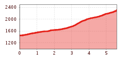
Route length: 5.6 km
Duration: 2:30 h

wegen Holzschlägerungsarbeiten bis ca. 24. Juni gesperrt!
Tour information

  • Requirement: medium
  • Length: 5.6 km
  • Duration: 2:30 h
  • Elevation uphill:860 hm
  • Elevation downhill:0 hm
Highest point2,317 m

Starting point

Tourismusbüro Obertilliach

Finishing point

Golzentipp Gipfel
  • Fitness level 3 / 6
  • Technique 3 / 6

Best time of year

  • January
  • February
  • March
  • April
  • May
  • June
  • July
  • August
  • September
  • October
  • November
  • December
Source: TVB Osttirol

Description

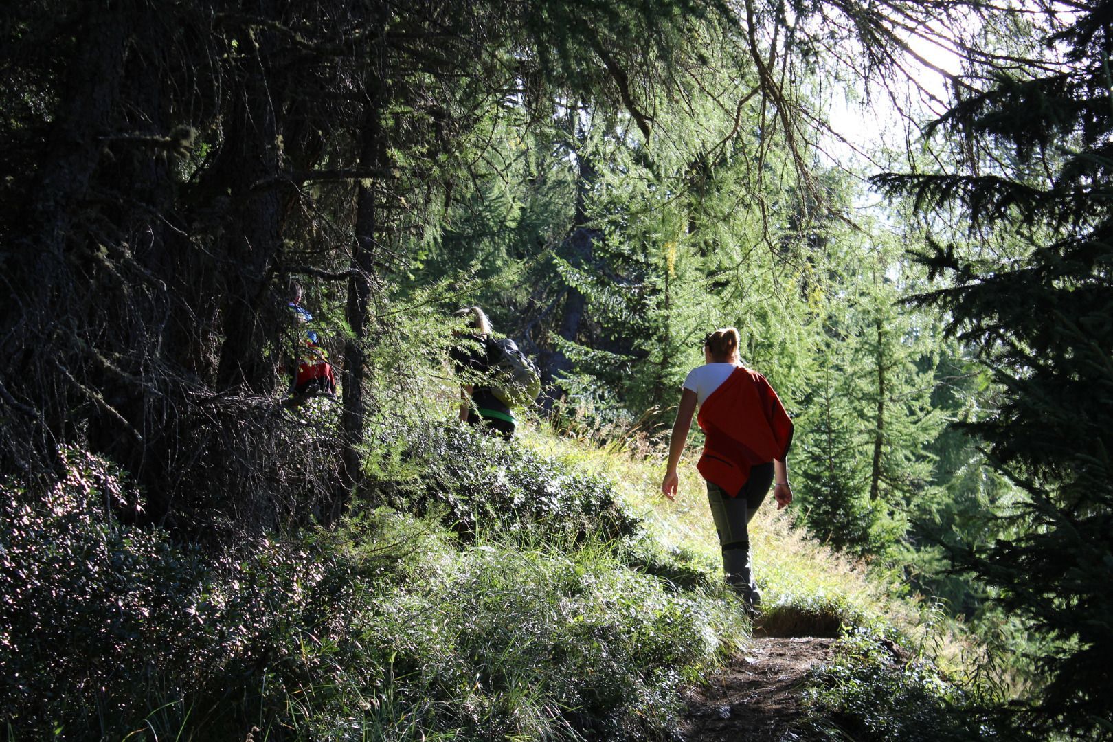
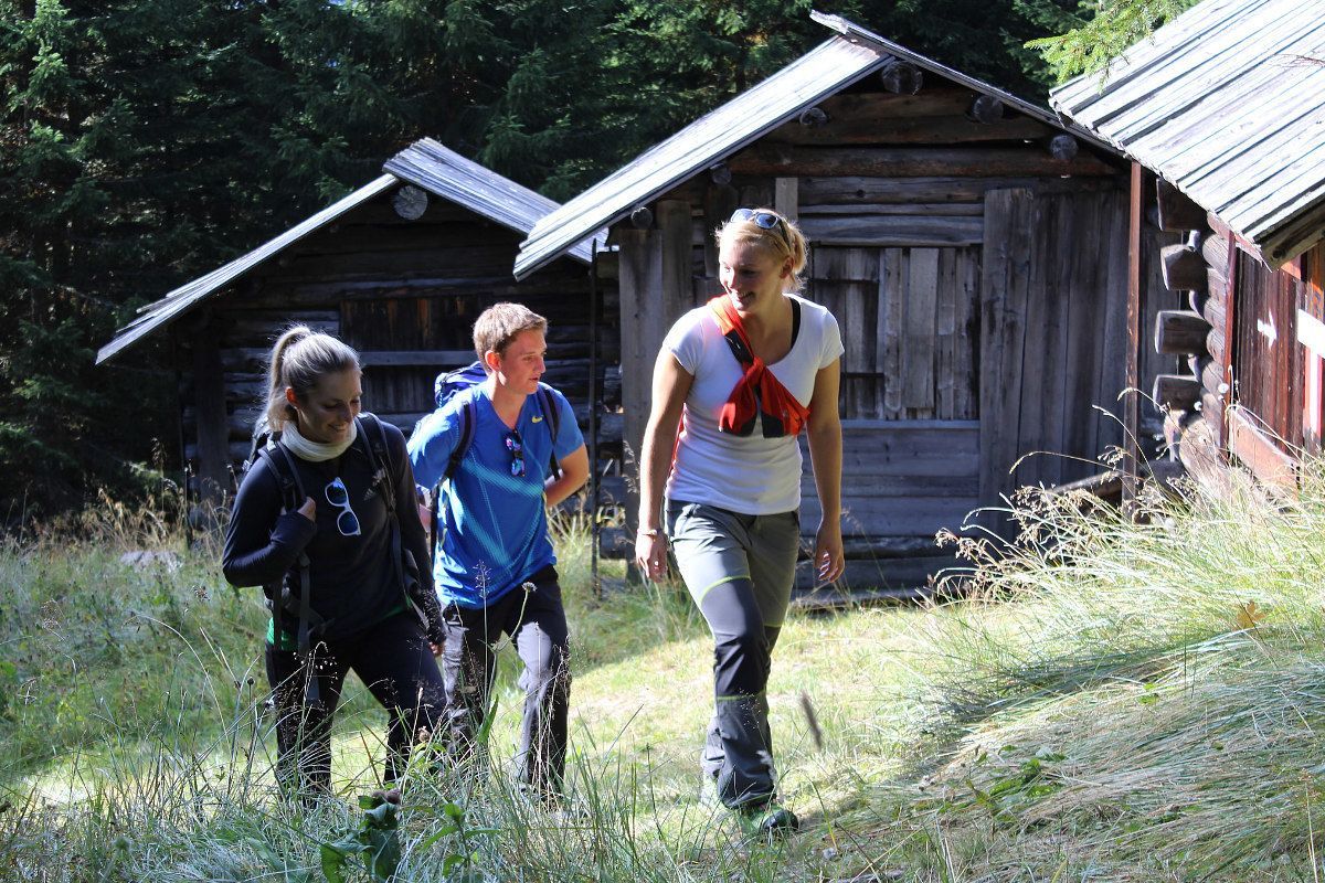
From the village an asphalted road leads to the nothern edge of the village. Nearly 200 metres above, the path no. 47 via Gripp to the Golzentipp. Along the forest road, later over a steeper path trough the forest up to Gripp. At a small mountain hut the forest becomes visibly lighter and narrow, moderately ascending path leads over partly moist mountain meadows further to a small saddle west to the Golzentipp summit. The last section to the right up to the summit is steeper again, but only relativly short!

Nearby huts and mountain restaurants

Getting here

  • Arrival by public transport

    Mit dem Bus bis zur Haltestelle "Obertilliach Dorf"

  • Parking

    Parkplatz Bergbahnen Obertilliach

Weather

Today

clear sky
13°C/2°C
0%0l5 km/h

Sat

clear sky
16°C/5°C
0%0l5 km/h

Sun

clear sky
17°C/7°C
0%0l5 km/h
Go to weather forecast

More tours in the surrounding area

  • Lasörling altitude trail

    Difficulty:medium
    Length:55.4 kmDuration:25:00 hElevation uphill:3,718 m
  • Venediger altitude trail

    Difficulty:difficult
    Length:55.5 kmDuration:27:00 hElevation uphill:3,975 m
  • Theme path "Virgen crossroads"

    Difficulty:easy
    Length:3.2 kmDuration:1:00 hElevation uphill:104 m
  • Figerhorn

    Difficulty:difficult
    Length:6.6 kmDuration:6:00 hElevation uphill:811 m
  • Muhs panorama trail

    Difficulty:medium
    Length:15.2 kmDuration:6:00 hElevation uphill:1,090 m
  • Herz-Ass Villgratental

    Difficulty:medium
    Length:75.6 kmDuration:34:00 hElevation uphill:5,703 m
  • Iseltrail

    Difficulty:medium
    Length:75.3 kmDuration:24:30 hElevation uphill:2,347 m
  • Badener Hütte

    Difficulty:difficult
    Length:23.2 kmDuration:12:00 hElevation uphill:1,754 m
  • Lucknerhaus - Stüdlhütte

    Difficulty:medium
    Length:9.3 kmDuration:4:30 hElevation uphill:862 m
  • Hiking tour to St. Pöltner Hütte and 3 lakes

    Difficulty:difficult
    Length:14.8 kmDuration:7:40 hElevation uphill:1,119 m
  • Trail Virgentaler Sonnseitenweg

    Difficulty:medium
    Length:41.9 kmDuration:19:00 hElevation uphill:2,641 m
  • Hike to Kalser Tauernhaus

    Difficulty:medium
    Length:12.2 kmDuration:4:00 hElevation uphill:244 m
  • Hiking tour to Neue Sajathütte 2.600m

    Difficulty:medium
    Length:10.3 kmDuration:6:50 hElevation uphill:1,086 m
  • The Höfe Trail

    Difficulty:easy
    Length:51.2 kmDuration:10:15 hElevation uphill:1,988 m
  • Hike to Neuen Reichenberger Hütte

    Difficulty:medium
    Length:18.2 kmDuration:9:00 hElevation uphill:1,252 m
  • Hiking tour to Lasörlinghütte 2.350m

    Difficulty:medium
    Length:14.6 kmDuration:7:50 hElevation uphill:1,135 m
  • Hiking tour to Zupalsee Hütte 2.350m

    Difficulty:medium
    Length:14.9 kmDuration:8:30 hElevation uphill:1,261 m
Newsletter

The mountain is calling? So does our newsletter!

In our monthly newsletter we reveal the best holiday tips for Tyrol.