

Opening hours:Open today
Place:Außervillgraten
:Alpine pasture / hut / mountain restaurant
Gr. Degenhorn
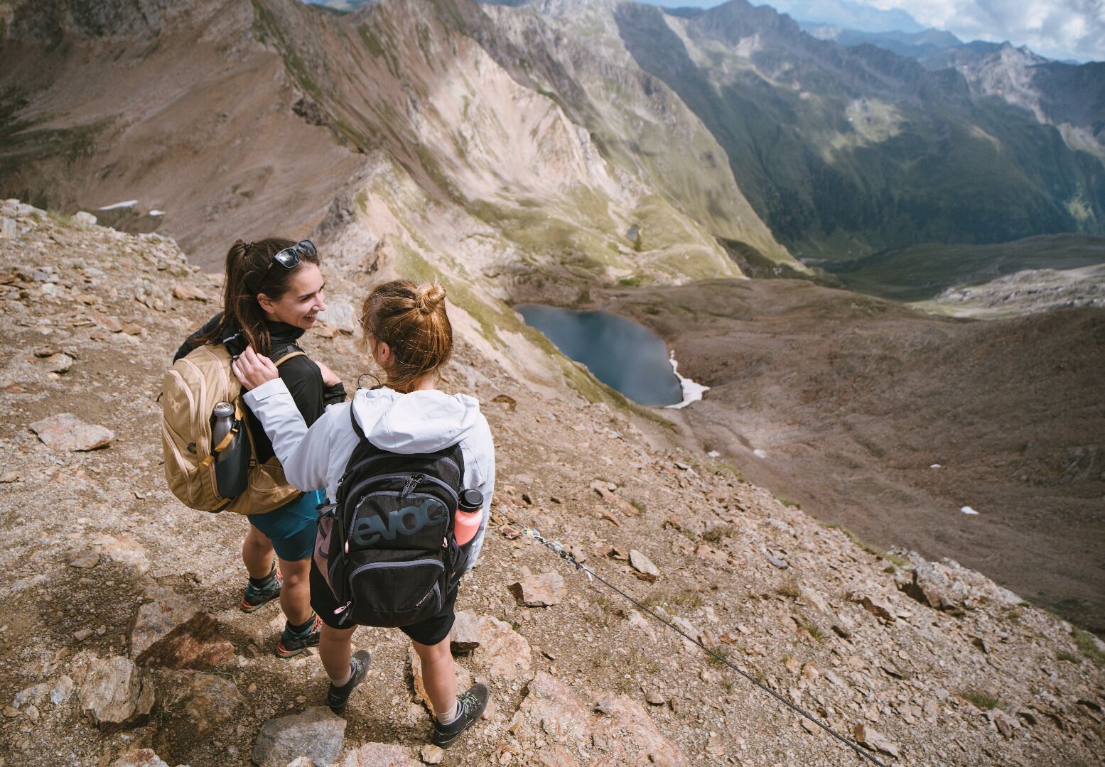
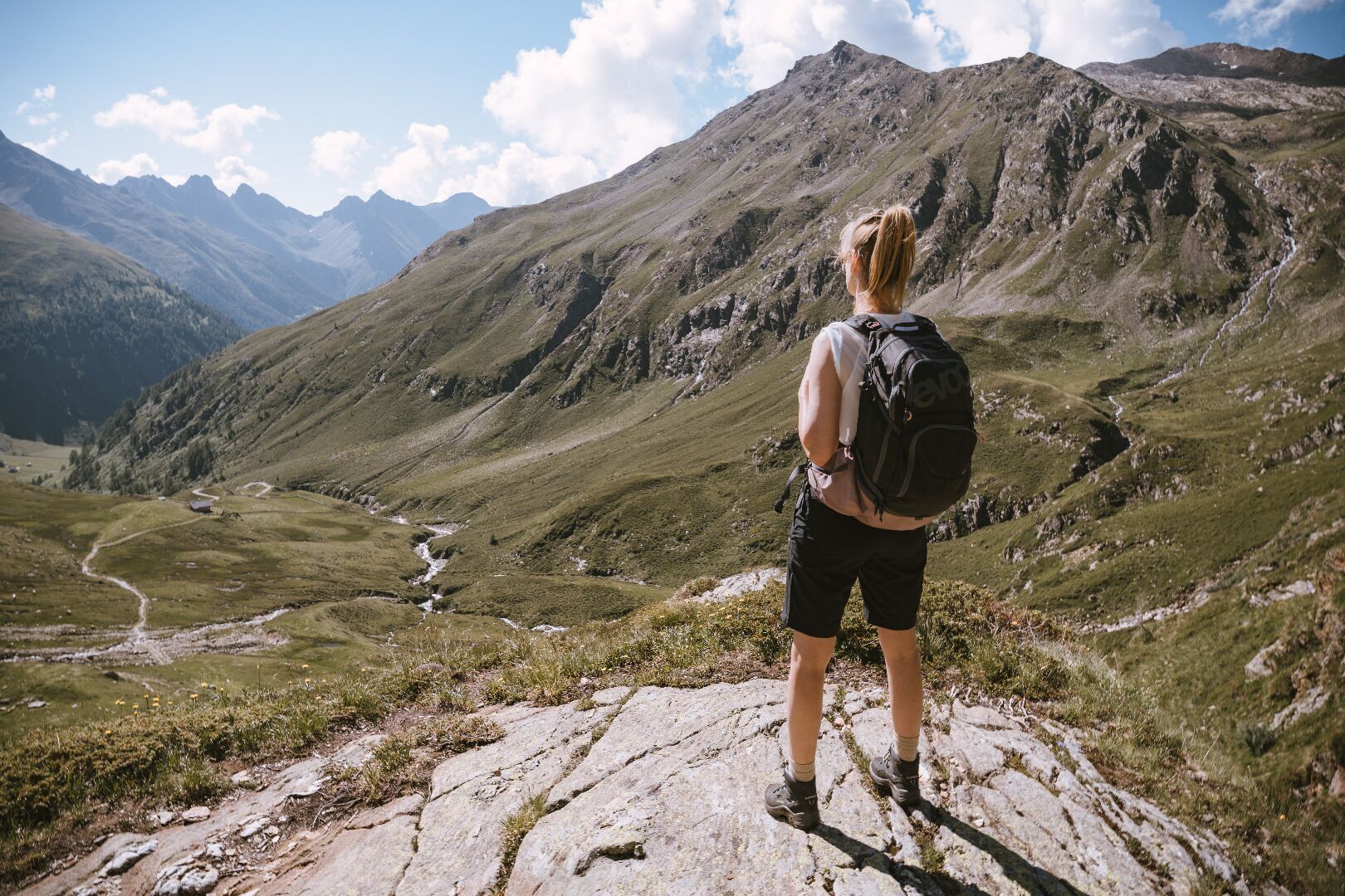
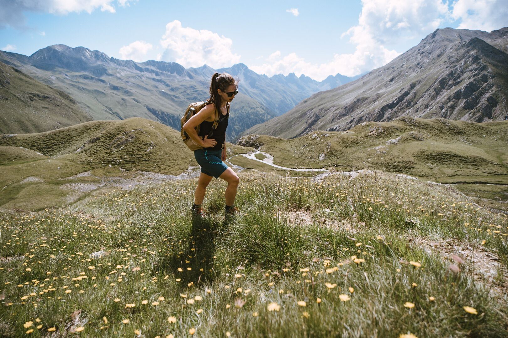

Basic equipmentformountainhikingincludessturdy hiking bootswith a goodtread, a 30-35 literbackpack, and functionalclothingbased on thelayeringprinciple, includingsufficient spare clothes. Essential itemsare rain, cold, and sunprotection, adequatefluids and food, aswellas a first-aid kit and a charged mobile phone. A mapor a GPS devicesupportsorientation.
The informationservesas a guideline and does not claimtobe exhaustive. Equipment mustalwaysbeadaptedtothe planned route, weatherconditions, season, naturalhazards, environmental influences, and personal needs.
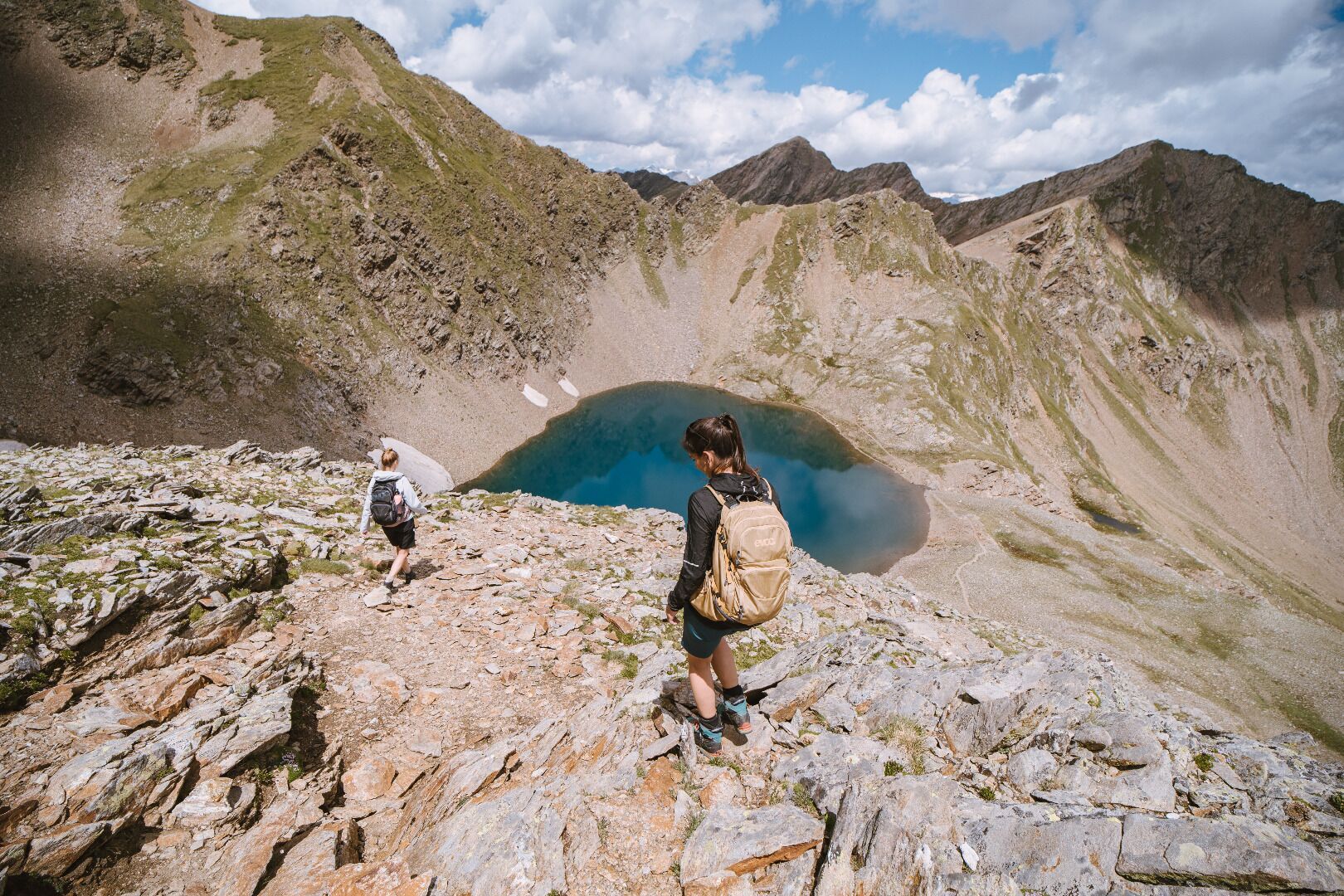
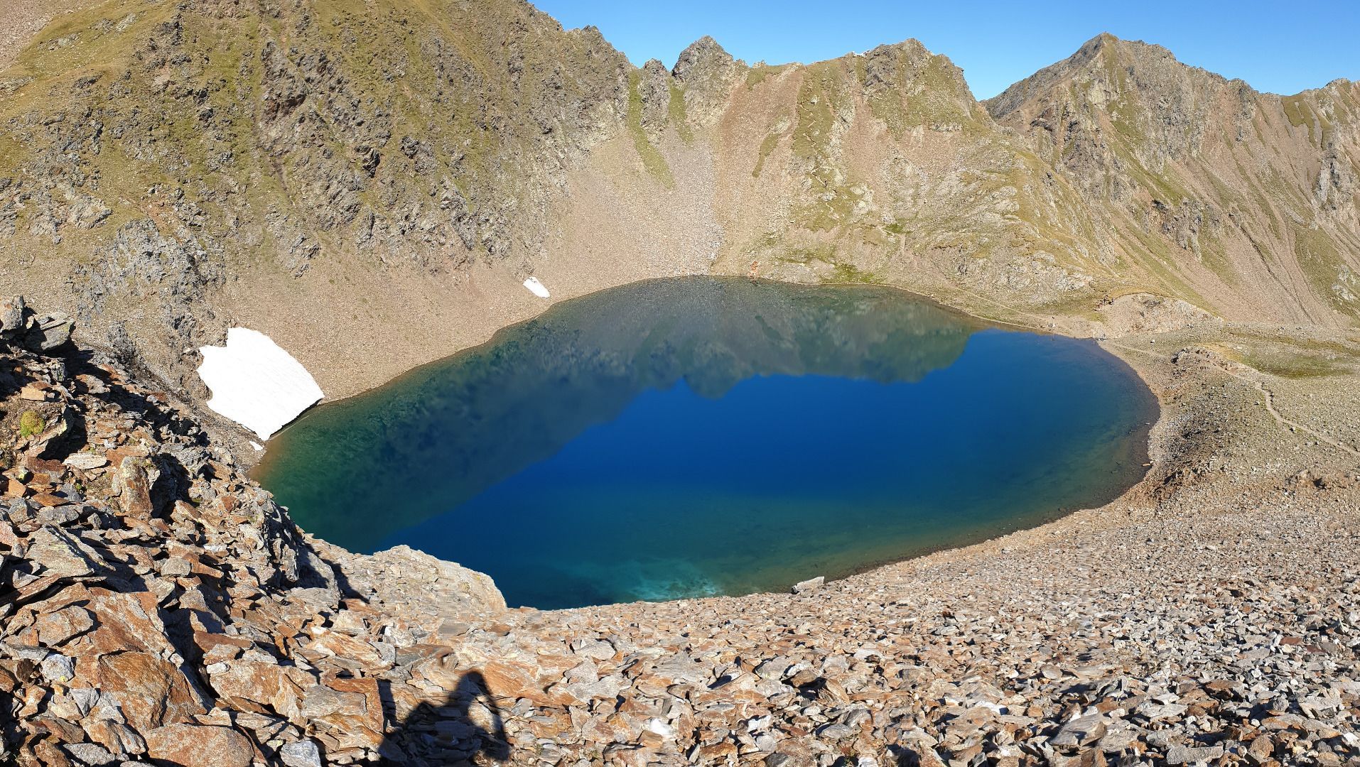
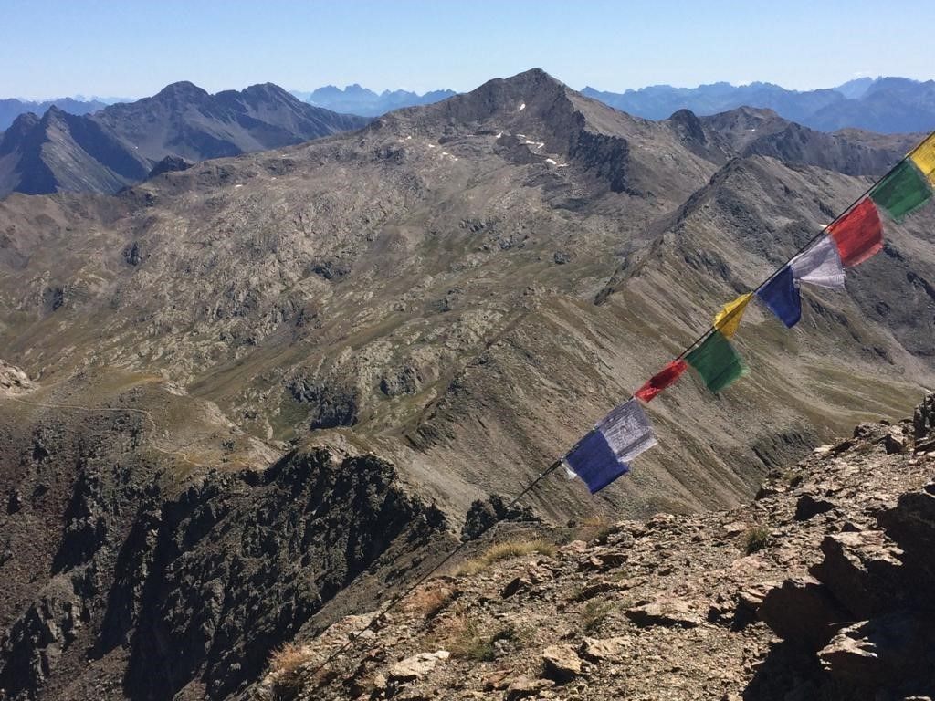
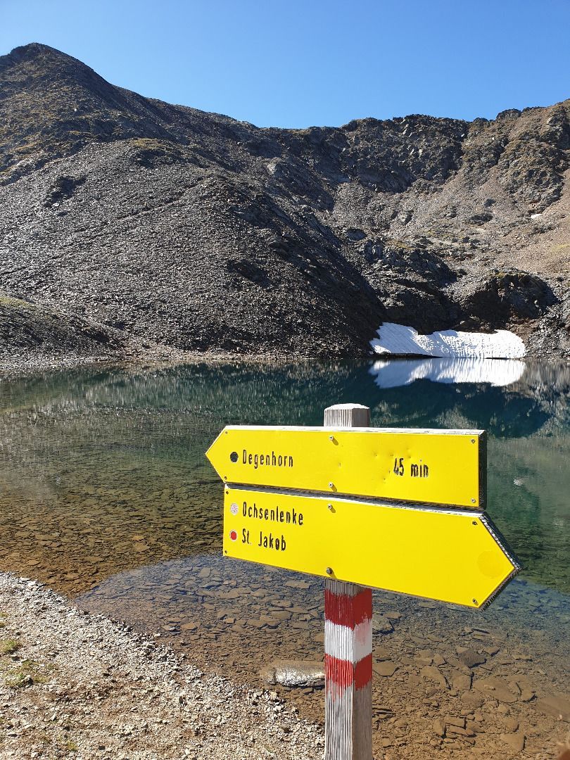
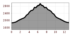
From Volkzeinerhütte via the Heimkaralm, which is located in a valley terrace, past the waterfall in the Untere and Obere Schrentenbachboden. At the Ochsenlenke junction bear left to the tranquil Degenhornsee and continue left across the Kleine Degenhorn and a narrow ridge to the summit (Tirol Jubilee trail). Descent as the ascent, or via Oberstalleralm to Innervillgraten.
Mit dem Wandertaxi bis zur Volkzeiner Hütte
Mit dem Auto bis zur Volkzeiner Hütte
Parkplatz Volkzeiner Hütte


