Mountain hikes Larchen Rundwanderweg

Obertilliach / Gailtal Alps
Difficulty ratings: easy
Route length: 5.0 km
Duration: 1:45 h

Scenic circular hike above Obertilliach.

Tour information

  • Requirement: easy
  • Length: 5.0 km
  • Duration: 1:45 h
  • Elevation uphill:250 hm
  • Elevation downhill:250 hm
Highest point1,768 m

Starting point

Mountain station Himbeergolllift

Finishing point

Mountain station Himbeergolllift
  • Fitness level 2 / 6
  • Technique 1 / 6

Features

  • Circular route

Best time of year

  • January
  • February
  • March
  • April
  • May
  • June
  • July
  • August
  • September
  • October
  • November
  • December

Trail condition

Wide forest track
Source: TVB Osttirol

Description

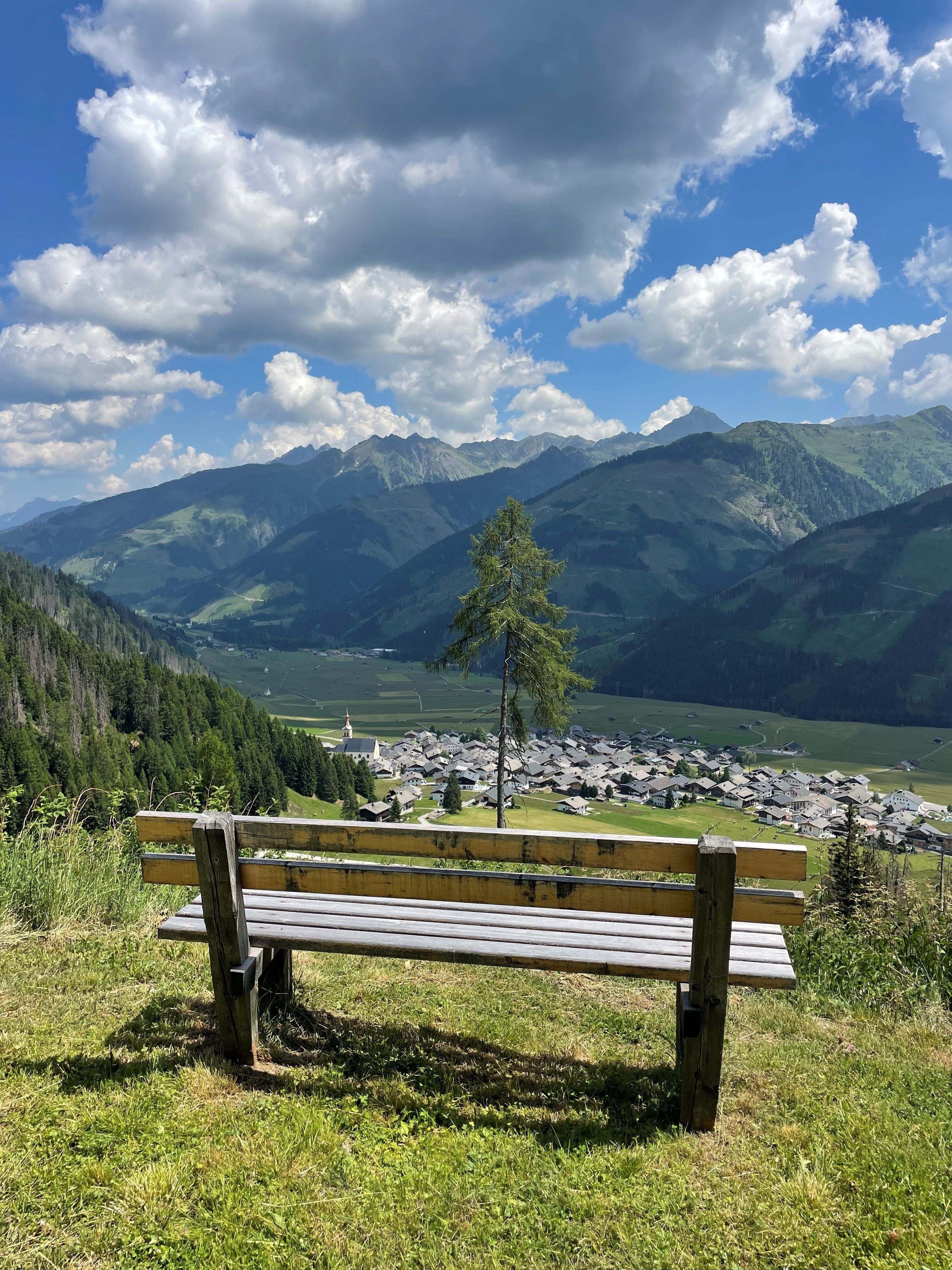
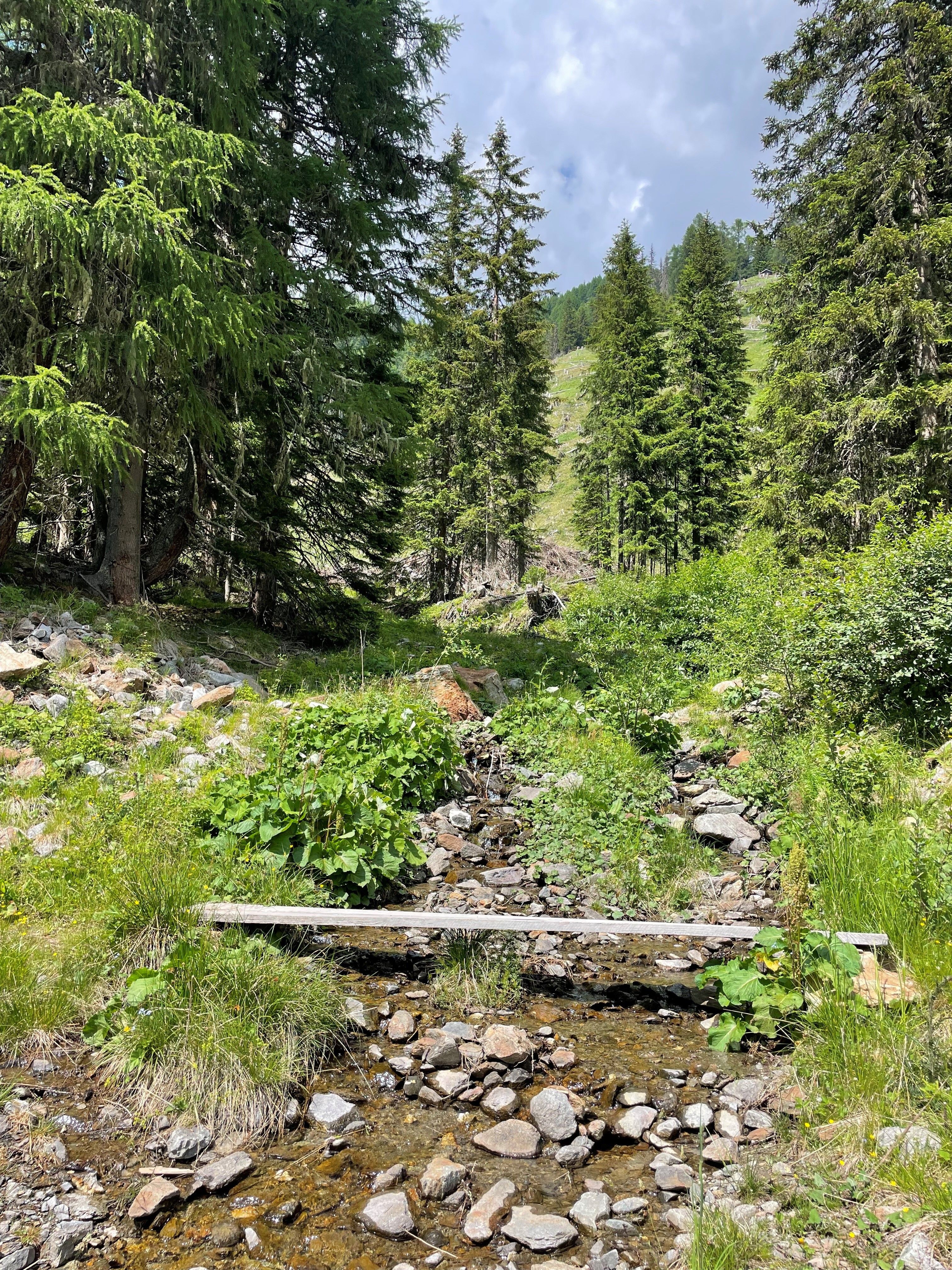
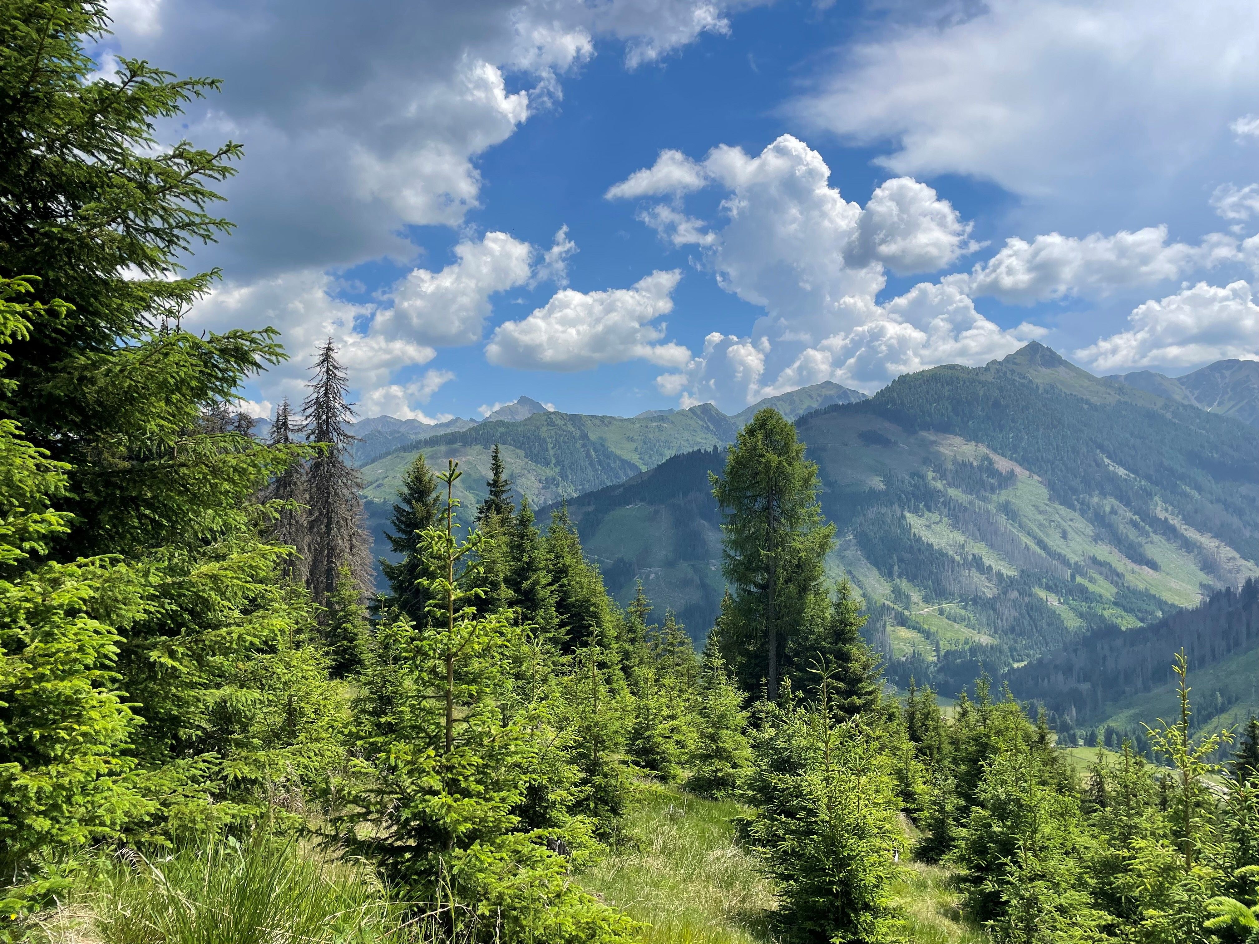
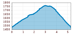
Circular hike via a wide forest road with two cozy viewpoints overlooking the village.

Getting here

  • Arrival by public transport

    Take bus no. 965 to Obertilliach. Get off at the "Obertilliach GH Weiler" stop and walk through the village to the starting point.

  • Parking

    At the community hall in Obertilliach.

More tours in the surrounding area

Newsletter

The mountain is calling? So does our newsletter!

In our monthly newsletter we reveal the best holiday tips for Tyrol.