
Place:Innervillgraten
:Alpine pasture / hut / mountain restaurant
Aussichtsreiche Tour mit Blick zu den höchsten Bergen Österreichs wie Großglockner und Großvendiger und zu den Sextner und Lienzer Dolomiten.
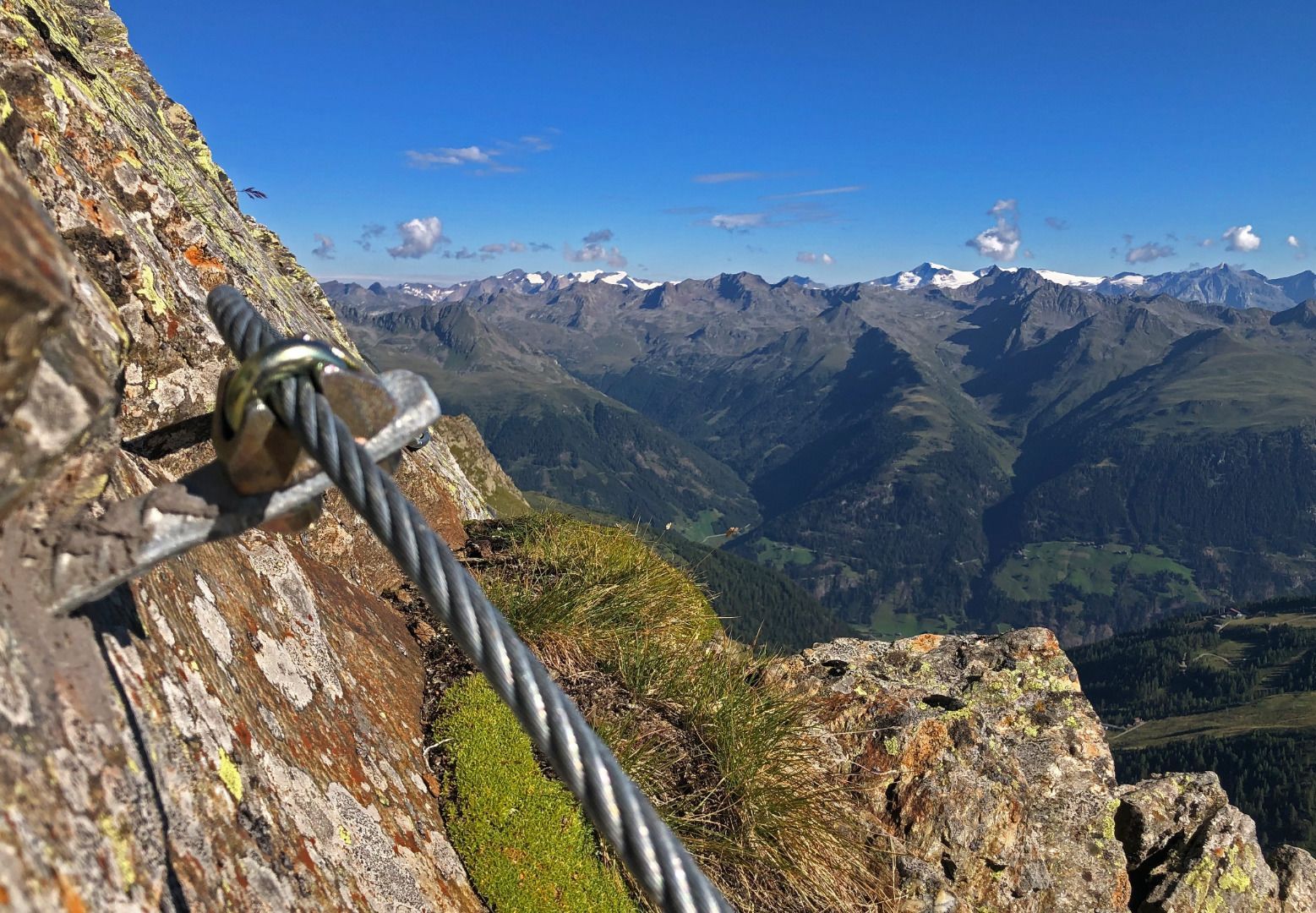
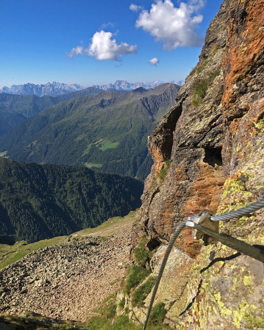
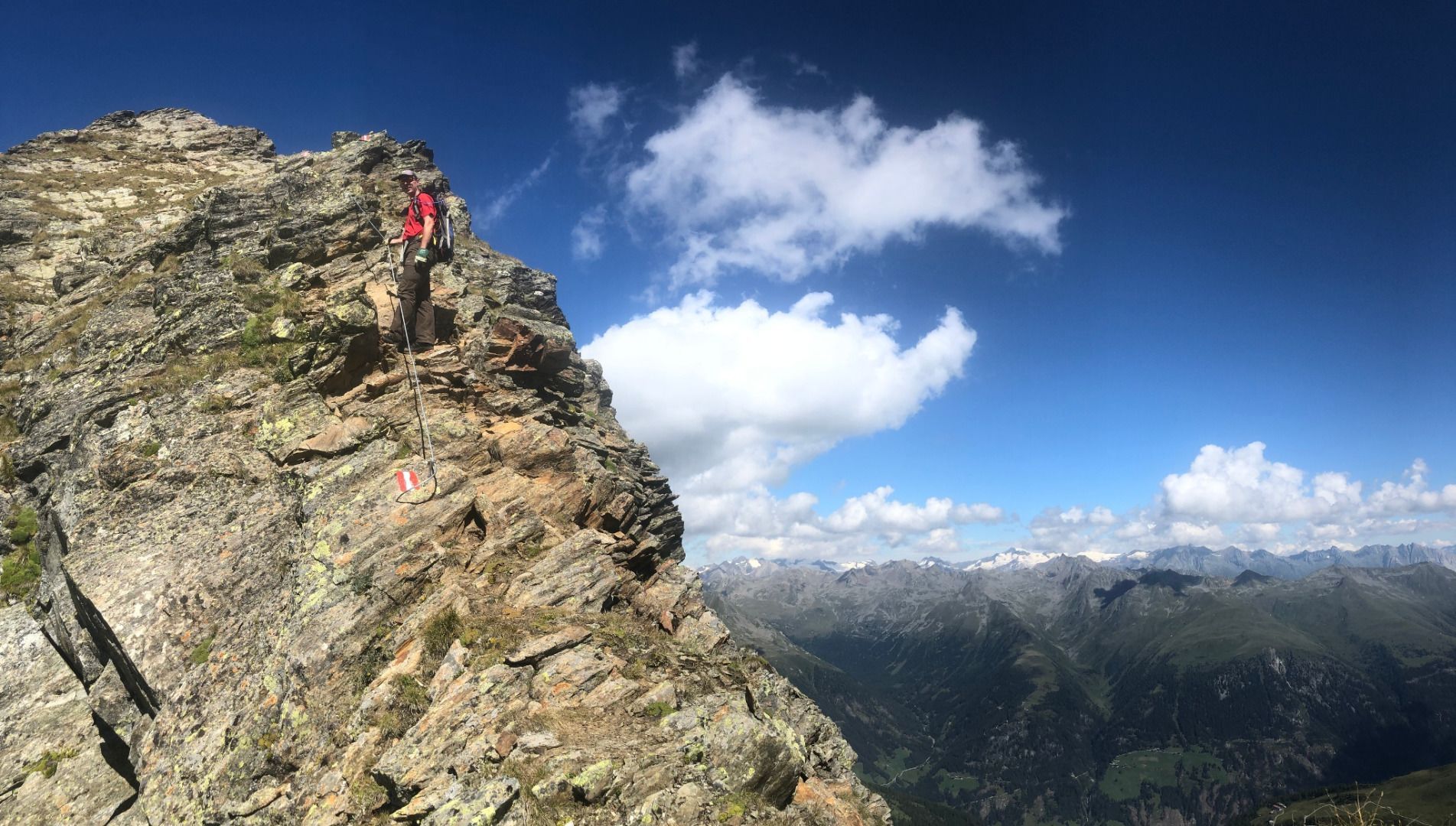
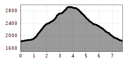
From the car park at the Oberstaller Alm, follow the tarmac road to the Oberstaller Alm and continue to the Weiße Spitz junction (trail no. 17). From here, the trail climbs steeply uphill to the Schlötterlenke at 2725 metres. There you can either continue along trail no. 17 to the Weiße Spitze or turn left and follow the rope-insured path (ATTENTION: only for experienced hikers) to the Rote Spitze. The descent is via the normal Rote Spitze trail to the Oberstaller Alm.


.jpg")
.jpg")


.jpg")
