Long-distance hike Stubaier Höhenweg (Variante 1: Starkenburger Hütte - Innsbrucker Hütte)

Neustift im Stubaital / Stubai Alps
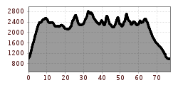
Route length: 79.7 km
Duration: 5 days

Stubaier Höhenweg (Variante 1: Starkenburger Hütte - Innsbrucker Hütte)
Tour information

  • Length: 79.7 km
  • Duration: 5 days
  • Elevation uphill:5,871 hm
  • Elevation downhill:5,869 hm
Highest point2,879 m

Best time of year

  • January
  • February
  • March
  • April
  • May
  • June
  • July
  • August
  • September
  • October
  • November
  • December
Source: TVB Stubai

Description

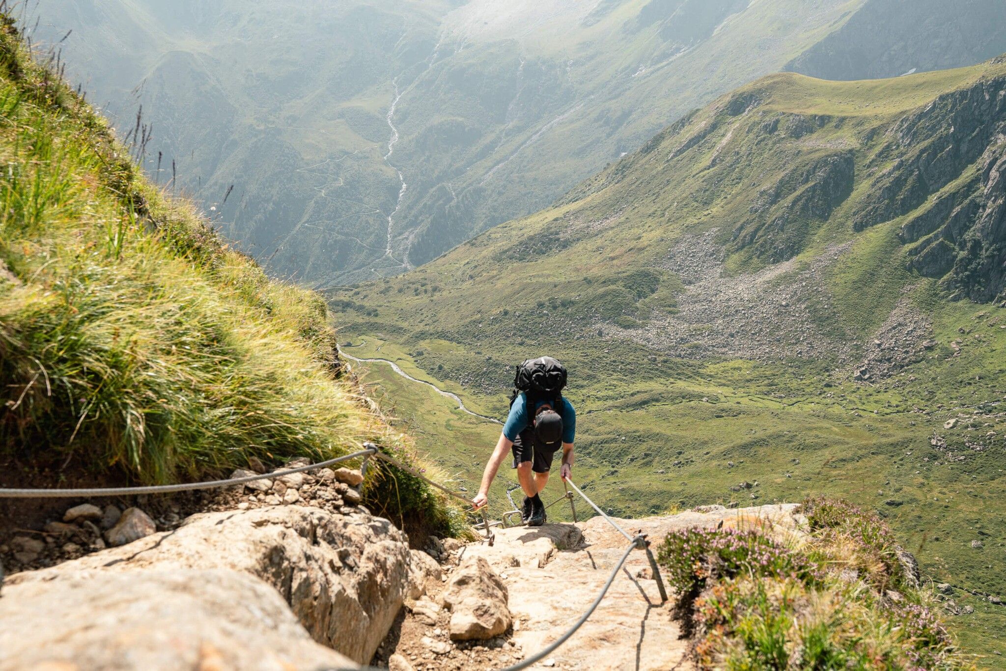
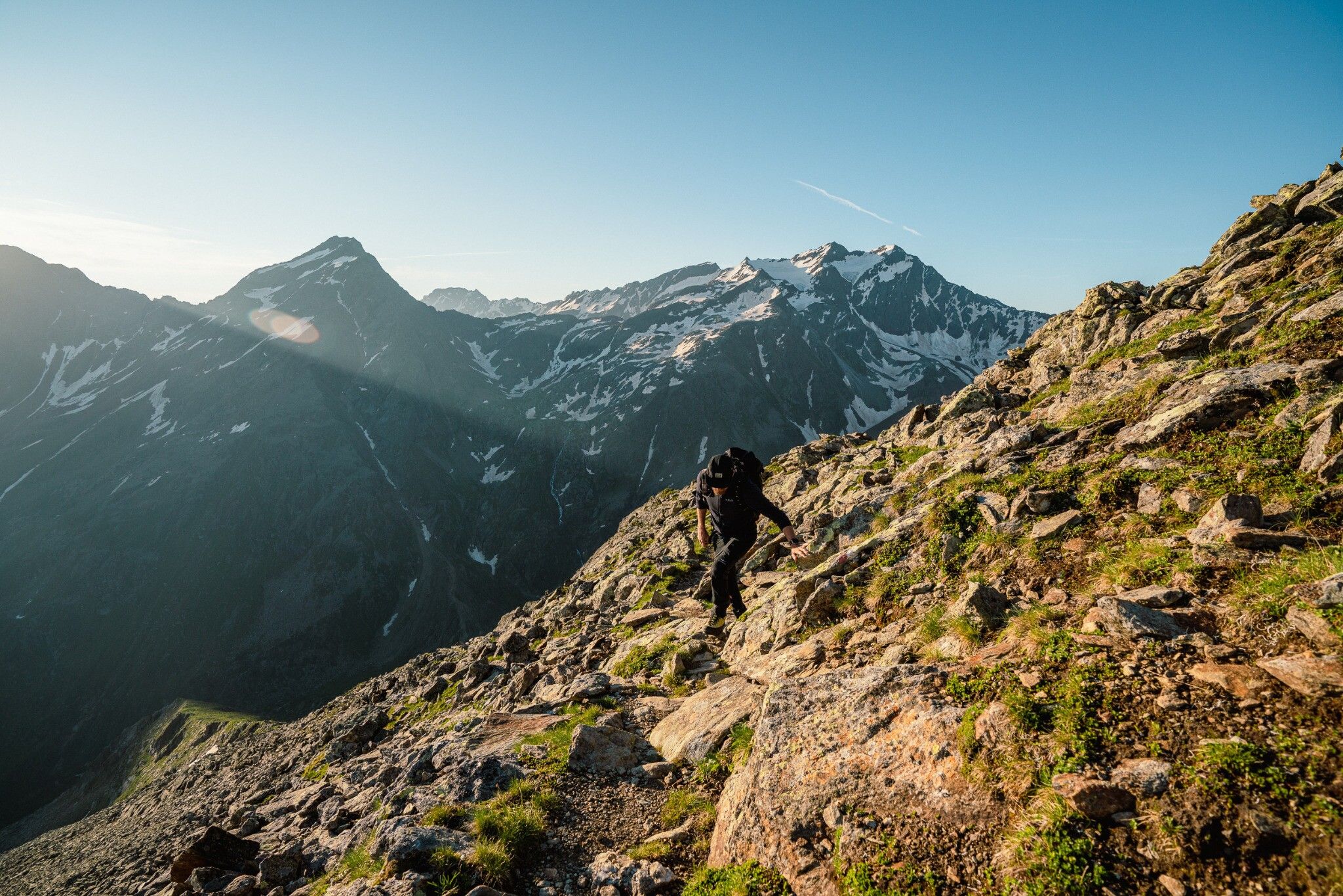
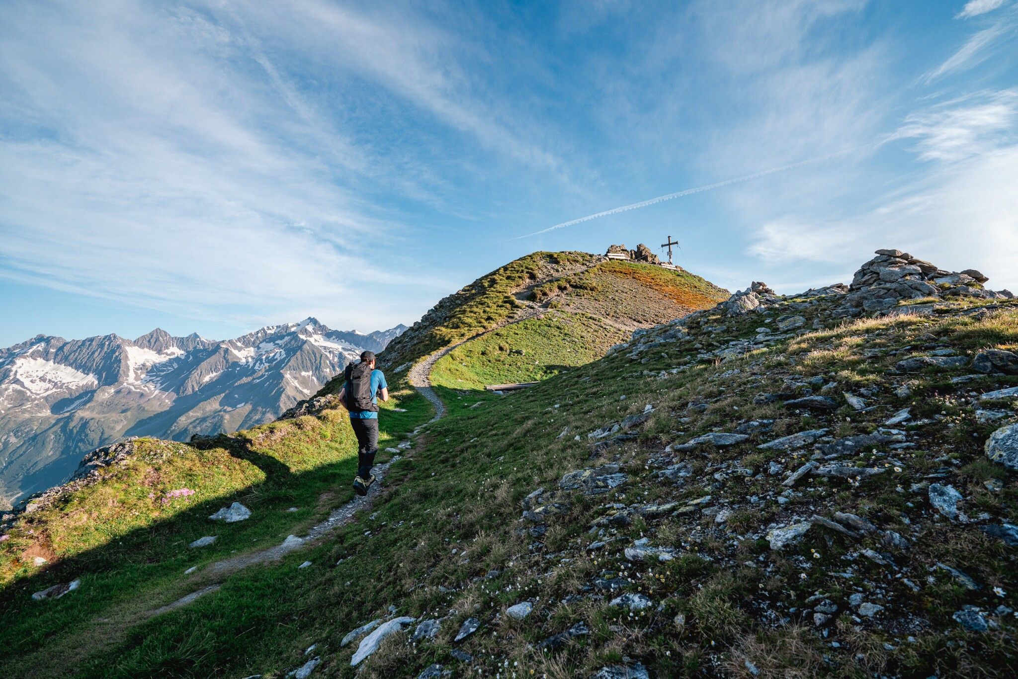
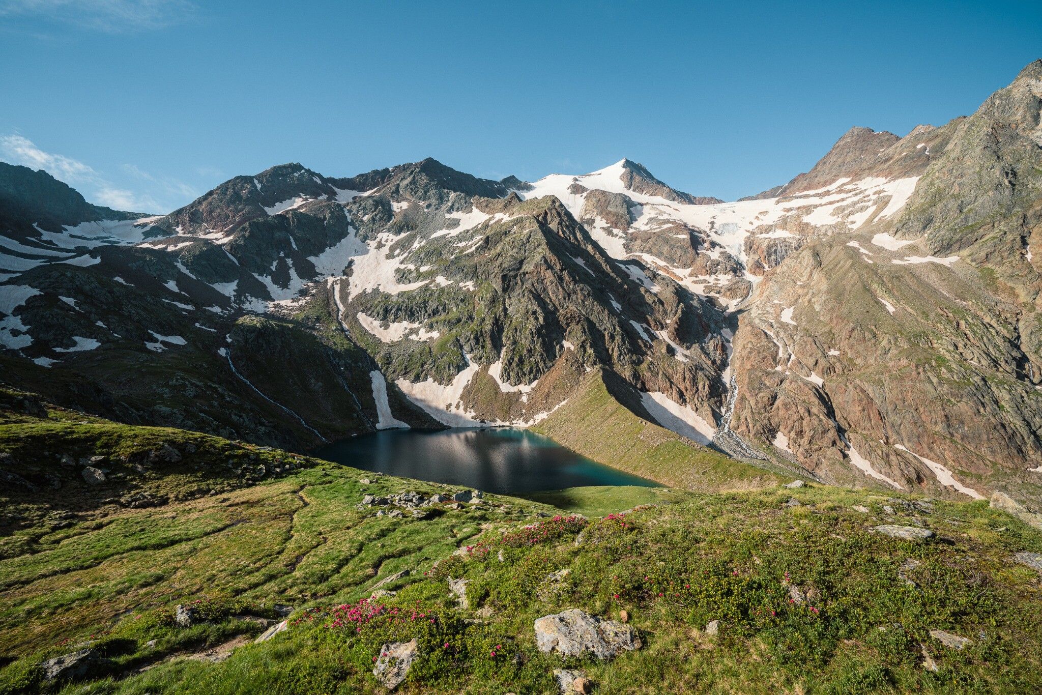
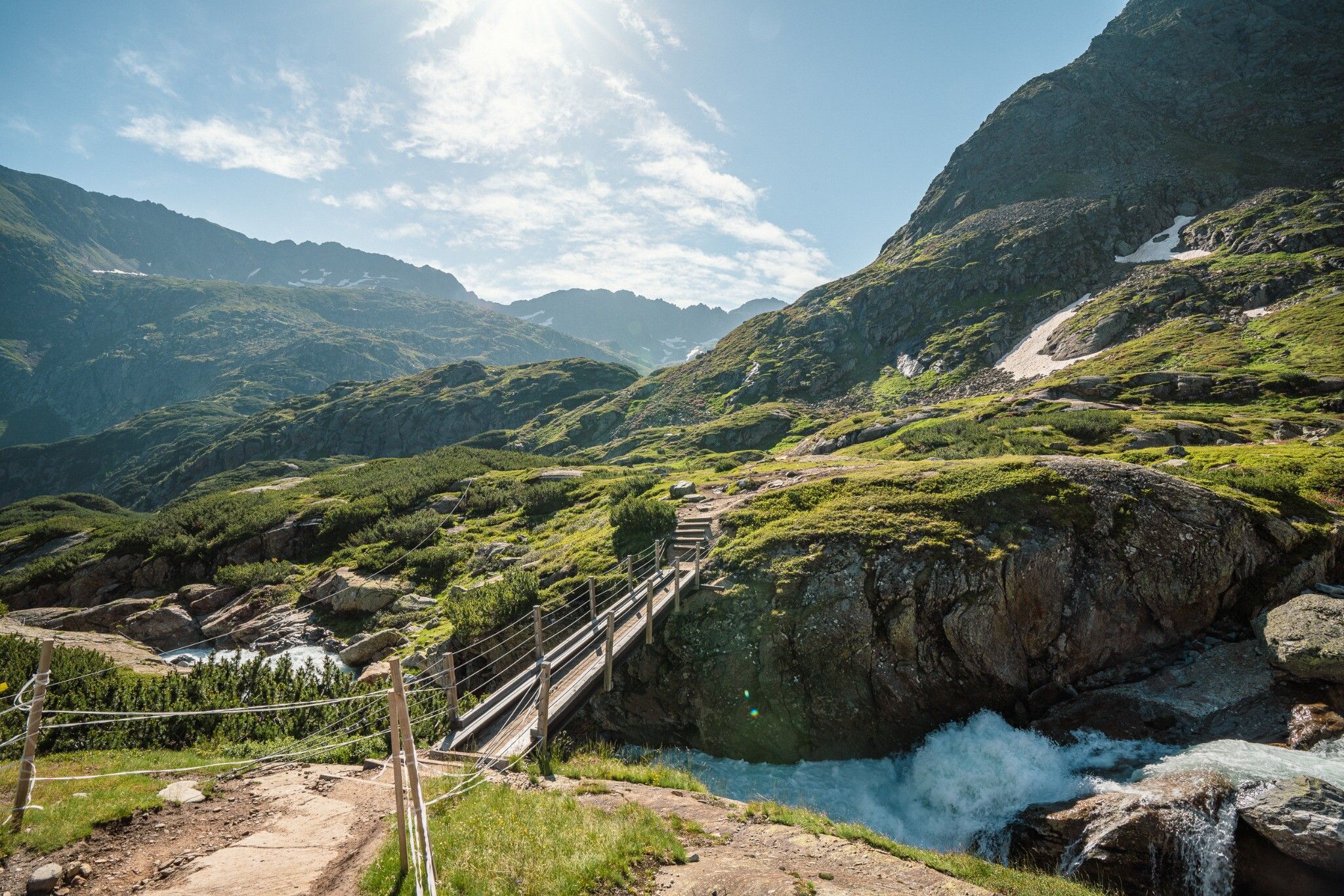
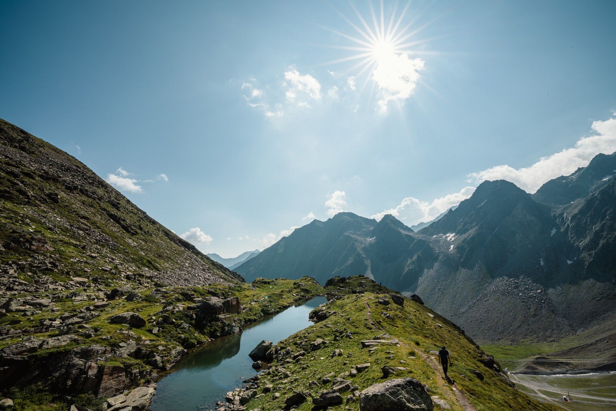
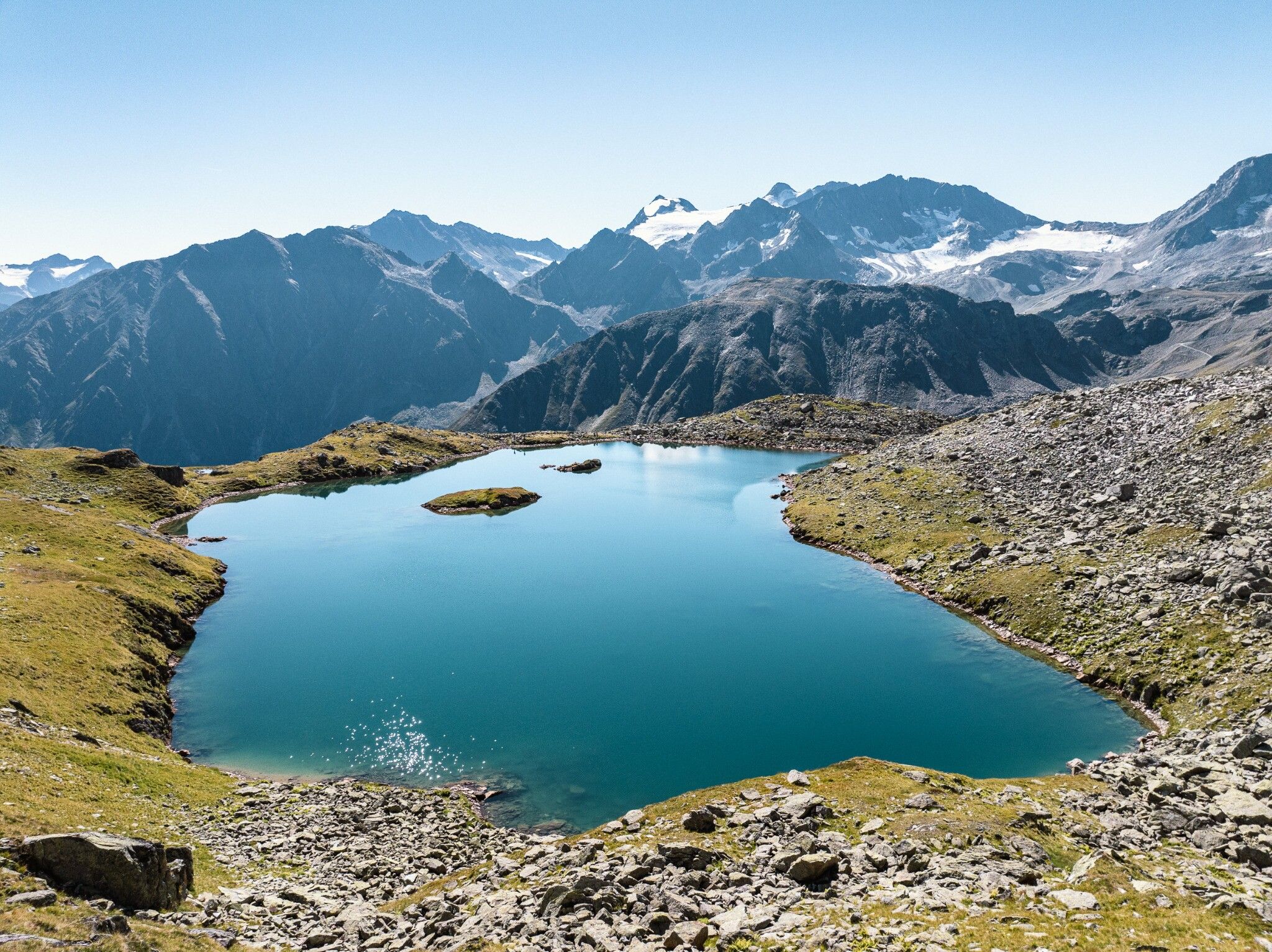
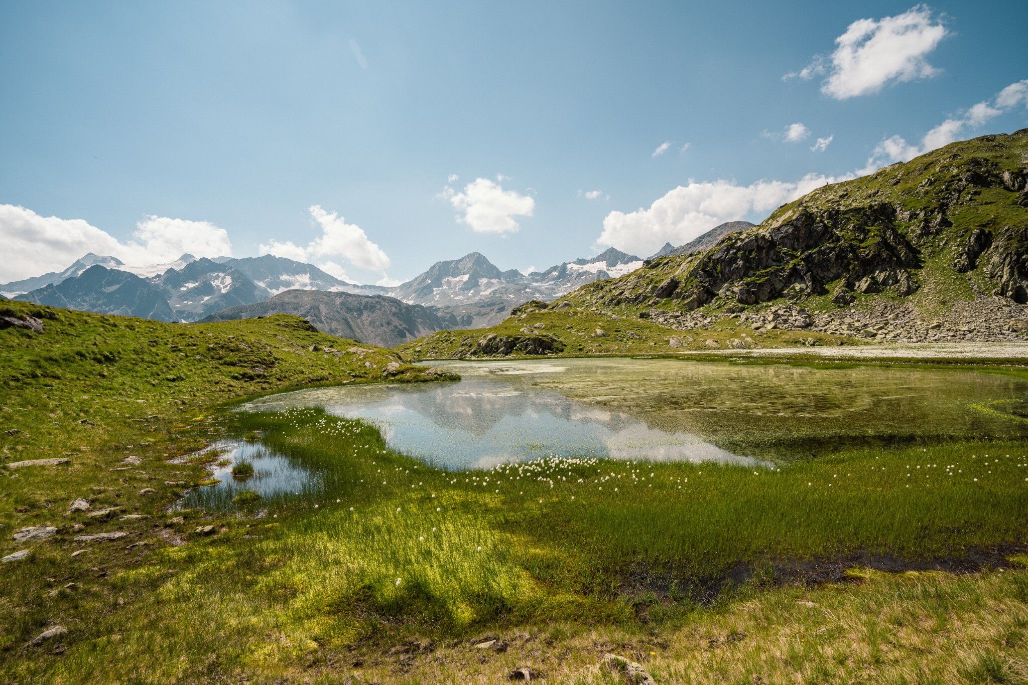
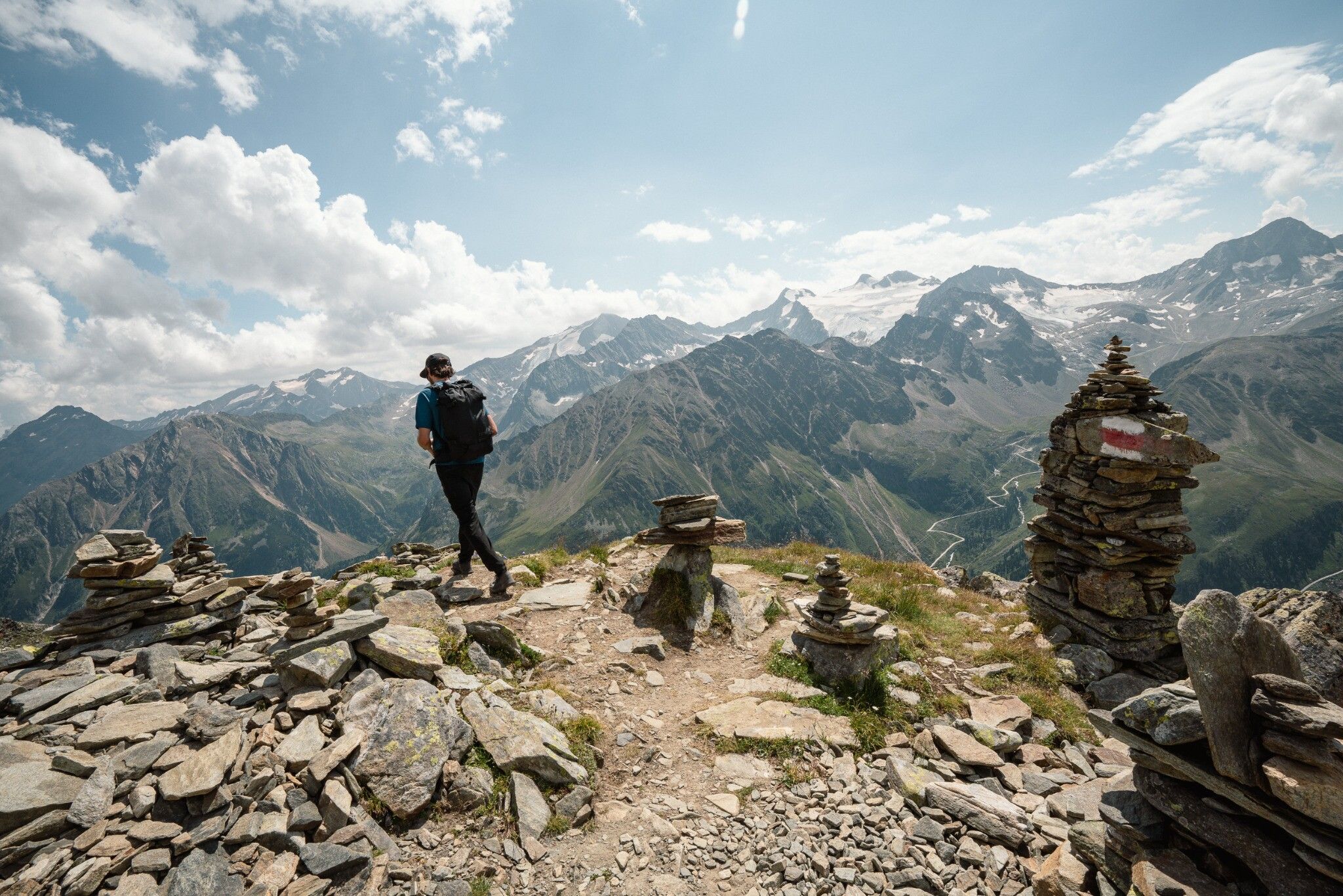
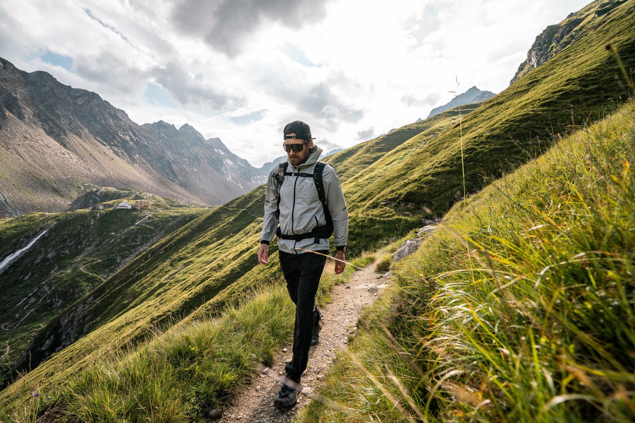
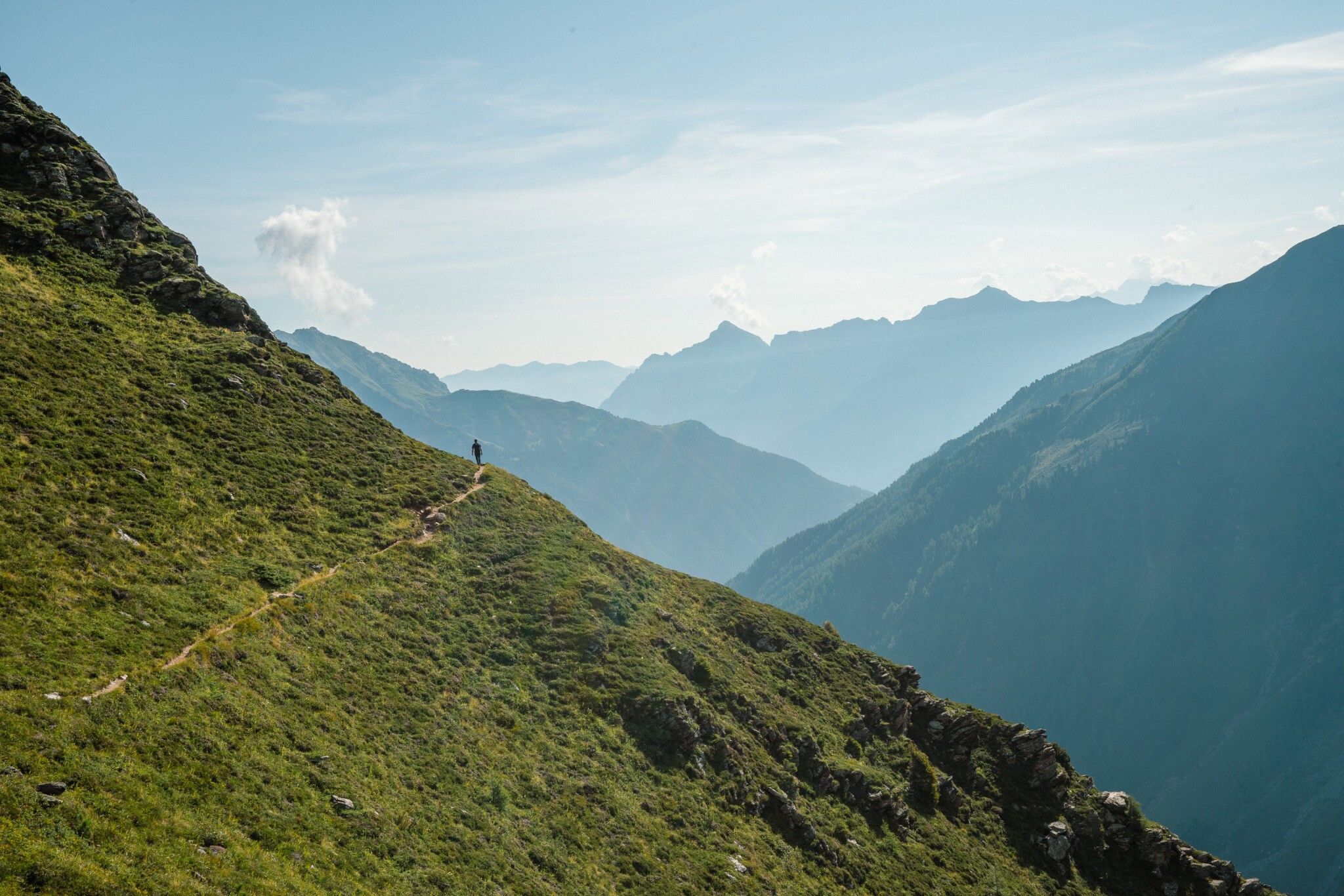
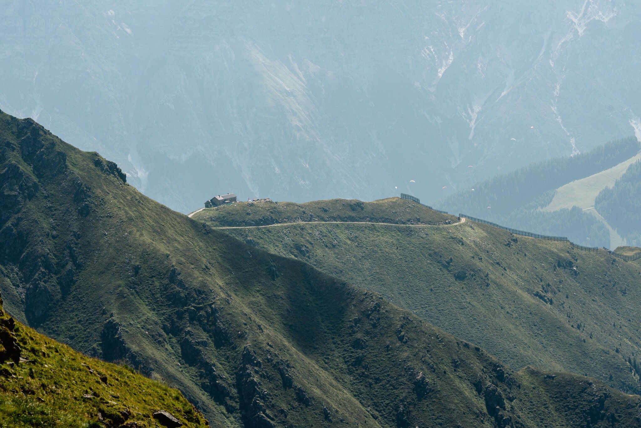
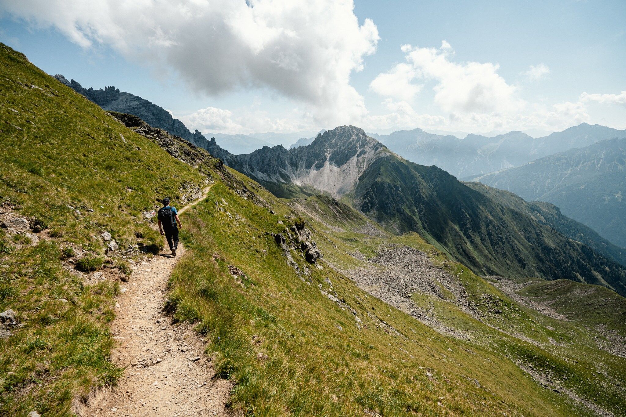
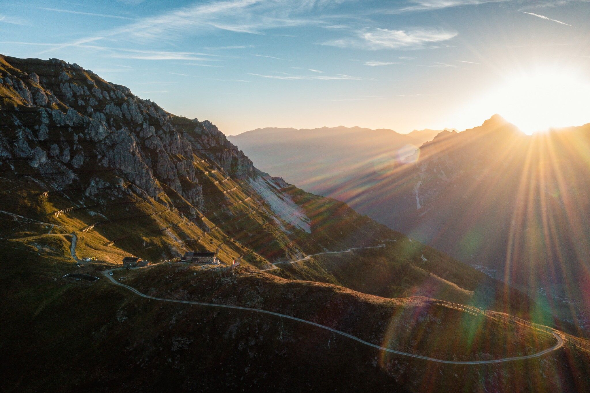
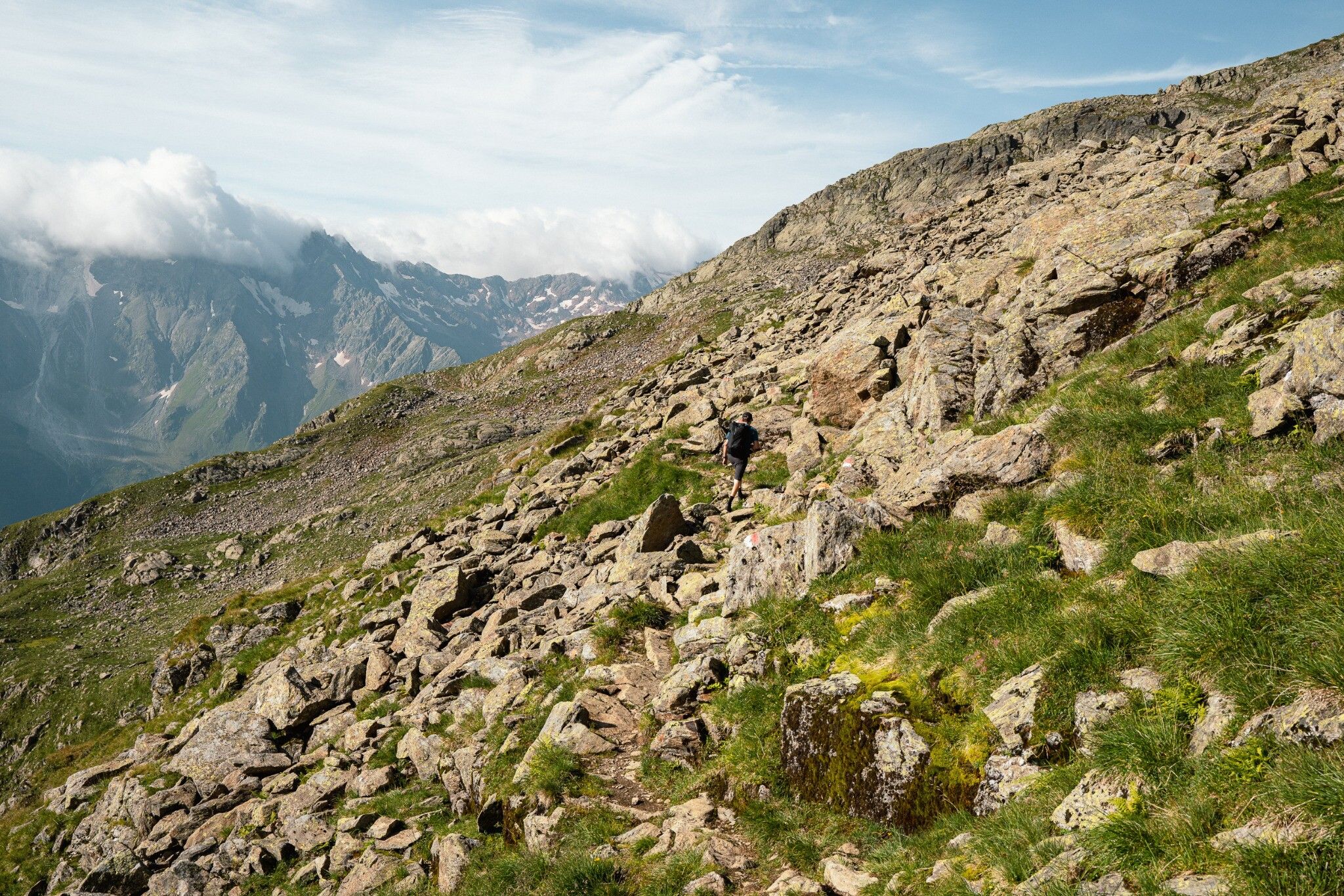
The Stubai High Trail is one of the most beautiful high-altitude hiking trails in the Alps. With a length of almost 100 km and more than 8000 metres of altitude, the Stubai High Altitude Trail also places corresponding demands on mountaineers. Surefootedness, an appropriate basic level of fitness, a head for heights and the right equipment are the basic requirements for getting to know the mountain world of the Stubai Valley from its most beautiful side.

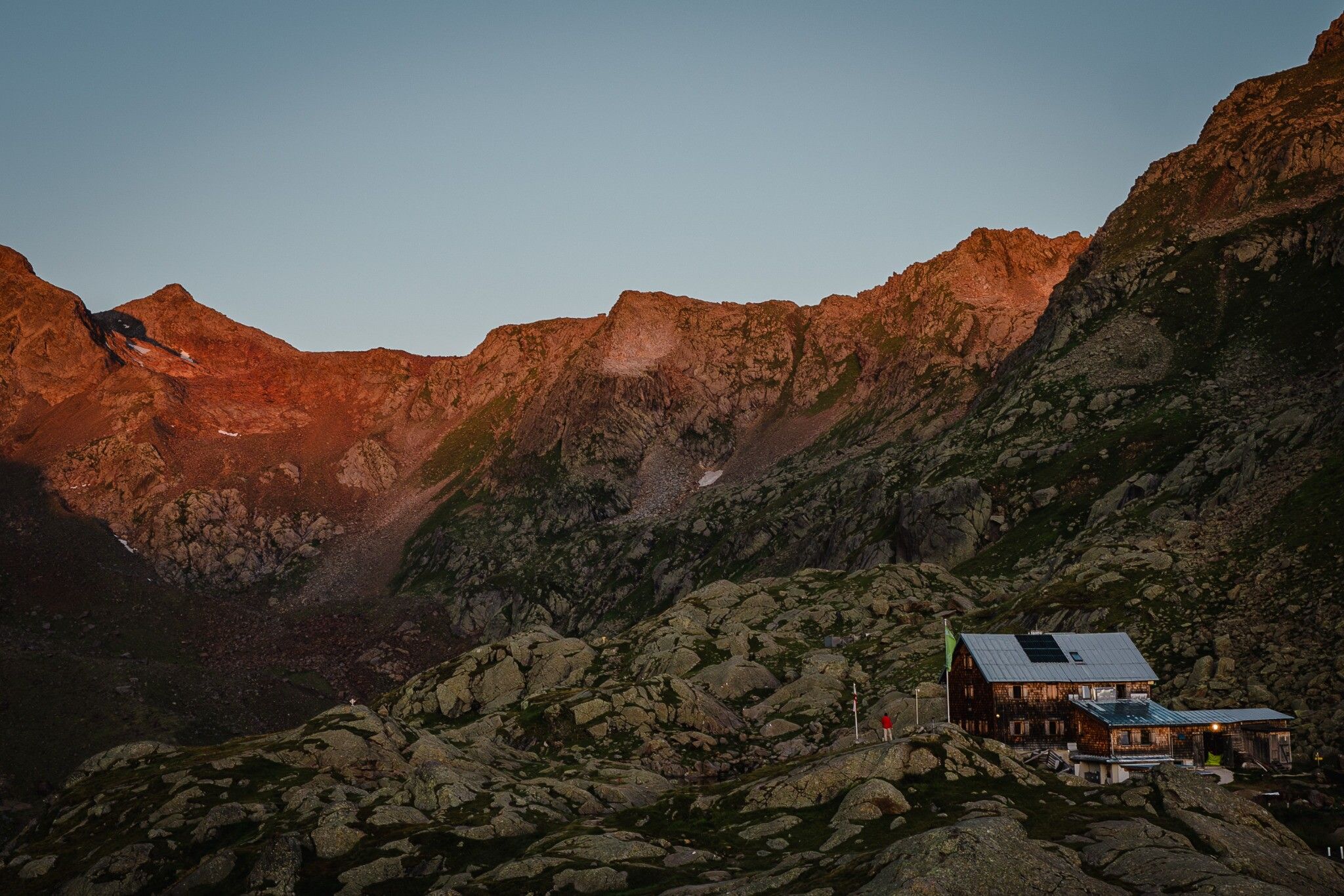
The high-altitude trail can be walked in two directions. The entire tour requires 8 days. The starting and end points are the Innsbrucker Hütte and the Starkenburger Hütte. The Stubai High Trail can also be done in stages. The special feature of the Stubai High Trail is that there are descent options into the valley from each hut, as well as ascent options. This also offers the possibility of walking the Stubai High Trail in sections during several holiday stays.

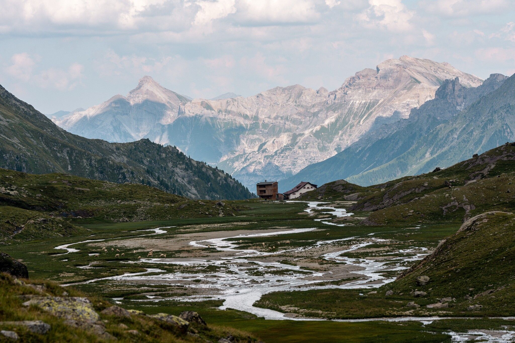
With the good network of public buses you can easily reach the ascents to the huts of the high-altitude trail and after the descent you can easily return to your starting point. The huts of the high-altitude trail, which are well catered for, serve as support points. Hikers receive information about the next stage from the hut keepers personally.

Nearby huts and mountain restaurants

Weather

Today

mainly clear
21°C/8°C
80%4.8l5 km/h

Mon

light rain showers
19°C/10°C
80%2.4l5 km/h

Tue

clear sky
23°C/9°C
5%0l5 km/h
Go to weather forecast

More long-distance hiking trails

  • Karwendel High Trail

    Difficulty:difficult
    Length:70.0 kmDuration:27:30 hElevation uphill:4,470 m
  • Koasa Trail

    Difficulty:medium
    Length:83.0 kmElevation uphill:4,700 m
  • Arlberg Trail

    Difficulty:difficult
    Length:52.1 kmElevation uphill:4,730 m
  • Schober trek

    Difficulty:medium
    Length:32.9 kmDuration:30:00 hElevation uphill:3,262 m
  • Der Große Törlweg

    Difficulty:medium
    Length:29.5 kmDuration:22:30 hElevation uphill:3,558 m
  • Two day tour - Höhenweg Zahmer Kaiser

    Opening hours:open
    Difficulty:medium
    Length:30.0 kmDuration:13:15 hElevation uphill:2,100 m
  • Iseltrail

    Difficulty:medium
    Length:75.3 kmDuration:24:30 hElevation uphill:2,347 m
  • Two days tour Wilder Kaiser

    Difficulty:difficult
    Length:42.5 kmDuration:15:57 hElevation uphill:2,475 m
  • Tour 3

    Difficulty:difficult
    Length:32.8 km
  • Hoch Tirol Trail

    Difficulty:difficult
    Length:28.9 kmDuration:12:30 hElevation uphill:1,519 m
  • Pilgerweg Prägraten a.G.

    Difficulty:medium
    Length:33.1 kmDuration:27:00 hElevation uphill:2,793 m
  • 3-day Family Tour Alpbachtal

    Difficulty:easy
    Length:18.3 kmDuration:7:00 hElevation uphill:998 m
  • Lasörling trek

    Difficulty:medium
    Length:32.5 kmDuration:15:00 hElevation uphill:2,562 m
Newsletter

The mountain is calling? So does our newsletter!

In our monthly newsletter we reveal the best holiday tips for Tyrol.