Themed hikes Treasure Hunt Ochsengarten Sattele Route

Haiming / Stubai Alps
Difficulty ratings: medium
Route length: 6.6 km
Duration: 3:15 h

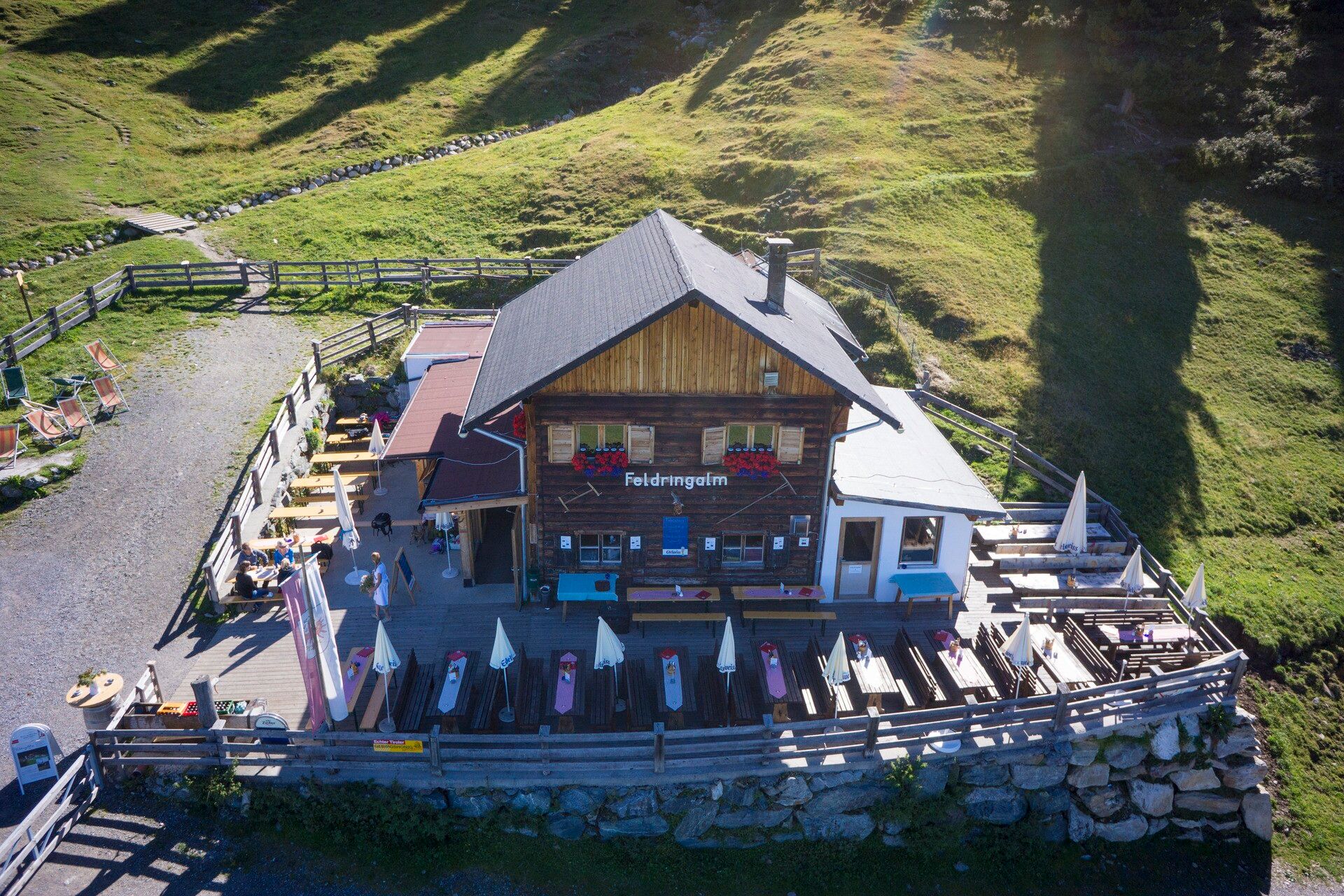
From Sattele, hike along the Kaiser Franz Josef route to Marlstein. From there, go uphill to the Grünwaslkreuz, and then back via the Feldringalm to Sattele. 
Tour information

  • Requirement: medium
  • Length: 6.6 km
  • Duration: 3:15 h
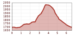
  • Elevation uphill:342 hm
  • Elevation downhill:342 hm
Highest point2,026 m

Starting point

Ochsengarten Sattele parking lot

Finishing point

Ochsengarten Sattele parking lot
  • Fitness level 4 / 6

Best time of year

  • January
  • February
  • March
  • April
  • May
  • June
  • July
  • August
  • September
  • October
  • November
  • December

Equipment

Good hiking shoes, snack, and drink

Source: TVB Ötztal Tourismus

Description

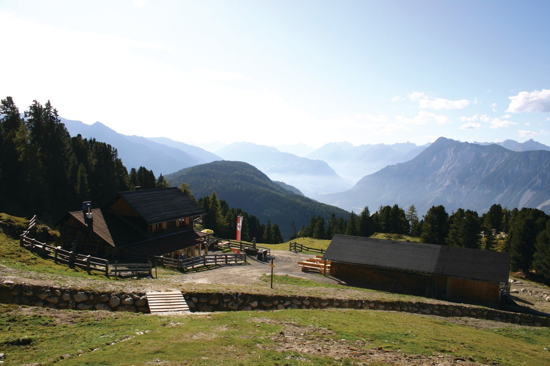
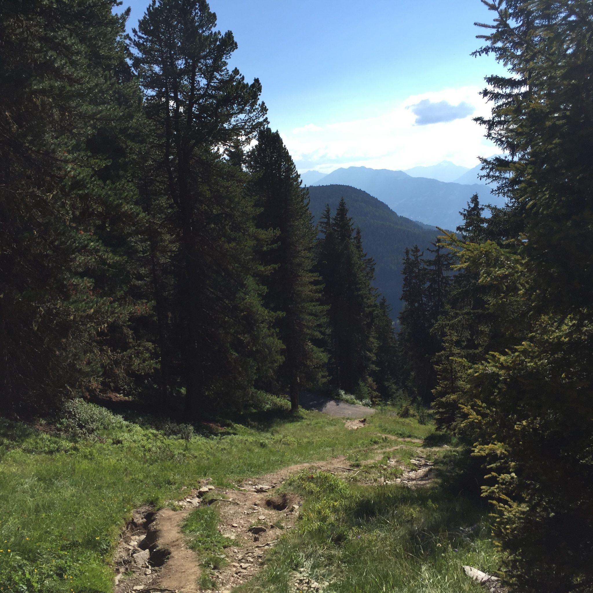
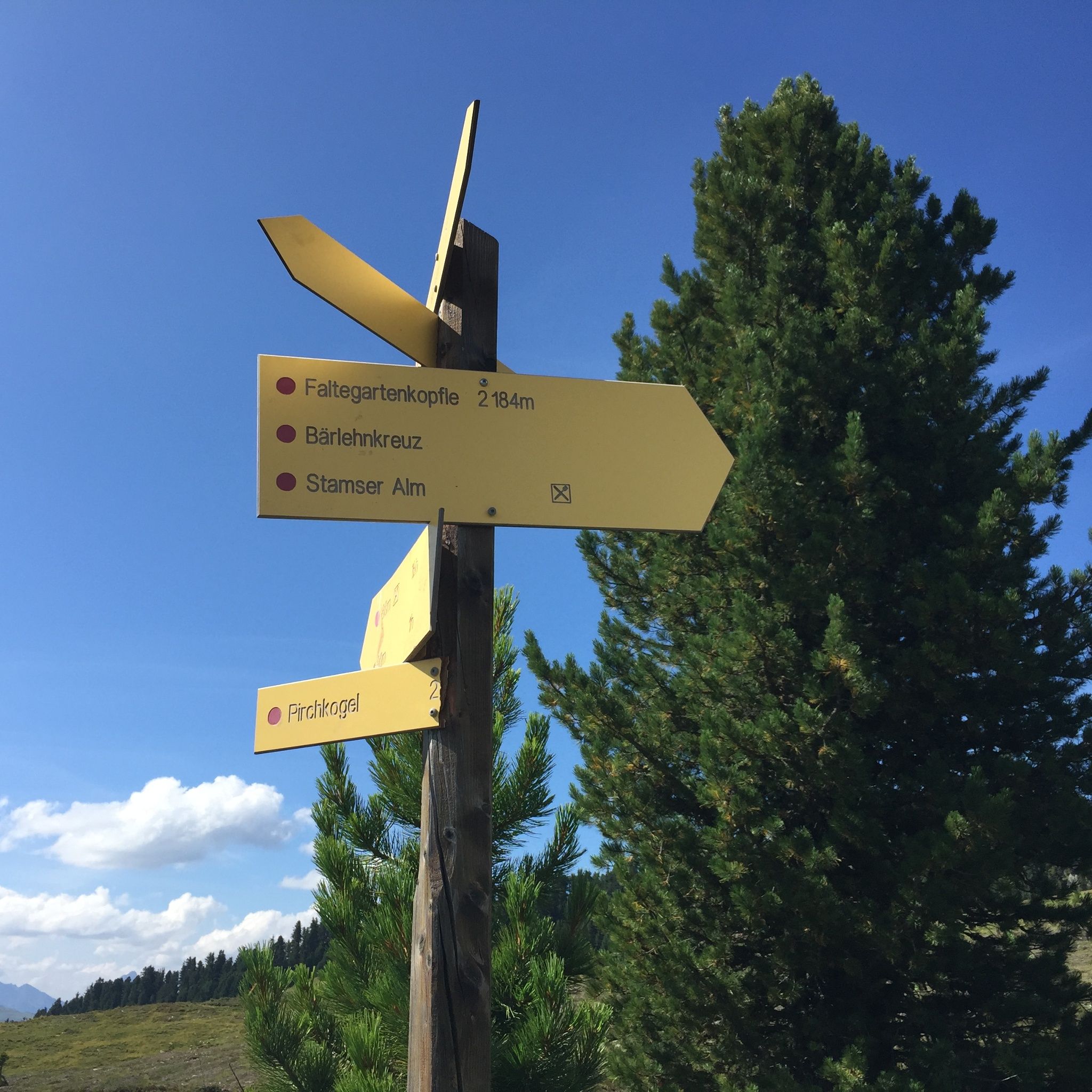
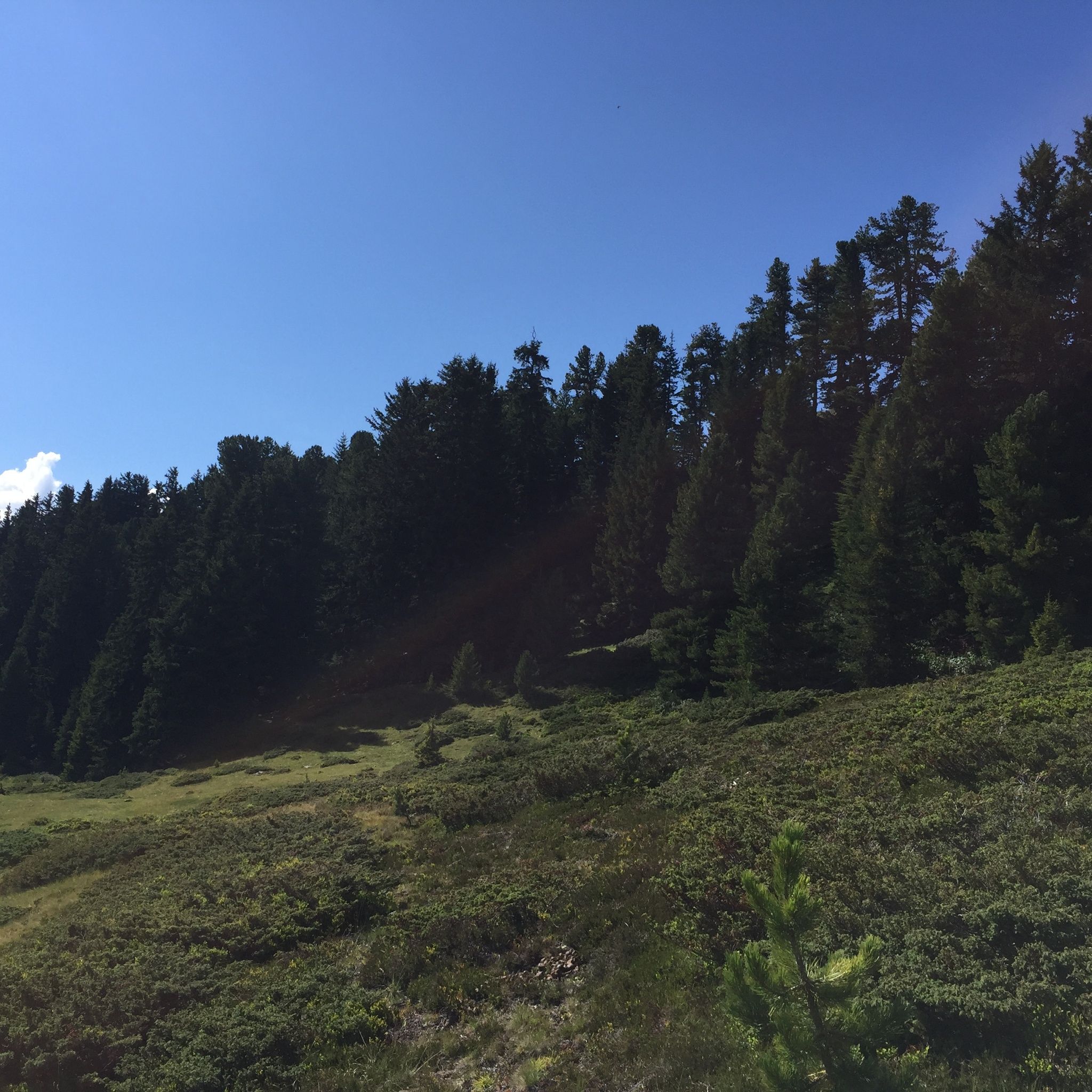
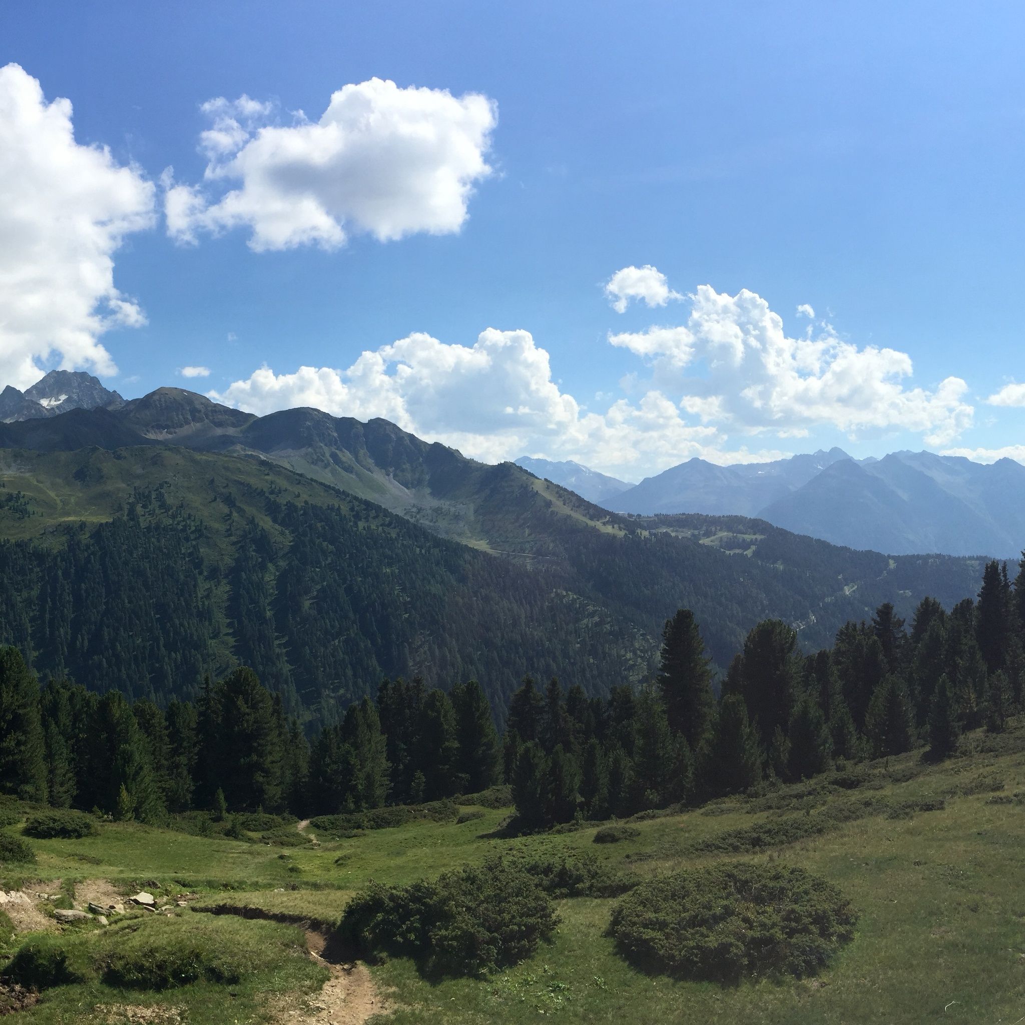
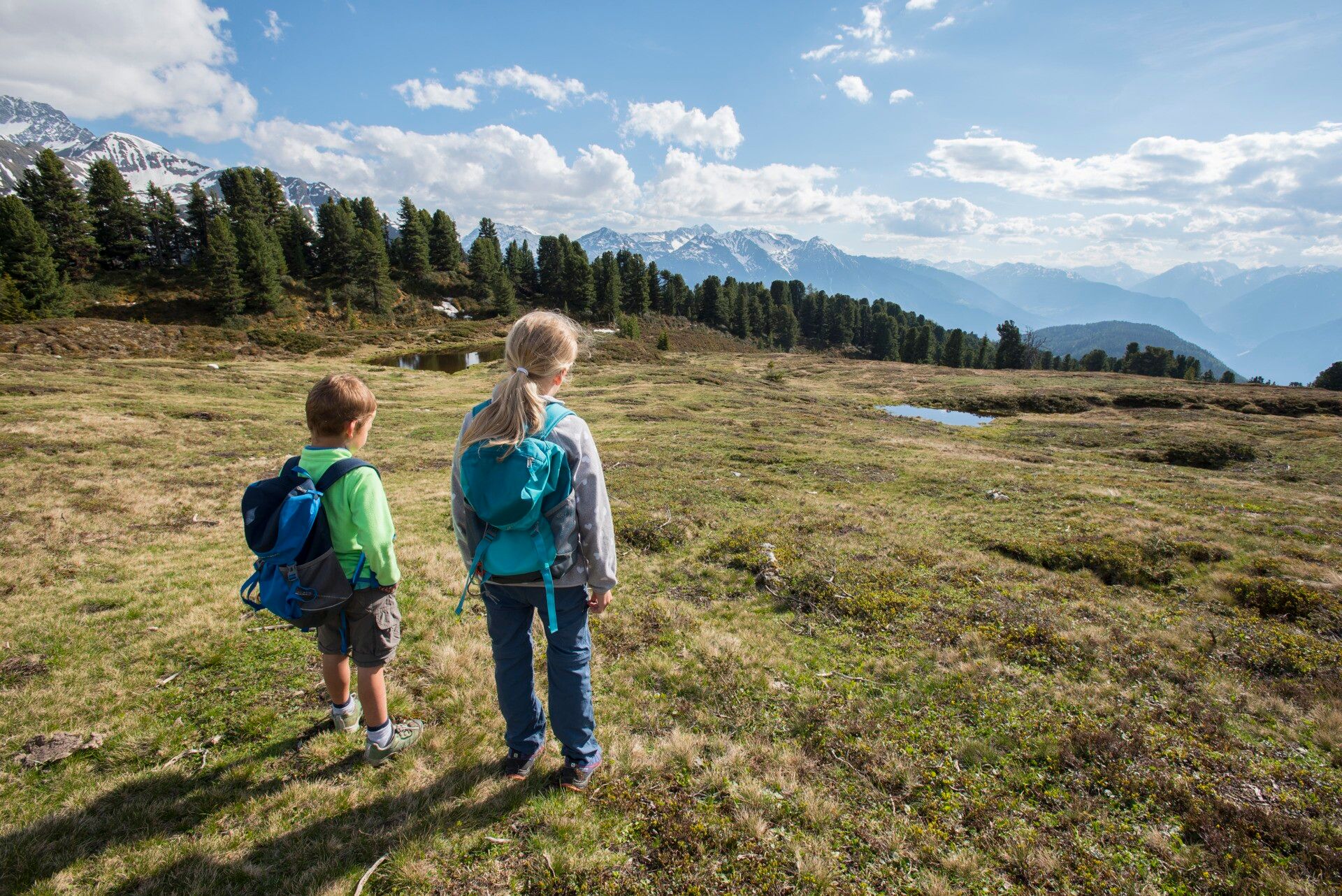
Experience a breathtaking hike from the Sattele parking lot along the Kaiser Franz Josef route towards Marlstein. From there, the path leads uphill to the Grünwaslkreuz, located below the Faltegartenköpfl. Across lush alpine pastures with small lakes and moors, continue over the Feldringer grounds through the pine forest to the Feldringalm before returning to the starting point Sattele. This route offers unparalleled views of the majestic Tyrolean mountains and leads through picturesque landscapes and fragrant forests. Enjoy the silence of nature and encounters with cows and horses along the way.

Along the marked route, there are small caches (treasure boxes). In each cache, you will find secret letters. Enter all letters into your treasure map. Only those who have collected all the letters can form the solution word. With this solution word, you can claim a gift at the information centers in Ochsengarten, Oetz, or at the Ötztal Infopoint!


Nearby huts and mountain restaurants

Getting here

  • Arrival by public transport

    Take the bus to Ochsengarten village – from there continue on foot. 

  • Parking

    Take the B186 to Oetz and then the Kühtai road L237 to Ochsengarten. 


    Directly at the Sattele parking lot (paid) 

Weather

Today

clear sky
16°C/3°C
5%0l5 km/h

Wed

light rain
13°C/4°C
65%0.9l5 km/h

Thu

mainly clear
13°C/3°C
0%0l5 km/h
Go to weather forecast

More tours in the surrounding area

  • Ötztaler Urweg

    Difficulty:difficult
    Length:177.2 kmDuration:60:49 hElevation uphill:7,541 m
  • Ötztal Trek Stage 17

    Difficulty:difficult
    Length:16.4 kmDuration:6:00 hElevation uphill:1,080 m
  • Ötztal Trek Stage 16

    Difficulty:difficult
    Length:6.9 kmDuration:2:30 hElevation uphill:358 m
  • Ötztal Trek Stage 20

    Difficulty:medium
    Length:6.4 kmDuration:3:00 hElevation uphill:610 m
  • Ötztal Trek Stage 22

    Difficulty:difficult
    Length:21.5 kmDuration:8:00 hElevation uphill:647 m
  • Ötztal Trek Stage 21

    Difficulty:difficult
    Length:9.4 kmDuration:4:30 hElevation uphill:1,270 m
  • Ötztal Trek Stage 6

    Difficulty:difficult
    Length:7.6 kmDuration:3:30 hElevation uphill:640 m
  • Ötztal Trek Stage 4

    Difficulty:difficult
    Length:8.9 kmDuration:4:00 hElevation uphill:802 m
  • Ötztal Trek Stage 14

    Difficulty:difficult
    Length:6.3 kmDuration:3:00 hElevation uphill:1,004 m
  • Ötztal Trek Stage 3

    Difficulty:difficult
    Length:10.4 kmDuration:4:00 hElevation uphill:842 m
  • Ötztal Trek Stage 5

    Difficulty:difficult
    Length:8.1 kmDuration:3:30 hElevation uphill:1,105 m
  • Ötztal Trek Stage 10

    Opening hours:closed
    Difficulty:difficult
    Length:11.1 kmDuration:4:30 hElevation uphill:1,476 m
  • Ötztal Trek Stage 7

    Difficulty:difficult
    Length:5.3 kmDuration:2:00 hElevation uphill:376 m
  • Ötztal Trek Stage 8

    Difficulty:difficult
    Length:9.3 kmDuration:3:30 hElevation uphill:274 m
  • Ötztal Trek

    Length:246.4 kmDuration:84:25 hElevation uphill:18,910 m
  • Ötztal Trek Stage 12

    Difficulty:difficult
    Length:4.8 kmDuration:2:00 hElevation uphill:592 m
  • Ötztal Trek Stage 1

    Difficulty:medium
    Length:18.6 kmDuration:6:30 hElevation uphill:1,561 m
  • Ötztal Trek Stage 11

    Difficulty:difficult
    Length:12.0 kmDuration:5:00 hElevation uphill:705 m
  • Wilder Mann

    Difficulty:medium
    Length:7.0 kmDuration:2:30 hElevation uphill:665 m
Newsletter

The mountain is calling? So does our newsletter!

In our monthly newsletter we reveal the best holiday tips for Tyrol.