Long-distance hike Via Romea Germanica – The Tyrolean Stages (Mittenwald to Brenner Pass)

Difficulty ratings: difficult
Route length: 87.0 km
Duration: 26:00 h

In Austria, the Via Romea Germanica is divided into 4 daily stages.
Tour information

  • Requirement: difficult
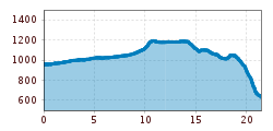
  • Length: 87.0 km
  • Duration: 26:00 h
  • Elevation uphill:1,860 hm
  • Elevation downhill:1,390 hm
Highest point1,377 m

Starting point

Mittenwald

Finishing point

Passo Del Brennero

Features

  • Multi-day hike

Best time of year

  • January
  • February
  • March
  • April
  • May
  • June
  • July
  • August
  • September
  • October
  • November
  • December
Source: Region Seefeld - Tirols Hochplateau

Description

It has long been known, and not just among pilgrims, that all roads lead to Rome. With the Via Romea, a historic pilgrimage route from Stade near Hamburg via Tyrol to Rome has now been officially certified.

The pilgrimage route, which covers a total of 2,200 kilometres, dates back to Albert von Stade, abbot of the German monastery of the same name, who meticulously documented his pilgrimage to Rome, including a papal audience with Gregory IX in 1236. This allowed the pilgrimage route he named "Via Romea" to be reconstructed exactly. Today, the German and Italian associations "Via Romea Germanica" share the maintenance.

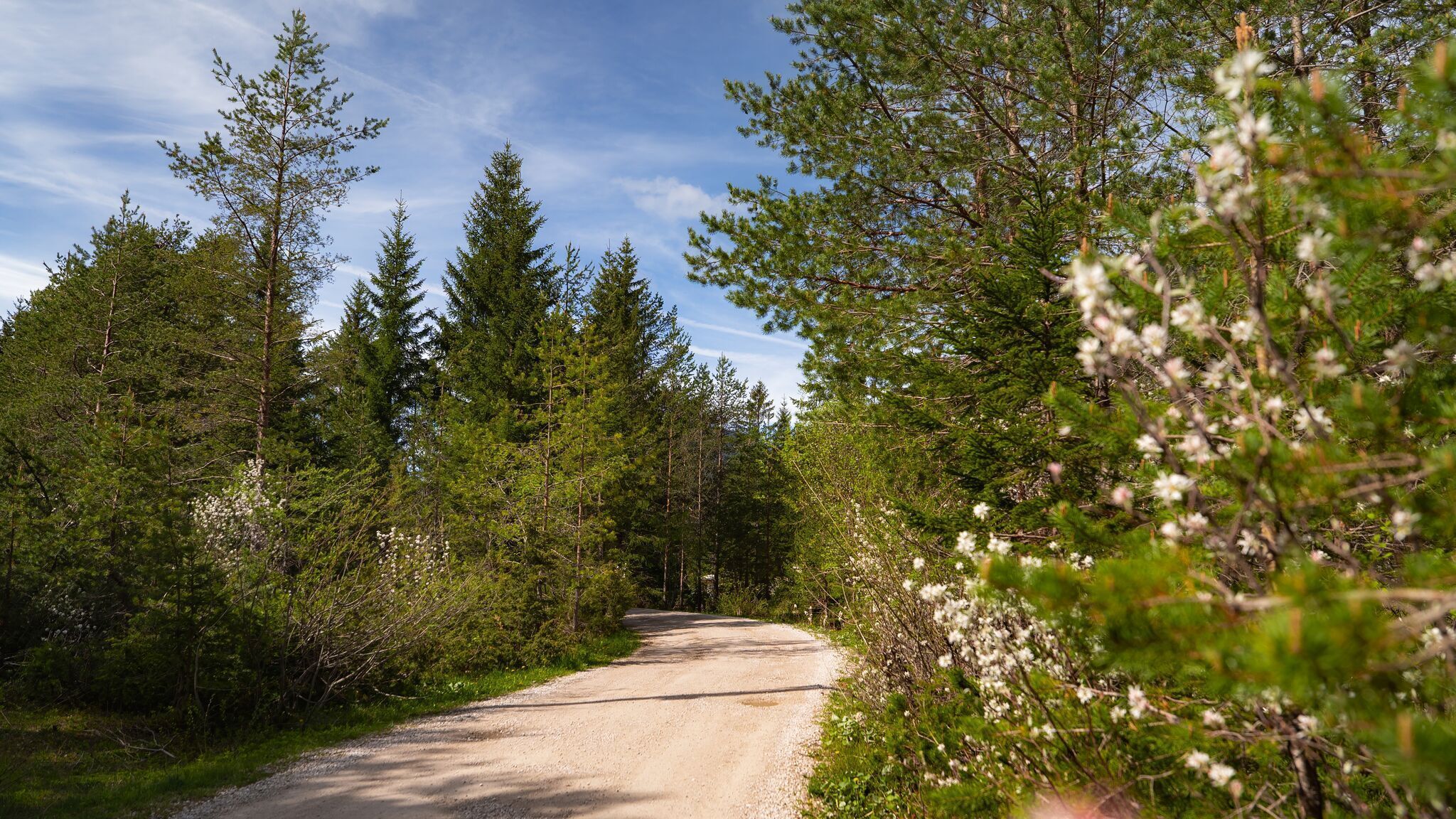
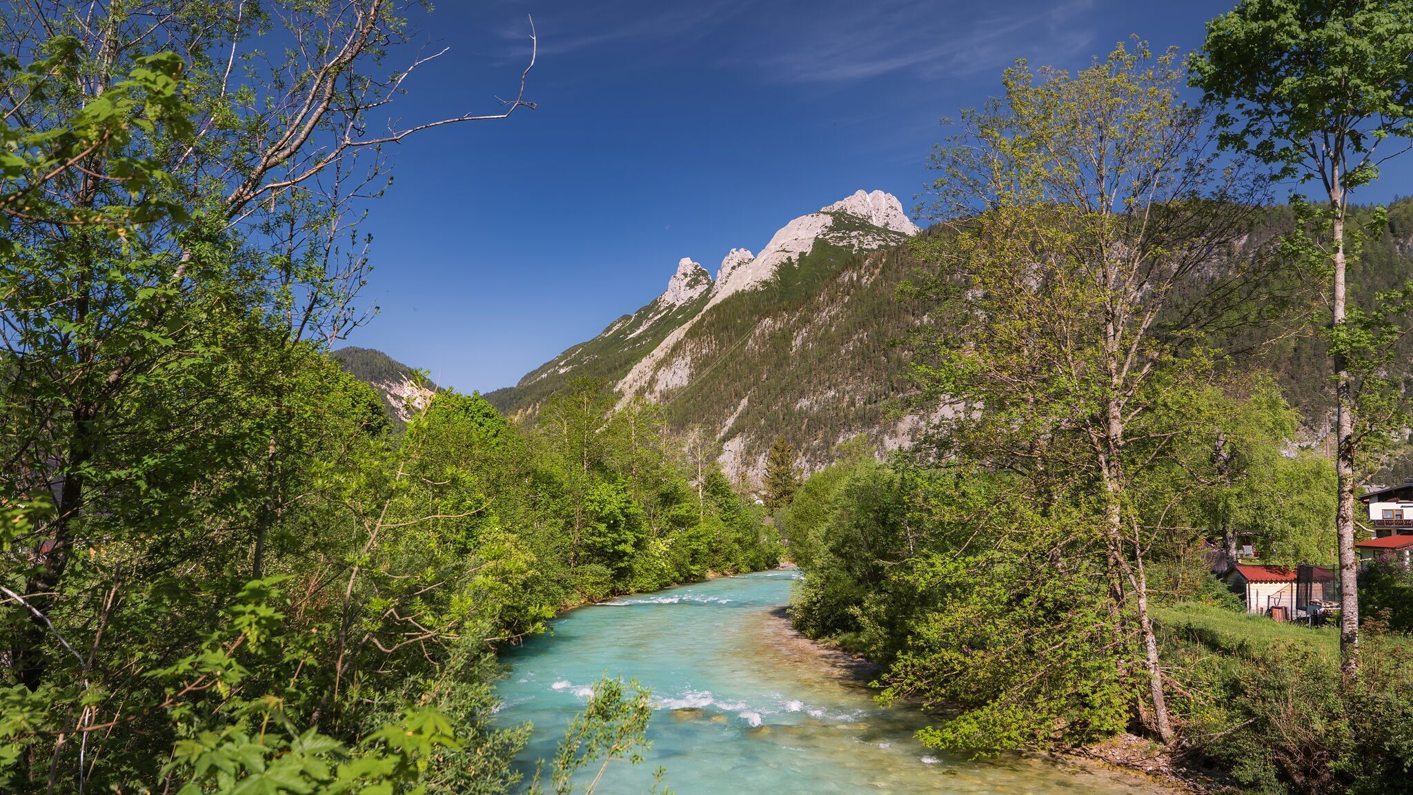
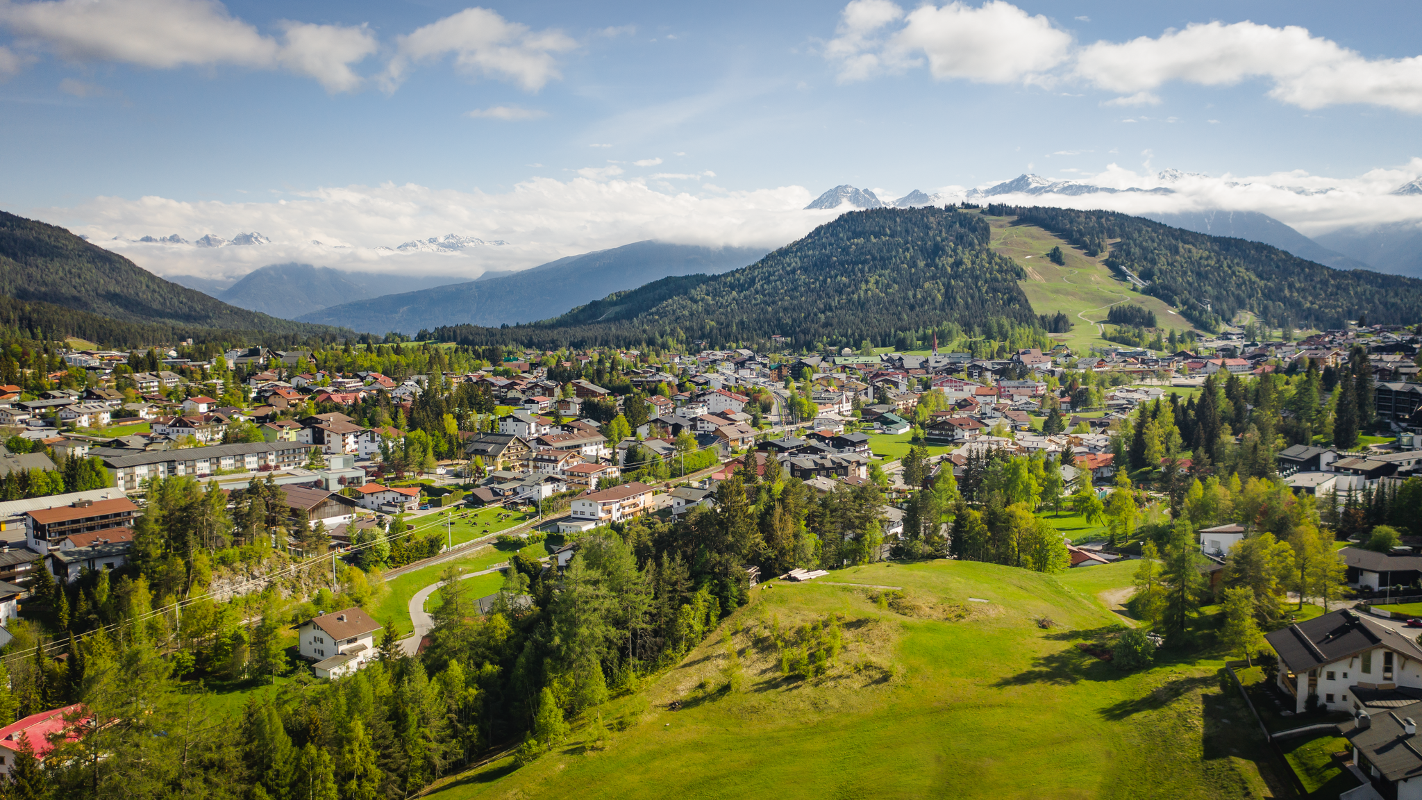
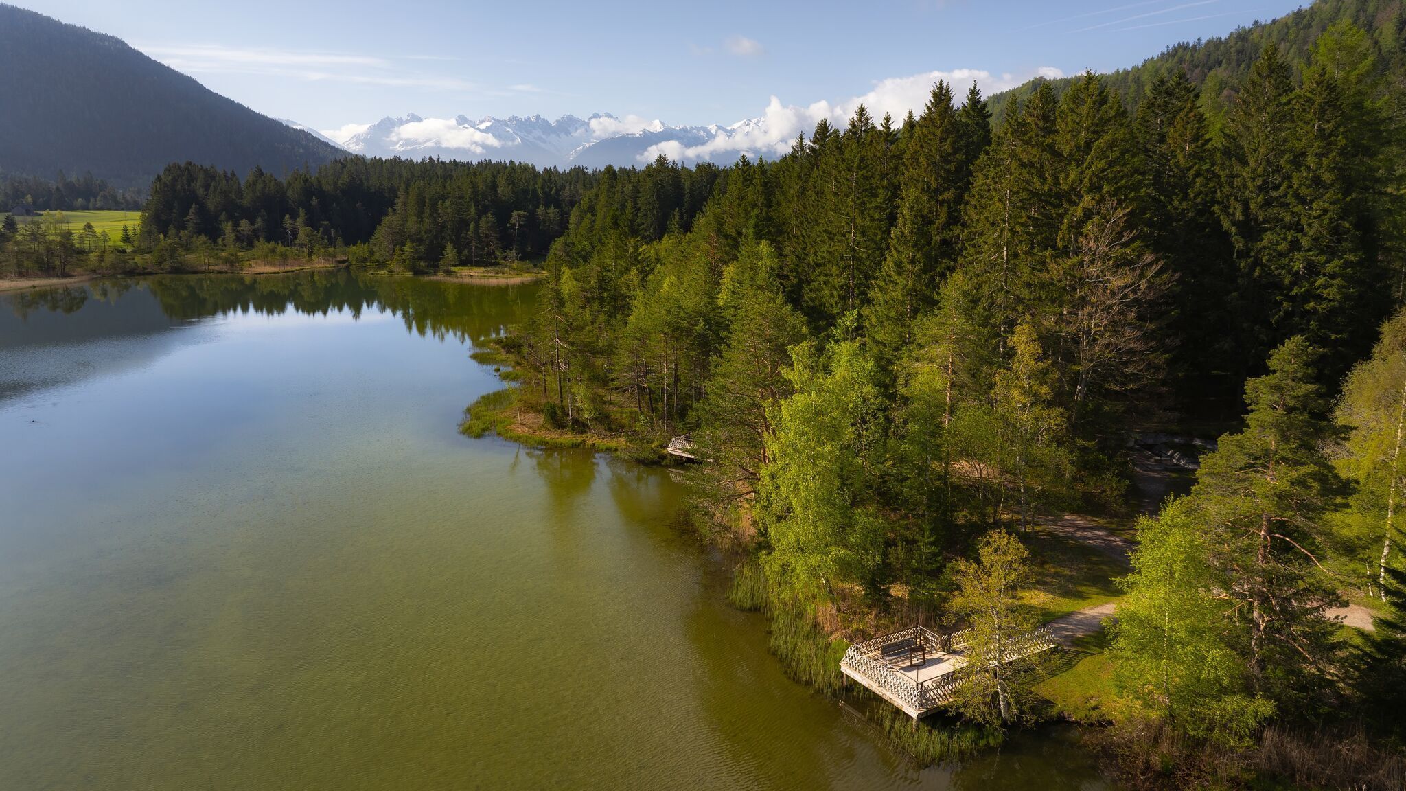
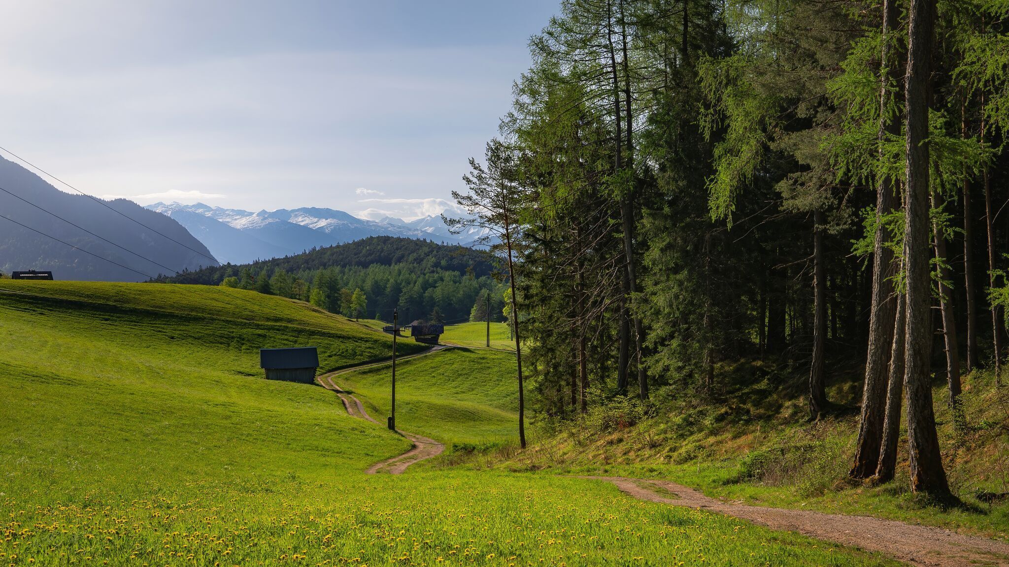
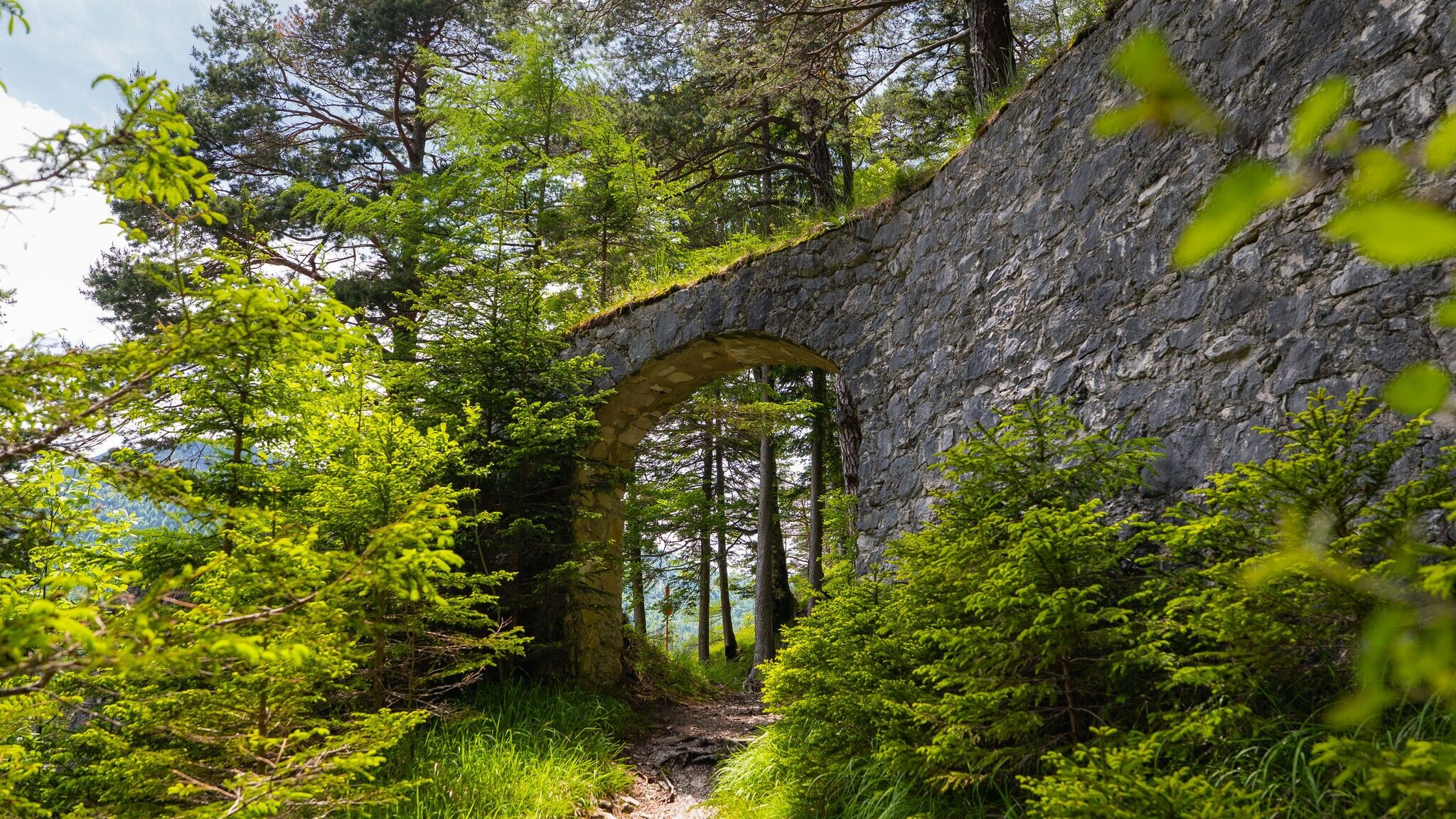
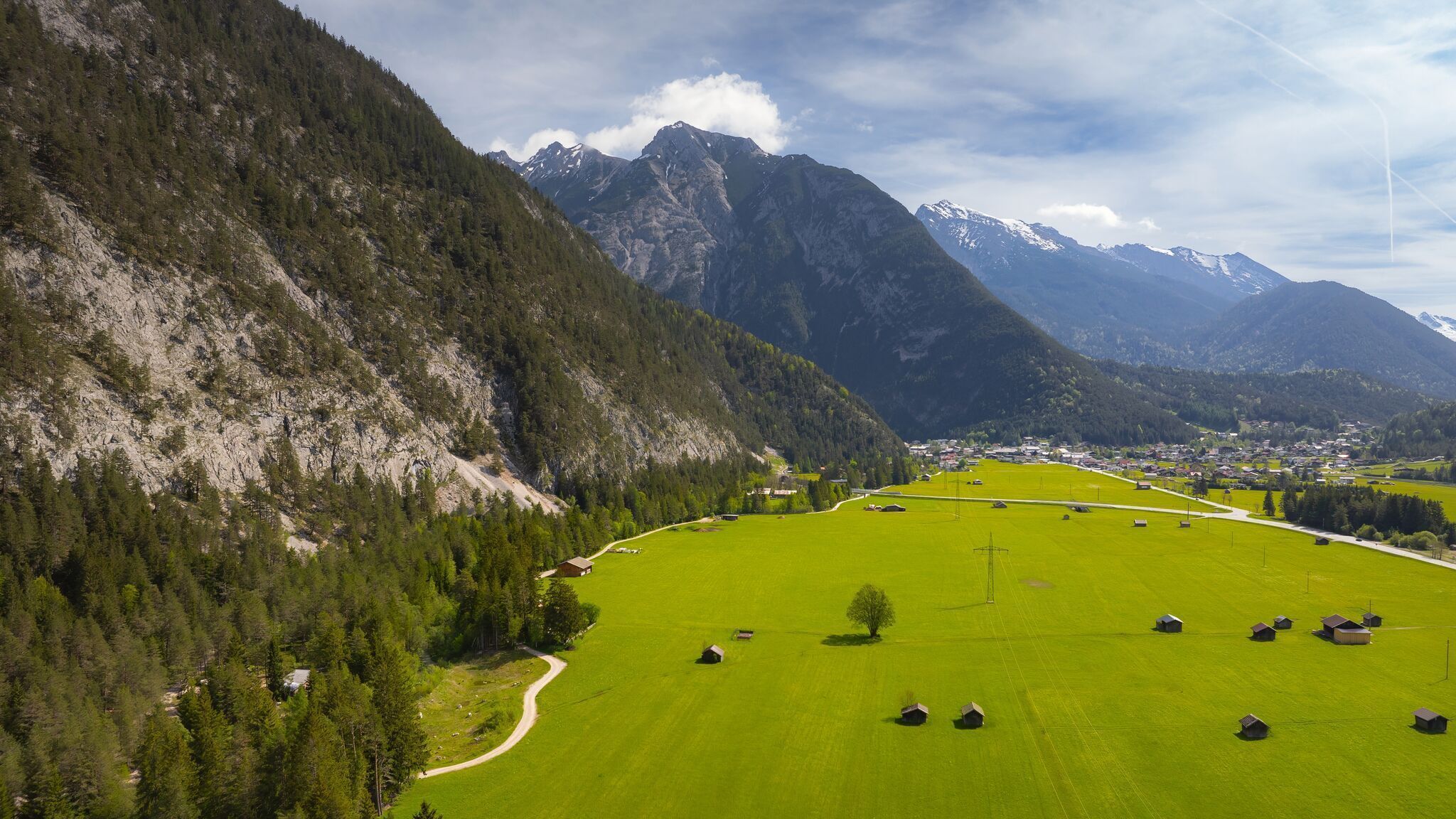
One of the most beautiful sections of the pilgrimage route leads for 80 kilometres and four stages through Tyrol and the extensive natural diversity of the Region Seefeld - Tirols Hochplateau. At Scharnitz, pilgrims set foot on Tyrolean soil for the first time in the shadow of the historic Alpine fortress Porta Claudia. Here they experience the impressive landscape along the Isar, hike past the Gießenbach and cross the Lehenwald. Following in the footsteps of the ancient Romans, the route continues along the extensive Naturpark Karwendel to Seefeld, the internationally renowned heart of the Region Seefeld (Stage 1).

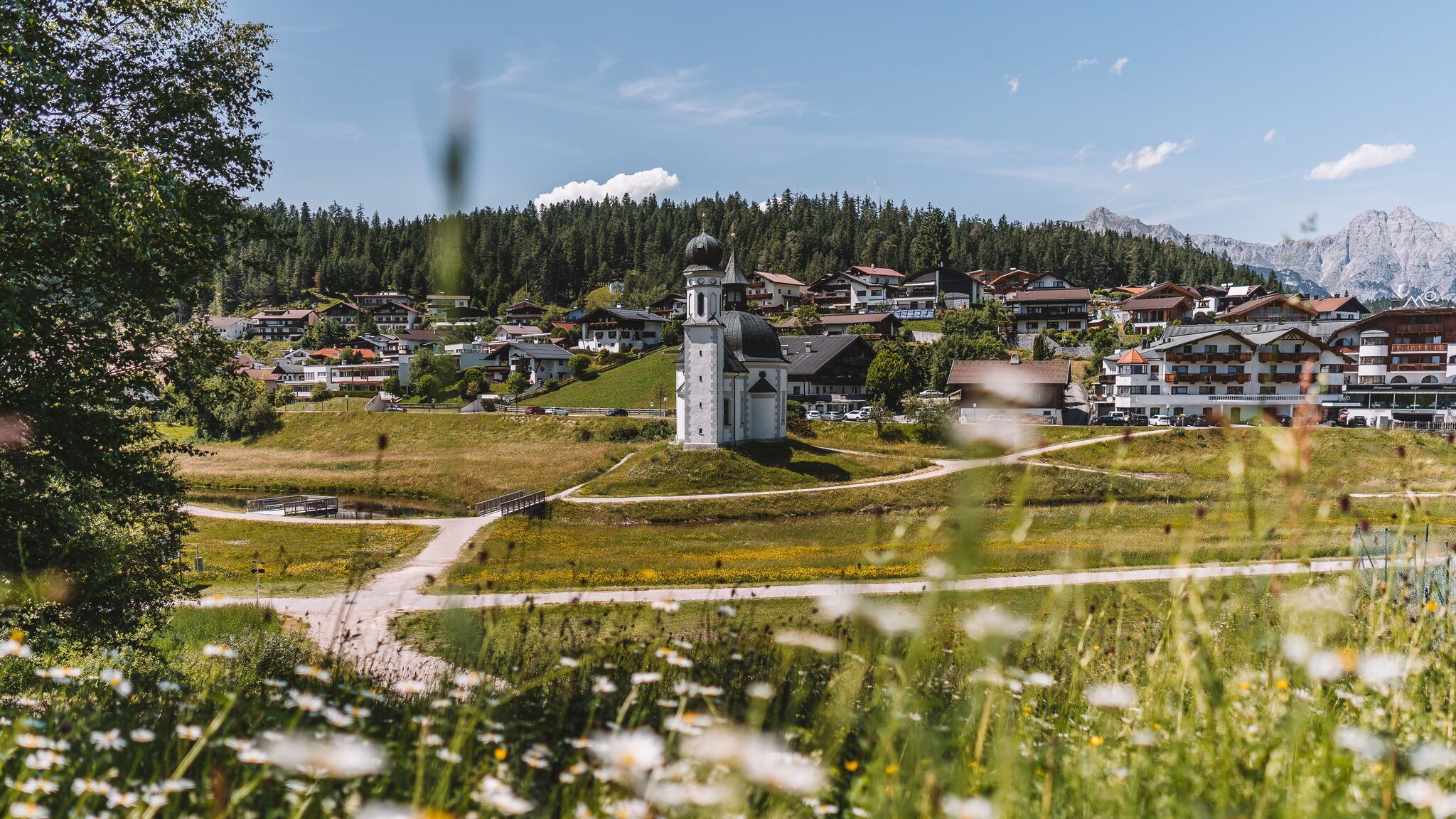
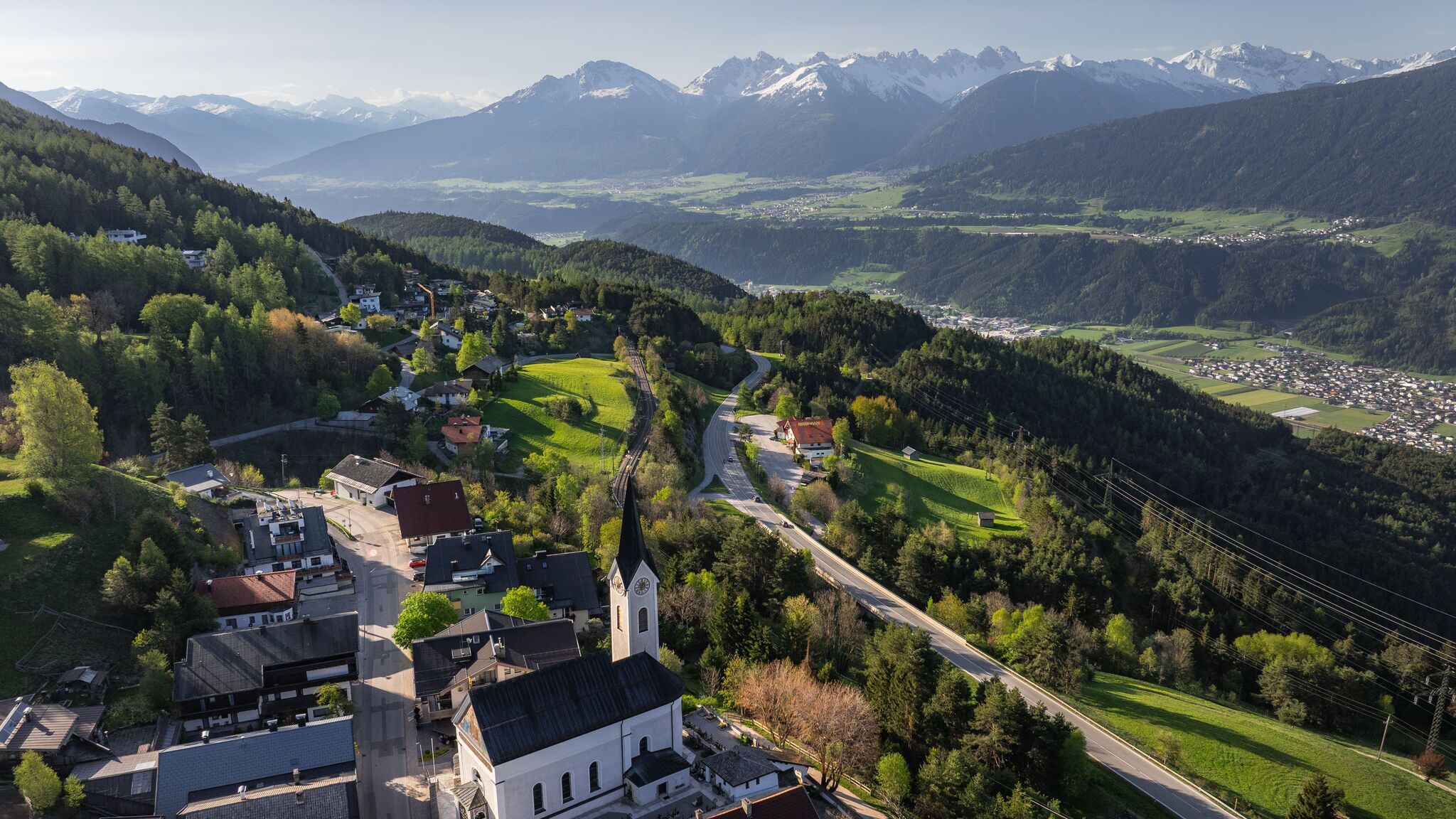
Once in Seefeld, pilgrims can explore the charming pedestrian zone, visit the historic Pfarrkirche St. Oswald and enjoy the picturesque Wildsee. The pilgrimage route then leads via Auland, Reith and Leithen to Zirl and on to Innsbruck, the capital of Tyrol (Stage 2). In Leithen, a detour to the St. Magnus Kapelle is worthwhile; the villages also offer a magnificent view of the Inntal.

The route continues through the Wipptal and via Matrei (Stage 3) to the Brennerpass (Stage 4), where you finally cross the Alps into South Tyrol and Italy.

On their route through Tyrol, pilgrims hike through varied landscapes and forms of vegetation, experiencing cultural highlights, locations steeped in history and authentic Tyrolean hospitality on what has always been the most important Alpine route to the south.

Based on a text by Ferdinand Treml, Via Romea Germanica.

Weather

Today

moderate rain
18°C/9°C
90%20.2l10 km/h

Thu

cloudy
15°C/8°C
30%2.1l10 km/h

Fri

cloudy
16°C/8°C
25%0l10 km/h
Go to weather forecast

More long-distance hiking trails

  • 3-day hut tour Wilder Kaiser

    Difficulty:difficult
    Length:24.6 kmDuration:14:00 hElevation uphill:2,060 m
  • Karwendel tour

    Difficulty:difficult
    Length:44.2 kmDuration:24:00 hElevation uphill:3,955 m
  • Talweg Matrei i. O.

    Difficulty:medium
    Length:15.3 kmDuration:4:50 hElevation uphill:397 m
  • Gschnitztaler Hüttenstern

    Difficulty:medium
    Length:10.8 kmDuration:4:14 hElevation uphill:538 m
  • 4 days - 4 summits tour

    Difficulty:medium
    Length:54.4 kmDuration:23:00 hElevation uphill:3,408 m
  • 3-day Family Tour Alpbachtal

    Difficulty:easy
    Length:18.3 kmDuration:7:00 hElevation uphill:998 m
  • Tiroler Burgenweg

    Difficulty:medium
    Length:63.0 kmDuration:25:00 hElevation uphill:2,228 m
  • 3-Tages-Tour Wilder

    Difficulty:difficult
    Length:11.0 kmDuration:4:51 hElevation uphill:1,122 m
  • 3-Tages-Tour Wilder

    Difficulty:difficult
    Length:13.6 kmDuration:7:09 hElevation uphill:694 m
  • The Höfe Trail

    Difficulty:easy
    Length:51.2 kmDuration:10:15 hElevation uphill:1,988 m
  • Arlberg Trail

    Difficulty:difficult
    Length:52.1 kmElevation uphill:4,730 m
  • Gschnitztaler Hüttenstern

    Difficulty:medium
    Length:82.1 kmDuration:4:00 hElevation uphill:5,503 m
  • 2TälerTrail

    Difficulty:medium
    Length:92.0 kmDuration:41:30 hElevation uphill:5,550 m
  • Hoch Tirol Trail

    Difficulty:difficult
    Length:28.9 kmDuration:12:30 hElevation uphill:1,519 m
Newsletter

The mountain is calling? So does our newsletter!

In our monthly newsletter we reveal the best holiday tips for Tyrol.