Open interactive mapOpen this POI on the interactive mapElevation profile
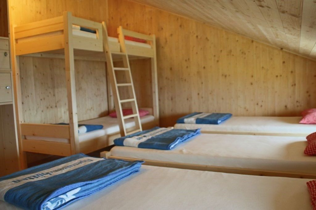
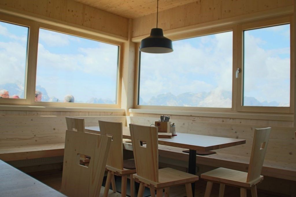
Alpine refuge Sillianer Hütte.gpx
Description
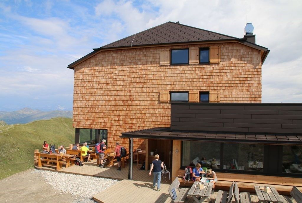
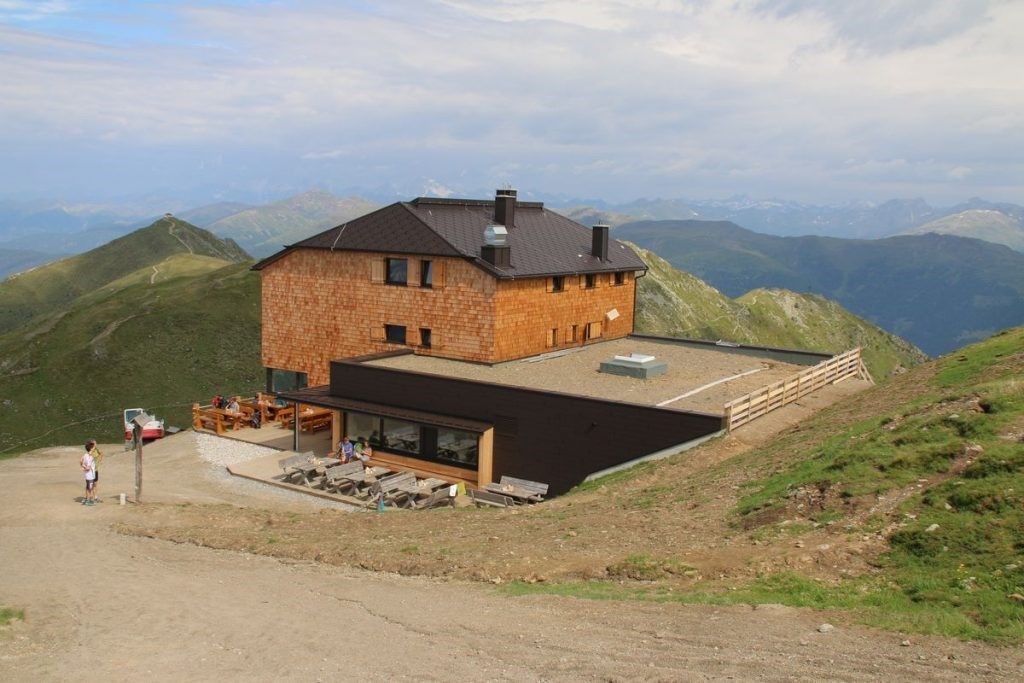
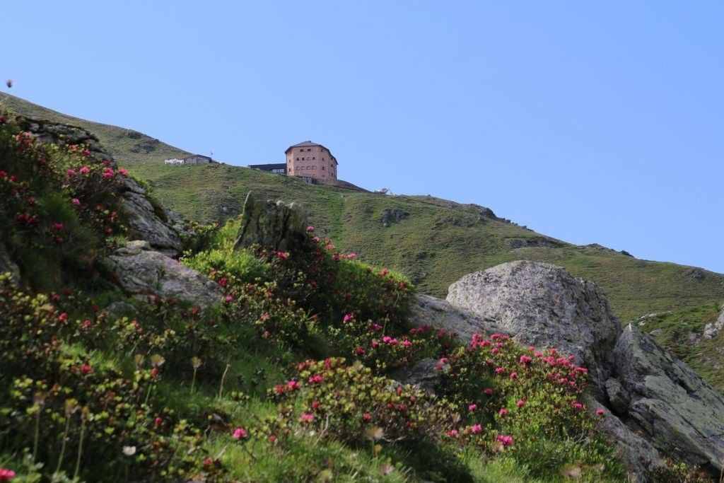
From Leckfeldalm without any navigational issue to Sillianer Hütte. Superb view to the Sexten Dolomites and the Villgrater mountains!
Hut Sillianer Hütte 2.447 mPlace: Sillian : Alpine pasture / hut / mountain restaurant see restaurant detailssee restaurant details: Hut Sillianer Hütte 2.447 m
Filmoor-Standschützenhütte über das LeitertalDifficulty: medium Length: 8.5 km Duration: 5:30 h Elevation uphill: 900 m See trailSee trail: Filmoor-Standschützenhütte über das Leitertal
Sillianer Hütte © TVBOsttirol Carnic altitude trail. Stage 2: Sillianer Hütte- Obstansersee HütteDifficulty: medium Length: 8.7 km Elevation uphill: 503 m See trailSee trail: Carnic altitude trail. Stage 2: Sillianer Hütte- Obstansersee Hütte
Europakreuz auf der Gr. Kinigat © A. Goller Carnic altitude trail. Stage 3: Obstansersee Hütte – PorzehütteDifficulty: medium Length: 11.3 km Duration: 6:00 h Elevation uphill: 650 m See trailSee trail: Carnic altitude trail. Stage 3: Obstansersee Hütte – Porzehütte
Abstieg in Richtung Oberstalleralm © edifilm75 Herz-Ass VillgratentalDifficulty: medium Length: 76.0 km Duration: 34:00 h Elevation uphill: 5,750 m See trailSee trail: Herz-Ass Villgratental
Höfe Trail stage 2: Kartitsch - ObertilliachDifficulty: easy Length: 10.8 km Duration: 3:45 h Elevation uphill: 435 m See trailSee trail: Höfe Trail stage 2: Kartitsch - Obertilliach
GEsamtweg©_Peter_Maier_Hoefe_Trail (41).jpg © Peter Maier The Höfe TrailDifficulty: easy Length: 50.6 km Duration: 10:15 h Elevation uphill: 1,882 m See trailSee trail: The Höfe Trail
Toblacher Pfannhorn © Ingrid Bodner Toblacher PfannhornDifficulty: medium Length: 9.8 km Duration: 4:30 h Elevation uphill: 1,020 m See trailSee trail: Toblacher Pfannhorn
Große Kinigat © TVB Osttirol/Herdieckerhoff Thomas (www.germanadventurer.com) Große KinigatDifficulty: difficult Length: 8.5 km Elevation uphill: 1,250 m See trailSee trail: Große Kinigat
volkzeiner-huette-sommer-c-troyer-johanna.jpg © TVB Osttirol_Troyer Johanna Volkzeiner HütteDifficulty: easy Length: 13.4 km Duration: 3:30 h Elevation uphill: 370 m See trailSee trail: Volkzeiner Hütte
Dorfberg © I. Bodner DorfbergDifficulty: medium Length: 17.6 km Duration: 5:30 h Elevation uphill: 770 m See trailSee trail: Dorfberg
Oberstalleralm © Roman Huber OberstalleralmDifficulty: easy Length: 2.8 km Duration: 0:50 h Elevation uphill: 170 m See trailSee trail: Oberstalleralm
Obstansersee Hütte – PfannspitzeDifficulty: medium Length: 14.4 km Duration: 6:30 h Elevation uphill: 1,250 m See trailSee trail: Obstansersee Hütte – Pfannspitze
Sunrise Golzentipp, Obertilliach_TVB Osttirol_Trauner Carolina_Obertilliach © TVB Osttirol | Carolina Trauner Golzentipp 2.317 mDifficulty: easy Length: 5.6 km Duration: 2:00 h Elevation uphill: 267 m See trailSee trail: Golzentipp 2.317 m
Schwarzsee © Schwarzsee Lake SchwarzseeDifficulty: medium Length: 7.8 km Duration: 3:30 h Elevation uphill: 790 m See trailSee trail: Lake Schwarzsee
Walderalm © Hall Wattens Von Gandenwald/Kranzach zur WalderalmDifficulty: medium Length: 9.9 km Duration: 4:30 h Elevation uphill: 611 m See trailSee trail: Von Gandenwald/Kranzach zur Walderalm
Walderalm © Tourismusverband Region Hall-Wattens Ganalm-WalderalmDifficulty: difficult Length: 15.4 km Duration: 4:00 h Elevation uphill: 662 m See trailSee trail: Ganalm-Walderalm
Etappe1Höfe_Trail_2022-215@Peter Maier (2).jpg © Peter Maier Höfe Trail stage 1: Sillian - KartitschOpening hours: closed Difficulty: easy Length: 11.7 km Duration: 3:00 h Elevation uphill: 551 m See trailSee trail: Höfe Trail stage 1: Sillian - Kartitsch
winterwandern-kollreider-weg-kartitsch-c-c.klammer-18.jpg © Christina Klammer Oswald Kollreider-Wiesenweg artists' pathOpening hours: open Difficulty: easy Length: 3.8 km Duration: 1:00 h Elevation uphill: 80 m Go to winter hikeGo to winter hike: Oswald Kollreider-Wiesenweg artists' path
Blick auf Rote und Weiße Spitze © TVB Osttirol Rote Spitze 2,956 mDifficulty: medium Length: 10.2 km Duration: 5:30 h Elevation uphill: 1,260 m See trailSee trail: Rote Spitze 2,956 m
winterwandern05-c-tw-frank-stolle.png © Frank Stolle Winter walking at the Dorfberg in East TirolOpening hours: open Difficulty: difficult Length: 12.0 km Duration: 5:00 h Elevation uphill: 680 m Go to winter hikeGo to winter hike: Winter walking at the Dorfberg in East Tirol
Heimkehrerkreuz © Peter Leiter Carnic altitude trailDifficulty: medium Length: 150.0 km Duration: 26:50 h Elevation uphill: 9,100 m See trailSee trail: Carnic altitude trail
Give feedback for a chance to win a special holiday experience!Click here for the surveyClick here for the survey