

Opening hours:Today closed
Place:Obergurgl
:Restaurant
OBERGURGL -> Soomsee -> Lehnerkar -> Küppelealm -> Beilstein -> OBERGURGL
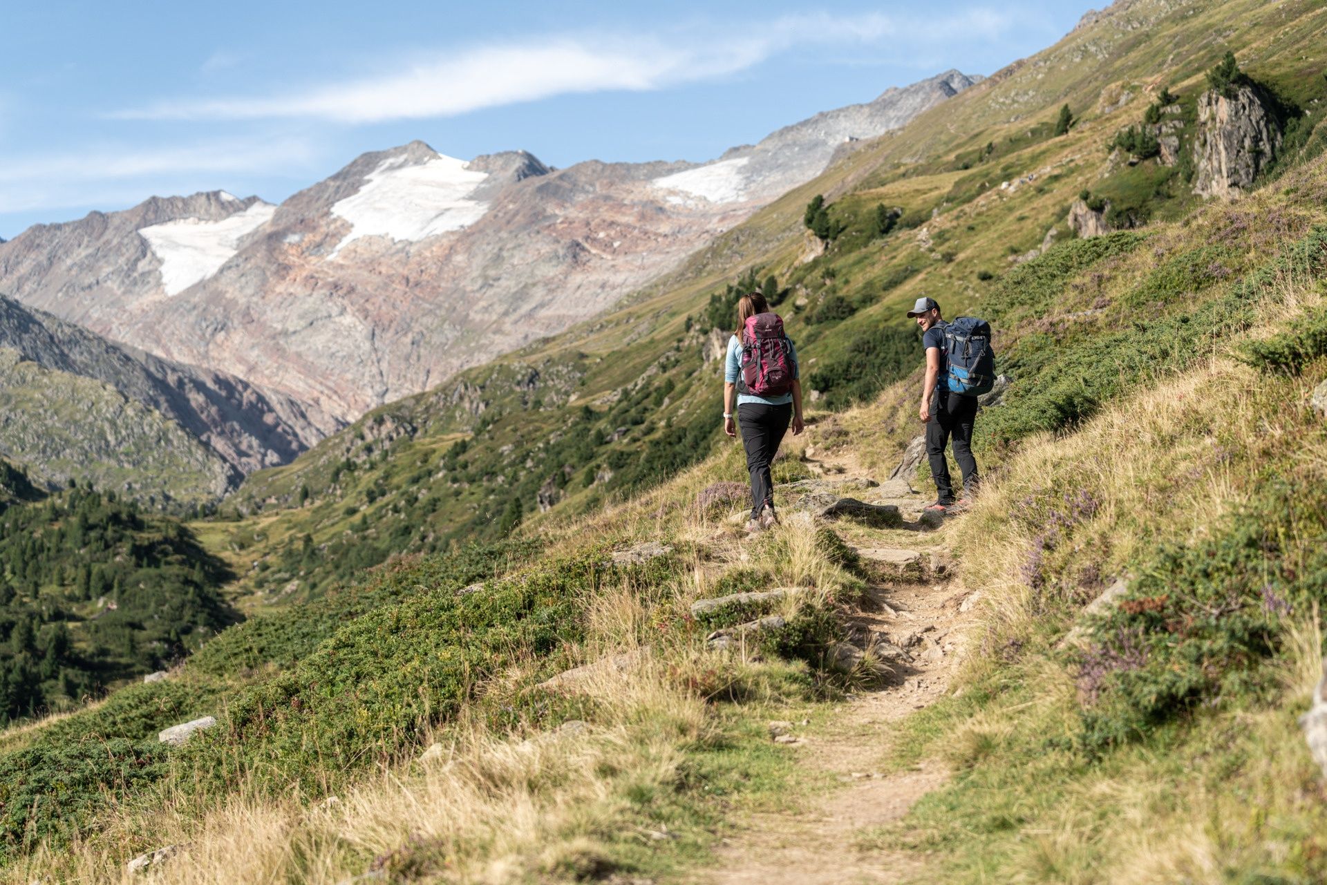
Moderate mountain path; suitable for sure-footed and experienced mountain hikers.
Good physical condition, mountain experience and mountain equipment (see under equipment) necessary. Please observe the current weather forecast at: https://www.oetztal.com/de/sommer.html.
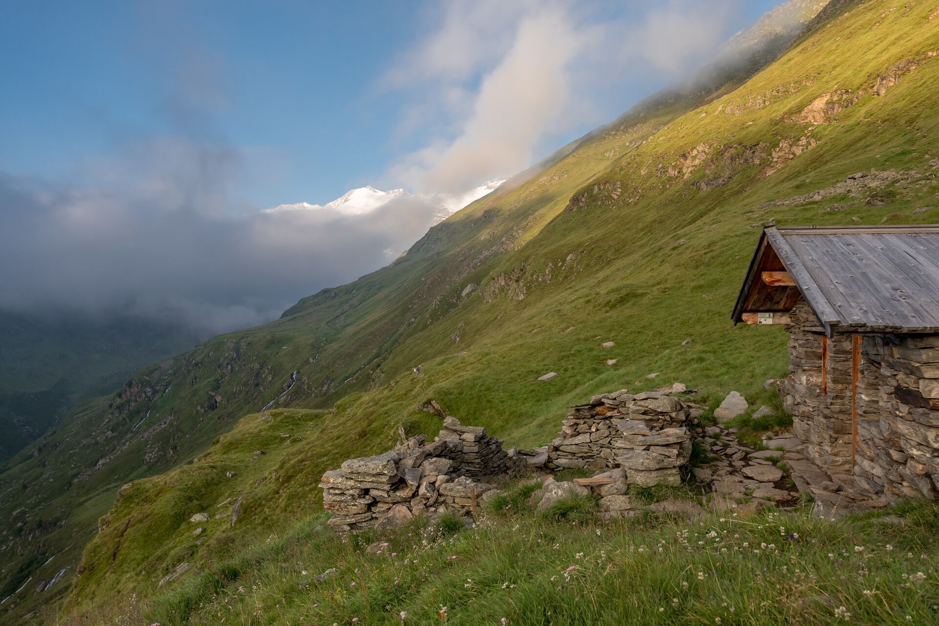
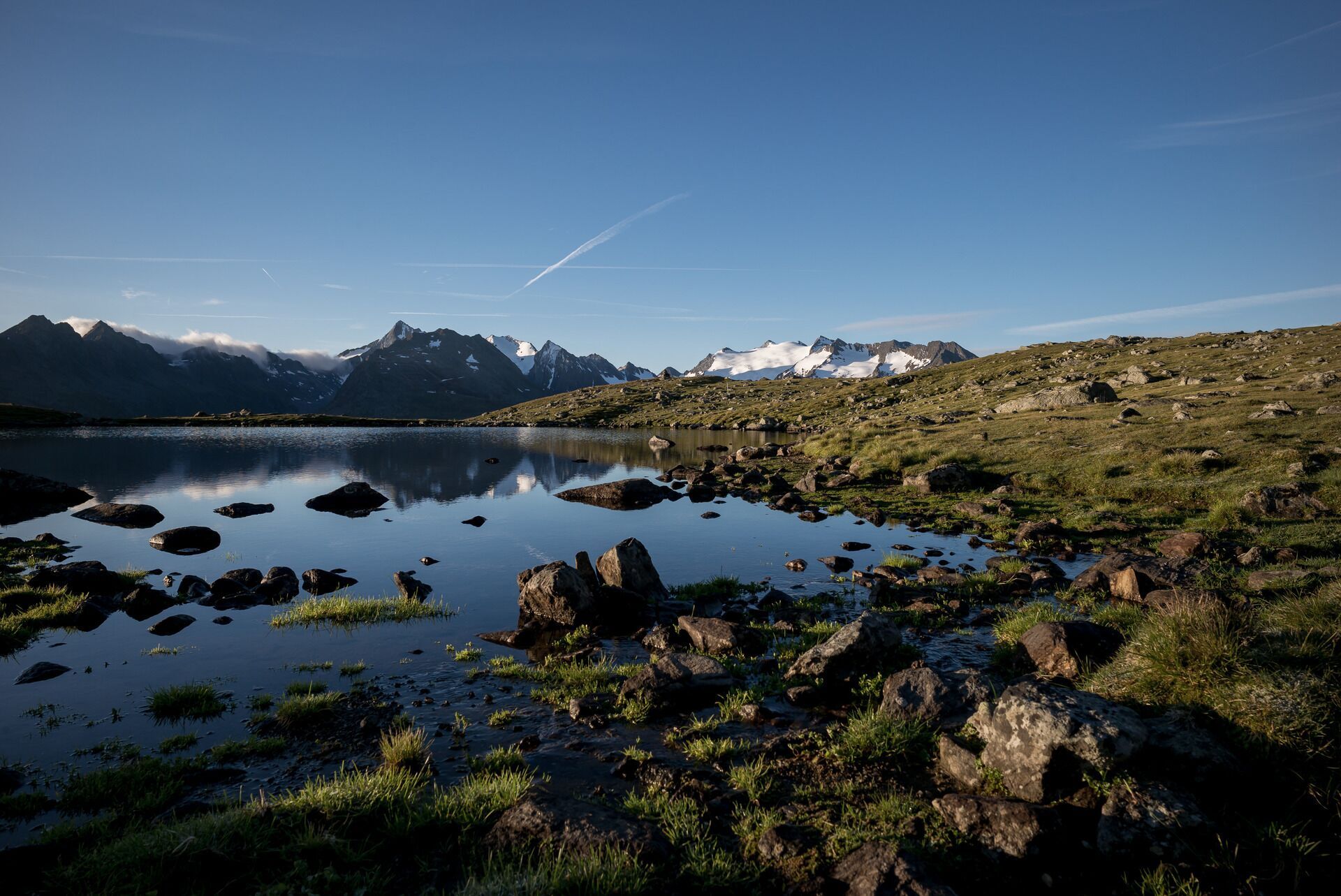
Appropriate equipment such as breathable and weather-adapted outdoor clothing, ankle-high hiking boots, wind, rain and sun protection, a hat, possibly gloves, is required for all hikes and routes. Carrying a first aid kit, a mobile phone and possibly a hiking map, as well as sufficient provisions for hikes without any refreshment options, is necessary.From Obergurgl over the Pirchhütter Ache bridge (sign 6) up the switchbacks to the Soom junction (sign 5). Along the path downstream, past the Haglen enclosure (sign 4). Over the highest point of the circular hike below the Lehnerkar down to the Küppelealm (sign 3). From here it continues to Beilstein (sign 2) and the Zirbenwald bridge to the natural monument Zirbenwald (sign 1). Returning via the Zirbenalm to the centre.
Travel comfortably and safely by train to the Ötztal train station. The final stop or exit point is the ÖTZTAL train station. Afterwards, you can travel conveniently and quickly by public transport or local taxi companies throughout the entire valley to your desired destination.
The current bus schedule is available at: http://fahrplan.vvt.at
Driving to the ÖTZTAL. Located in Tyrol, the ÖTZTAL branches southwards as the longest side valley of the Eastern Alps. Traveling by car leads holidaymakers through the Inn valley to the valley entrance and further along the Ötztal. Besides the toll motorway, country roads can also be used. With the route planner, your journey can be quickly and conveniently determined: Route planner: https://www.google.at/maps.


