

Opening hours:Open today
Place:Sölden
:Restaurant, Alpine pasture / hut / mountain restaurant
Ascent with the Gaislachkogl cable car to the Gaislachkogel mountain station Hike: Gaislachkogel mountain station - Gaislachkogl - Gaislachsee - Gaislach Alm - Sölden
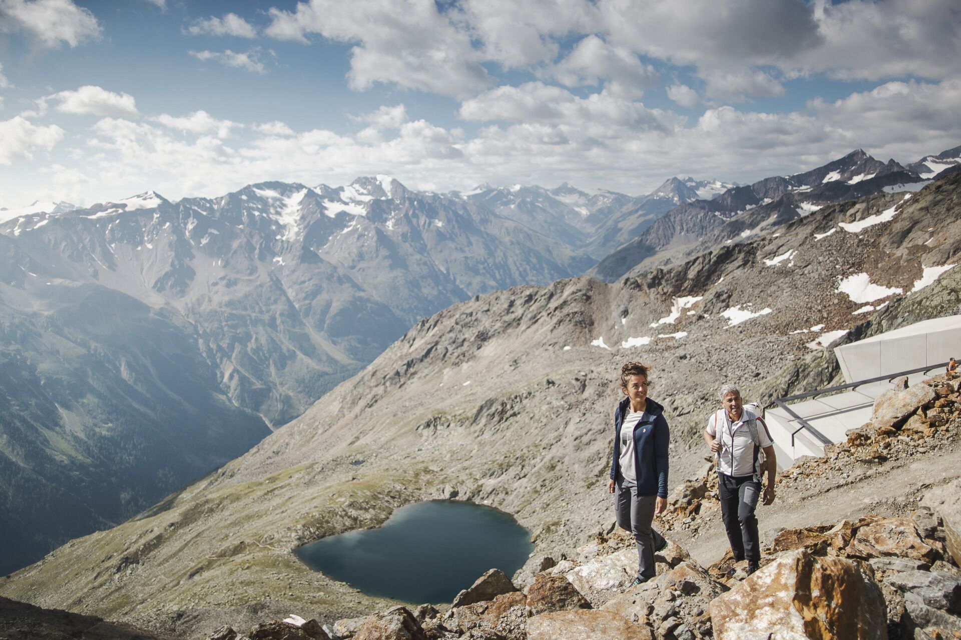
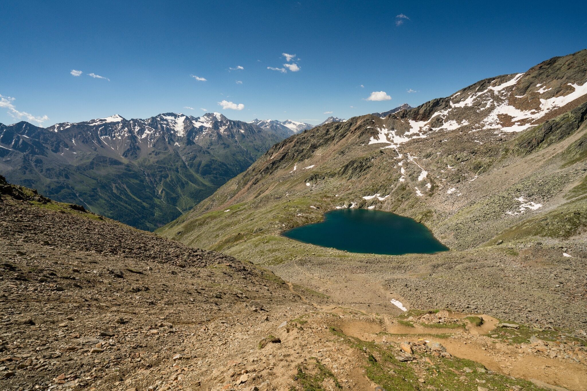
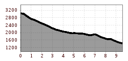
marked path, some surefootedness required
Ascent with the Gaislachkogl cable car to the mountain station (3,040 m) - hike Gaislachsee (2,702 m) - Silbertal (1,982 m) - Gaislach Alm (1,974 m) - Sonneck (1,952 m) - Sölden
Travel comfortably and safely by train to the Ötztal station. The final stop or exit point is ÖTZTAL station. Afterwards, travel conveniently and quickly by public transport or local taxi companies through the entire valley to your desired destination. The current bus schedule is available at: http://fahrplan.vvt.at
The following parking options are available in Sölden:
- Gaislachkogl cable car + underground parking garage
Parking spaces in Sölden are subject to a fee.
For parking over several days (e.g. hut tour):
- Gaislachkogl cable car parking garage, parking ticket either online or directly at the Gaislachkogl cable car ticket office


