
Opening hours:Today closed
Place:Virgen
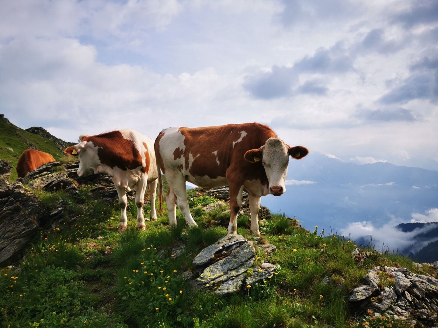
:Alpine pasture / hut / mountain restaurant
1 hut + 1 mountain lake + 2 peaks = 1 pleasure tour

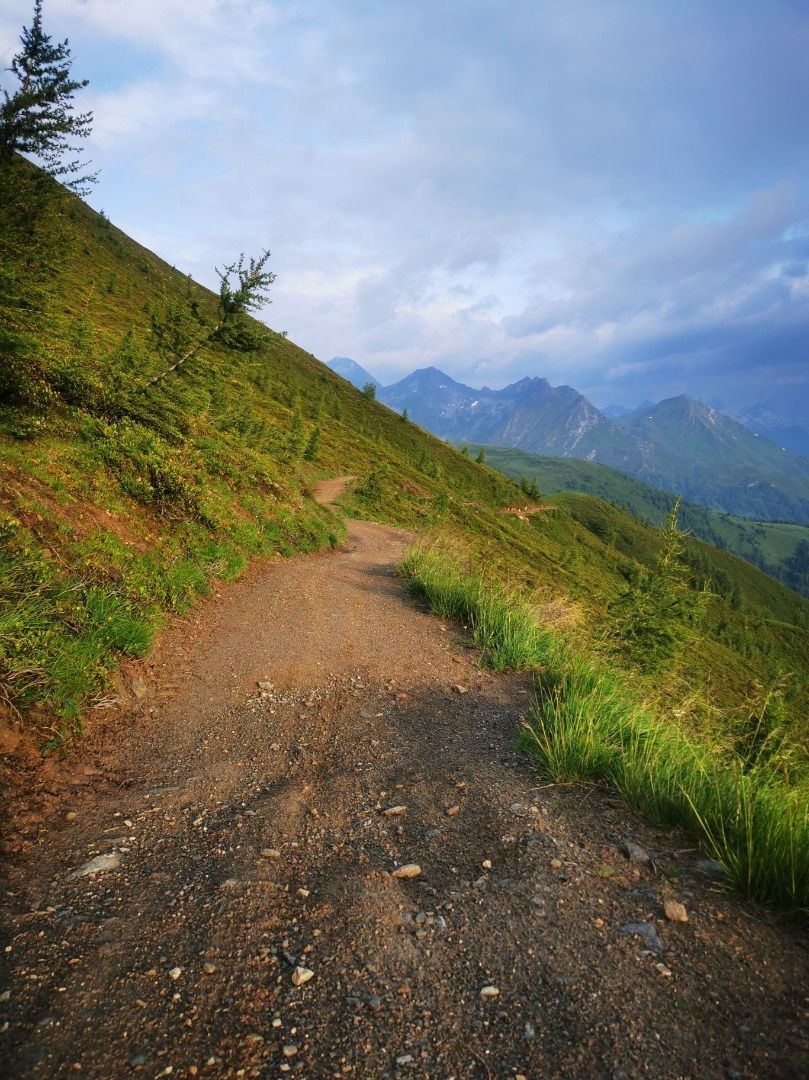
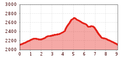
After the ascent by hut taxi to the Wetterkreuz Hütte, continue along the wide road towards Legerle. After about 20 minutes, follow the signs to the Zupalsee Hütte. The extra-wide hiking trail up to the Zupalsee Hütte is even doable with an all-terrain pushchair.
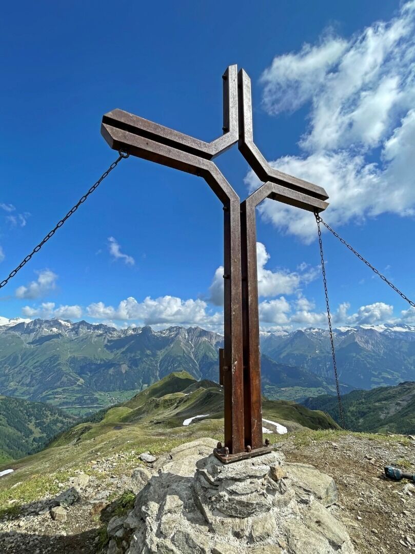
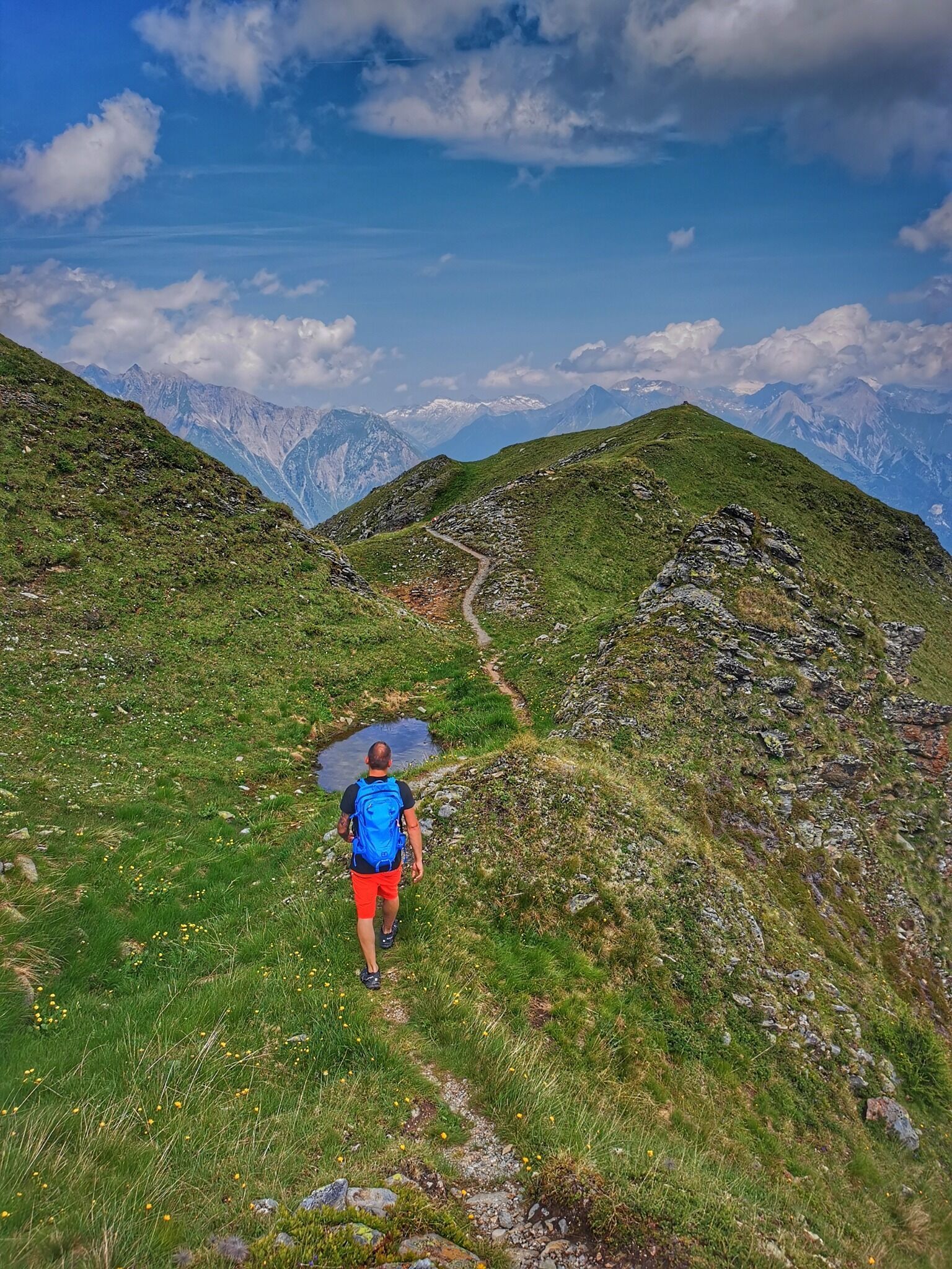
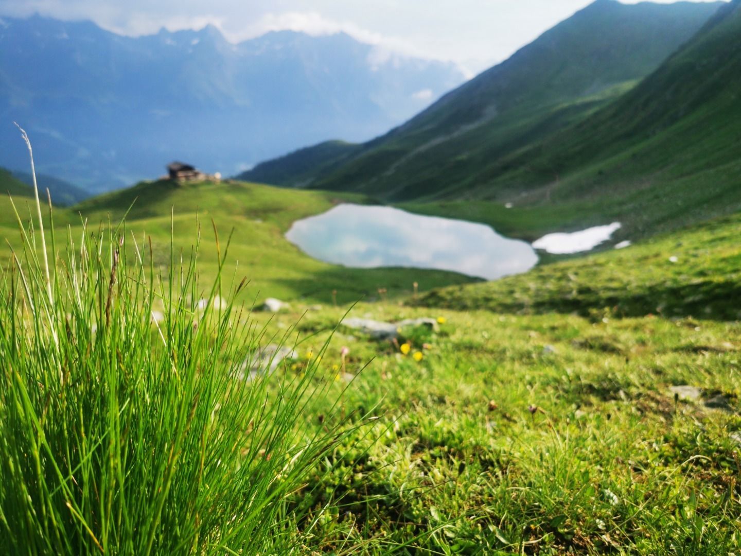
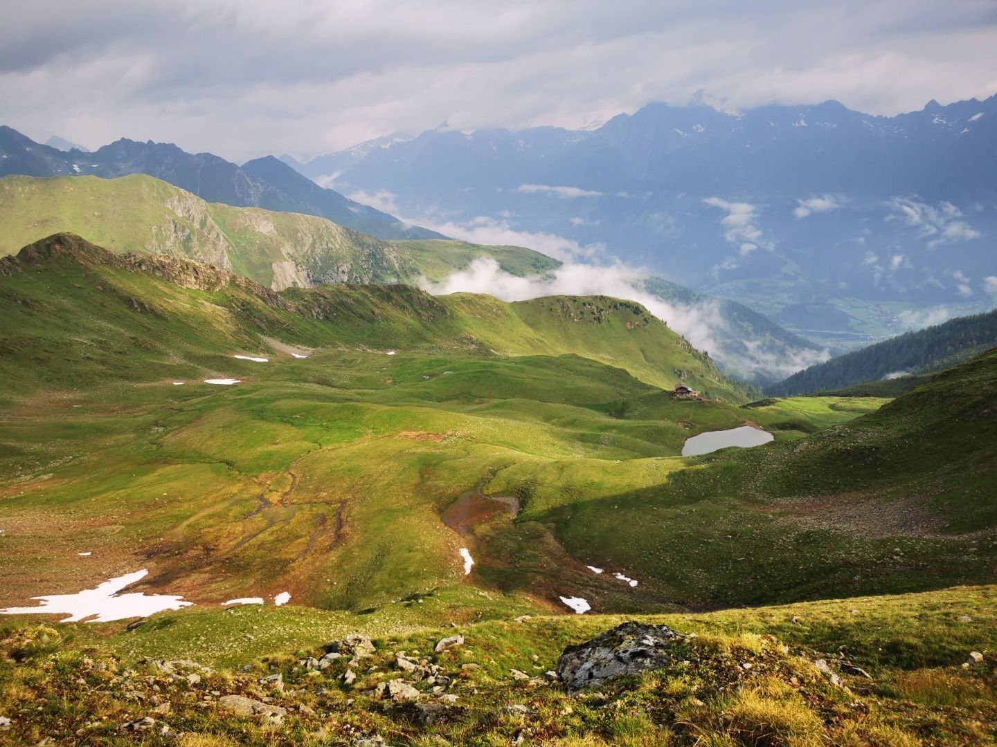
The Zupalsee Hütte with the Zupalsee lake invites you to stop and enjoy. The ascent to the summit begins at Zupalsee and leads along a moderately steep path past a lush green plateau reminiscent of the Scottish Highlands. From the signpost at the Törl it is only a few metres to the Zupalkogel (2,720m). The view over the Virgen, Isel and Defereggen valleys compensates for the short, crisp climb. The transition to the Legerle (2,527m) is direct or just below the ridge. From the Legerle, the route leads back in several serpentines to the crossroads at the Höllerhöhe and then back along the wide road to the starting point.

")


www.bergpixel.de")


