Mountain hikes Hemerkogel - Niederthai

Umhausen / Stubai Alps
Difficulty ratings: difficult
Route length: 13.4 km
Duration: 7:00 h

PARKING LOT NORDIC SPORTS ARENA -> lower and upper Hemerachalm -> Hemerkogel -> Grastalsee -> Grastal -> Sennhof parking lot -> PARKING LOT NORDIC SPORTS ARENA

Tour information

  • Requirement: difficult
  • Length: 13.4 km
  • Duration: 7:00 h
  • Elevation uphill:1,240 hm
  • Elevation downhill:1,231 hm
Highest point2,759 m

Starting point

Nordic Sports Arena Parking Lot

Finishing point

Nordic Sports Arena Parking Lot
  • Fitness level 6 / 6

Best time of year

  • January
  • February
  • March
  • April
  • May
  • June
  • July
  • August
  • September
  • October
  • November
  • December

Equipment

For climbers free from dizziness, sure-footed, and highly experienced in alpine terrain;

Excellent physical condition, extensive mountain experience, alpine climbing equipment, safety and navigation tools, good weather conditions recommended.

Please note the current weather report

Appropriate equipment such as breathable and weather-appropriate outdoor clothing, ankle-high hiking boots, wind, rain, and sun protection, a hat, and possibly gloves are required for all hikes and routes. Carrying a first aid kit, a mobile phone, and possibly a hiking map, as well as sufficient provisions for hikes without food stops, is necessary.

Source: TVB Ötztal Tourismus

Description

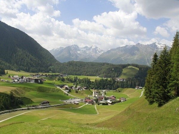
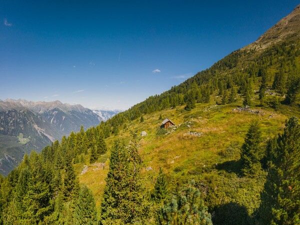
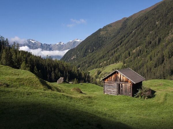
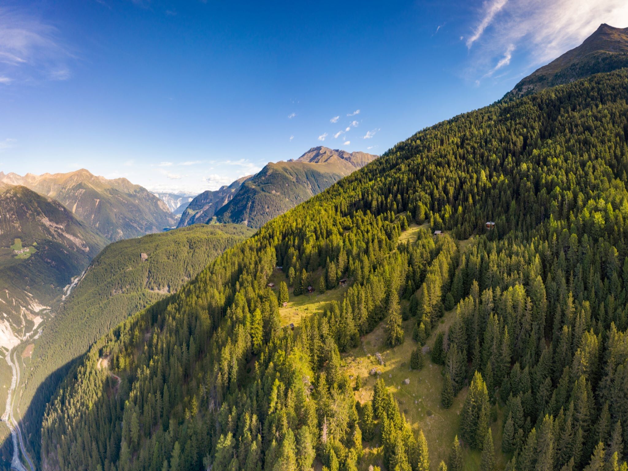
From the Nordic Sports Arena parking lot in Niederthai, walk past the football field along Fortsweg towards Wiesle. Upon reaching the Mauslasattel, follow a path to the right through the Hemerwald to the Lower Hemerachalm. Then continue uphill to the Upper Hemerachalm. You will then leave the tree line and enter rockier terrain. The last ascent to the ridge is quite steep – once at the top, the final climb leads to the summit cross. There you can enjoy the breathtaking view. To avoid walking the same way back, follow the path down over large boulders to the Grastalsee. There you can recharge and start the last descent through the Grastal back to Niederthai and the starting point of the hiking route.


Getting here

  • Arrival by public transport

    Travel comfortably and safely by train to the Ötztal train station. The terminus or exit point is ÖTZTAL station. Then you can travel conveniently and quickly by public transit or local taxi companies throughout the valley to your desired destination.

    The current bus timetable is available at: http://fahrplan.vvt.at  

  • Parking

    The car drive to the ÖTZTAL. Located in Tyrol, the Ötztal branches off southwards as the longest side valley of the Eastern Alps. Arrival by car takes travelers through the Inn Valley to the valley entrance and then along the Ötztal. In addition to the toll motorway, country roads can also be used. You can quickly and conveniently determine your route with the route planner: route planner: http://www.google.at/maps 


    Nordic Sports Arena Parking Lot

    The parking lot is chargeable from 07:00 to 22:00 and is managed both in summer and winter.

    • Rates: 2 hours € 3.00, 3 hours € 4.00, 4 hours and more € 5.00
    • Possibility to pay cashless online via the PARKSTER APP
    • Guests with disabilities park free - please leave the disability card visible.

Weather

Today

light rain showers
9°C/2°C
70%5.5l5 km/h

Thu

light rain showers
6°C/1°C
75%4.8l5 km/h

Fri

snow showers
6°C/1°C
80%7.9l5 km/h
Go to weather forecast

More tours in the surrounding area

Newsletter

The mountain is calling? So does our newsletter!

In our monthly newsletter we reveal the best holiday tips for Tyrol.
