
Opening hours:Open today
Place:Prägraten am Grossvenediger
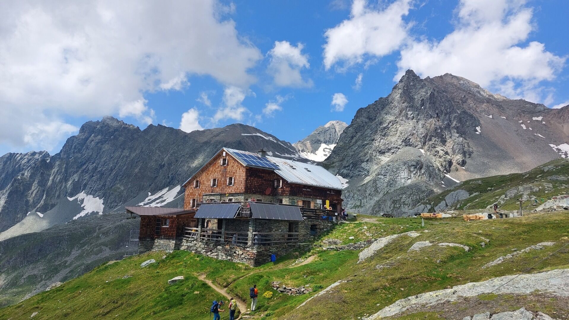
:Alpine pasture / hut / mountain restaurant
Hiking tour to Bonn-Matreier-Hütte 2.750m
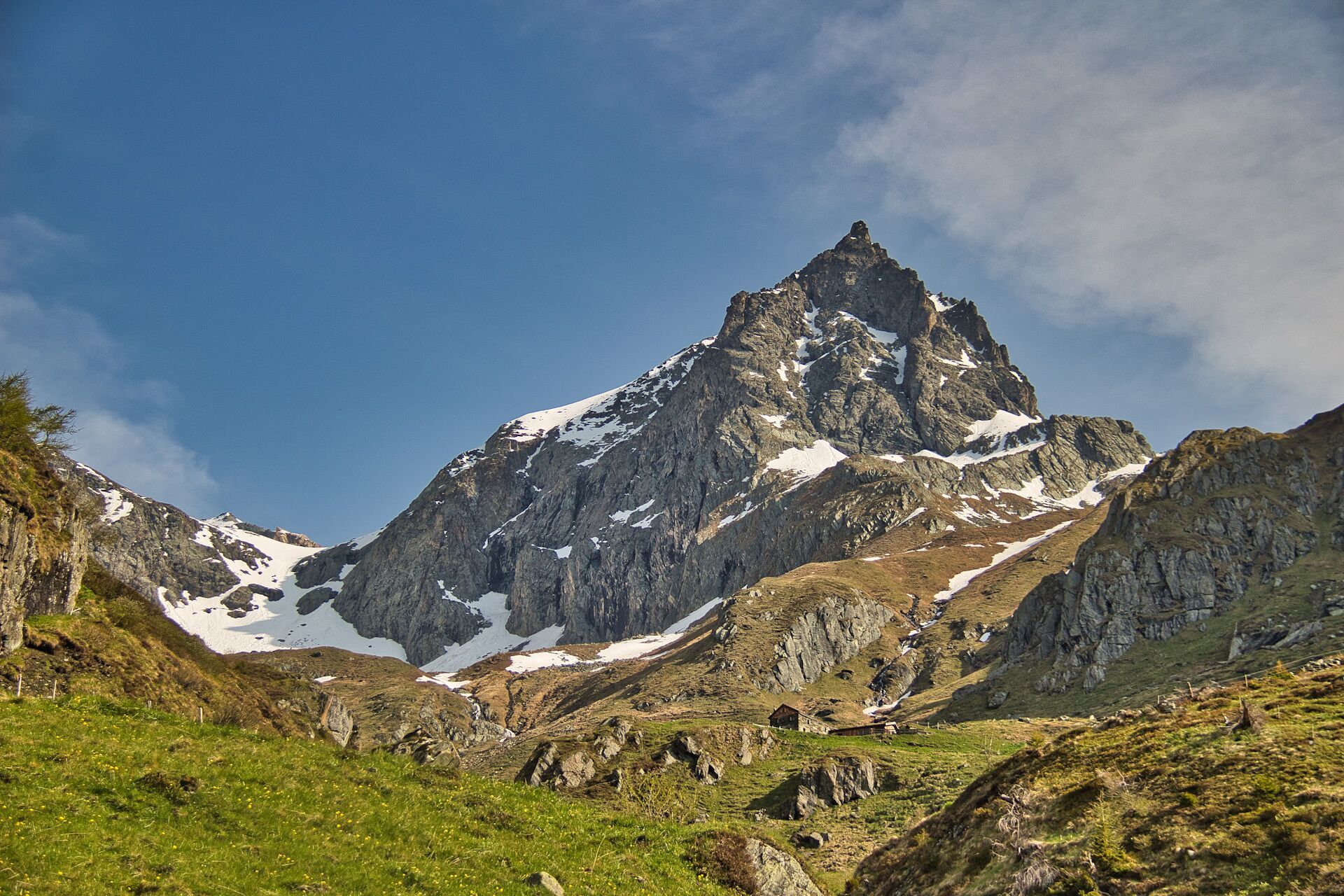
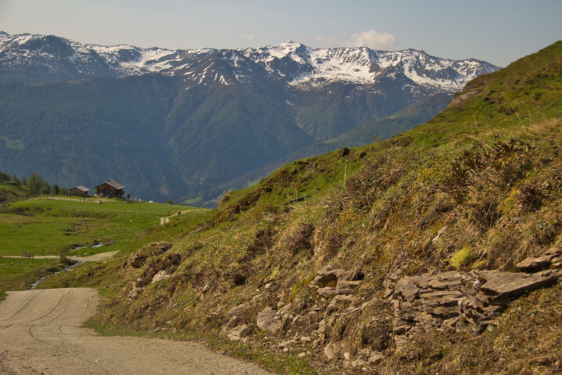
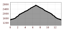
Starting from the parking place Budam, take the road past the farmhouses "Budamer Höfe". Then you reach a narrow footpath that leads across alpine meadows up to the hut Nilljochhütte (1.990 m). From there another driveway leads past the Schmiedleralm to the Stuhleralm (2.300 m). From here, you will find yourself on very narrow hiking paths in partly stony terrain until reaching your hiking destination at 2.750 m above sea level.
One highlight of this hiking tour is the highest chapel in the Eastern Alps, 2 minutes' walk from the hut.
Virgen Abzw. Obermauern
Car park Budam


")


www.bergpixel.de")


