
Opening hours:Open today
Place:Prägraten am Grossvenediger
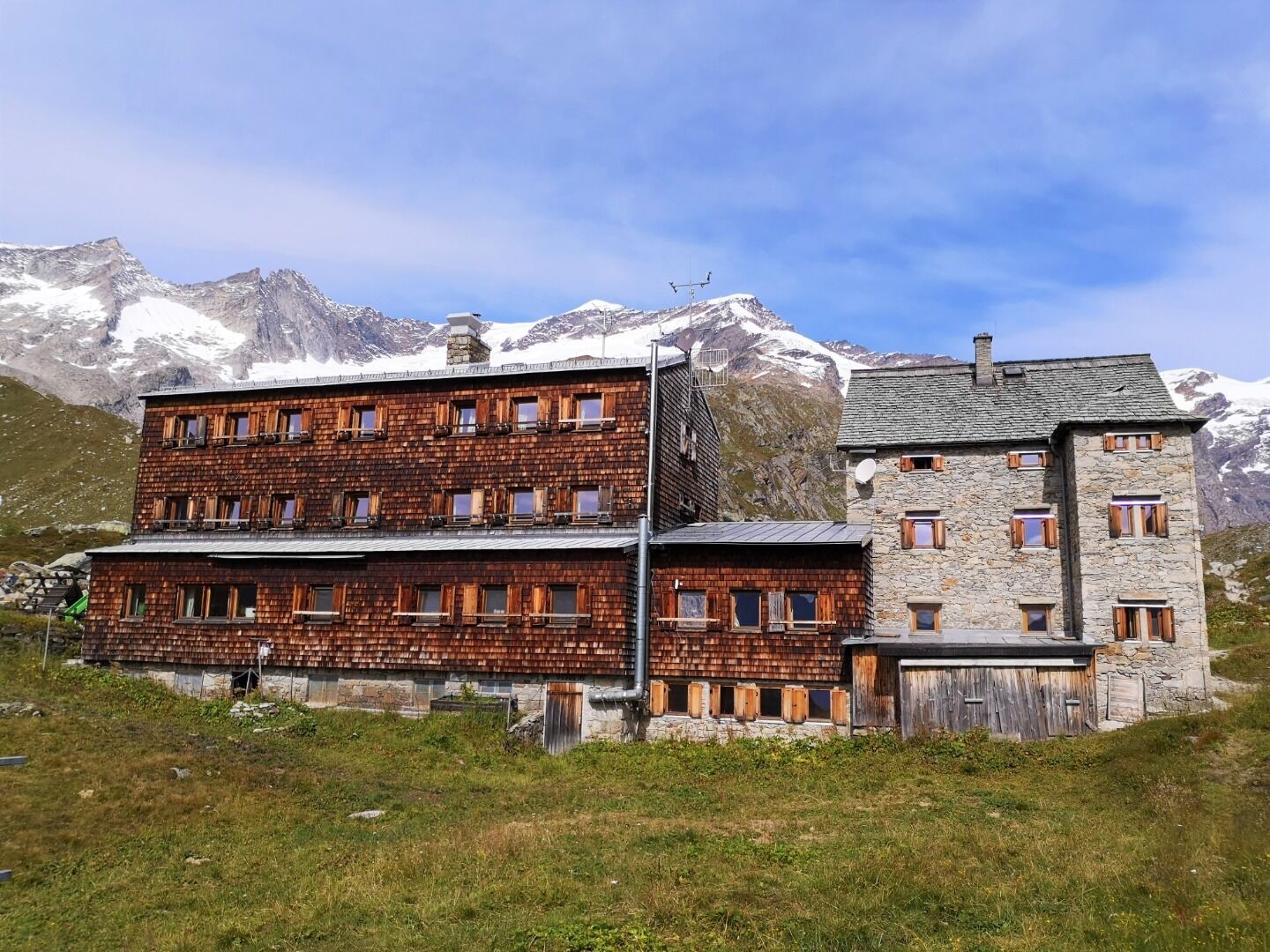
:Alpine pasture / hut / mountain restaurant
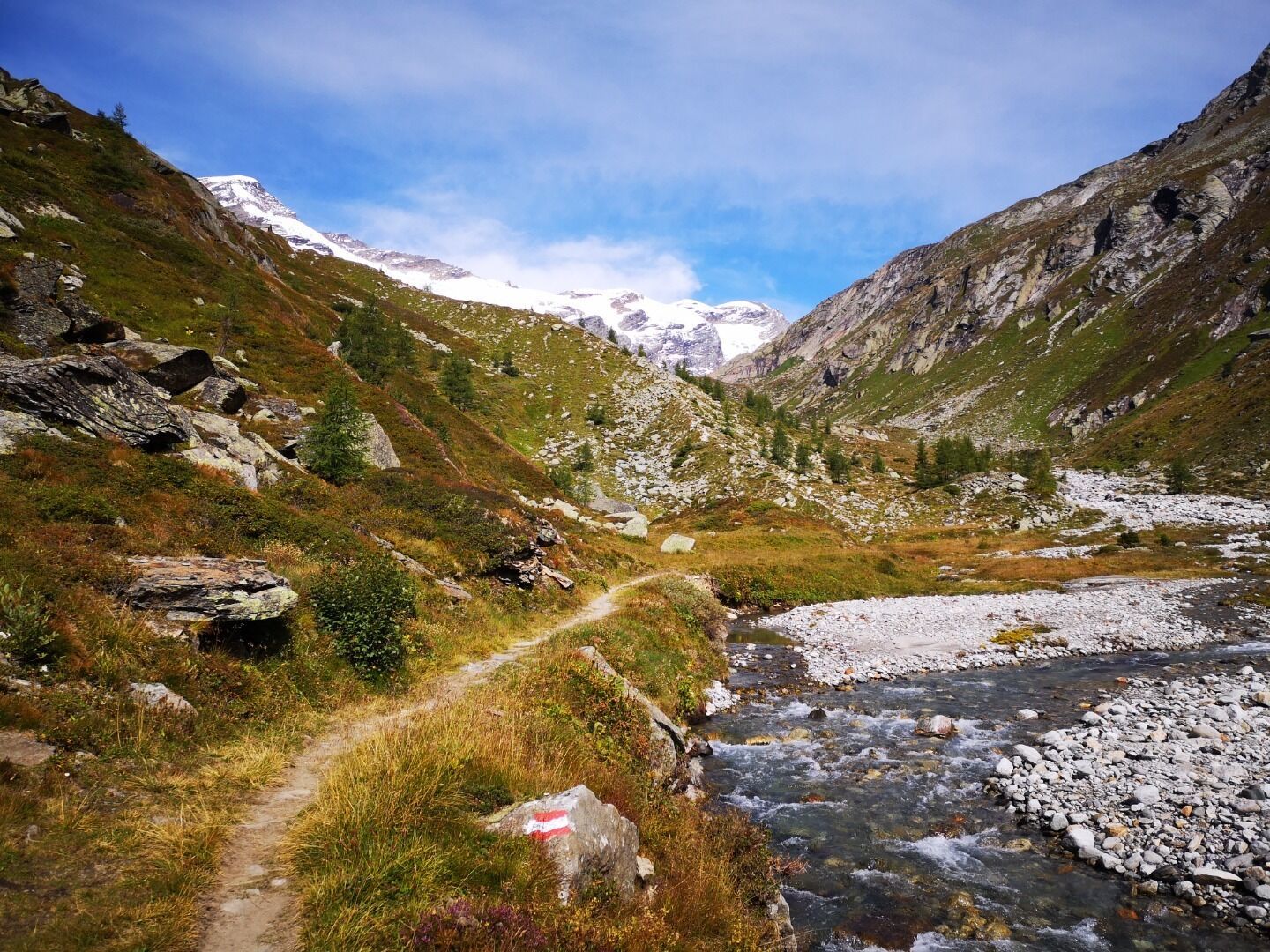
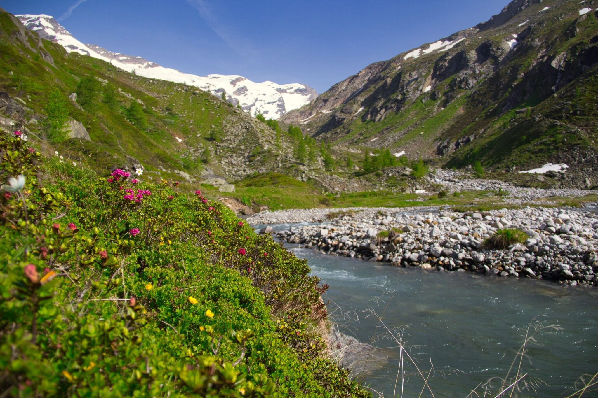
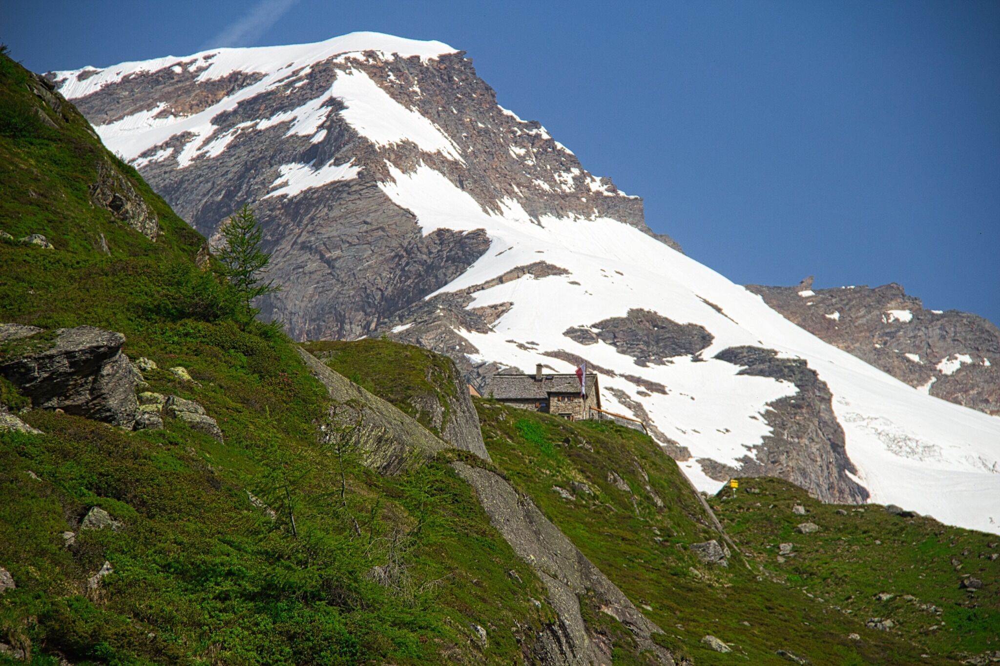
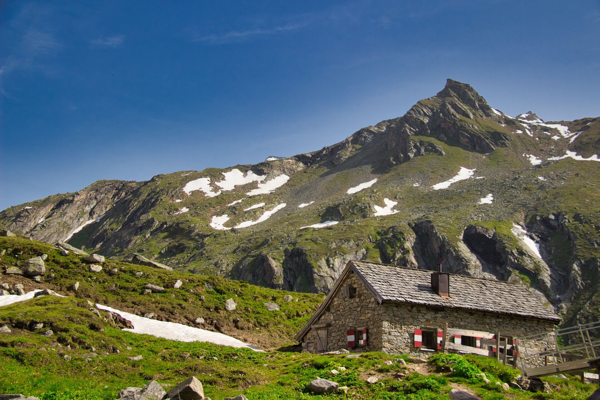
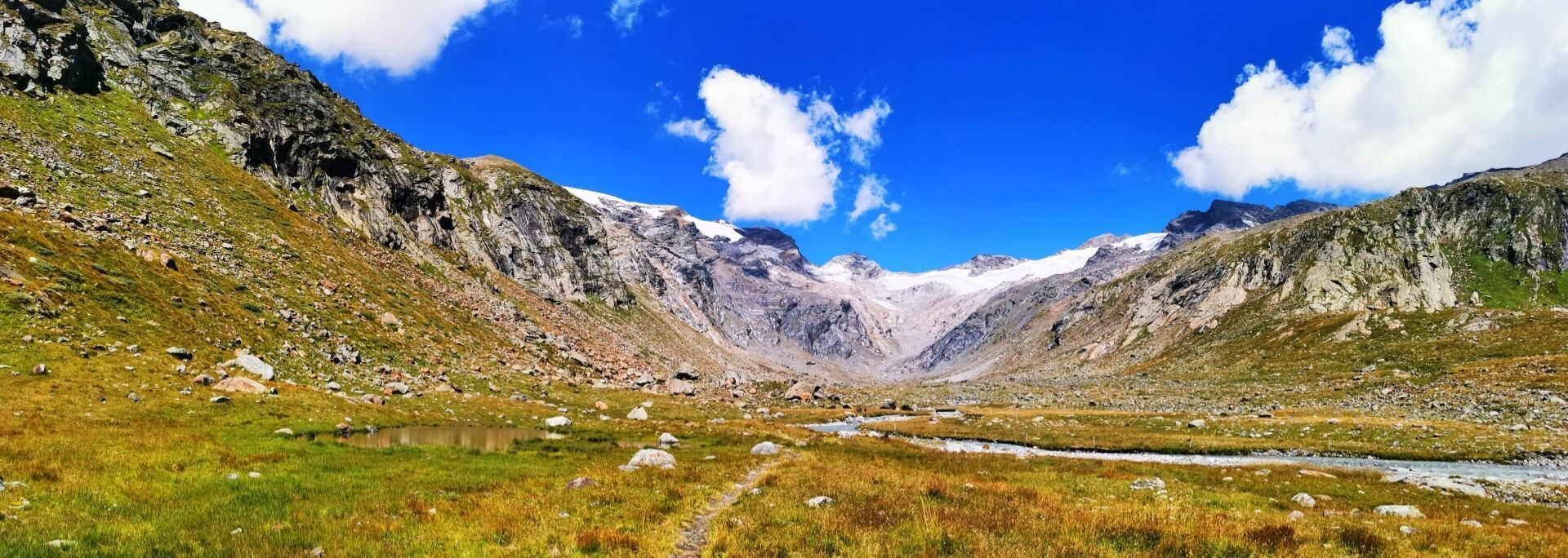
Towards the ice giants
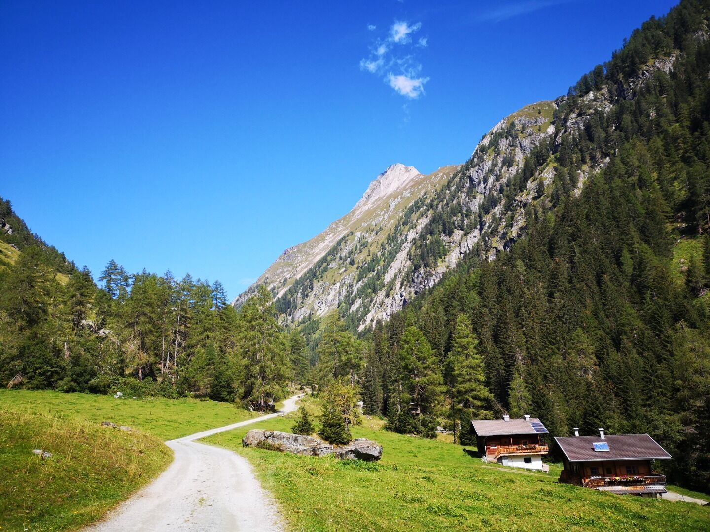
Forest track, footpath
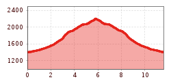
The hiking trail leads from Ströden carpark right into Maurertal Valley, passing by Stoanalm until you reach the lower terminal of the goods cable lift. From here on, walk on into the valley through steep woodland area, which later gets flatter again, until you reach a water catchment that you cross using the bridge. The last section of the hike is moderately steep and leads across a glacial moraine to the mountain lodge.
Prägraten a.G. Ströden
Car park Ströden


")


www.bergpixel.de")


