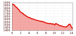
Long-distance hike Lechweg River Trail Stage 1 | Formarinsee - Lech

Difficulty ratings: medium
Route length: 14.4 km
Duration: 5:00 h

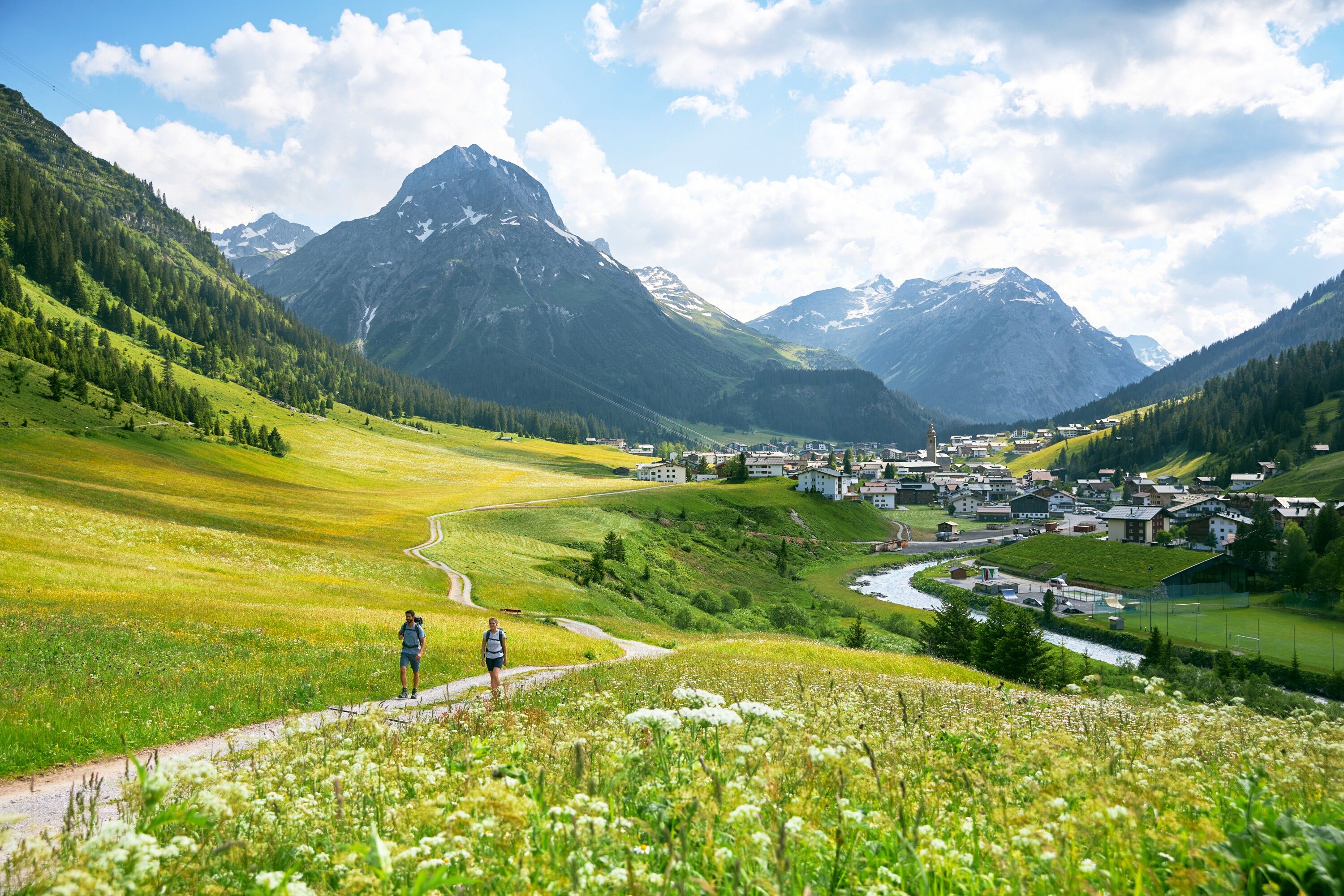
Along easy mountain trails, the Lechweg winds its way through the Lech source region, where the Formarinbach and Spullerbach streams merge to form the young Lech.

Tour information

  • Requirement: medium
  • Length: 14.4 km
  • Duration: 5:00 h
  • Elevation uphill:152 hm
  • Elevation downhill:559 hm
Highest point1,871 m

Starting point

Bus Stop Lake Formarinsee

Finishing point

Lech - Bus Stop Rüfiplatz
  • Fitness level 3 / 6
  • Technique 3 / 6

Features

  • Multi-day hike

Best time of year

  • January
  • February
  • March
  • April
  • May
  • June
  • July
  • August
  • September
  • October
  • November
  • December

Trail condition

Asphalt, Forest road, Gravel road, Hiking trail, Hiking path, Mountain trail

Equipment

Hiking boots, hiking backpack, hiking poles, functional clothing, waterproof clothing, sun protection (sun cream, sunglasses and a hat), first aid kit, hiking map (printed or digital), mobile phone, plenty of water and food.
Equipment should always be adapted to the season, weather conditions and personal experience.

Additional equipment for multi-day hikes: Spare clothing, a sleeping bag liner and slippers (if required), microfibre towel, personal toiletries, head lamp, power bank and cash.
Source: TVB Naturparkregion Reutte

Description

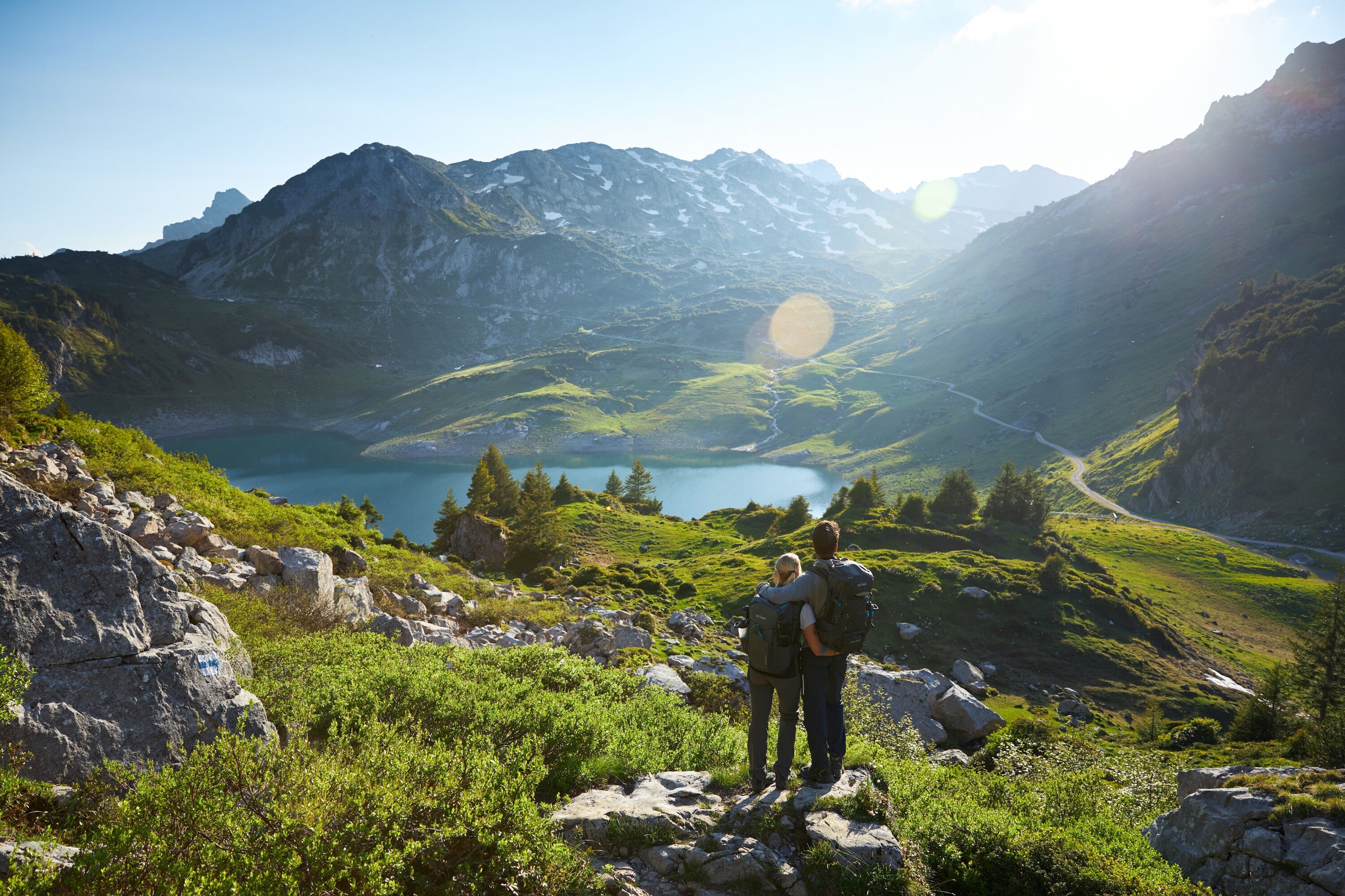
The hiking bus runs from the post office in Lech to the Formarinsee bus stop, the final stop. This is where the Lechweg River Trail begins, at an altitude of 1.793 metres. A first detour along the access road to Lake Formarinsee is already well worth it, offering a beautiful panorama overlooking the lake. After turning back, follow the route to the bus stop and then continue for a short stretch along the road to Alpe Formarin. Here, a meadow path branches off to the right and leads past the ibex monument, commemorating the reintroduction of ibex from 1958 onwards. The area is home to one of Europe’s largest ibex colonies.

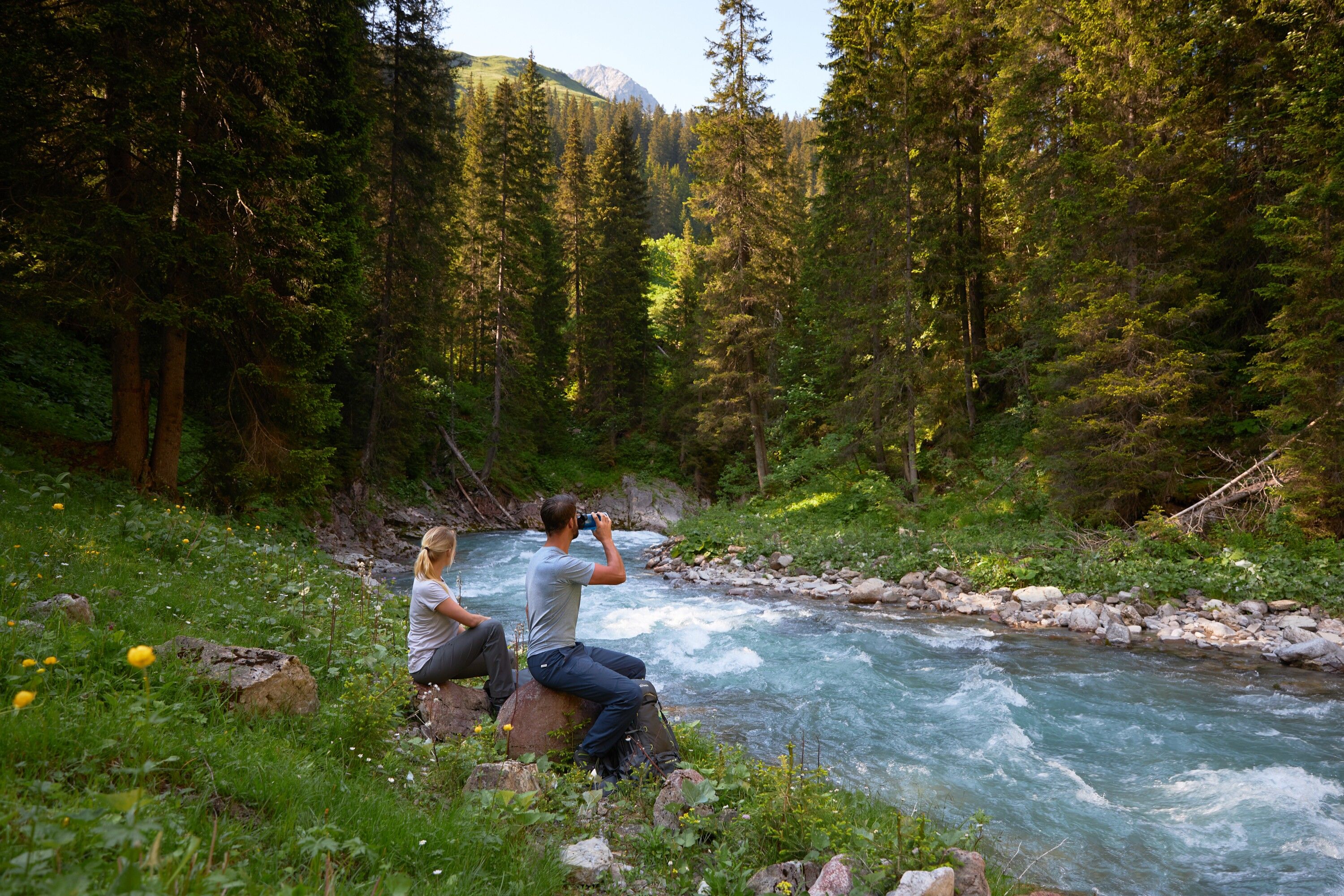
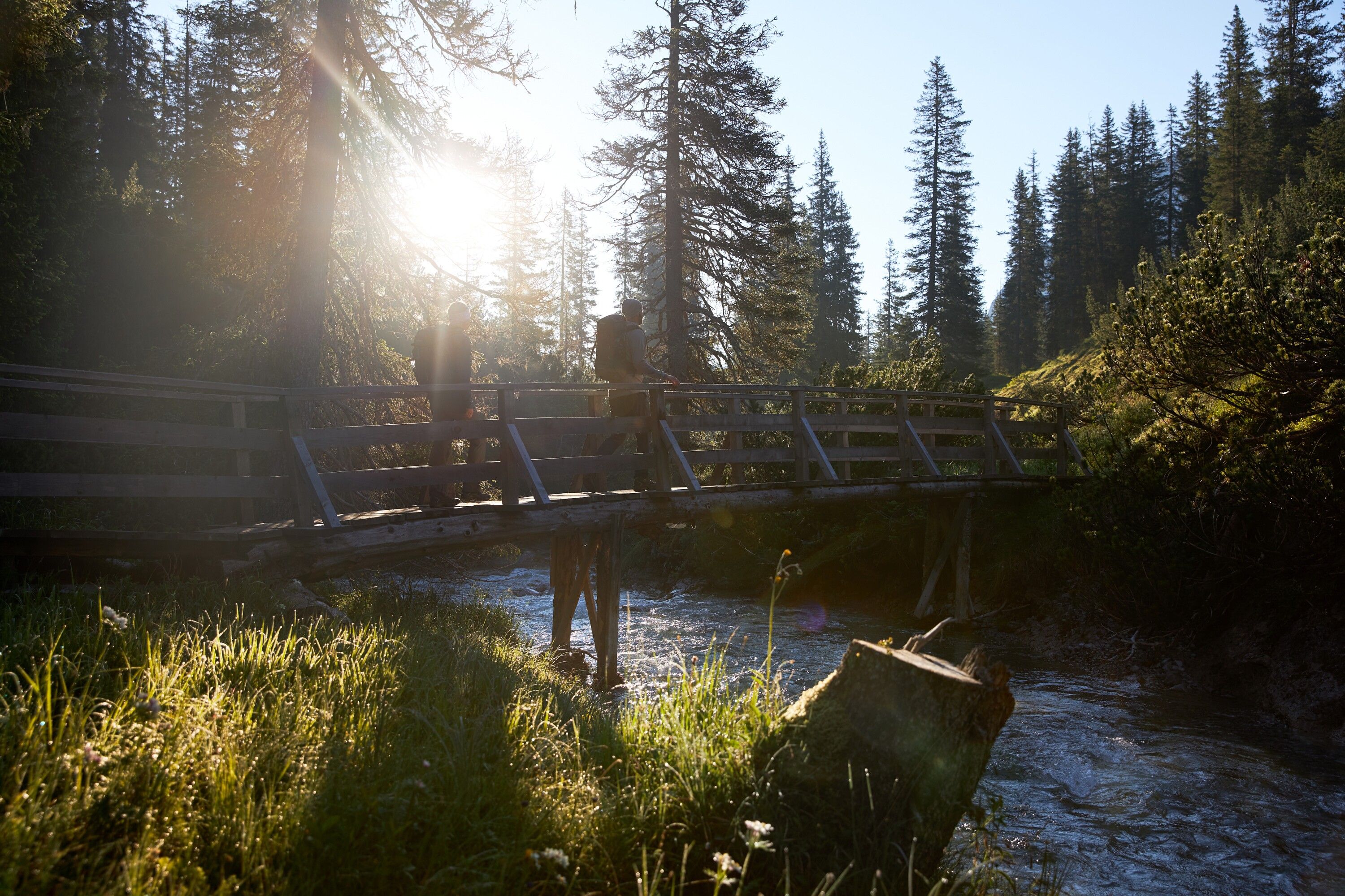
This is the Lech source region. In spring, after the snow has melted, several springs can be seen right beside the trail. After about an hour of walking through meadows and past weathered limestone boulders, the Formarinbach stream accompanies the route. Before long, it joins the Spullerbach to form the young Lech. Continuing down the valley along wooden walkways and bridges, the Lechweg River Trail passes the Älpele inn before reaching the village of Zug. At the fish pond, freshly caught fish is grilled on site. From here, follow the path along the banks of the Lech and reach Lech am Arlberg via the Tannberg area.

Getting here

  • Arrival by public transport

    The Lechweg River Trail is well connected to the local public transport network.
    Hiking bus from mid/late June to early October, the hiking bus runs along the entire Lechweg River Trail: Bus connections

  • Parking

    Information about parking facilities can be found here: Arrival/Parking

More tours in the surrounding area

Newsletter

The mountain is calling? So does our newsletter!

In our monthly newsletter we reveal the best holiday tips for Tyrol.