

Opening hours:Today closed
Place:Vent
:Alpine pasture / hut / mountain restaurant
MARTIN BUSCH HUT -> Saykogel -> HOCHJOCH HOSPIZ
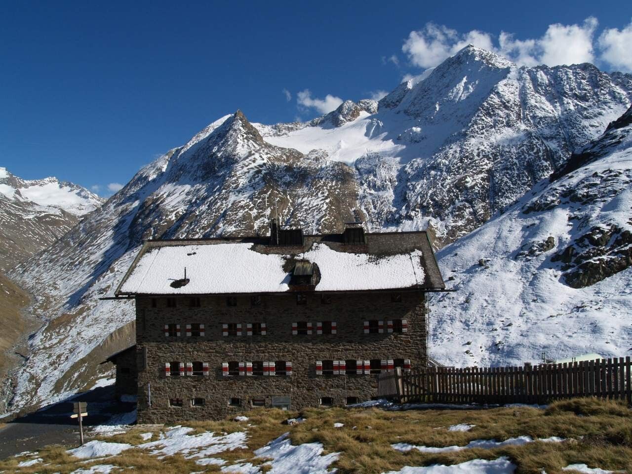
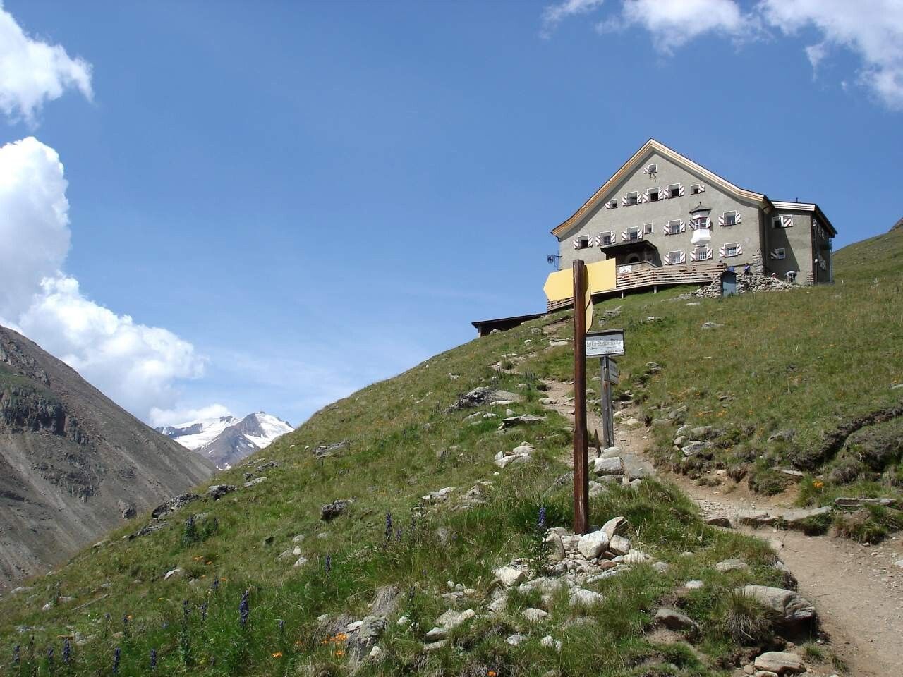
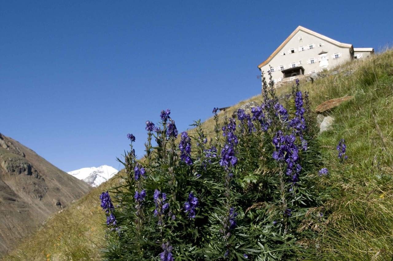
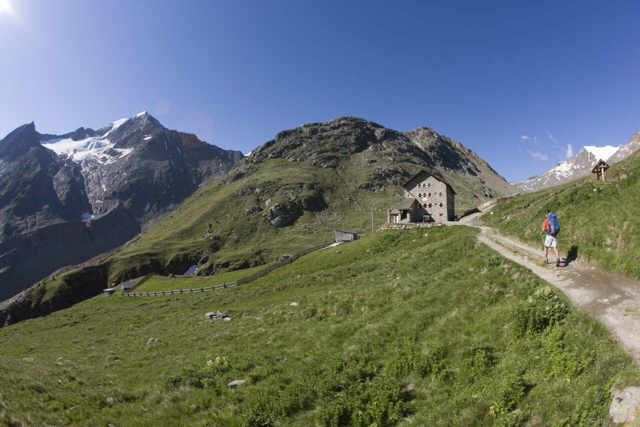
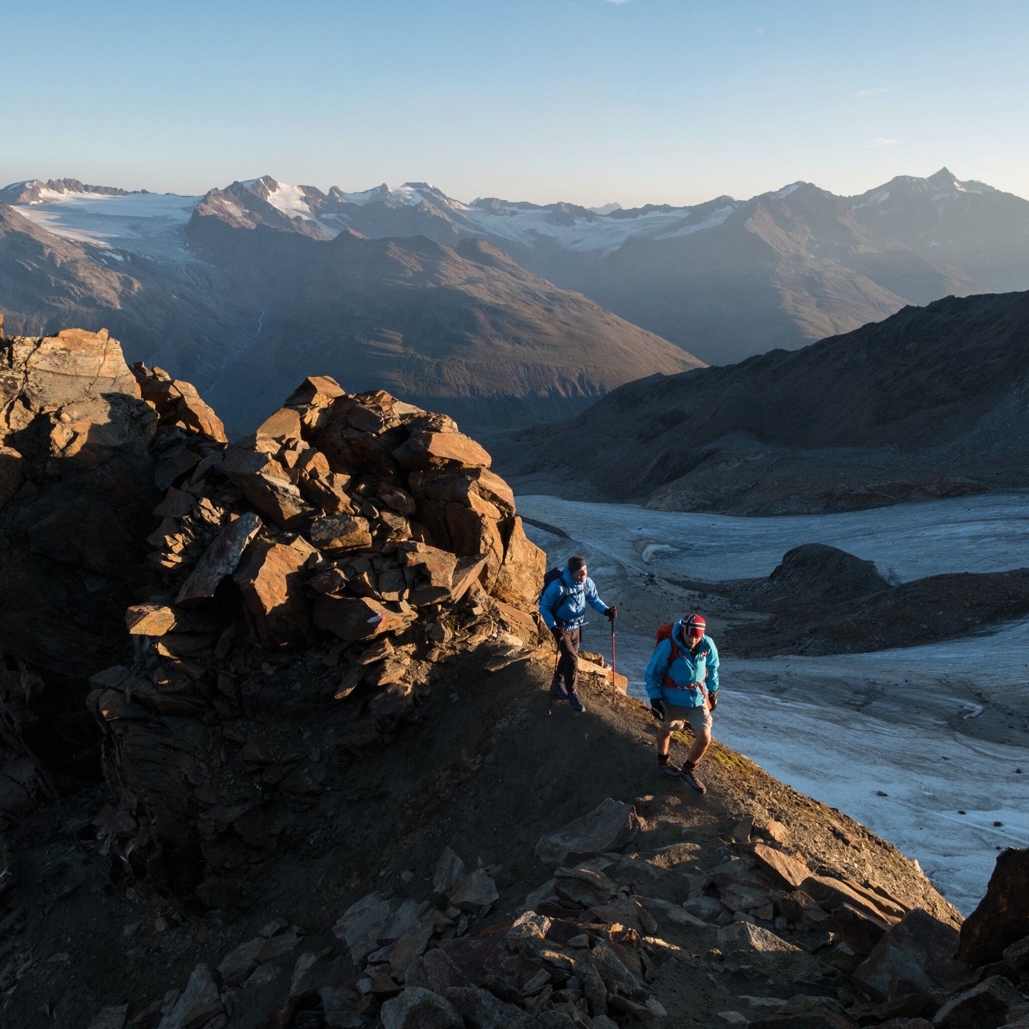
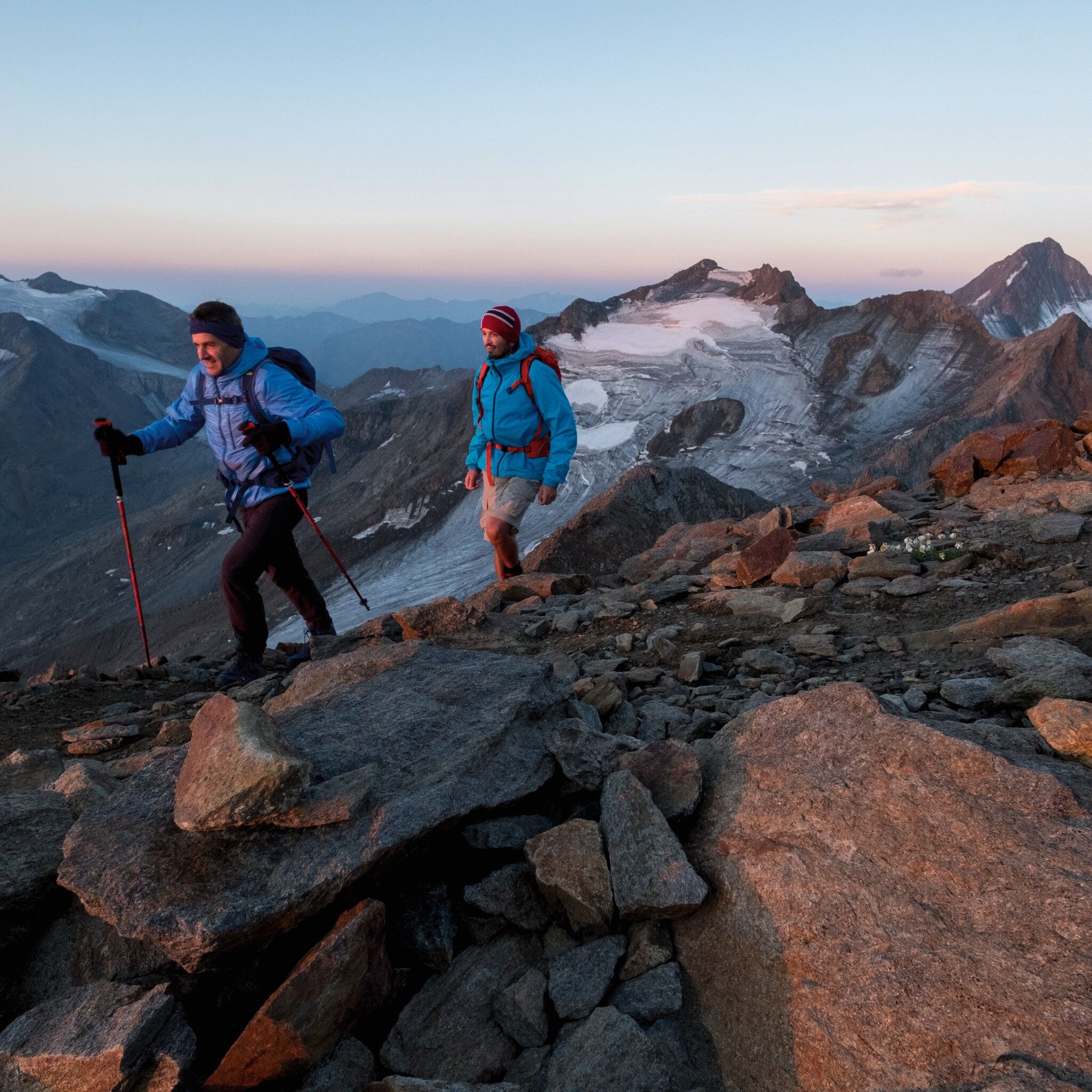
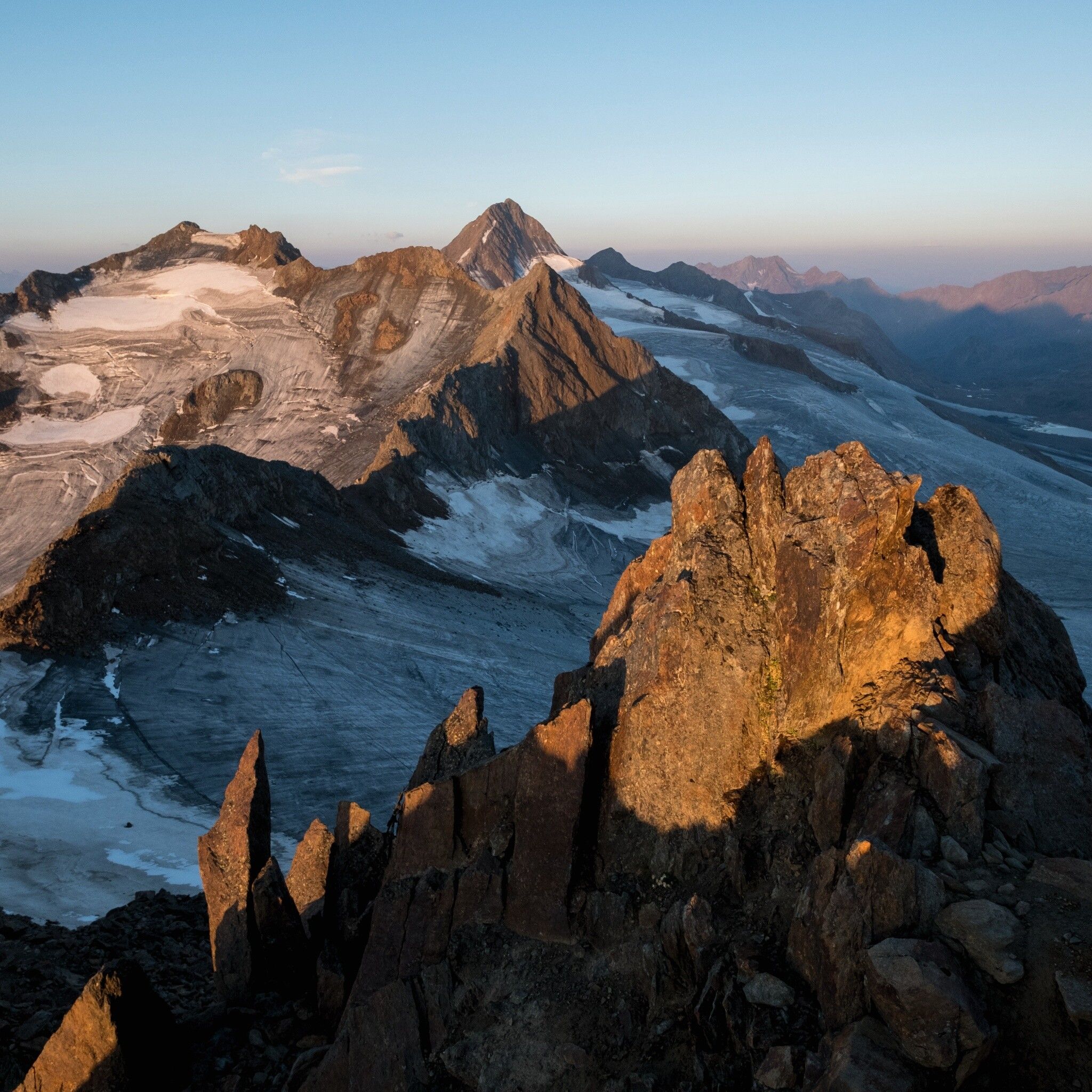
Appropriate equipment such as breathable and weather-appropriate outdoor clothing, ankle-high hiking boots, wind, rain and sun protection, hat, possibly gloves, is required for all hikes and routes. Carrying a first aid kit, a mobile phone and possibly a hiking map, as well as sufficient provisions on hikes without dining options, is necessary.
From the Martin-Busch Hut first towards the Similaun Hut. After 5 minutes, turn right and continue on a moderately steep, then steep path to the summit. Wonderful panoramic view of the Venter Mountains. Partly steep descent to the Hochjoch Hospiz.
Travel comfortably and safely by train to the Ötztal train station. The final stop or exit point is ÖTZTAL station. Afterwards, travel conveniently and quickly by public transit or local taxi services through the entire valley to your desired destination! The current bus schedule is available at: http://fahrplan.vvt.at
Car travel to the ÖTZTAL. Located in Tyrol, the Ötztal branches off southward as the longest side valley of the Eastern Alps. Travel by car leads vacationers via the Inn Valley to the valley entrance and further along the Ötztal. Besides the toll highway, local roads can also be used. With the route planner, your trip can be quickly and comfortably planned: To the route planner: www.google.at/maps
Paid parking in the mountaineering village of Vent:
At the entrance to the village (summer only)
At the valley station of the Wildspitze double chairlift (DSB Wildspitze)
At the Mountaineers’ Chapel
Further information can be found here:


