

Place:Obergurgl
:Alpine pasture / hut / mountain restaurant
OBERGURGL -> Ramoljoch -> VENT




Suitable equipment such as breathable and weather-appropriate outdoor clothing, ankle-high hiking boots, wind, rain and sun protection, hat, possibly gloves, is required for all hikes and routes. Carrying a first aid kit, a mobile phone and possibly a hiking map, as well as sufficient provisions on hikes without dining options, is necessary.
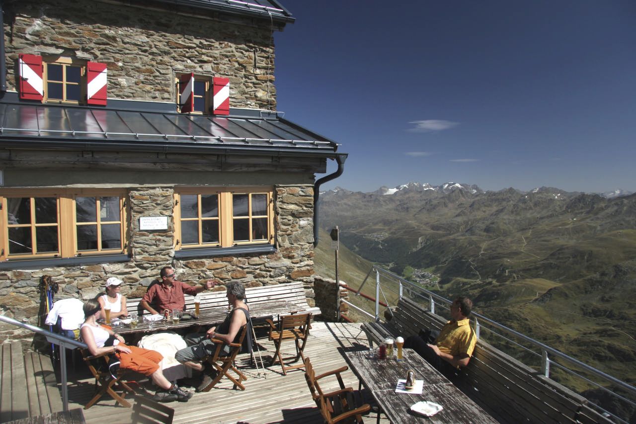
From Obergurgl over the Achbrücke initially slightly steep to the "Beilstein", then over the Hochmähder to the Küppele-Shepherd's hut, continuing steeply up to the Ramolhaus and over the Ramolferner and very rocky terrain in about 30 minutes to the Ramoljoch access point. There it is secured with ropes, partly over ladders, to the Ramoljoch.
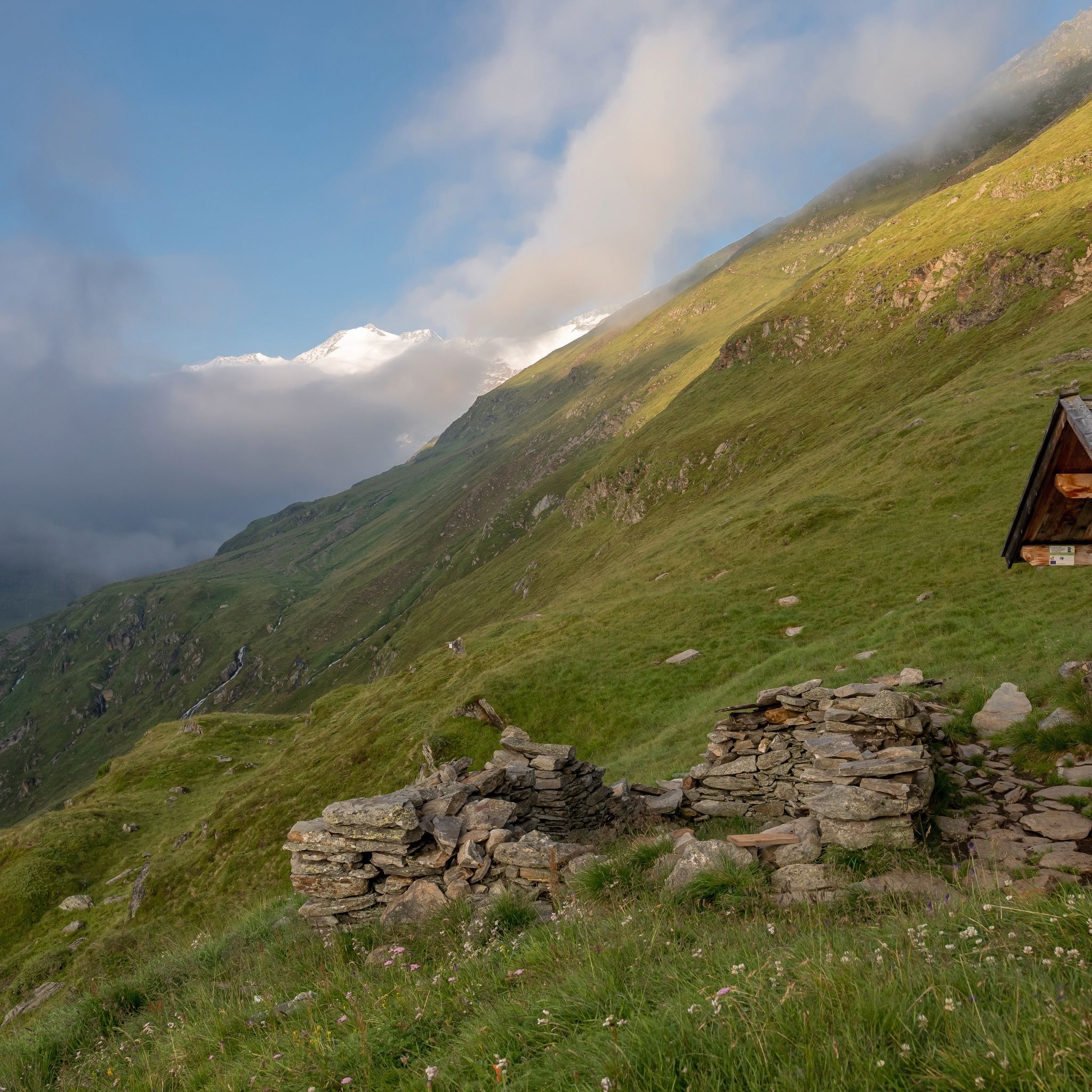
The descent leads over very rocky, steep terrain, then over an easier path to the Ramolalm (not managed!). From there descent to Vent. Only in good weather and with suitable alpine equipment.
Surefootedness and sure-handedness required!
Walking times:Obergurgl - Ramolhaus: 3 - 4 hRamolhaus - Ramoljoch: approx. 1 hRamoljoch - Vent: 3.5 - 4 h
Travel comfortably and safely by train to the Ötztal train station. The final stop or exit point is the ÖTZTAL station. From there you can conveniently and quickly travel by public transport or local taxi companies through the entire valley to your desired destination. The current bus schedule can be found at: fahrplan.vvt.at
The car journey to the ÖTZTAL. Located in Tyrol, the ÖTZTAL branches off southwards as the longest side valley of the Eastern Alps. Arrival by car takes vacationers over the Inn Valley to the valley entrance and continues along the Ötztal. Besides the toll motorway, country roads may also be used. The route planner lets you determine your trip quickly and conveniently: To the route planner: www.google.at/maps
- In summer in front of the village (parking meter, coins or EC card only) and at the valley station of the chairlift (at the mountain railways ticket office)
Cost: €6.00 per day/car
The following parking options are available in Gurgl:


